Blaina
Settlement in Monmouthshire
Wales
Blaina

Blaina is a small town located in the eastern part of Monmouthshire, Wales. It lies in the historic county of Gwent, nestled in the scenic Ebbw Fach valley. With a population of around 4,000 residents, Blaina is a close-knit community that offers a peaceful and welcoming atmosphere.
The town has a rich industrial heritage, particularly in coal mining. In the 19th century, Blaina was a major coal mining center, attracting workers from all over Wales and beyond. The mining industry played a significant role in shaping the town's development and economy.
Today, Blaina showcases remnants of its industrial past through various historical landmarks and attractions. The Blaina Heritage Centre, housed in the former St. Peter's Church, offers an insight into the town's mining history, displaying artifacts and providing educational exhibits for visitors.
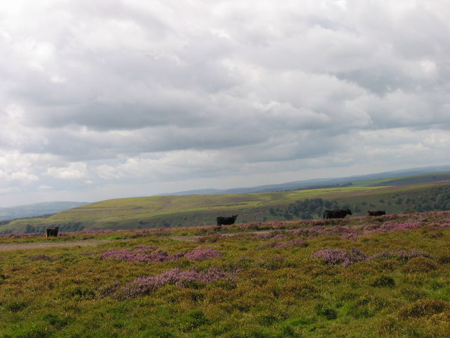
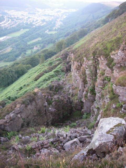
Blaina is surrounded by stunning natural beauty, making it an ideal destination for outdoor enthusiasts. The nearby Ebbw Fach trail offers scenic walks and cycling routes, allowing visitors to explore the picturesque landscapes of the area. Additionally, the town is within easy reach of the Brecon Beacons National Park, providing ample opportunities for hiking, wildlife spotting, and other outdoor activities.
Blaina is well-connected to neighboring towns and cities. The nearby town of Abertillery provides access to essential amenities, including shops, schools, and healthcare facilities. The town has a strong sense of community, with various local events and festivals held throughout the year, fostering a vibrant social scene.
Overall, Blaina offers a peaceful retreat with a rich history, natural beauty, and a strong community spirit.
If you have any feedback on the listing, please let us know in the comments section below.
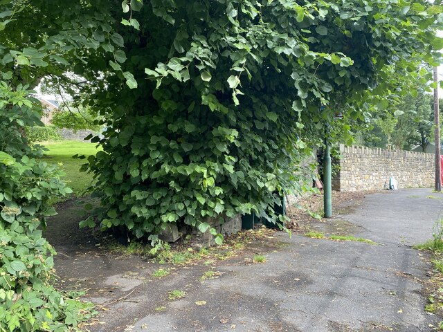
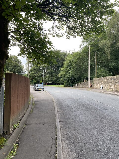
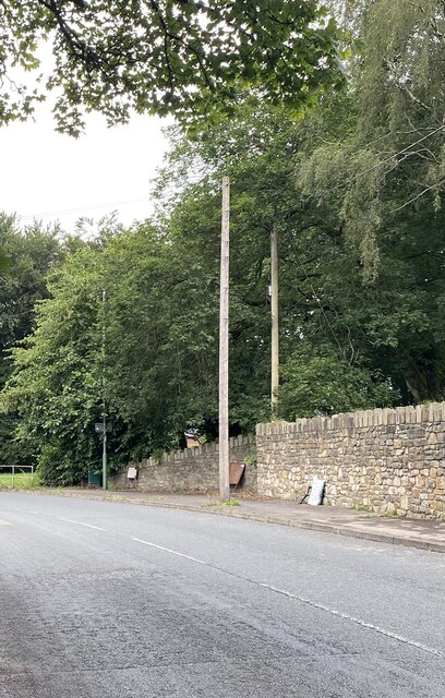
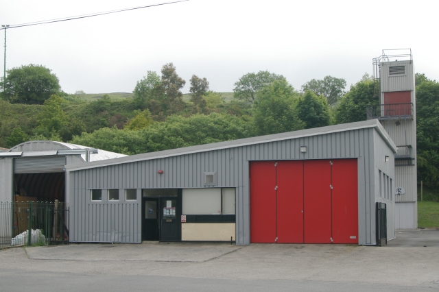
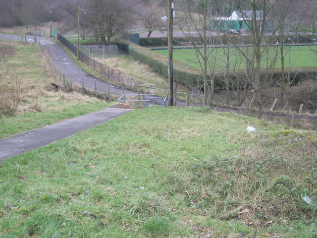
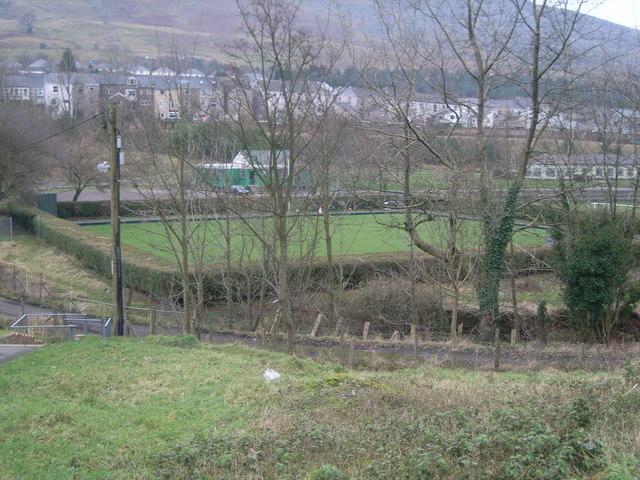
Blaina Images
Images are sourced within 2km of 51.760302/-3.152887 or Grid Reference SO2007. Thanks to Geograph Open Source API. All images are credited.


Blaina is located at Grid Ref: SO2007 (Lat: 51.760302, Lng: -3.152887)
Unitary Authority: Blaenau Gwent
Police Authority: Gwent
Also known as: Blaenau
What 3 Words
///handlebar.seashell.walking. Near Cwm, Blaenau Gwent
Related Wikis

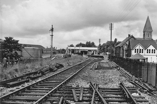
Blaina railway station
Blaina railway station was a station which served the small town of Blaina in the Welsh county of Monmouthshire. == History == Among the lines built by...

Bournville (Mon) Halt railway station
Bournville (Mon) Halt railway station was a station which served Ty'r-Cecil near Blaina Abertillery in the Welsh county of Monmouthshire. == History... ==
Blaina
Blaina ( BLEYE-nə Welsh: Blaenau Welsh pronunciation: [ˈbleɨnaɨ]) is a small town, situated deep within the South Wales Valleys between Brynmawr and Abertillery...

Abertillery Excelsiors A.F.C.
Abertillery Excelsiors A.F.C. are a Welsh football club from the town of Abertillery, Blaenau Gwent in South Wales. Formed in 2000 as Tillery FC, they...
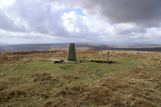
Mynydd Carn-y-cefn
Mynydd Carn-y-cefn (grid reference SO1808) is the name given to the broad ridge of high ground between the Ebbw Vale and the valley of the Ebbw Fach in...

Coalbrookvale
Coalbrookvale (Welsh: Glyn Nant-y-glo) is a village in the Ebbw Valley in Blaenau Gwent. It belongs in the community of Nantyglo and Blaina.It is located...

Cwmtillery
Cwmtillery (from Welsh Cwmtyleri) (population 2011. 4800) is a ward of Abertillery. Located within the historic boundaries of Monmouthshire, it is part...

Blaina & District Hospital
Blaina and District Hospital (Welsh: Ysbyty Blaina a'r Cylch) was a community hospital in Blaina, Blaenau Gwent, Wales. It was managed by the Aneurin Bevan...
Nearby Amenities
Located within 500m of 51.760302,-3.152887Have you been to Blaina?
Leave your review of Blaina below (or comments, questions and feedback).