Blaenau
Settlement in Monmouthshire
Wales
Blaenau

Blaenau is a small village located in Monmouthshire, a county in southeastern Wales. Situated at the foothills of the scenic Brecon Beacons National Park, Blaenau benefits from its picturesque surroundings and offers a tranquil atmosphere for residents and visitors alike.
With a population of around 1,500 people, Blaenau maintains a close-knit community feel. The village is primarily residential, characterized by charming cottages and well-manicured gardens. The local economy is mainly reliant on agriculture and tourism, with many residents working in nearby towns and cities.
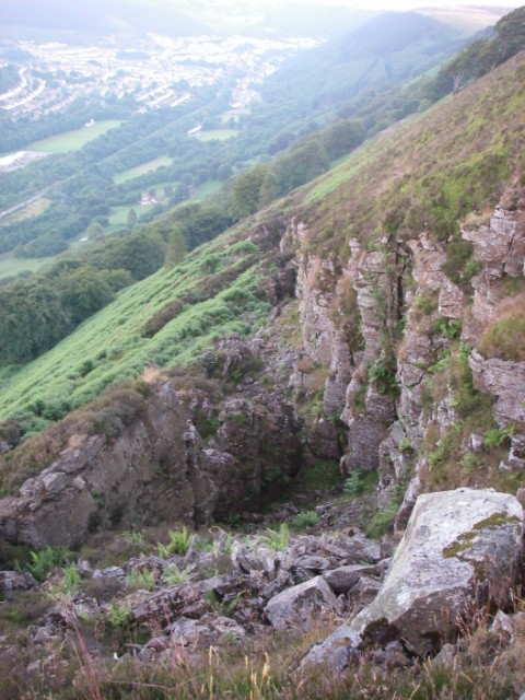
Nature enthusiasts are drawn to Blaenau for its proximity to the Brecon Beacons, which offers an abundance of outdoor activities. Hiking, mountain biking, and birdwatching are popular pastimes in the area. The nearby Usk River provides opportunities for fishing and boating.
Blaenau is also known for its rich history. The village is home to several historic landmarks, including a medieval church and the ruins of a 13th-century castle. These sites attract history buffs and architectural enthusiasts, providing a glimpse into the region's past.
Despite its small size, Blaenau boasts a range of amenities to cater to residents' needs. The village has a primary school, a village hall, and a few local shops and pubs. For further amenities, residents often travel to nearby towns such as Abergavenny or Monmouth.
Overall, Blaenau offers a peaceful and scenic retreat, with its idyllic setting and strong sense of community creating a desirable place to live or visit in Monmouthshire.
If you have any feedback on the listing, please let us know in the comments section below.
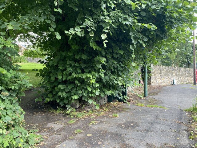
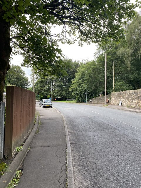
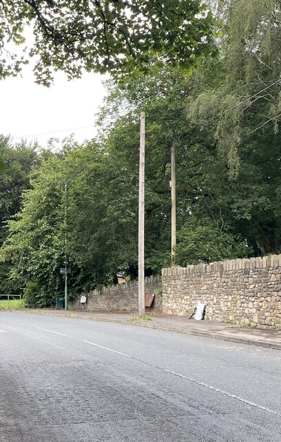
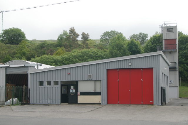
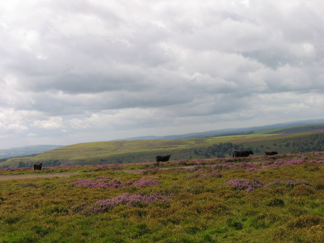
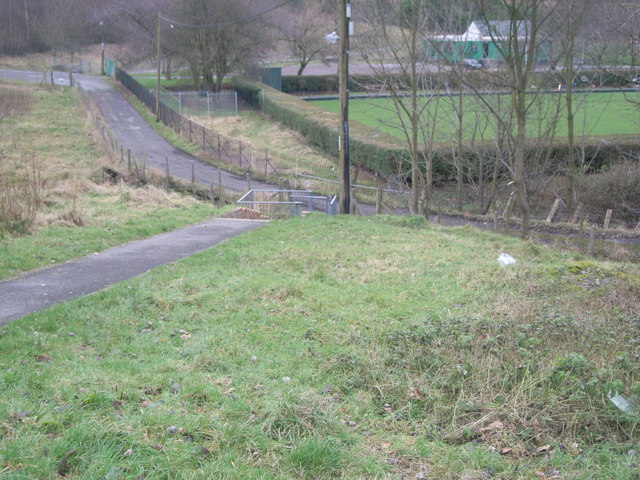
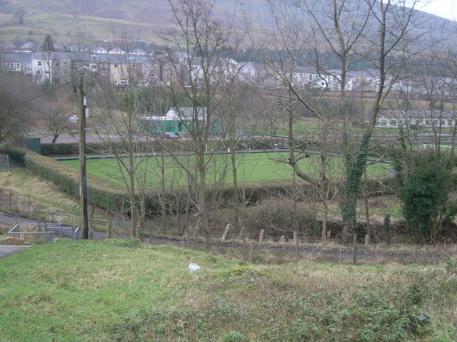
Blaenau Images
Images are sourced within 2km of 51.760302/-3.152887 or Grid Reference SO2007. Thanks to Geograph Open Source API. All images are credited.


Blaenau is located at Grid Ref: SO2007 (Lat: 51.760302, Lng: -3.152887)
Unitary Authority: Blaenau Gwent
Police Authority: Gwent
Also known as: Blaina
What 3 Words
///handlebar.seashell.walking. Near Cwm, Blaenau Gwent
Related Wikis

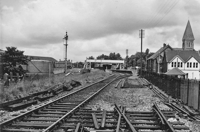
Blaina railway station
Blaina railway station was a station which served the small town of Blaina in the Welsh county of Monmouthshire. == History == Among the lines built by...

Bournville (Mon) Halt railway station
Bournville (Mon) Halt railway station was a station which served Ty'r-Cecil near Blaina Abertillery in the Welsh county of Monmouthshire. == History... ==
Blaina
Blaina ( BLEYE-nə Welsh: Blaenau Welsh pronunciation: [ˈbleɨnaɨ]) is a small town, situated deep within the South Wales Valleys between Brynmawr and Abertillery...

Abertillery Excelsiors A.F.C.
Abertillery Excelsiors A.F.C. are a Welsh football club from the town of Abertillery, Blaenau Gwent in South Wales. Formed in 2000 as Tillery FC, they...
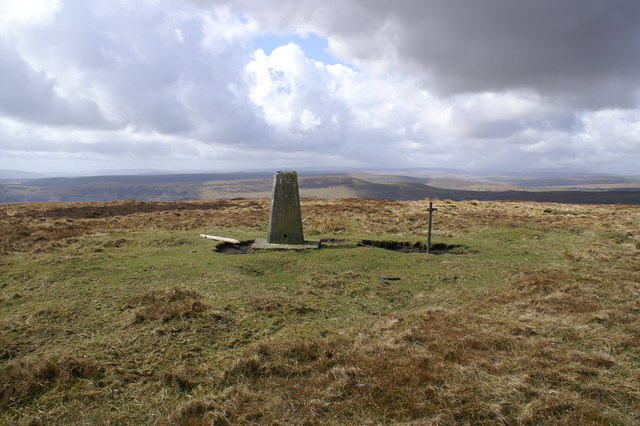
Mynydd Carn-y-cefn
Mynydd Carn-y-cefn (grid reference SO1808) is the name given to the broad ridge of high ground between the Ebbw Vale and the valley of the Ebbw Fach in...

Coalbrookvale
Coalbrookvale (Welsh: Glyn Nant-y-glo) is a village in the Ebbw Valley in Blaenau Gwent. It belongs in the community of Nantyglo and Blaina.It is located...

Cwmtillery
Cwmtillery (from Welsh Cwmtyleri) (population 2011. 4800) is a ward of Abertillery. Located within the historic boundaries of Monmouthshire, it is part...

Blaina & District Hospital
Blaina and District Hospital (Welsh: Ysbyty Blaina a'r Cylch) was a community hospital in Blaina, Blaenau Gwent, Wales. It was managed by the Aneurin Bevan...
Nearby Amenities
Located within 500m of 51.760302,-3.152887Have you been to Blaenau?
Leave your review of Blaenau below (or comments, questions and feedback).