Scotland
Settlement in Leicestershire North West Leicestershire
England
Scotland
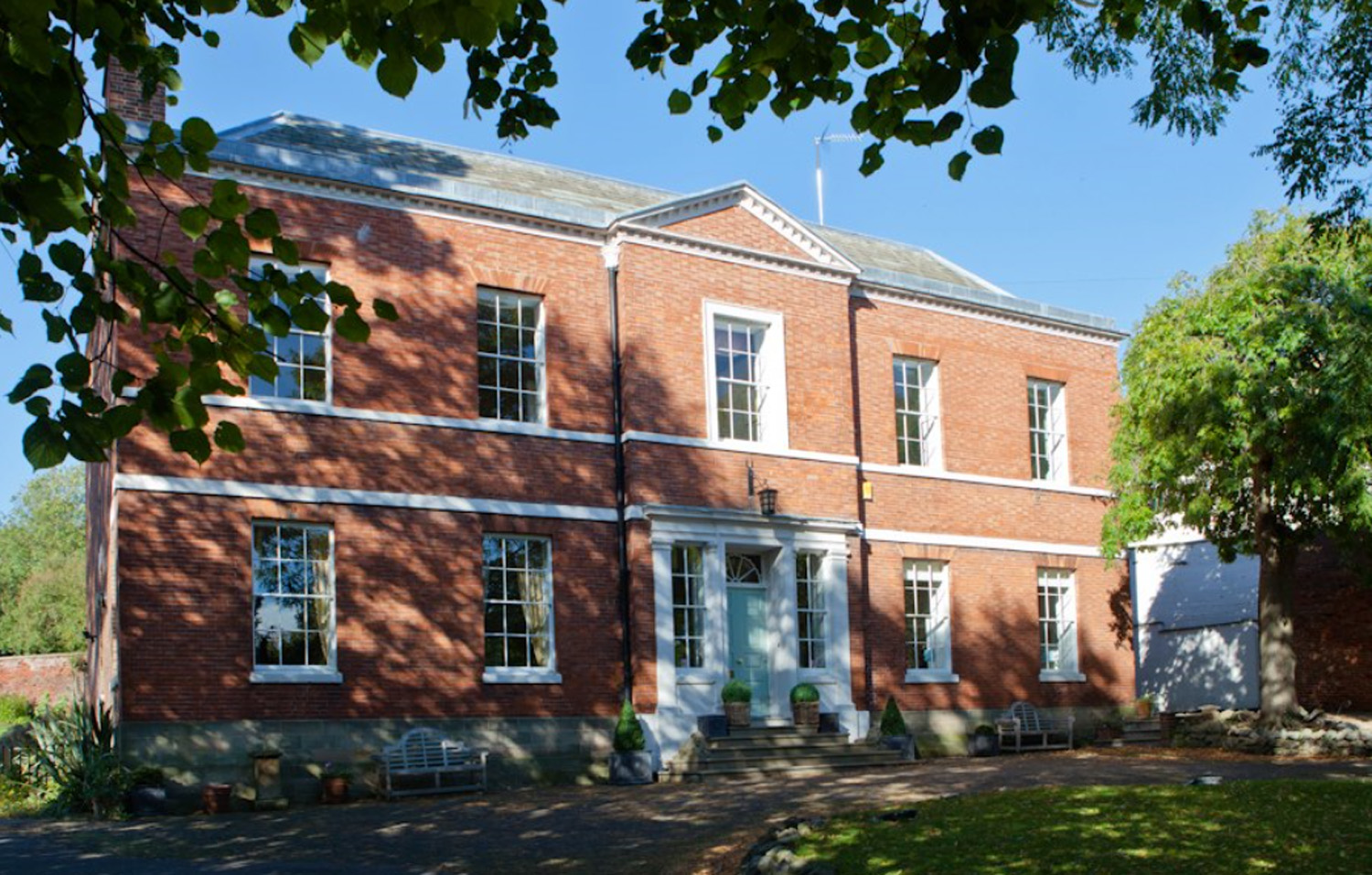
Scotland, Leicestershire is a small but vibrant village located in the county of Leicestershire, England. Situated approximately 6 miles east of the city of Leicester, Scotland is nestled amidst the picturesque landscape of the East Midlands region. Despite its name, Scotland has no connection with the country of Scotland.
The village is known for its charming and peaceful atmosphere, making it an attractive residential area for families and individuals seeking a serene countryside lifestyle. Surrounded by lush green fields and rolling hills, Scotland offers stunning views and ample opportunities for outdoor activities such as hiking, cycling, and leisurely walks.
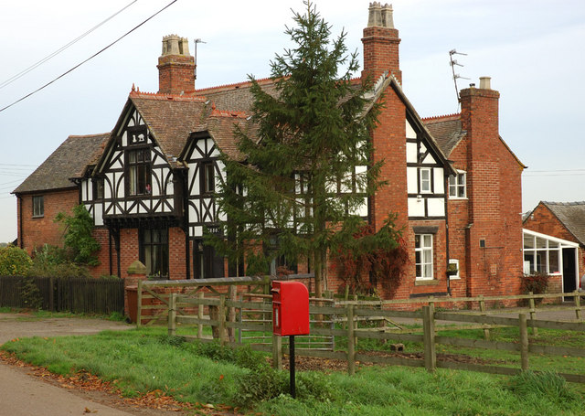
Scotland boasts a close-knit community, with a population of around 1,500 residents. The village is home to a range of amenities including a primary school, a post office, a local convenience store, and a few traditional pubs serving hearty British cuisine. Additionally, Scotland has a strong sense of community spirit, with various events and festivals organized throughout the year to bring residents together.
For those seeking cultural experiences and historical sites, Scotland is ideally located near several notable attractions. The city of Leicester, with its rich history and vibrant cultural scene, is within easy reach. Visitors can explore the Leicester Cathedral, the King Richard III Visitor Centre, and the National Space Centre.
Overall, Scotland, Leicestershire offers a peaceful and idyllic lifestyle in the heart of the English countryside, combined with convenient access to nearby urban amenities and cultural attractions.
If you have any feedback on the listing, please let us know in the comments section below.
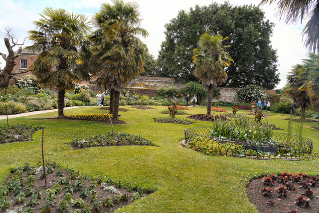
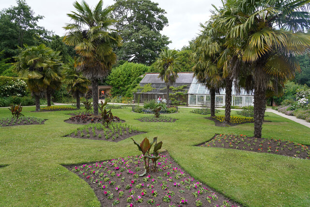
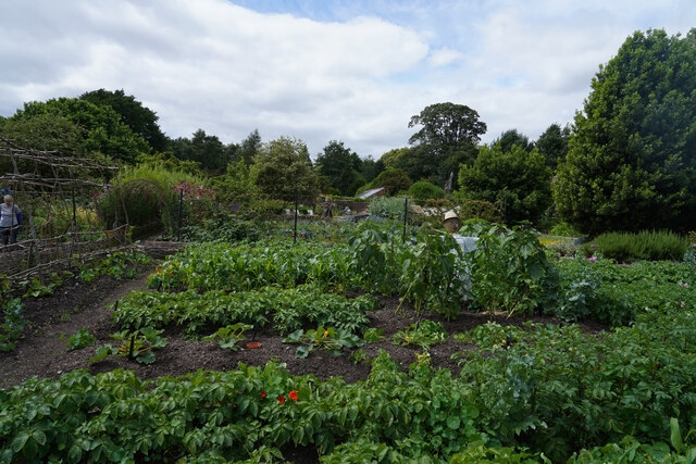
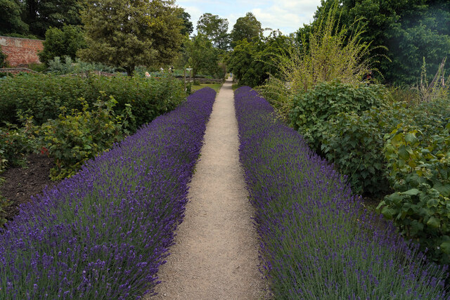
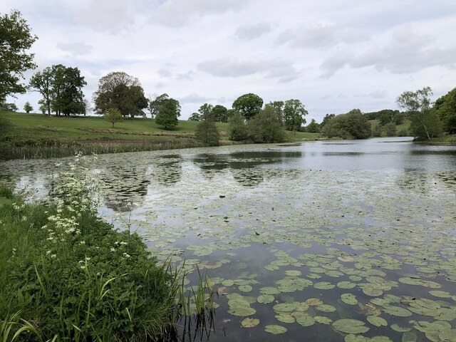
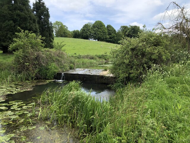
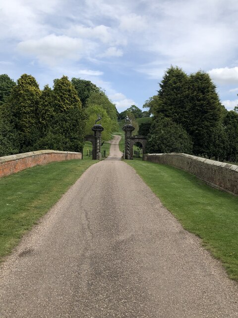
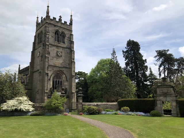
Scotland Images
Images are sourced within 2km of 52.796412/-1.428229 or Grid Reference SK3822. Thanks to Geograph Open Source API. All images are credited.

Scotland is located at Grid Ref: SK3822 (Lat: 52.796412, Lng: -1.428229)
Administrative County: Leicestershire
District: North West Leicestershire
Police Authority: Leicestershire
What 3 Words
///messy.hedge.daunted. Near Melbourne, Derbyshire
Nearby Locations
Related Wikis

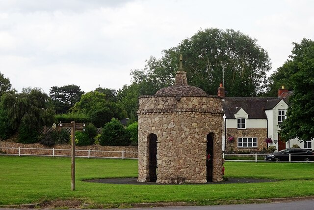
Dimminsdale
Dimminsdale is a 37 hectare geological biological and Site of Special Scientific Interest partly in Derbyshire and partly in Leicestershire. It is located...
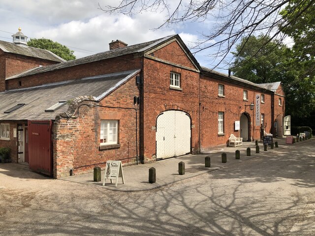
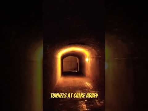
Calke
Calke is a small village and civil parish in the South Derbyshire district of Derbyshire, England. It includes the historic house Calke Abbey, a National...
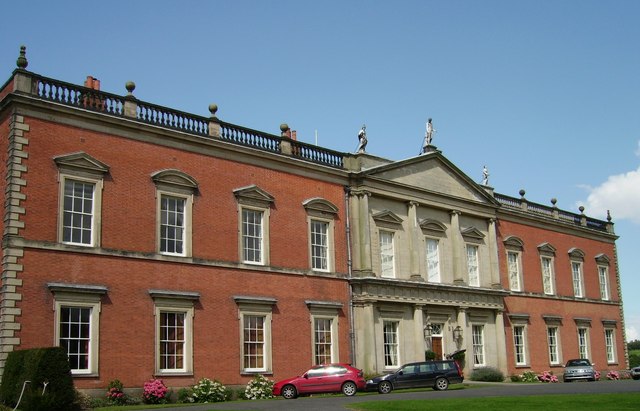
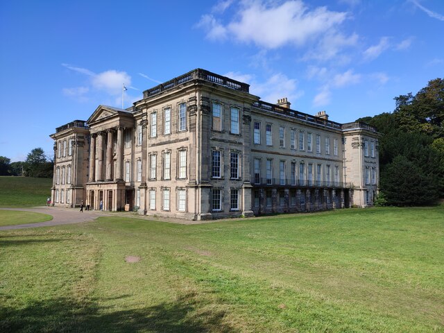
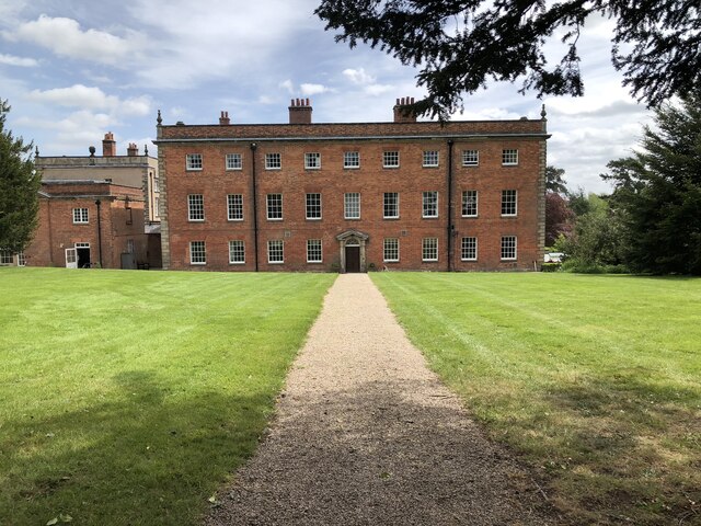
Staunton Harold Hall
Staunton Harold Hall is a large 18th-century Grade I listed country house built by the Earls Ferrers, situated within the 2,000-acre (810 ha) Staunton...
Staunton Harold
Staunton Harold is a civil parish in North West Leicestershire about 3 miles (5 km) north of Ashby-de-la-Zouch. The parish is on the county boundary with...

Staunton Harold Reservoir
Staunton Harold Reservoir is a large reservoir under the management of Severn Trent Water, located between Melbourne and Ticknall in Derbyshire, England...

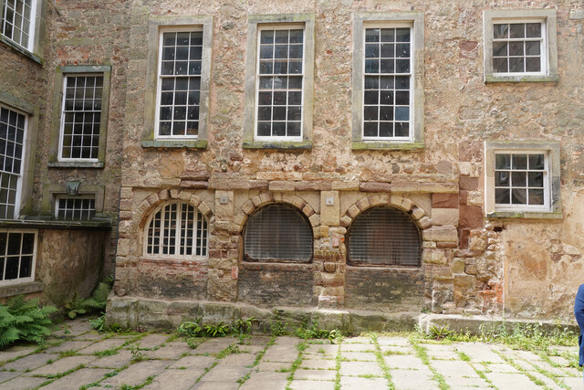
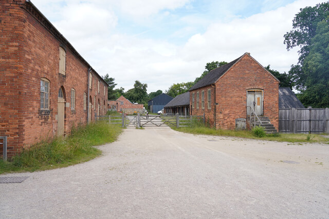
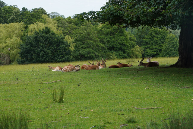
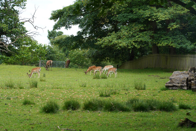
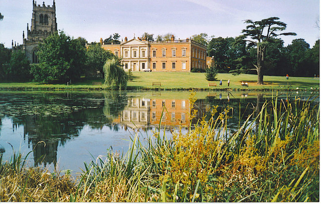
Calke Abbey
Calke Abbey is a Grade I listed country house near Ticknall, Derbyshire, England, in the care of the charitable National Trust. The site was an Augustinian...

Breedon Hill
Breedon Hill is a 5.3-hectare (13-acre) biological Site of Special Scientific Interest on the northern outskirts of Breedon on the Hill in Leicestershire...
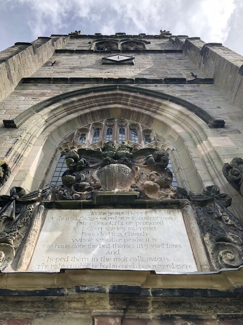
Breedon Hall
Breedon Hall, Breedon on the Hill in north-west Leicestershire, is a house of historical significance and is listed on the English Heritage Register. In...
Related Videos

SLOW LIVING & GARDEN WANDERS IN THE ENGLISH COUNTRYSIDE - Calke Abbey and Stoneywell
Join us this week for a video of slow living and simple beauty. It's more English Countryside adventures as I take a wander around ...


Nearby Amenities
Located within 500m of 52.796412,-1.428229Have you been to Scotland?
Leave your review of Scotland below (or comments, questions and feedback).