Sardis
Settlement in Carmarthenshire
Wales
Sardis

Sardis is a small village situated in the county of Carmarthenshire, Wales. Nestled in the beautiful countryside, the village is surrounded by rolling hills, lush green fields, and picturesque landscapes. It is located approximately 8 miles northeast of Carmarthen, the county town.
Sardis has a rich history that dates back centuries. The village grew around the local chapel, which was built in 1825 and remains an important landmark today. The chapel played a vital role in the religious and social life of the community and continues to hold regular services and events.
The village itself is a close-knit community, with a population of around 300 residents. It offers a peaceful and tranquil environment, making it an ideal place for those seeking a quieter lifestyle. The residents are known for their warm hospitality and strong community spirit.
Although small in size, Sardis has a few amenities to cater to the needs of its residents. These include a village hall, a primary school, and a local shop. For more extensive facilities, residents can easily access the nearby town of Carmarthen, which offers a wide range of shops, restaurants, and leisure activities.
Nature enthusiasts will find plenty to explore in the surrounding area. The village is located close to the Brechfa Forest, a popular destination for hiking, mountain biking, and wildlife spotting. The nearby River Towy also provides opportunities for fishing and water activities.
In conclusion, Sardis offers a peaceful and close-knit community in the heart of the Carmarthenshire countryside. With its rich history, stunning surroundings, and friendly atmosphere, it is an idyllic place to call home.
If you have any feedback on the listing, please let us know in the comments section below.
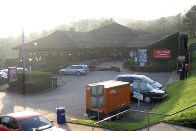
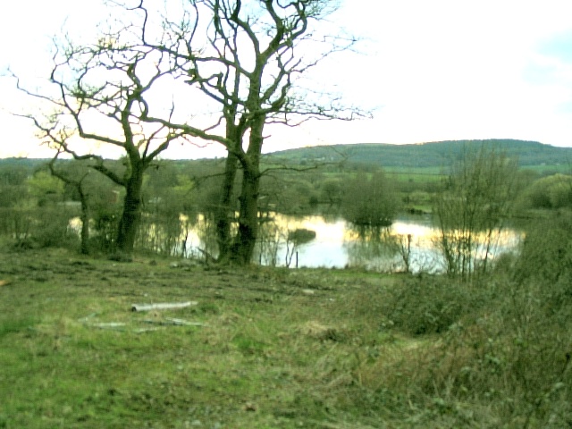
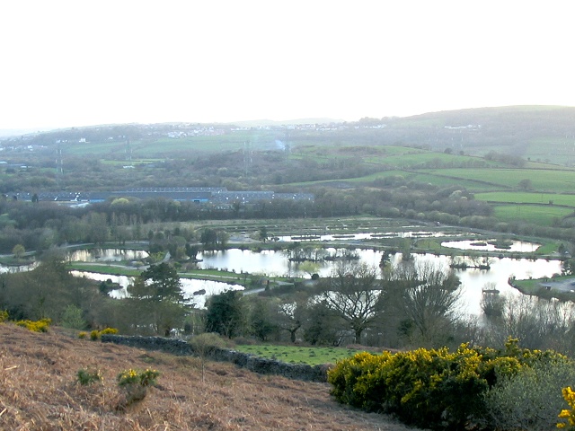
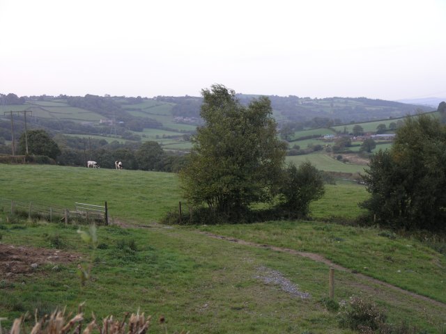
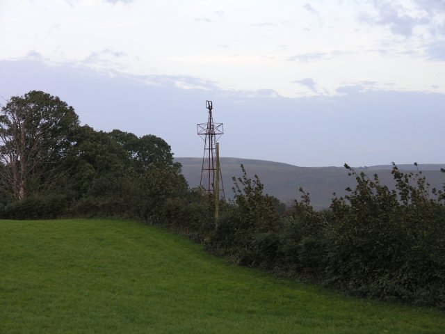
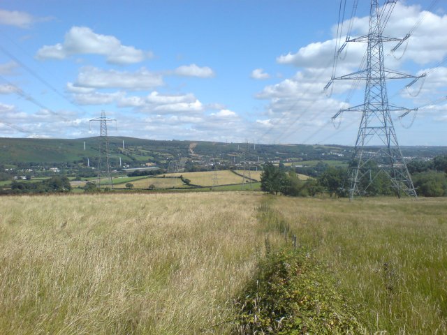
Sardis Images
Images are sourced within 2km of 51.73576/-4.054966 or Grid Reference SN5806. Thanks to Geograph Open Source API. All images are credited.


Sardis is located at Grid Ref: SN5806 (Lat: 51.73576, Lng: -4.054966)
Unitary Authority: Carmarthenshire
Police Authority: Dyfed Powys
What 3 Words
///prospered.pasting.stems. Near Pontarddulais, Swansea
Related Wikis

Llanedi
Llanedi () is a village and community in Carmarthenshire, Wales. Once the name of a parish, Llanedi is now a community taking in the hamlet of Llanedi...
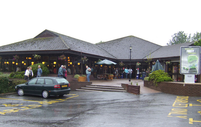
Pont Abraham Services
Pont Abraham Services is a Motorway service area in Carmarthenshire, Wales, near Pontarddulais at the western end of the M4 motorway at junction 49, where...
Pontarddulais (electoral ward)
Pontarddulais is a name of an electoral ward and parish of the City and County of Swansea, south Wales. The parish of Pontarddulais has its own elected...
Pentrebach, Swansea
Pentrebach is a village in City and County of Swansea, Wales within the Pontarddulais ward.

Pontarddulais railway station
Pontarddulais railway station serves the town of Pontarddulais and village of Hendy in Swansea, Wales. The station is located at street level not far from...
Pontarddulais Park
Pontarddulais Park is a cricket ground in Pontarddulais, Glamorgan. The ground was established in 1976, when Pontarddulais Cricket Club played Glamorgan...
Pontarddulais Comprehensive School
Pontarddulais Comprehensive School is an 11–16 mixed comprehensive school situated in the town of Pontarddulais, Wales. It is maintained by the Local...
Hendy
Hendy (Welsh: Yr Hendy) is a village in the community of Llanelli, Carmarthenshire, Wales. It is situated at the Carmarthenshire and the City and County...
Nearby Amenities
Located within 500m of 51.73576,-4.054966Have you been to Sardis?
Leave your review of Sardis below (or comments, questions and feedback).