Llanedi
Settlement in Carmarthenshire
Wales
Llanedi
Llanedi is a small village located in the county of Carmarthenshire, Wales. Situated in the western part of the country, it is nestled within the picturesque countryside, offering residents and visitors a tranquil and scenic environment.
With a population of around 1,200 people, Llanedi retains a strong sense of community. The village is known for its friendly and welcoming atmosphere, making it an attractive place to live or visit. Llanedi is well-connected to the nearby towns and cities, with easy access to the A48 road, allowing residents to enjoy the benefits of rural living while still having convenient links to urban areas.
The village boasts a range of amenities, including a primary school, church, and community center. These facilities play a vital role in preserving the community spirit and providing opportunities for social interaction. Llanedi also has a local pub, where locals and visitors can gather to enjoy a pint or a meal, further enhancing the sense of community.
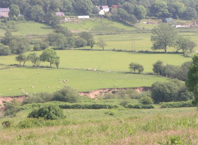
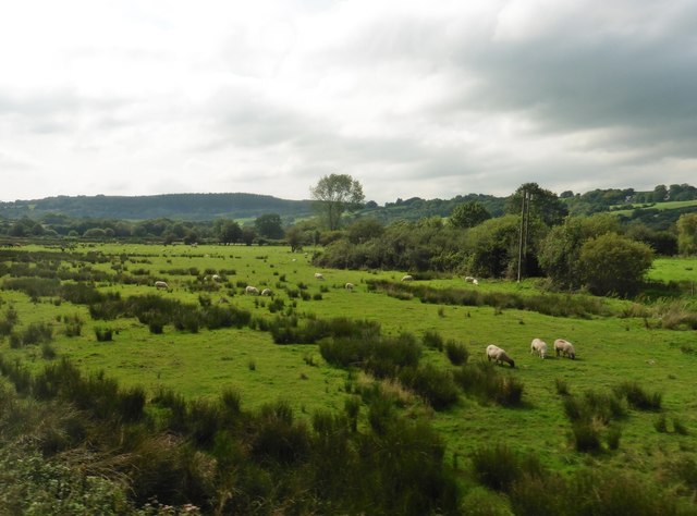
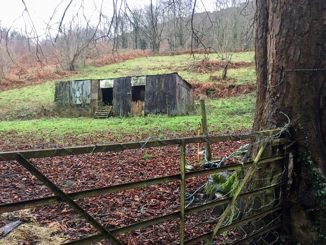
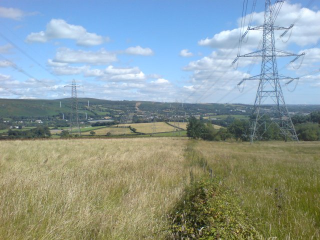
Surrounded by rolling hills and lush green fields, Llanedi offers plenty of opportunities for outdoor activities. The village is located close to the renowned Brecon Beacons National Park, providing residents with access to beautiful walking trails, hiking, and stunning landscapes.
In conclusion, Llanedi is a charming village in Carmarthenshire, Wales, offering a peaceful and close-knit community. Its idyllic location and range of amenities make it an appealing place to live or visit for those seeking a rural escape.
If you have any feedback on the listing, please let us know in the comments section below.
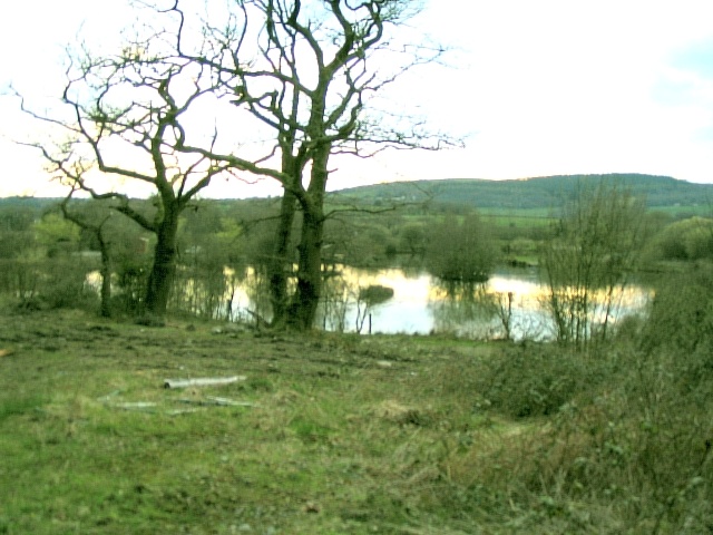
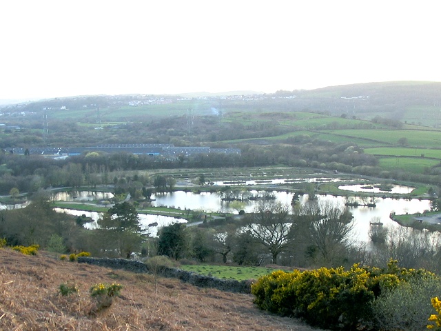
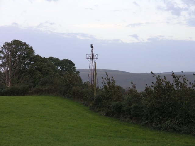
Llanedi Images
Images are sourced within 2km of 51.743767/-4.0492596 or Grid Reference SN5806. Thanks to Geograph Open Source API. All images are credited.

Llanedi is located at Grid Ref: SN5806 (Lat: 51.743767, Lng: -4.0492596)
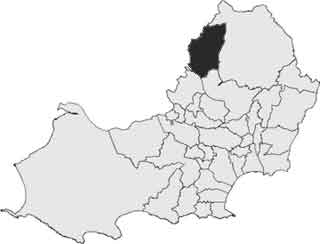
Unitary Authority: Carmarthenshire
Police Authority: Dyfed Powys
What 3 Words
///tens.voucher.conspired. Near Pontarddulais, Swansea
Related Wikis

Llanedi
Llanedi () is a village and community in Carmarthenshire, Wales. Once the name of a parish, Llanedi is now a community taking in the hamlet of Llanedi...
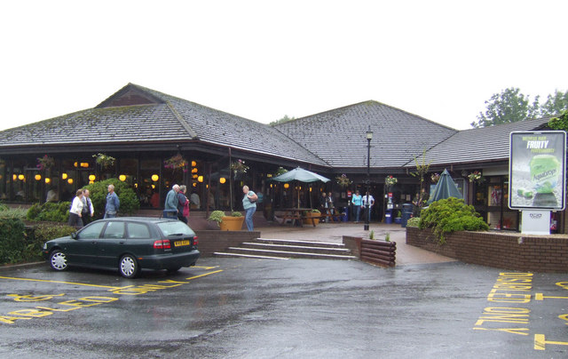
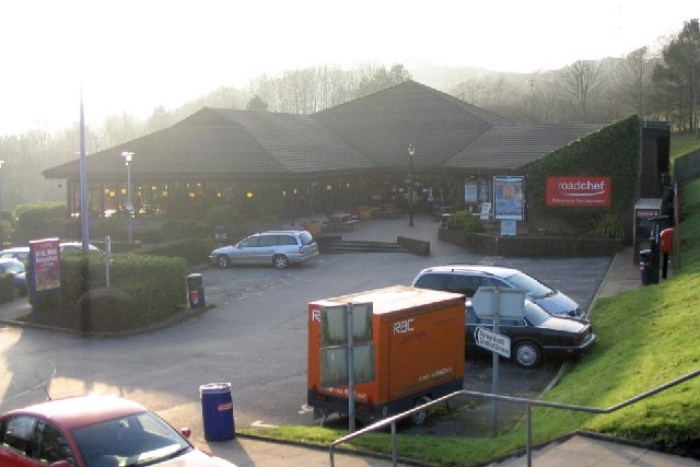
Pont Abraham Services
Pont Abraham Services is a Motorway service area in Carmarthenshire, Wales, near Pontarddulais at the western end of the M4 motorway at junction 49, where...
Pentrebach, Swansea
Pentrebach is a village in City and County of Swansea, Wales within the Pontarddulais ward.
Pontarddulais (electoral ward)
Pontarddulais is a name of an electoral ward and parish of the City and County of Swansea, south Wales. The parish of Pontarddulais has its own elected...
Nearby Amenities
Located within 500m of 51.743767,-4.0492596Have you been to Llanedi?
Leave your review of Llanedi below (or comments, questions and feedback).