Blackwell

Settlement in Cumberland Carlisle

England

Blackwell

Holme Head Bay The weir, on the River Caldew was constructed to supply water to the Ferguson Bros weaving mill seen in the background
Holme Head Bay Credit: Brian Norman

Blackwell is a small village located in the county of Cumberland, England. It is situated in the northern part of the county, near the border with Scotland. With a population of around 500 residents, it is known for its picturesque landscapes and historic charm.

The village of Blackwell is surrounded by rolling hills and lush green fields, making it an ideal destination for nature lovers and outdoor enthusiasts. The nearby Blackwell Forest is a popular spot for hiking, offering scenic trails and stunning views of the surrounding countryside.

Historically, Blackwell has been a rural farming community, with agriculture playing a significant role in its economy. The village is dotted with traditional cottages and farmhouses, giving it a quintessential English countryside feel.

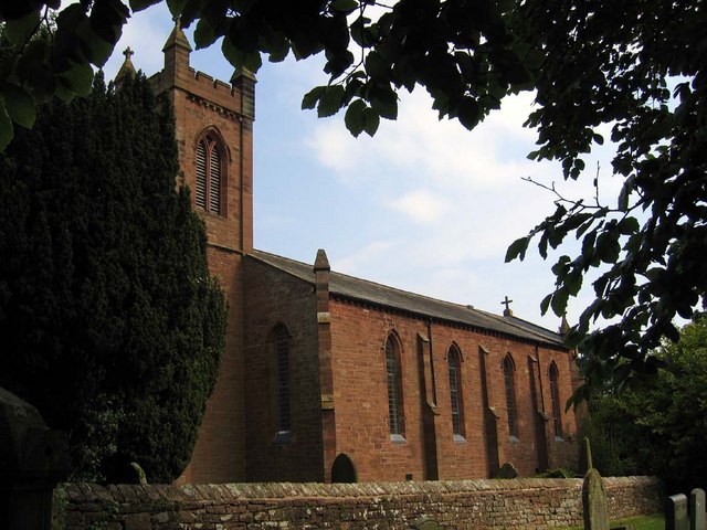
Blackwell is also home to several notable landmarks and attractions. The Blackwell Grange is a magnificent Georgian mansion that dates back to the 18th century. It is renowned for its exquisite architecture and beautifully landscaped gardens. The village also boasts a charming parish church, St. Mary's, which has stood for centuries and features stunning stained glass windows and intricate carvings.

Despite its small size, Blackwell offers a range of amenities to its residents and visitors. There are a few local shops and a quaint village pub, providing essential services and a cozy atmosphere for socializing.

Overall, Blackwell, Cumberland, is a tranquil and picturesque village that offers a glimpse into England's rural beauty and rich history.

If you have any feedback on the listing, please let us know in the comments section below.
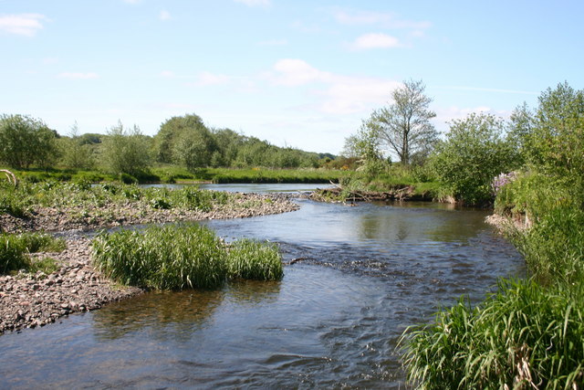
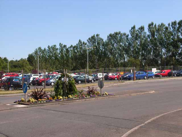
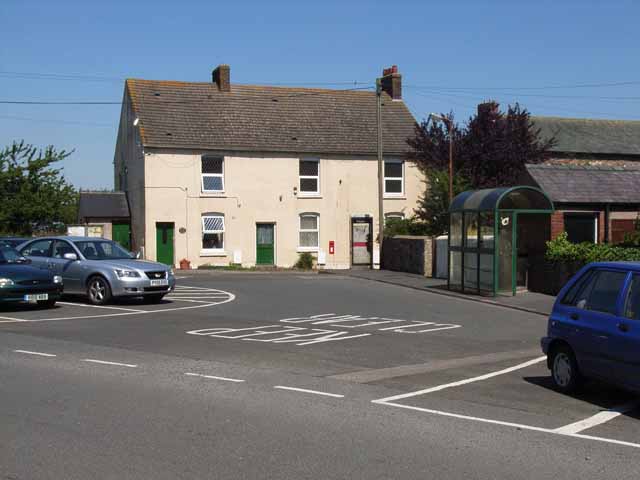
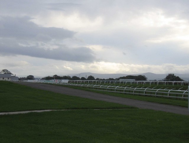
Blackwell Images

Images are sourced within 2km of 54.864256/-2.932598 or Grid Reference NY4052. Thanks to Geograph Open Source API. All images are credited.

Holme Head Bay The weir, on the River Caldew was constructed to supply water to the Ferguson Bros weaving mill seen in the background
Holme Head Bay
The weir, on the River Caldew was constructed to supply water to the Ferguson Bros weaving mill seen in the background
Cumbria Cycleway This section links Dalston to Carlisle, and is motor traffic free.
Cumbria Cycleway
This section links Dalston to Carlisle, and is motor traffic free.
River Caldew At the site of an old weir, the river splits.
River Caldew
At the site of an old weir, the river splits.
Cumbria Cycleway Here this cyclepath winds through the valley of the River Caldew, quiet and calm.
Cumbria Cycleway
Here this cyclepath winds through the valley of the River Caldew, quiet and calm.
The car park at Pirelli's, Dalston Road, Carlisle
Village centre, Cummersdale Hidden away at the end of a cul de sac off the Dalston Road, Carlisle. There are few facilities beyond a bus stop and a pub just down the road.
Village centre, Cummersdale
Hidden away at the end of a cul de sac off the Dalston Road, Carlisle. There are few facilities beyond a bus stop and a pub just down the road.
Farm in Cummersdale Set right in the middle of the village
Farm in Cummersdale
Set right in the middle of the village
Spinners Arms, Cummersdale
Factory Yard, Cummersdale On the site of a former water mill, this factory now prints textiles and is operated by Stead McAlpin.
Factory Yard, Cummersdale
On the site of a former water mill, this factory now prints textiles and is operated by Stead McAlpin.
Stead McAlpin Factory, Cummersdale On the site of a former watermill, this factory produces printed textiles
Stead McAlpin Factory, Cummersdale
On the site of a former watermill, this factory produces printed textiles
Cummersdale Viaduct Cummersdale Viaduct carries the Maryport and Carlisle railway line over the River Caldew. The path is part of The Cumbria Way long distance footpath.
The Viaduct comprises three 31.1ft (54ft on the skew) spans with stone abutments, wrought iron and steel girders and timber decking.
Cummersdale Viaduct
Cummersdale Viaduct carries the Maryport and Carlisle railway line over the River Caldew. The path is part of The Cumbria Way long distance footpath. The Viaduct comprises three 31.1ft (54ft on the skew) spans with stone abutments, wrought iron and steel girders and timber decking.
The Cumbria Way and the River Caldew At this point the path carrying The Cumbria Way and the Cumbria Cycleway is squeezed between the Maryport to Carlisle railway and the River Caldew.
The Cumbria Way and the River Caldew
At this point the path carrying The Cumbria Way and the Cumbria Cycleway is squeezed between the Maryport to Carlisle railway and the River Caldew.
Railway Bridge near Thurnam Wood This small sandstone arched bridge beside The Cumbria Way carries the Maryport to Carlisle railway over a small, slow flowing beck.
Railway Bridge near Thurnam Wood
This small sandstone arched bridge beside The Cumbria Way carries the Maryport to Carlisle railway over a small, slow flowing beck.
Cumbria Cycleway meets River Caldew
Meadow by River Caldew
Field near Durdar
Field near Durdar
Risky Footpath Although the farmer assured us it was a perfectly harmless beast, we took an alternative way round.
Risky Footpath
Although the farmer assured us it was a perfectly harmless beast, we took an alternative way round.
Milking Time over
Milking Time over
Show me another place!

Blackwell is located at Grid Ref: NY4052 (Lat: 54.864256, Lng: -2.932598)

Administrative County: Cumbria

District: Carlisle

Police Authority: Cumbria

What 3 Words

///hike.squad.nail. Near Denton Holme, Cumbria

Nearby Locations

Blackwell

Related Wikis

Nearby Amenities

Located within 500m of 54.864256,-2.932598
Check Date: 2015-05-10
Disused Amenity: pub
Old Name: The White Ox
Lat/Long: 54.8684138/-2.933026
Bus Stop
White Ox in
Local Ref: AT
Naptan AtcoCode: 090033104107
Naptan Bearing: N
Naptan CommonName: White Ox in
Naptan Indicator: At
Naptan Landmark: Lowry Street Junction
Naptan NaptanCode: cumdpmaw
Naptan PlusbusZoneRef: CARLILE
Naptan Street: Durdar Road
Naptan Verified: no
Source: naptan_import
Lat/Long: 54.8686284/-2.9326
Bus Stop
Blackwell Terminus
Naptan AtcoCode: 090033361866
Naptan Bearing: N
Naptan CommonName: Blackwell Terminus
Naptan Indicator: opp
Naptan Landmark: Blackwell Common
Naptan NaptanCode: cumatdmg
Naptan PlusbusZoneRef: CARLILE
Naptan Street: Durdar Road
Naptan Verified: no
Source: naptan_import
Lat/Long: 54.8651472/-2.9306811
Bus Stop
Durdar Rd Racecourse in
Naptan AtcoCode: 090033362012
Naptan Bearing: N
Naptan CommonName: Durdar Rd Racecourse in
Naptan Indicator: opp
Naptan Landmark: no. 245
Naptan NaptanCode: cumatdmj
Naptan PlusbusZoneRef: CARLILE
Naptan Street: Currock Road
Naptan Verified: no
Source: naptan_import
Lat/Long: 54.8618507/-2.9292809
Bus Stop
Durdar Rd Racecourse out
Naptan AtcoCode: 090033362141
Naptan Bearing: S
Naptan CommonName: Durdar Rd Racecourse out
Naptan Indicator: Outside
Naptan Landmark: no. 251
Naptan NaptanCode: cumatdpa
Naptan PlusbusZoneRef: CARLILE
Naptan Street: Currock Road
Naptan Verified: no
Source: naptan_import
Lat/Long: 54.8613406/-2.9290043
Bus Stop
Low Moor ave
Naptan AtcoCode: 090033362488
Naptan Bearing: S
Naptan CommonName: Low Moor ave
Naptan Indicator: o/s
Naptan Landmark: no. 185
Naptan NaptanCode: cumatdpj
Naptan PlusbusZoneRef: CARLILE
Naptan Street: Durdar Road
Naptan Verified: no
Source: naptan_import
Lat/Long: 54.8645679/-2.9300445
Post Box
Ref: CA2 14
Source: survey
Lat/Long: 54.8683833/-2.932716
Post Box
Ref: CA2 5
Lat/Long: 54.8648325/-2.9301172
The data included in this document is from www.openstreetmap.org. The data is made available under ODbL.

Have you been to Blackwell?

Leave your review of Blackwell below (or comments, questions and feedback).