Saltdean
Settlement in Sussex
England
Saltdean
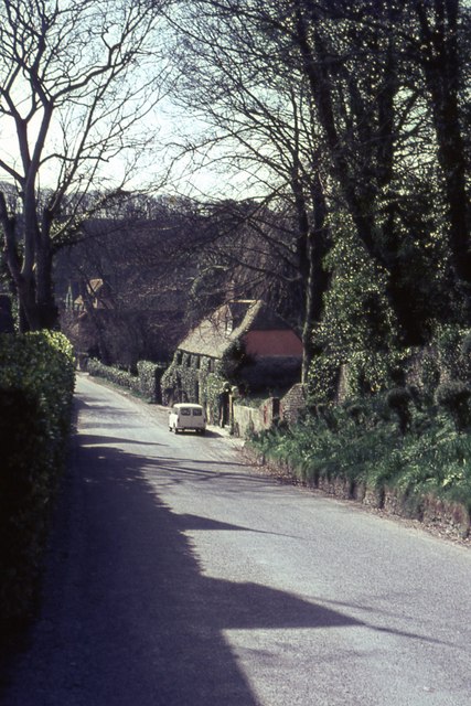
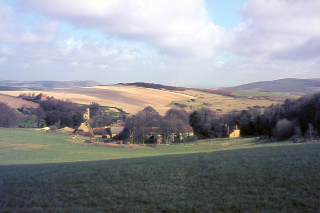
Saltdean is a charming coastal village located in East Sussex, England. Situated approximately six miles east of Brighton, it is nestled between the South Downs National Park and the English Channel. With its stunning natural beauty and close proximity to major cities, Saltdean has become a popular residential area.
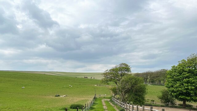
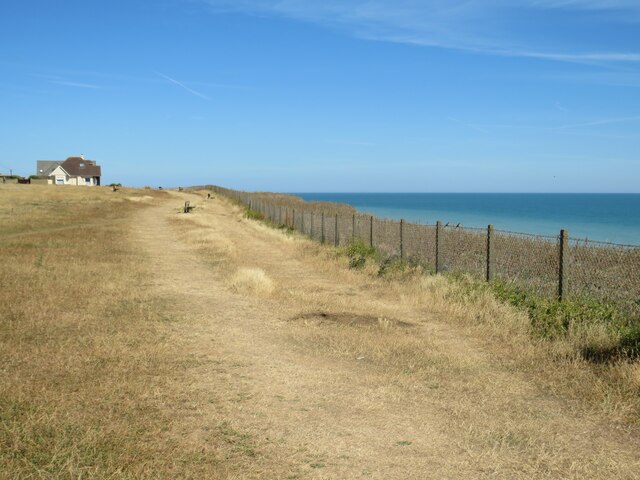
Characterized by its picturesque coastline, Saltdean boasts a pebble beach that stretches for miles, offering breathtaking views of the sea. The beach is a haven for outdoor enthusiasts, who can enjoy activities such as swimming, fishing, and beachcombing. Additionally, the nearby cliffs provide opportunities for hiking and birdwatching.
Saltdean is also known for its unique architecture, particularly the Saltdean Lido. This iconic Art Deco building, built in the 1930s, is a popular attraction for locals and tourists alike. It features an outdoor swimming pool, sun terraces, and a cafe, making it a perfect spot for relaxation and recreation.
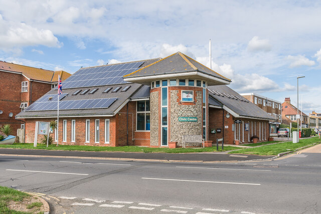
The village itself has a close-knit community atmosphere, with several local amenities and shops catering to residents' needs. There are also a number of schools and recreational facilities, making Saltdean an ideal place for families.
Transportation in Saltdean is convenient, with regular bus services connecting the village to nearby towns and cities. The village is also easily accessible by car, with the A259 coastal road passing through it.
Overall, Saltdean offers a unique blend of natural beauty, architectural charm, and a welcoming community, making it an attractive place to live or visit in Sussex.
If you have any feedback on the listing, please let us know in the comments section below.
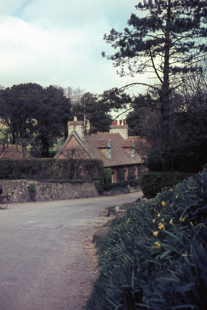
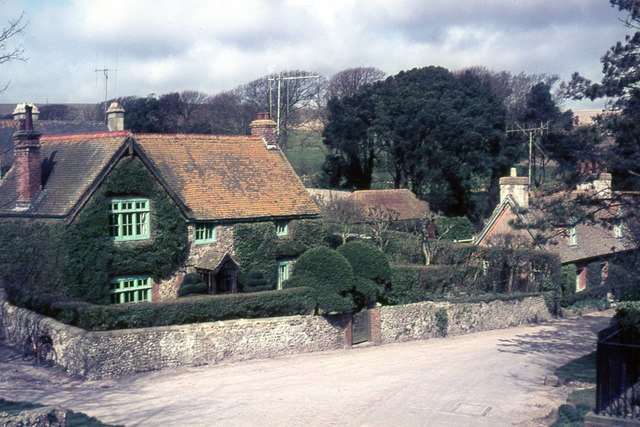
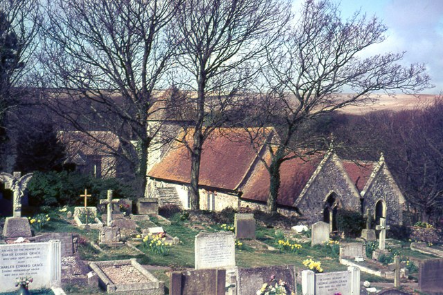
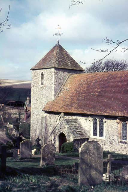
Saltdean Images
Images are sourced within 2km of 50.806198/-0.032593 or Grid Reference TQ3802. Thanks to Geograph Open Source API. All images are credited.

Saltdean is located at Grid Ref: TQ3802 (Lat: 50.806198, Lng: -0.032593)
Unitary Authority: Brighton and Hove
Police Authority: Sussex
What 3 Words
///additives.acclaimed.wallet. Near Rottingdean, East Sussex
Nearby Locations
Related Wikis
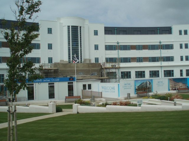
Grand Ocean, Saltdean
Grand Ocean is a restored 1938 hotel building in Saltdean, Brighton, on the south coast of England. == History == Grand Ocean was designed by architect...

Saltdean
Saltdean is a coastal village in the city of Brighton and Hove, with part (known as East Saltdean) outside the city boundary in Lewes district. Saltdean...

Saltdean Lido
Saltdean Lido at Saltdean Park Road, Saltdean, in the city of Brighton and Hove, in the ceremonial county of East Sussex, England, is an Art Deco lido...

Saltdean United F.C.
Saltdean United Football Club is a football club based in Saltdean in the city of Brighton & Hove on the south coast of England. They are currently members...
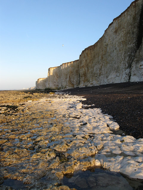
Brighton to Newhaven Cliffs
Brighton to Newhaven Cliffs is a 165.4-hectare (409-acre) biological and geological Site of Special Scientific Interest and Geological Conservation Review...
Telscombe
Telscombe is a town and civil parish in the Lewes District of East Sussex, England. It consists of three distinct settlements, separated from each other...
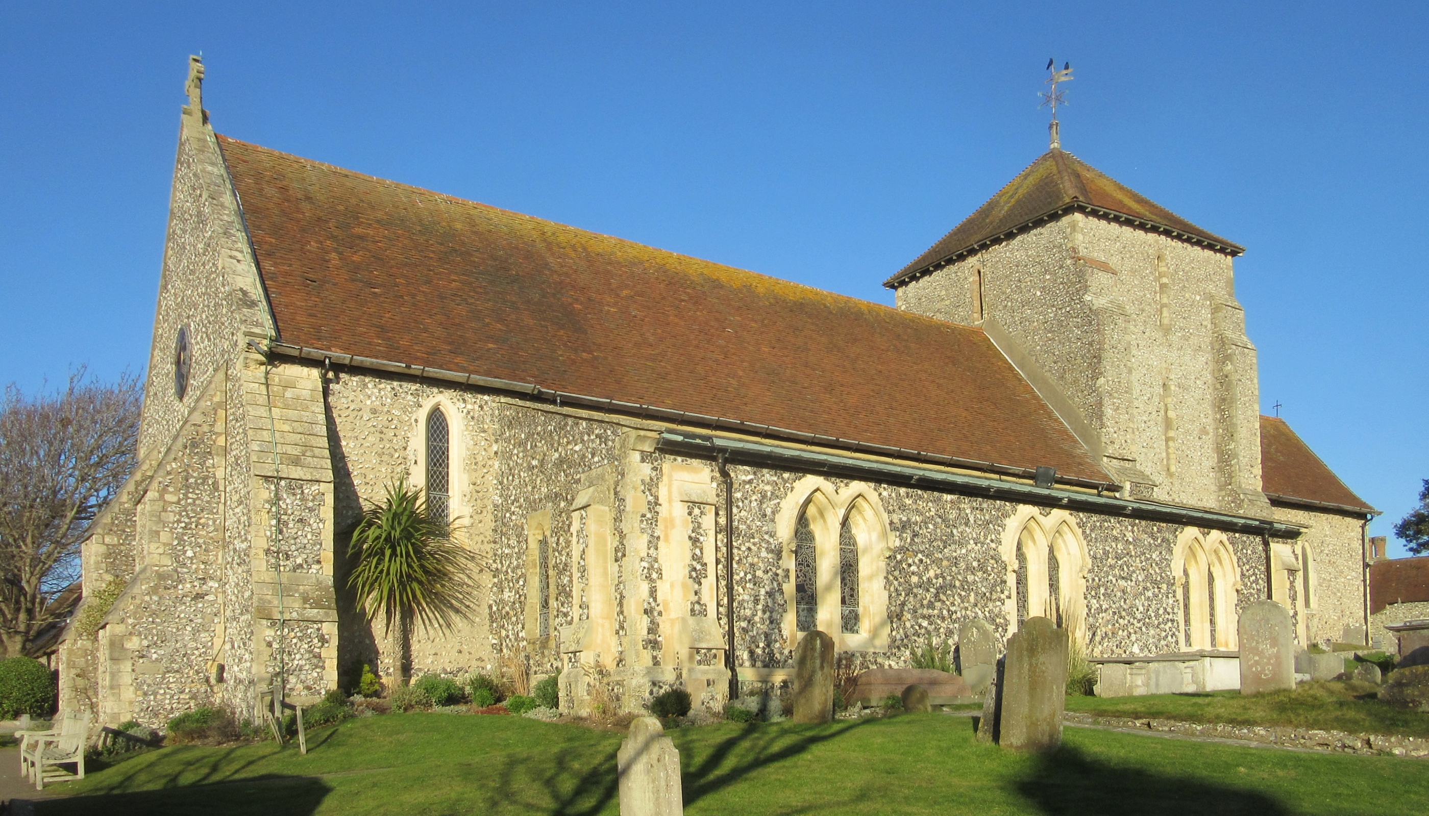
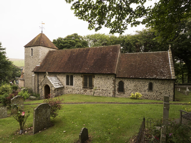
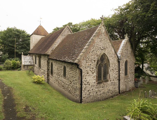
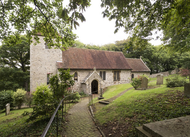
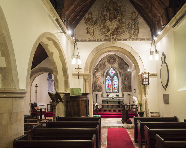
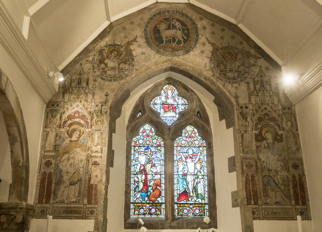
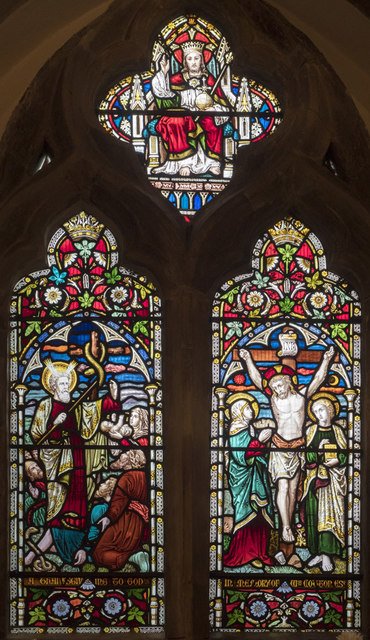
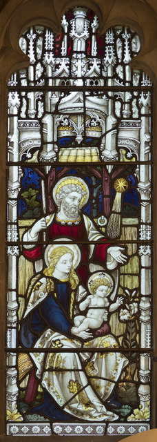
St Margaret's Church, Rottingdean
St Margaret's Church is an Anglican church in the village of Rottingdean, in the city of Brighton and Hove, England. It is the parish church of Rottingdean...
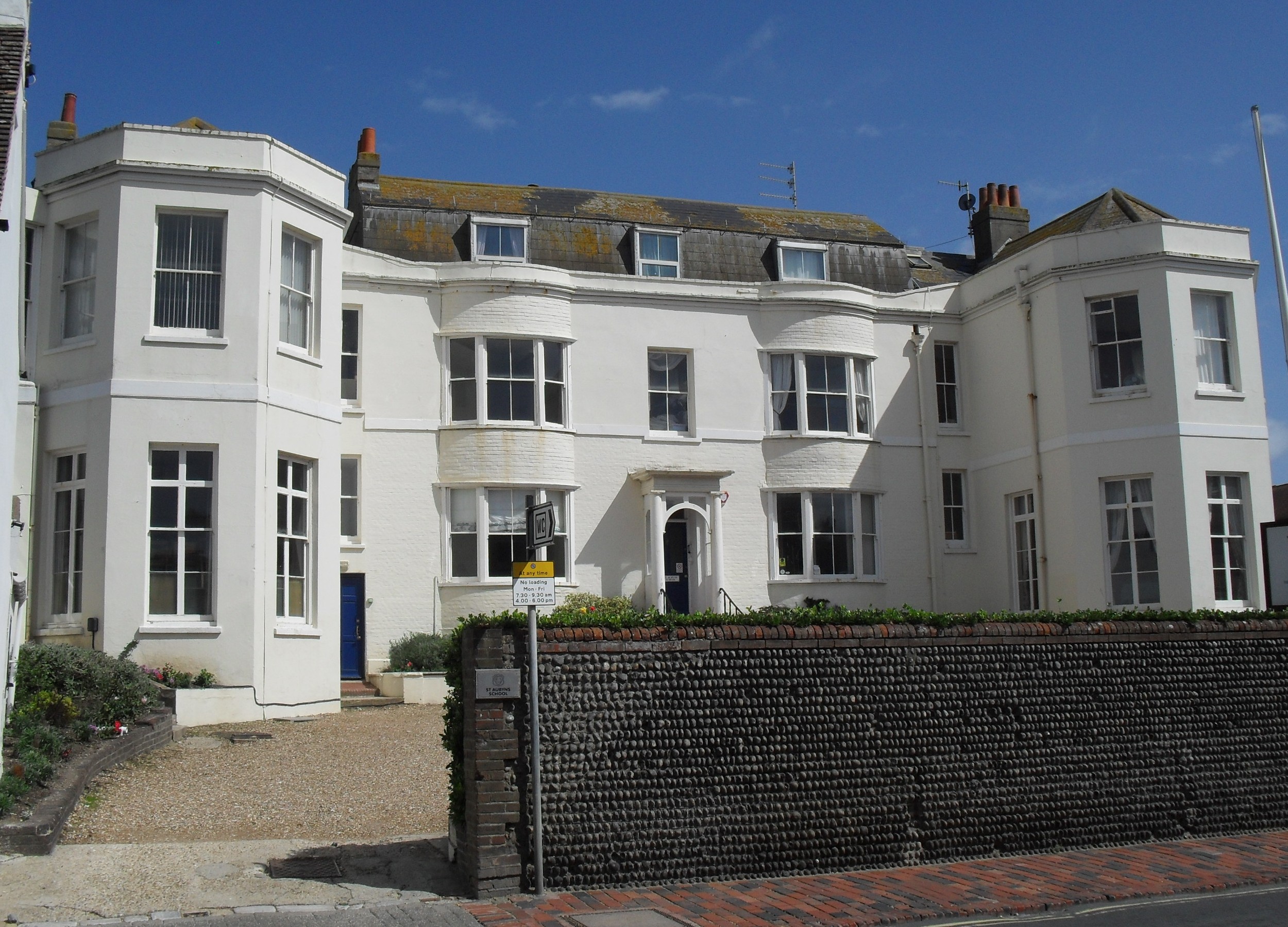
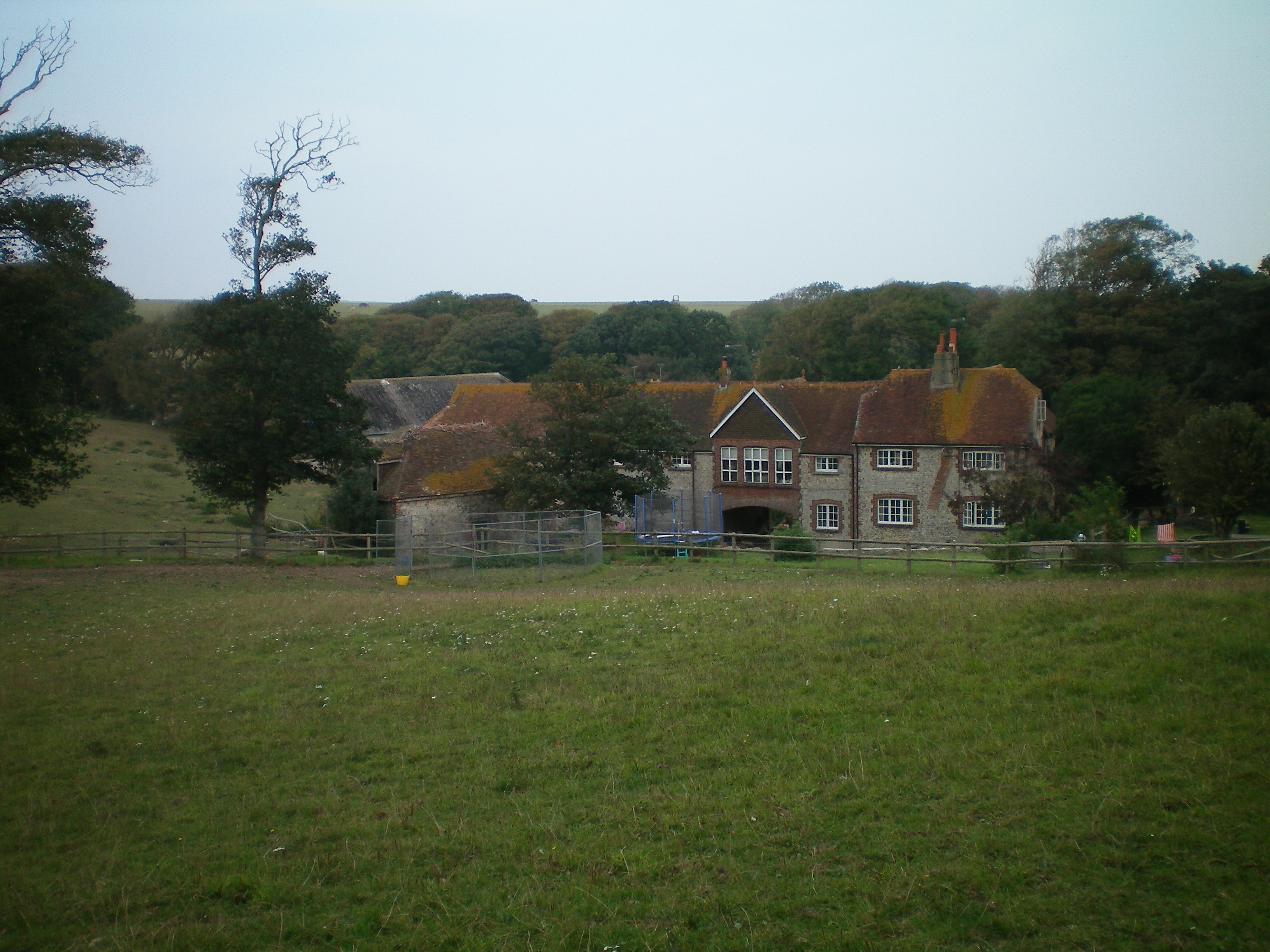
St Aubyns School
St. Aubyns School was a boys' preparatory school in Rottingdean, East Sussex, England, which in its final years became co-educational and taught children...
Nearby Amenities
Located within 500m of 50.806198,-0.032593Have you been to Saltdean?
Leave your review of Saltdean below (or comments, questions and feedback).