Saltcoats Campbell

Settlement in Ayrshire

Scotland

Saltcoats Campbell

Ardeer Beach - Stevenston Ardeer Beach

Ardeer was once an island with a sea channel running along to exit in the vicinity of Auchenharvie Academy. By the late 17th century the island had become a peninsula due to extreme sand movements which may have also choked the sea channel that had made Ardeer an island.
Ardeer Beach - Stevenston Credit: Raibeart MacAoidh

Saltcoats is a small town located on the west coast of Scotland in the council area of North Ayrshire. It is part of the larger conurbation known as the Three Towns, along with Ardrossan and Stevenston. Saltcoats has a population of around 11,000 residents.

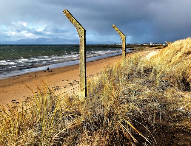
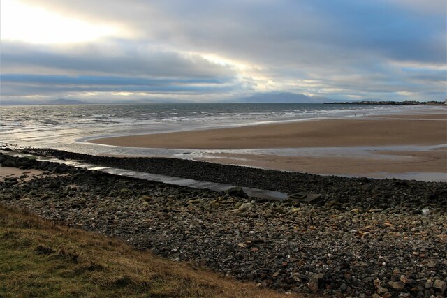
The town has a rich history dating back to the 18th century when it was known for its fishing industry and salt production, which gave the town its name. Today, Saltcoats is a popular seaside destination with a sandy beach and promenade that attracts visitors during the summer months.

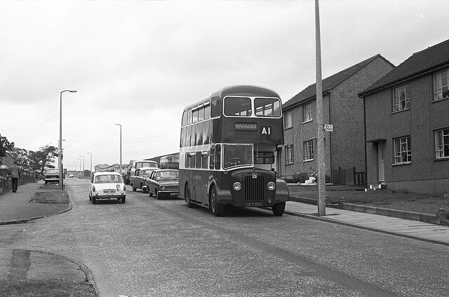
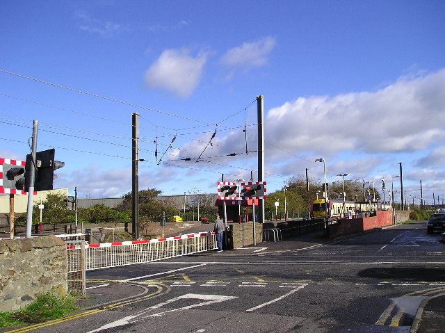
Saltcoats has a range of amenities including shops, restaurants, and pubs, as well as a leisure centre and golf course. The town is well-connected by road and rail, with regular train services to Glasgow and Largs.

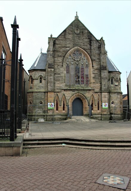
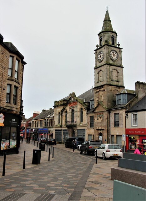
Saltcoats Campbell is a prominent landmark in the town, named after the Campbell family who were influential figures in the area. The building is a historic structure that now serves as a community hub and event space. Overall, Saltcoats is a charming coastal town with a strong sense of community and a vibrant atmosphere.

If you have any feedback on the listing, please let us know in the comments section below.

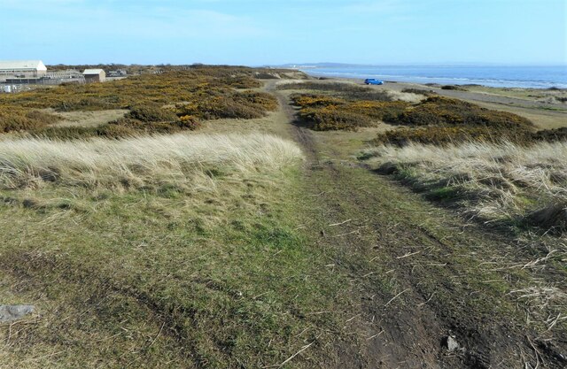
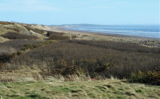
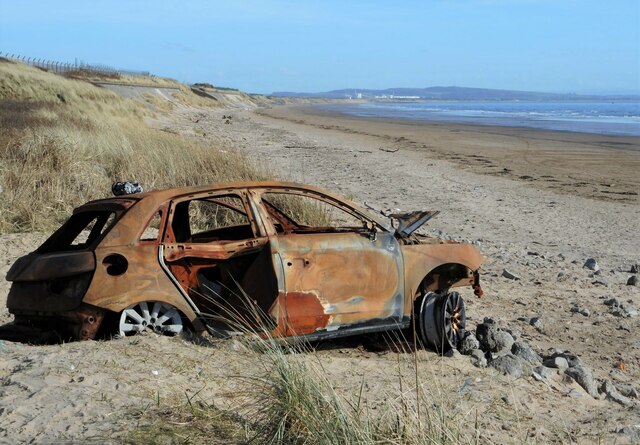
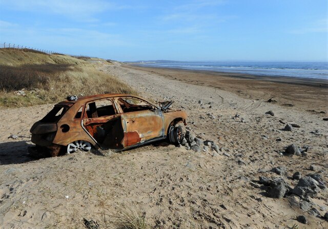
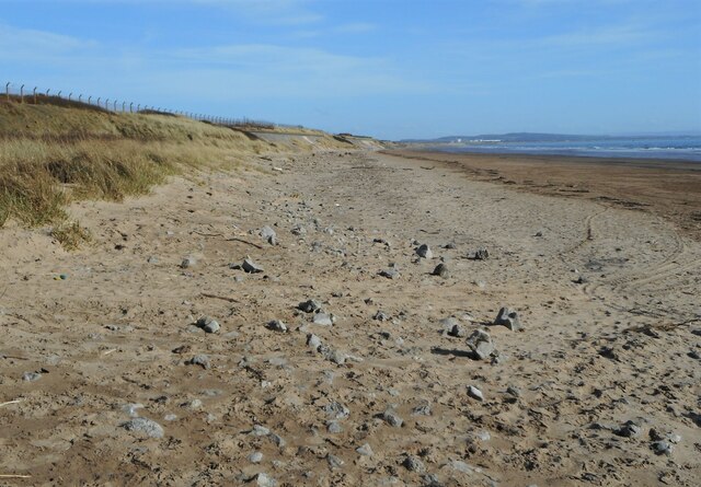
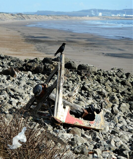
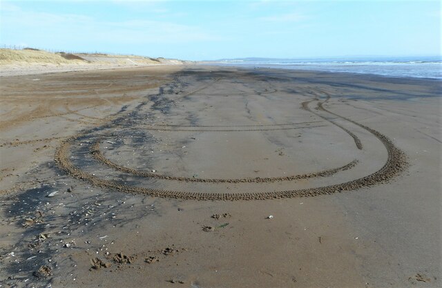
Saltcoats Campbell Images

Images are sourced within 2km of 55.631339/-4.7655194 or Grid Reference NS2641. Thanks to Geograph Open Source API. All images are credited.

Ardeer Beach - Stevenston Ardeer Beach

Ardeer was once an island with a sea channel running along to exit in the vicinity of Auchenharvie Academy. By the late 17th century the island had become a peninsula due to extreme sand movements which may have also choked the sea channel that had made Ardeer an island.
Ardeer Beach - Stevenston
Ardeer Beach Ardeer was once an island with a sea channel running along to exit in the vicinity of Auchenharvie Academy. By the late 17th century the island had become a peninsula due to extreme sand movements which may have also choked the sea channel that had made Ardeer an island.
'The Burning Place' - Saltcoats, North Ayrshire The Burning Place of Sarah Vincent of Saltcoats.
 
 Sarah Vincent was the last witch to be executed in Saltcoats.
The inscription has been worn away, but the word Saltcoats can still be seen.
'The Burning Place' - Saltcoats, North Ayrshire
The Burning Place of Sarah Vincent of Saltcoats. Sarah Vincent was the last witch to be executed in Saltcoats. The inscription has been worn away, but the word Saltcoats can still be seen.
A1 Service bus on Dalry Road, Saltcoats – 1970 The housing here was still in the course of development, as compared with this 2009 view taken around 200 metres further north <a title="https://www.geograph.org.uk/photo/1596231" href="https://www.geograph.org.uk/photo/1596231">Link</a> .

A1 Service was a consortium of a number of local bus operators who ran a network of local services in the Ardrossan/Irvine area as well as a trunk service between Ardrossan and Kilmarnock. OFS968 is a former Edinburgh Corporation Guy Arab IV with Alexander bodywork on local service to the Hayocks area of Stevenston.

This is one of a series of views featuring buses in the 60s, 70s, and 80s. <a title="https://www.geograph.org.uk/search.php?i=137652761" href="https://www.geograph.org.uk/search.php?i=137652761">Link</a>
A1 Service bus on Dalry Road, Saltcoats – 1970
The housing here was still in the course of development, as compared with this 2009 view taken around 200 metres further north Link . A1 Service was a consortium of a number of local bus operators who ran a network of local services in the Ardrossan/Irvine area as well as a trunk service between Ardrossan and Kilmarnock. OFS968 is a former Edinburgh Corporation Guy Arab IV with Alexander bodywork on local service to the Hayocks area of Stevenston. This is one of a series of views featuring buses in the 60s, 70s, and 80s. Link
Landsborough and Trinity Church
Countess Street and the Town Hall
Beach and foreshore at Stevenston
Slipway, Stevenston Point Leading into the sea from near the end of the spit of land that extends out into the bay.
Slipway, Stevenston Point
Leading into the sea from near the end of the spit of land that extends out into the bay.
Sea defences, Stevenston Point The point is man-made and was constructed by the former Ardeer Ironworks just to the north. Iron ore was imported by the ironworks through Ardrossan Harbour. They seeked to reduce costs by building their own quay by dumping slag into the sea, but it became apparent that the quay would not be suitable for the large vessels required and the project was eventually abandoned.
Sea defences, Stevenston Point
The point is man-made and was constructed by the former Ardeer Ironworks just to the north. Iron ore was imported by the ironworks through Ardrossan Harbour. They seeked to reduce costs by building their own quay by dumping slag into the sea, but it became apparent that the quay would not be suitable for the large vessels required and the project was eventually abandoned.
Industry at Ardeer The buildings at the back are part of a plastic sheeting production facility by Berry bpi. They are further away from the shore than they seem here, in a zoomed image.
Industry at Ardeer
The buildings at the back are part of a plastic sheeting production facility by Berry bpi. They are further away from the shore than they seem here, in a zoomed image.
Stevenston Waste Water Treatment Works Seen from the southwest.
Stevenston Waste Water Treatment Works
Seen from the southwest.
Path beside the coast Looking along one of several rough paths running close to the shore.
Path beside the coast
Looking along one of several rough paths running close to the shore.
Scrub above the shore Low bushes, including gorse between the shore and the sea defences at Stevenston.
Scrub above the shore
Low bushes, including gorse between the shore and the sea defences at Stevenston.
End of a joy ride A burnt-out car sits at the edge of the beach. This is presumably as far as it got.
End of a joy ride
A burnt-out car sits at the edge of the beach. This is presumably as far as it got.
End of a joy ride A burnt-out car sits at the edge of the beach. This is presumably as far as it got.
End of a joy ride
A burnt-out car sits at the edge of the beach. This is presumably as far as it got.
The beach, Stevenston Looking towards Irvine. Mainly sand, but many loose rocks above the tide line.
The beach, Stevenston
Looking towards Irvine. Mainly sand, but many loose rocks above the tide line.
Perching crow Sitting on the remains of a small boat washed up on the shore.
Perching crow
Sitting on the remains of a small boat washed up on the shore.
Tyre tracks in the sand Someone's had a vehicle of some sort on the beach since the tide went out.
Tyre tracks in the sand
Someone's had a vehicle of some sort on the beach since the tide went out.
Show me another place!

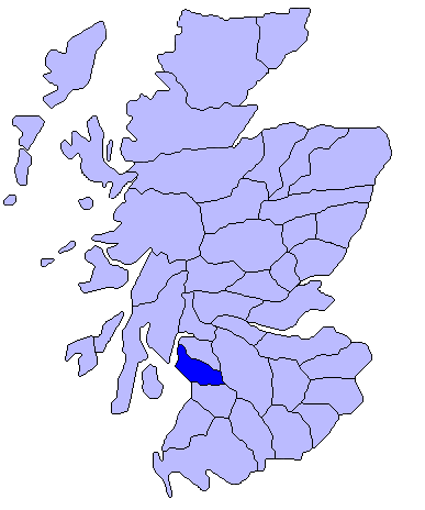
Saltcoats Campbell is located at Grid Ref: NS2641 (Lat: 55.631339, Lng: -4.7655194)

Unitary Authority: North Ayrshire

Police Authority: Ayrshire

What 3 Words

///innocence.spending.variation. Near Stevenston, North Ayrshire

Nearby Locations

Saltcoats Campbell

Related Wikis

Stevenston Moorpark railway station

Stevenston Moorpark railway station was a railway station serving the town of Stevenston, North Ayrshire, Scotland as part of the Lanarkshire and Ayrshire...

Auchenharvie

Auchenharvie is an area of Stevenston, North Ayrshire in Scotland. There are therefore several local institutions, organizations and businesses that use...

Cunninghame

Cunninghame (Scottish Gaelic: Coineagan) is a former comital district of Scotland and also a district of the Strathclyde Region from 1975 to 1996. ��2...

Stevenston railway station

Stevenston railway station is a railway station serving the town of Stevenston, North Ayrshire, Scotland. The station is managed by ScotRail and is owned...

Nearby Amenities

Located within 500m of 55.631339,-4.7655194
Turning Circle
Lat/Long: 55.6328507/-4.7631859
Turning Circle
Lat/Long: 55.633943/-4.7638967
Turning Circle
Lat/Long: 55.6325999/-4.7615075
Turning Circle
Lat/Long: 55.633486/-4.7671941
Turning Circle
Lat/Long: 55.6330346/-4.7679148
Turning Circle
Lat/Long: 55.6327782/-4.7654467
Turning Circle
Lat/Long: 55.632746/-4.7642474
The data included in this document is from www.openstreetmap.org. The data is made available under ODbL.

Have you been to Saltcoats Campbell?

Leave your review of Saltcoats Campbell below (or comments, questions and feedback).