Salford
Settlement in Oxfordshire West Oxfordshire
England
Salford

Salford is a small village located in the county of Oxfordshire, in the southern part of England. Nestled in the Cherwell Valley, Salford is surrounded by picturesque countryside, offering residents and visitors a serene and tranquil setting. The village is situated approximately 5 miles southeast of the market town of Banbury and 10 miles northwest of the city of Oxford.
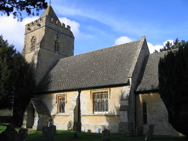
Salford is known for its rich history, with records dating back to the Domesday Book of 1086. The village features a charming mix of architectural styles, showcasing its heritage. The Church of St. Mary the Virgin, a Grade II listed building, stands as a prominent landmark in Salford, displaying stunning medieval craftsmanship.
While Salford may be small in size, it offers a close-knit and friendly community. The village has a primary school, providing education for local children, and a village hall that hosts various social events and activities throughout the year. Salford also boasts a traditional pub, which serves as a popular gathering spot for locals and visitors alike.
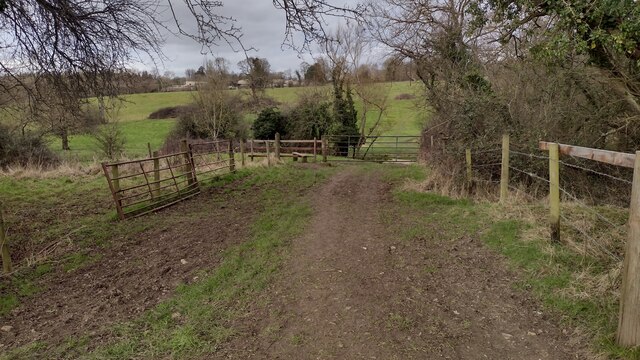
The surrounding countryside provides ample opportunities for outdoor activities, such as walking, cycling, and horse riding. Salford is also in close proximity to several nature reserves, such as the Otmoor RSPB Reserve and the Oxfordshire Way, offering nature enthusiasts and wildlife lovers a chance to explore and appreciate the natural beauty of the area.
Overall, Salford, Oxfordshire, is a quaint village that offers a peaceful and idyllic setting, with a rich history and a strong sense of community.
If you have any feedback on the listing, please let us know in the comments section below.
Salford Images
Images are sourced within 2km of 51.949556/-1.5801051 or Grid Reference SP2827. Thanks to Geograph Open Source API. All images are credited.


![Rollright Brook north of Swailsford Bridge A small tributary of the River Evenlode which drains a catchment to the west of Chipping Norton.
The same view as <a href="https://www.geograph.org.uk/photo/1713915">SP2826 : Swailsford Bridge [2]</a> on a much colder day.](https://s0.geograph.org.uk/geophotos/07/36/30/7363004_264a5486.jpg)


Salford is located at Grid Ref: SP2827 (Lat: 51.949556, Lng: -1.5801051)
Administrative County: Oxfordshire
District: West Oxfordshire
Police Authority: Thames Valley
What 3 Words
///tightrope.stale.glimmers. Near Chipping Norton, Oxfordshire
Nearby Locations
Related Wikis
Salford, Oxfordshire
Salford is a village and civil parish about 1+1⁄2 miles (2.4 km) west of Chipping Norton, Oxfordshire. The 2011 Census recorded the parish's population...
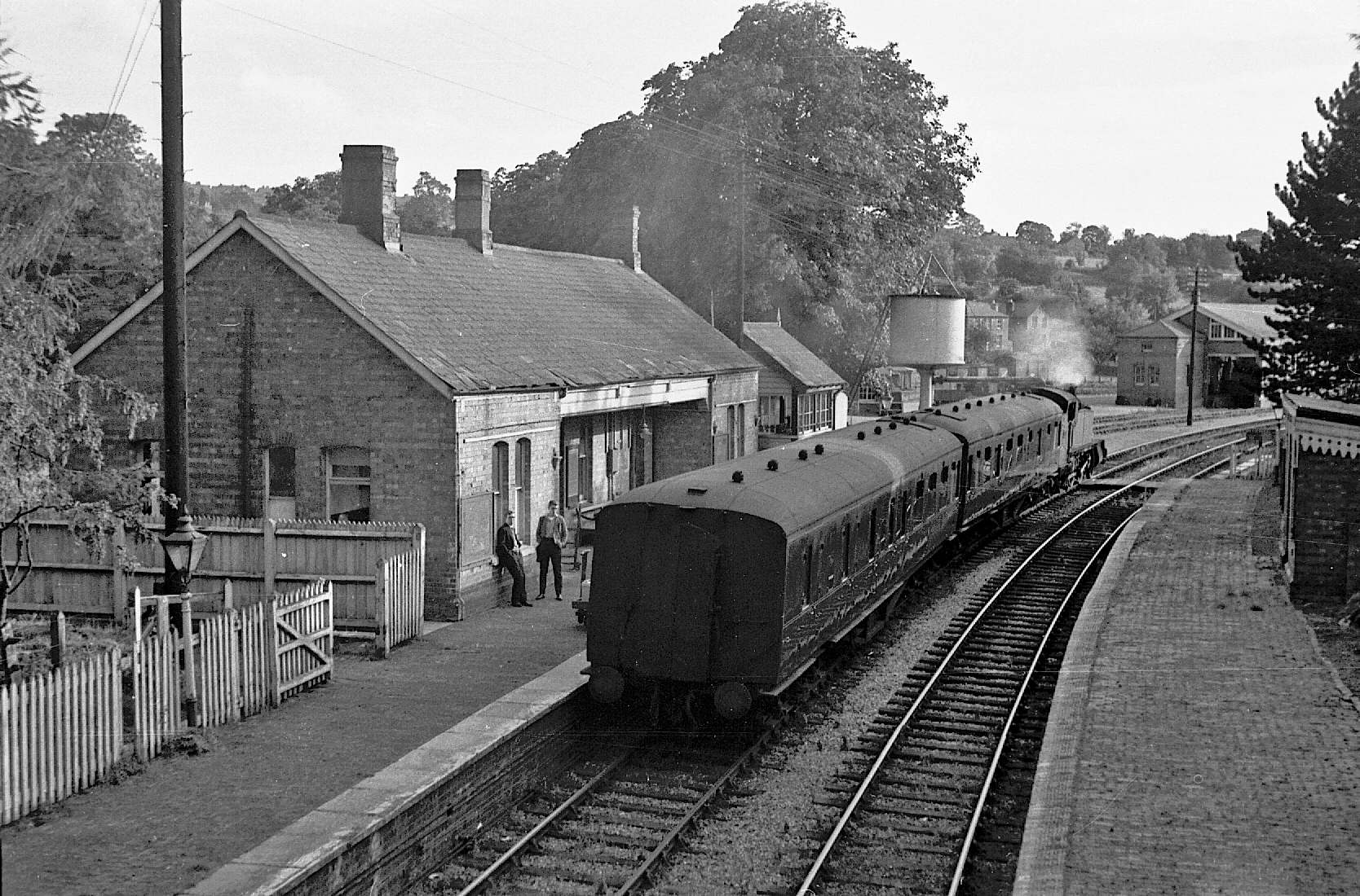
Chipping Norton railway station
Chipping Norton railway station served the town of Chipping Norton, Oxfordshire, England. The station had two platforms and a signal box. == History... ==

Bliss Tweed Mill
Bliss Tweed Mill is a former mill for the manufacture of tweed. It is located on the edge of Chipping Norton, Oxfordshire, United Kingdom. It became a...

Little Rollright
Little Rollright is a hamlet and former civil parish, now in the parish of Rollright, in the West Oxfordshire district, in the county of Oxfordshire, England...
Nearby Amenities
Located within 500m of 51.949556,-1.5801051Have you been to Salford?
Leave your review of Salford below (or comments, questions and feedback).