Salford
Settlement in Yorkshire
England
Salford
Salford is a town located in the metropolitan borough of City of Salford, Greater Manchester, England. It is situated on the banks of the River Irwell, just west of Manchester city centre. Salford is historically a part of Lancashire, but has been incorporated into Greater Manchester since 1974.
The town has a population of approximately 250,000 people, making it one of the largest settlements in the area. Salford has a rich industrial heritage, and was a major center for cotton and silk spinning during the Industrial Revolution. Today, it is known for its thriving arts and media scene, with the BBC having a significant presence in the area.
Salford Quays, located on the waterfront, is a major redevelopment project that has transformed the area into a cultural and leisure destination. It is home to numerous attractions, including The Lowry arts center, which houses theatres, galleries, and performance spaces. The area also boasts MediaCityUK, a major media hub where television shows like Coronation Street and BBC Breakfast are produced.
Salford offers a range of amenities and facilities for residents and visitors alike. The town center features a variety of shops, restaurants, and entertainment venues, while the surrounding area offers plenty of green spaces and parks for outdoor activities. Salford is well-connected to the rest of Greater Manchester through a comprehensive public transportation system, including train and tram services.
Overall, Salford is a vibrant and culturally diverse town with a rich history and a promising future. Its blend of industrial heritage, arts scene, and modern developments make it an attractive destination for both residents and tourists.
If you have any feedback on the listing, please let us know in the comments section below.
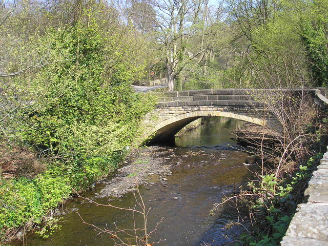
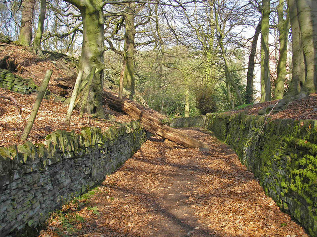
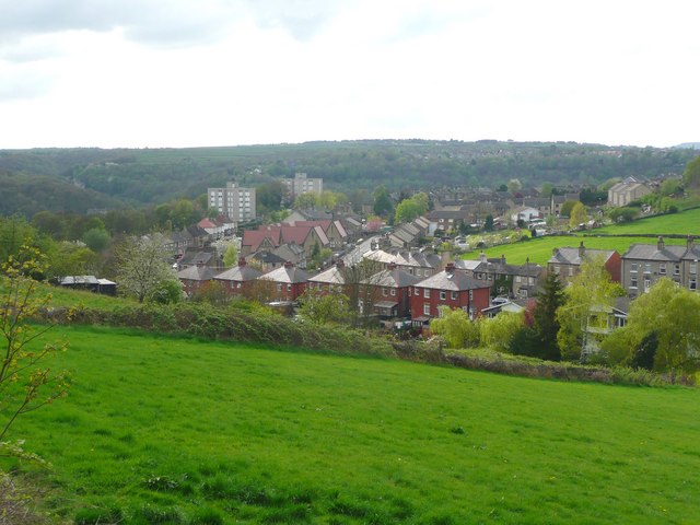
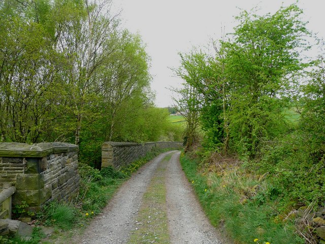
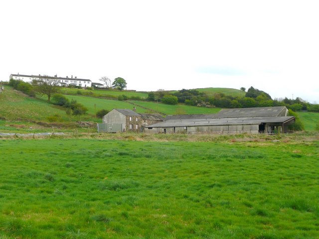
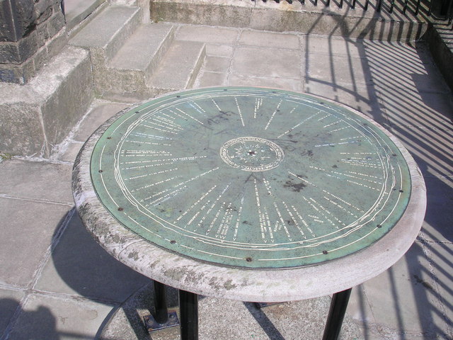
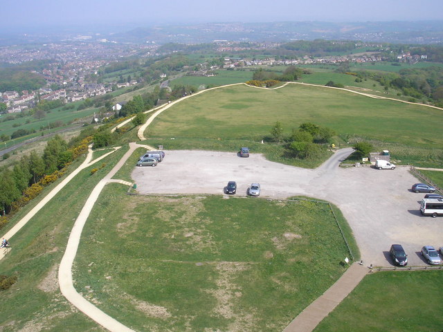
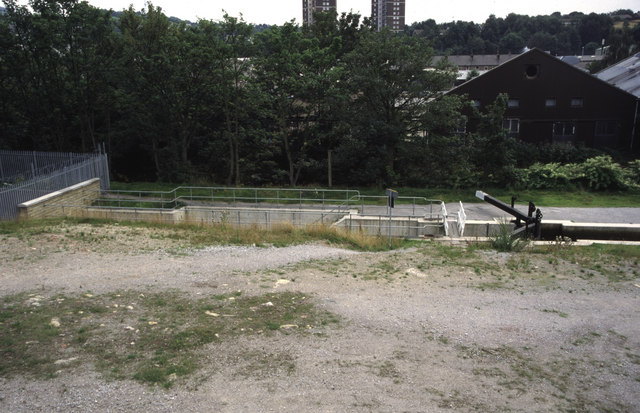
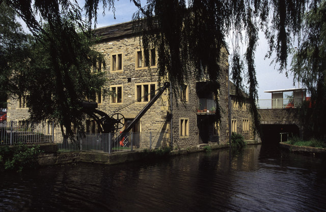
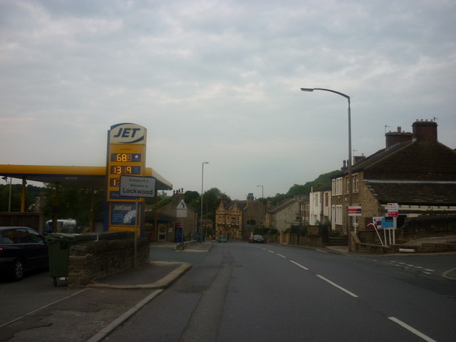
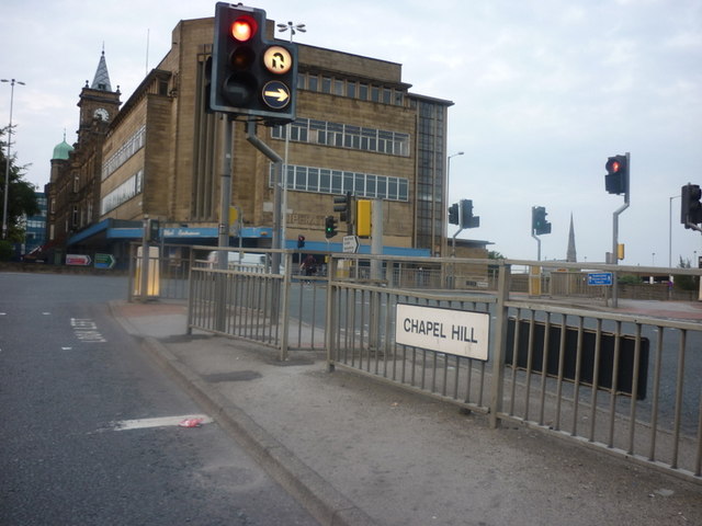
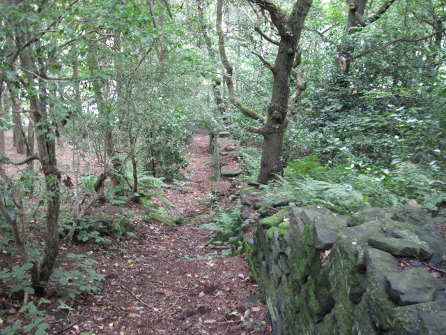
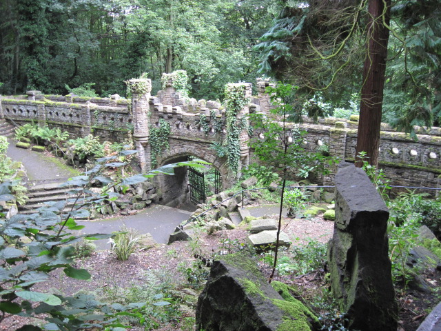
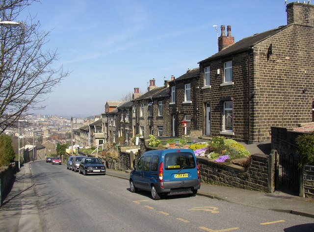
Salford Images
Images are sourced within 2km of 53.630445/-1.794309 or Grid Reference SE1314. Thanks to Geograph Open Source API. All images are credited.


Salford is located at Grid Ref: SE1314 (Lat: 53.630445, Lng: -1.794309)
Division: West Riding
Unitary Authority: Kirklees
Police Authority: West Yorkshire
What 3 Words
///clocks.units.swung. Near Huddersfield, West Yorkshire
Nearby Locations
Related Wikis

Lockwood Town Hall
Lockwood Town Hall is a former municipal building in Swan Lane in Lockwood, Huddersfield, West Yorkshire, England. The former town hall, which is currently...
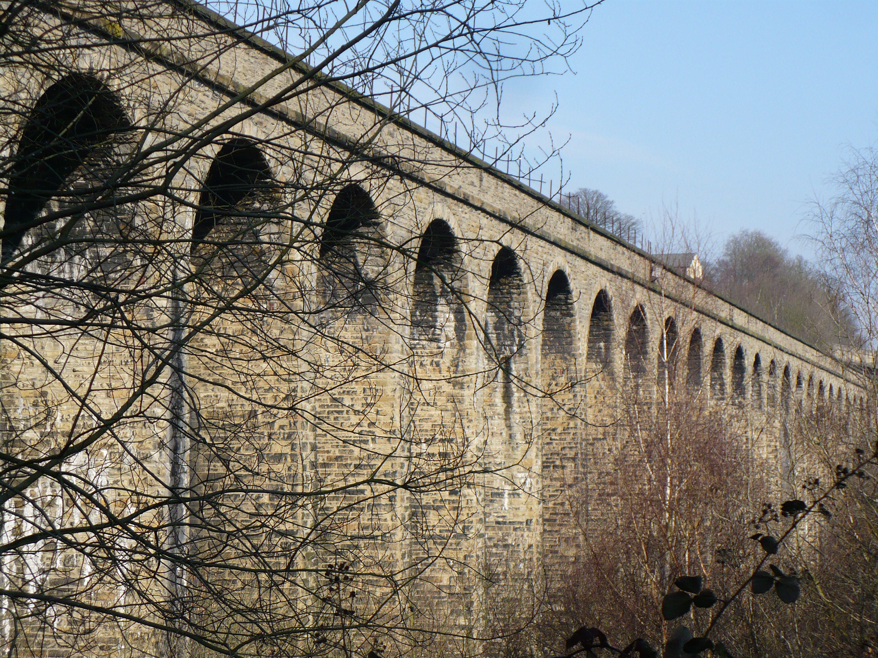
Lockwood Viaduct
Lockwood Viaduct is a stone railway bridge that carries the Huddersfield to Penistone Line across the River Holme, in West Yorkshire, England. The viaduct...
Taylor Hill, Huddersfield
Taylor Hill is a semi rural/industrial urban village of the town of Huddersfield in the English county of West Yorkshire. It lies on a hill above the A616...

Lockwood, Huddersfield
Lockwood is an area of Huddersfield, in the Metropolitan Borough of Kirklees, West Yorkshire, England. It is 0.9 miles (1.4 km) to the southwest of Huddersfield...
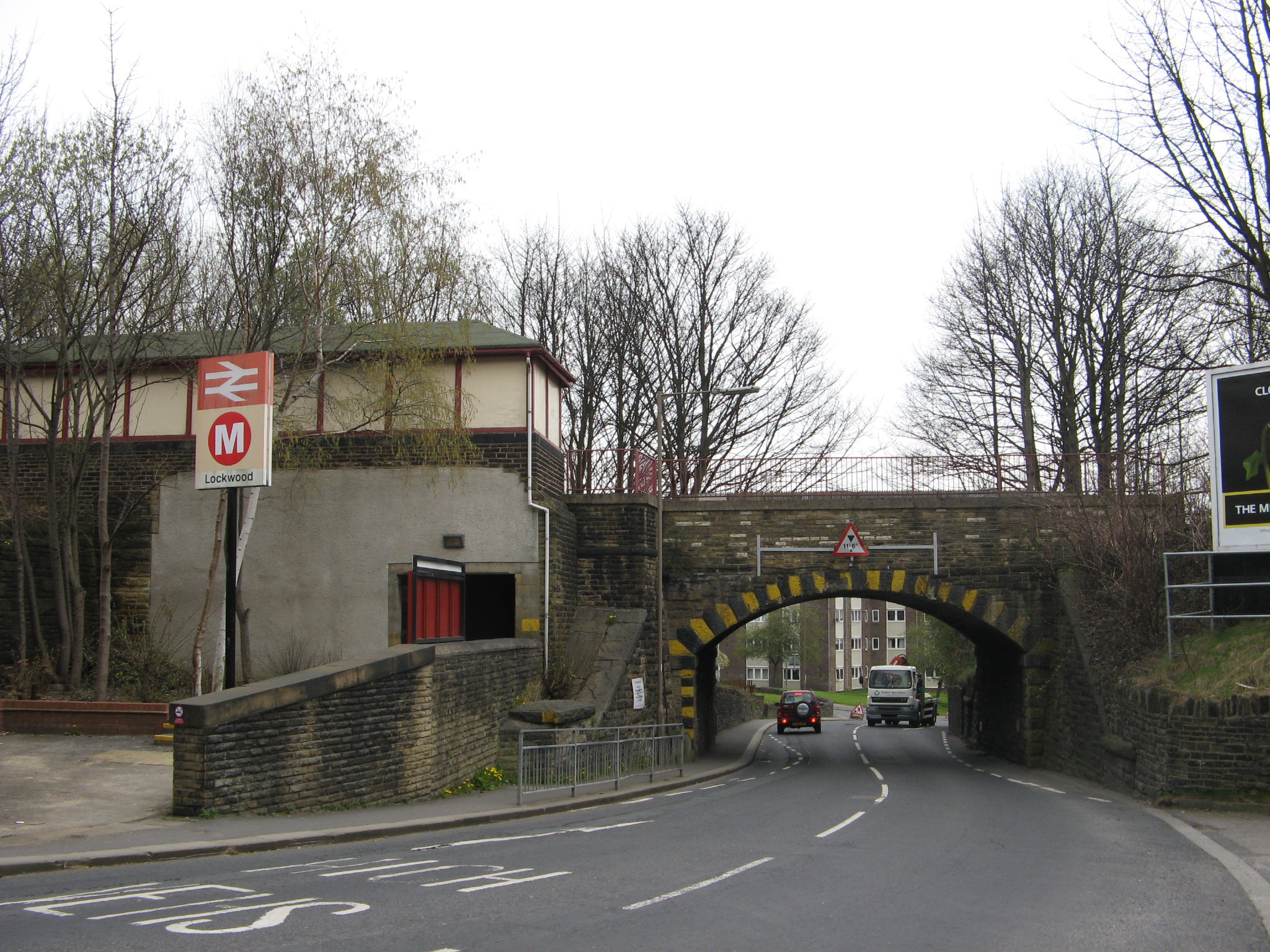
Lockwood railway station
Lockwood railway station is a railway station in Huddersfield, England. It is situated 1.5 miles (2 km) south of Huddersfield station on the Penistone...

Newsome Academy
Newsome Academy (formerly Newsome High School and Newsome High School & Sports College) is a co-educational secondary school located in Newsome (near Huddersfield...

Newsome
Newsome is a village situated approximately 1 mile south of Huddersfield, West Yorkshire, England. It is in the Metropolitan Borough of Kirklees. The village...
Woodfield railway station (Yorkshire)
Woodfield railway station served the area of Lockwood, Kirklees, England, in 1874 on the Meltham branch line. == History == The station was opened on 1...
Nearby Amenities
Located within 500m of 53.630445,-1.794309Have you been to Salford?
Leave your review of Salford below (or comments, questions and feedback).