An Saìlean
Settlement in Argyllshire
Scotland
An Saìlean
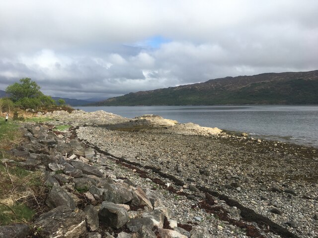
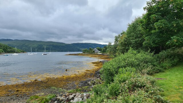
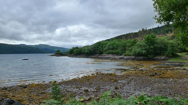
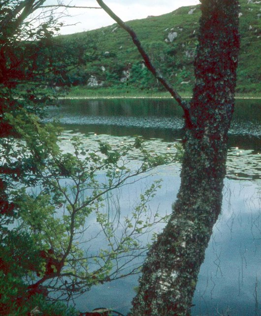
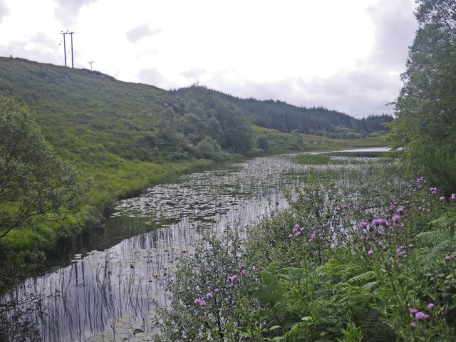
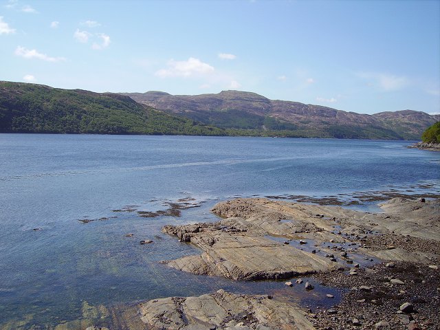
An Saìlean, also known as Ardfern, is a picturesque village located in Argyllshire, Scotland. Situated on the western coast of the Scottish Highlands, this charming settlement is nestled on the shores of Loch Craignish.
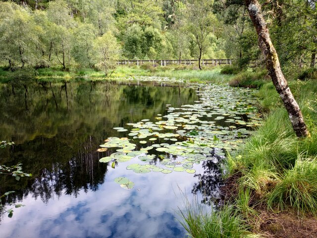
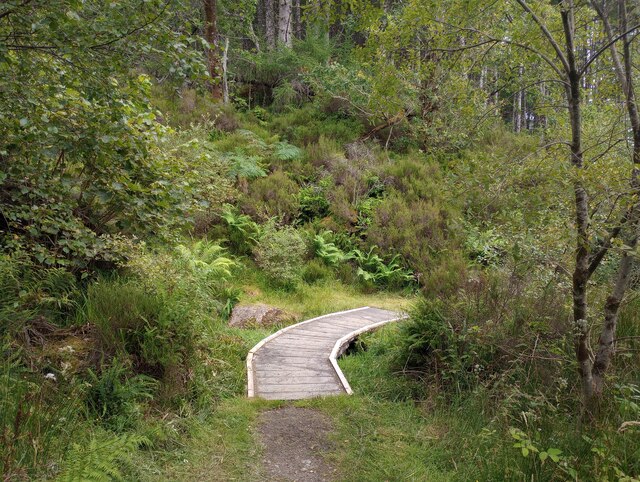
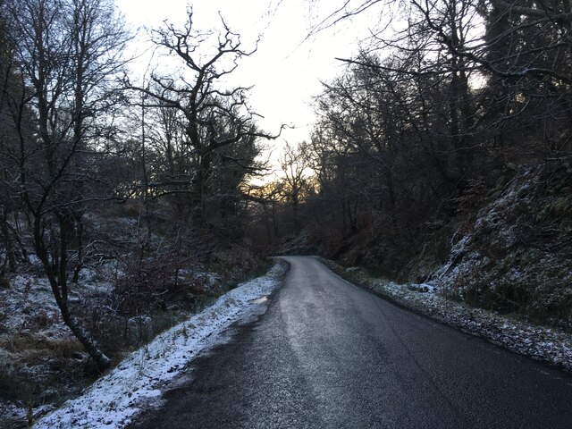
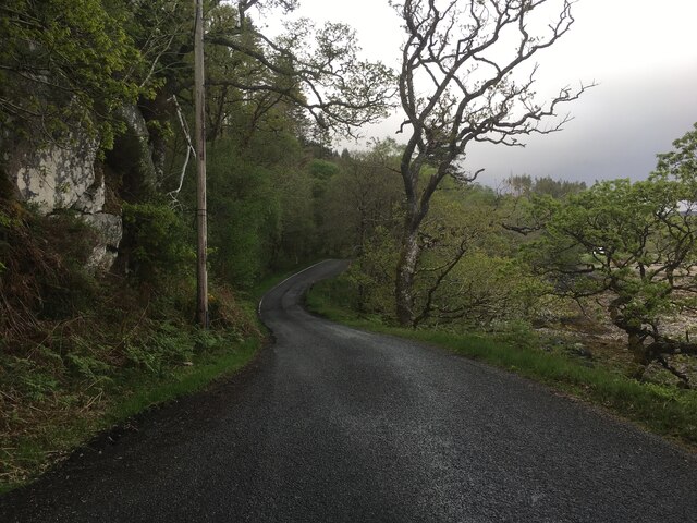
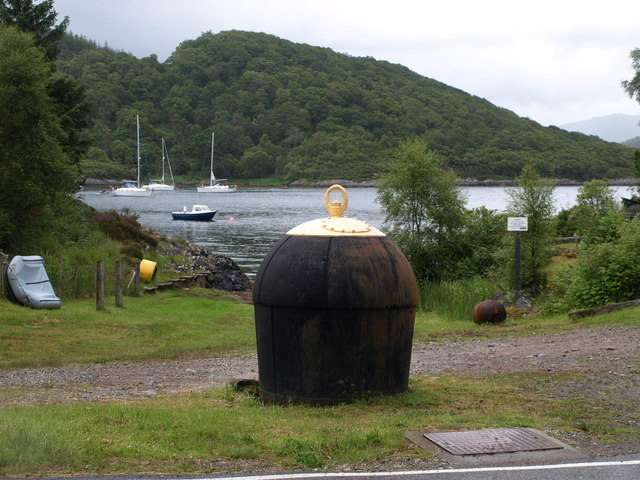
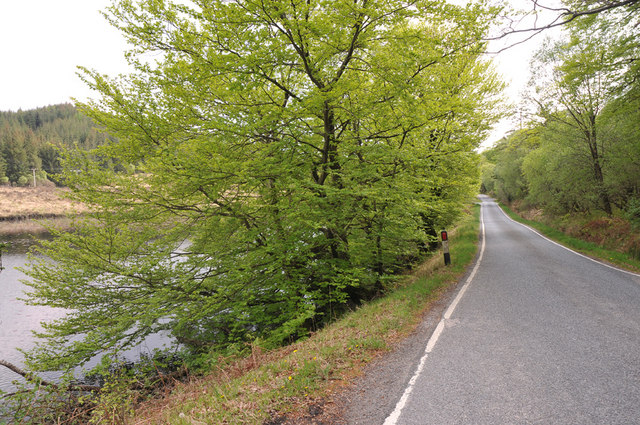
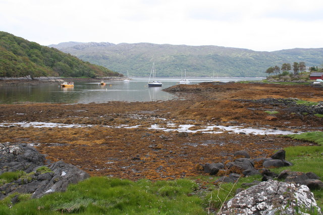
An Saìlean is renowned for its stunning natural beauty and tranquil atmosphere. Surrounded by lush green hills and with breathtaking views of the loch, it offers a peaceful retreat for visitors seeking a break from the hustle and bustle of city life. The village is a popular destination for outdoor enthusiasts, with ample opportunities for hiking, cycling, and boating in the surrounding area.
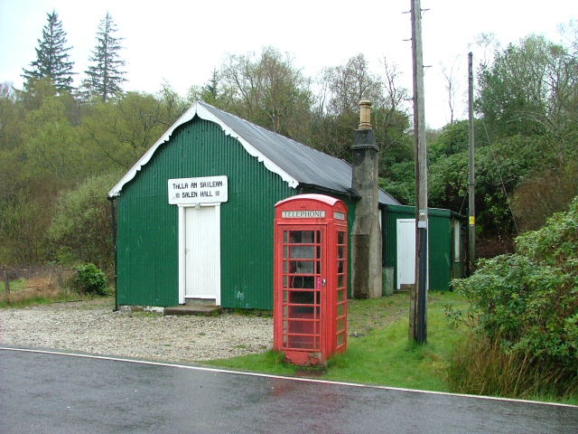
In terms of amenities, An Saìlean has a range of facilities to cater to the needs of residents and visitors alike. There is a small selection of shops, including a grocery store and a post office, providing essential supplies. Additionally, the village boasts a welcoming pub and a locally renowned seafood restaurant, offering the chance to sample fresh, locally caught delicacies.
For those interested in history and culture, An Saìlean is home to several notable landmarks. The 18th-century Kilmory Castle, with its striking architecture and stunning gardens, is a must-visit attraction. The nearby Kilmore Church, dating back to the 13th century, provides a glimpse into the area's rich religious heritage.
Overall, An Saìlean is a hidden gem in Argyllshire, offering visitors a chance to experience the beauty of the Scottish Highlands in a serene and idyllic setting.
If you have any feedback on the listing, please let us know in the comments section below.
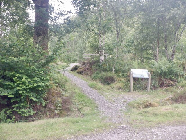
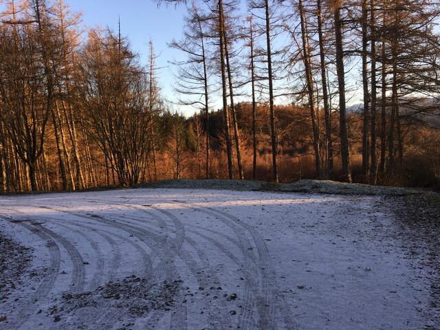
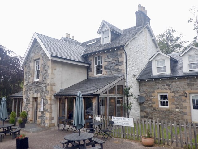
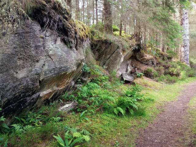
An Saìlean Images
Images are sourced within 2km of 56.717192/-5.7780165 or Grid Reference NM6864. Thanks to Geograph Open Source API. All images are credited.
An Saìlean is located at Grid Ref: NM6864 (Lat: 56.717192, Lng: -5.7780165)
Unitary Authority: Highland
Police Authority: Highlands and Islands
Also known as: Salen
What 3 Words
///springing.recorders.colleague. Near Drimnin, Highland
Nearby Locations
Related Wikis
Salen, Ardnamurchan
Salen (Scottish Gaelic: An t-Sàilein) is a coastal village on the Ardnamurchan peninsula, overlooking Salen Bay which is an inlet of the sea loch, Loch...
Loch Sunart
Loch Sunart (Scottish Gaelic Loch Shuaineart) is a sea loch on the west coast of Scotland. Loch Sunart is bounded to the north by the Sunart district of...

Ardshealach
Ardshealach (Scottish Gaelic:) is a small hamlet located close to the south west shore of Loch Shiel in Sunart, Lochaber, Highland, less than one mile...

Acharacle
Acharacle (, Scottish Gaelic: Àth Tharracail) is a village in Ardnamurchan, Lochaber, within the county of Argyll. It is in the Highland Council area of...

Resipole
Resipole (Scottish Gaelic: Rèiseapol) is a settlement on the Ardnamurchan peninsula in Highland, Scotland. Resipole is located on the A861 road on the...

Garmoran
Garmoran is an area of western Scotland. It lies at the south-western edge of the present Highland Region. It includes Knoydart, Morar, Moidart, Ardnamurchan...
Claish Moss
Claish Moss is an upland blanket bog on the south side of Loch Shiel, in the Sunart district of the west highlands of Scotland The Moss is designated as...

Kentra
Kentra is a hamlet overlooking the east coast of Kentra Bay, on the north east end of the Ardnamurchan peninsula near Acharacle, Scottish Highlands. It...
Nearby Amenities
Located within 500m of 56.717192,-5.7780165Have you been to An Saìlean?
Leave your review of An Saìlean below (or comments, questions and feedback).