Blackstone
Settlement in Sussex Horsham
England
Blackstone
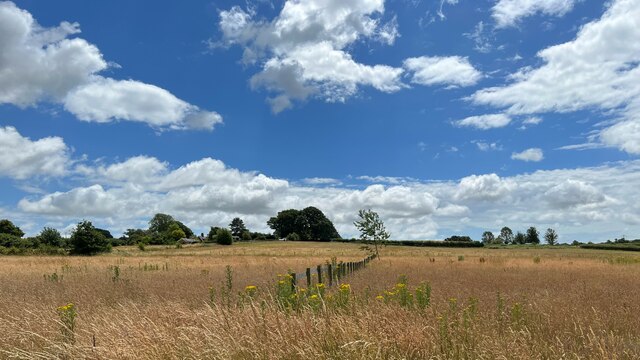
Blackstone is a charming village located in the county of Sussex, England. Situated in the South Downs National Park, it boasts picturesque scenery and a peaceful atmosphere. With a population of around 500 residents, it offers a close-knit community and a tranquil living environment.
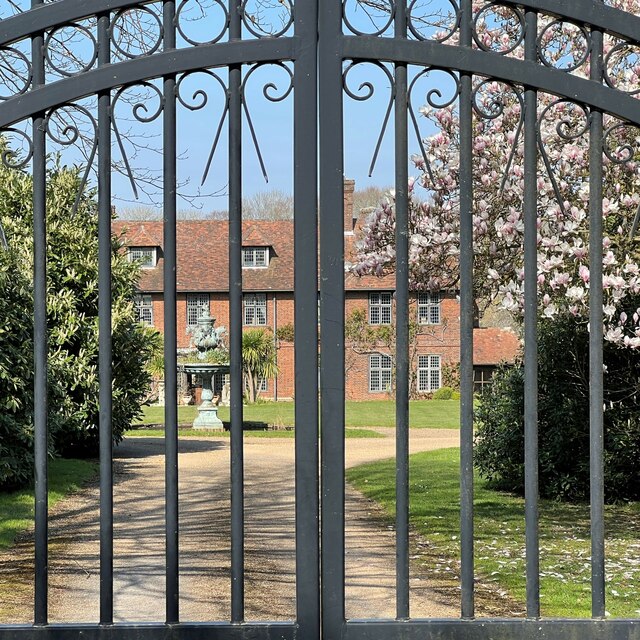
The village is renowned for its rich history, dating back to the Roman era. Evidence of Roman occupation can still be seen in the form of ancient roadways and artifacts unearthed in the area. Today, Blackstone retains its historical charm, with traditional thatched cottages and historic buildings lining its streets.
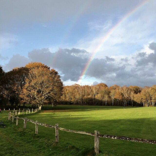
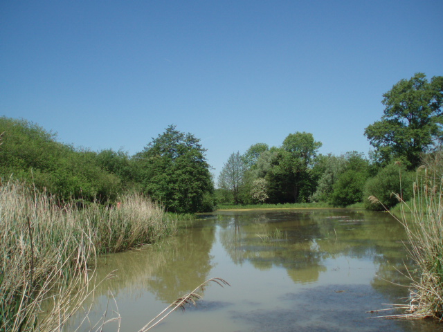
Nature enthusiasts will find plenty to explore in Blackstone. The village is surrounded by rolling hills and lush green landscapes, making it an ideal destination for hikers and outdoor enthusiasts. The South Downs Way, a popular long-distance trail, passes through the village, offering breathtaking views of the surrounding countryside.
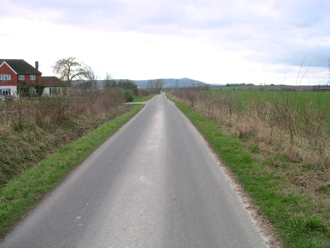
Blackstone is well-served by amenities, including a local pub, village hall, and a primary school. It also benefits from good transport links, with regular bus services connecting it to nearby towns and cities. The village hosts various community events throughout the year, fostering a strong sense of community spirit among its residents.
Overall, Blackstone, Sussex offers a peaceful and idyllic setting for those seeking a tranquil village lifestyle amidst stunning natural beauty. With its rich history, stunning landscapes, and welcoming community, it is a place that truly captures the essence of rural England.
If you have any feedback on the listing, please let us know in the comments section below.
Blackstone Images
Images are sourced within 2km of 50.930319/-0.235706 or Grid Reference TQ2416. Thanks to Geograph Open Source API. All images are credited.


Blackstone is located at Grid Ref: TQ2416 (Lat: 50.930319, Lng: -0.235706)
Administrative County: West Sussex
District: Horsham
Police Authority: Sussex
What 3 Words
///duplicity.flashing.bands. Near Henfield, West Sussex
Nearby Locations
Related Wikis

Blackstone, West Sussex
Blackstone is a hamlet in the civil parish of Woodmancote and the Horsham district of West Sussex, England. Blackstone is significant for its listed...

Woodmancote, Horsham District
Woodmancote is a village and civil parish in the Horsham District of West Sussex, England. The village is 1 mile (1.5 km) southeast of Henfield on the...
Sussex Greensand Way
The Sussex Greensand Way is a Roman road that runs east-west linking the London to Lewes Way at Barcombe Mills to Stane Street at Hardham. The road, which...

Albourne
Albourne is a village and civil parish in the Mid Sussex district of West Sussex, England. It lies just off the A23 road three miles (4.8 km) east of Henfield...

St Peter's Church, Henfield
St Peter's Church is a Church of England parish church in the large village of Henfield, West Sussex. Placed on the site of an 8th-century Saxon church...

Henfield
Henfield is a large village and civil parish in the Horsham District of West Sussex, England. It lies 41 miles (66 km) south of London, 12 miles (19 km...
Woods Mill
Woods Mill is a 19-hectare (47-acre) nature reserve south of Henfield in West Sussex. It is managed by the Sussex Wildlife Trust.This is the headquarters...

Sayers Common
Sayers Common is a village in the Mid Sussex District of West Sussex, England. With Hurstpierpoint it forms one of the Mid Sussex parishes. It is located...
Nearby Amenities
Located within 500m of 50.930319,-0.235706Have you been to Blackstone?
Leave your review of Blackstone below (or comments, questions and feedback).