Sageston
Settlement in Pembrokeshire
Wales
Sageston
Sageston is a small village located in the county of Pembrokeshire, Wales. Situated approximately 3 miles north of the town of Tenby, it is part of the rural community of St. Florence. With a population of around 500 residents, Sageston offers a tranquil and close-knit community atmosphere.
The village is characterized by its picturesque countryside surroundings, with rolling hills, farmland, and wooded areas. It boasts a peaceful and idyllic setting, making it an ideal destination for those seeking a quiet retreat. The nearby coast, with its stunning sandy beaches and rugged cliffs, is also easily accessible from Sageston.
Although primarily a residential area, Sageston is home to a few local businesses, including a convenience store, a post office, and a primary school. For more extensive shopping and amenities, residents often visit the nearby towns of Tenby or Pembroke.
The village is well connected to the rest of Pembrokeshire and beyond by road, with the A477 running close by, providing easy access to major towns and cities. Public transportation options are limited, with a few bus services connecting Sageston to neighboring villages and towns.
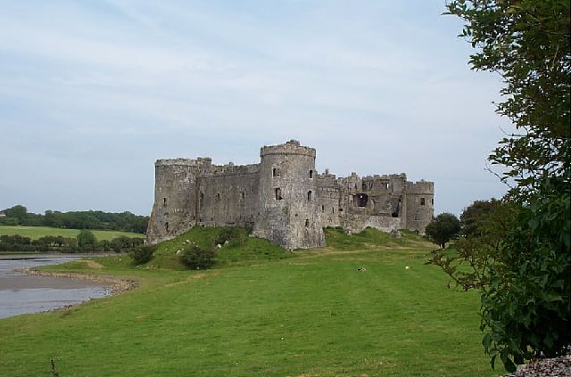
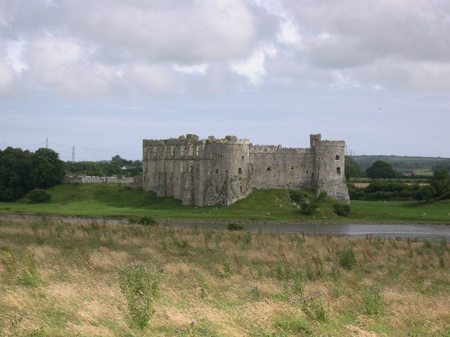
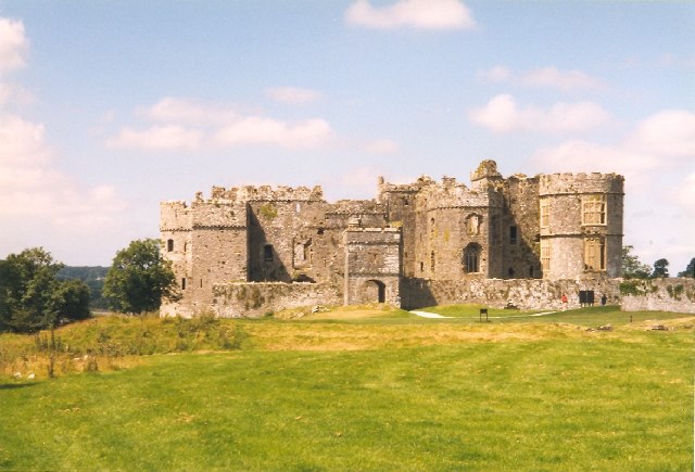
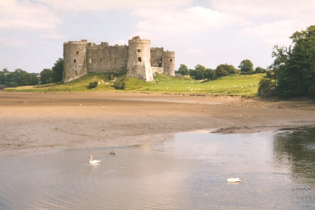
Sageston enjoys a rich history, with evidence of human settlement dating back to ancient times. The area is known for its archaeological sites, including burial mounds and stone circles. Additionally, the village is located near several historic landmarks, such as Carew Castle and the medieval town of Pembroke.
In conclusion, Sageston is a charming and peaceful village nestled within the beautiful countryside of Pembrokeshire. With its close-knit community and stunning natural surroundings, it offers residents and visitors a serene and picturesque place to call home.
If you have any feedback on the listing, please let us know in the comments section below.
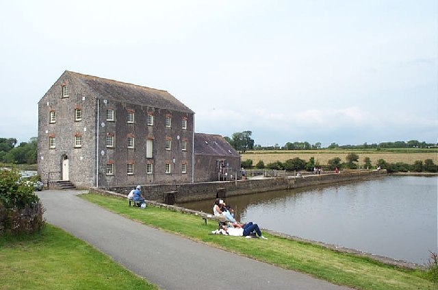
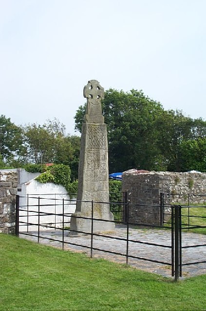
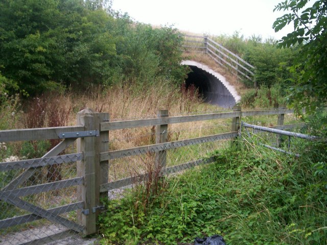
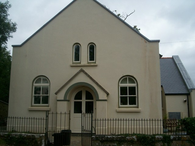
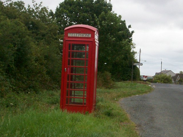
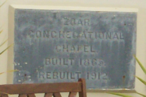
Sageston Images
Images are sourced within 2km of 51.693292/-4.814928 or Grid Reference SN0503. Thanks to Geograph Open Source API. All images are credited.


Sageston is located at Grid Ref: SN0503 (Lat: 51.693292, Lng: -4.814928)
Unitary Authority: Pembrokeshire
Police Authority: Dyfed Powys
What 3 Words
///something.brushing.intend. Near Jeffreyston, Pembrokeshire
Nearby Locations
Related Wikis

RAF Carew Cheriton
Royal Air Force Carew Cheriton, or more simply RAF Carew Cheriton, is a former Royal Air Force station located near Carew, Pembrokeshire. It was situated...

Old Mortuary Chapel, Carew
Old Mortuary Chapel is a medieval Grade I listed building in St Mary's churchyard, Carew, Pembrokeshire, Wales. == Structure == The building has two storeys...
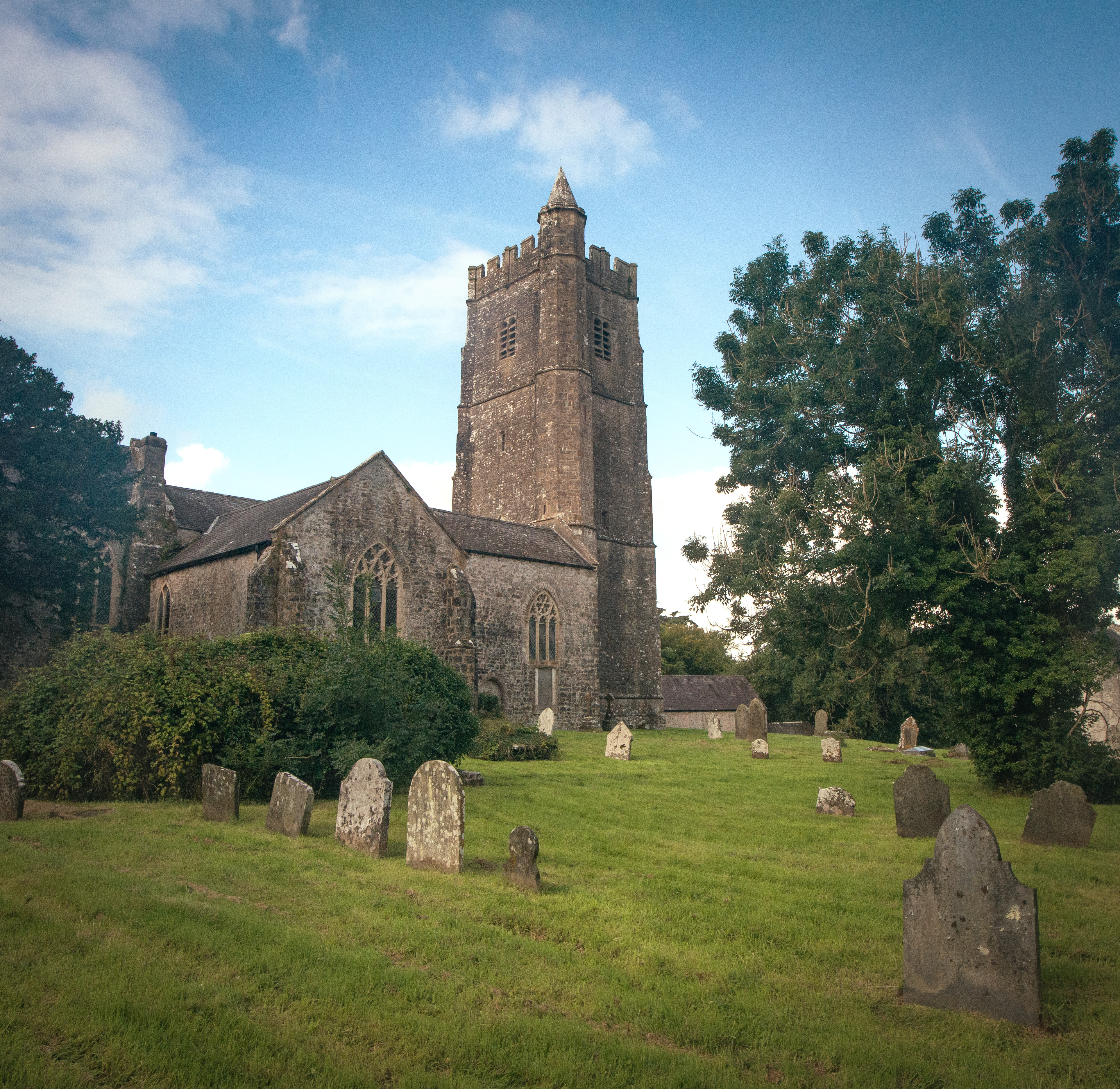
St Mary's Church, Carew
St Mary's Church, Carew, is the parish church of Carew, Pembrokeshire, Wales and a Grade I listed building. Lewis's Topographical Dictionary of Wales states...

Carew Cross
Carew Cross (Welsh: Croes Caeriw) is an 11th-century Grade I listed monument in the village of Carew, Pembrokeshire, Wales. == History == The cross is...
Nearby Amenities
Located within 500m of 51.693292,-4.814928Have you been to Sageston?
Leave your review of Sageston below (or comments, questions and feedback).