Saffron's Cross

Settlement in Herefordshire

England

Saffron's Cross

Brockington Hall Golf Club The tea-rooms at the entrance to the golf club.
Brockington Hall Golf Club Credit: Eirian Evans

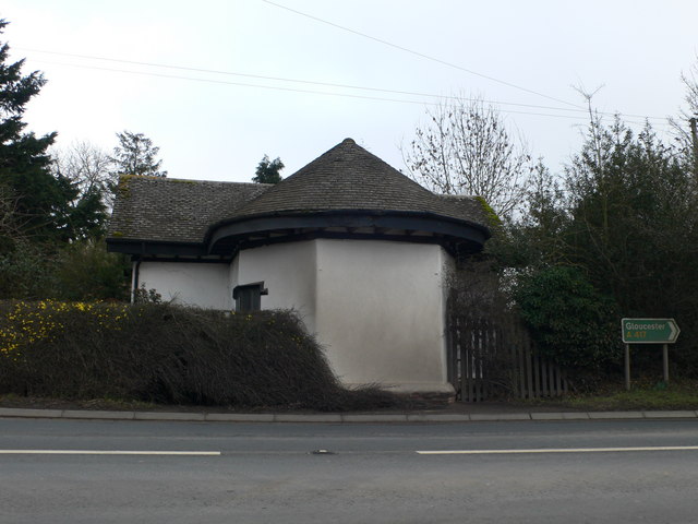
Saffron's Cross is a charming village located in the county of Herefordshire, England. Situated in the picturesque countryside, it is known for its idyllic setting and peaceful atmosphere. The village is named after a historical cross that once stood at its center, serving as a meeting point for locals and travelers alike.

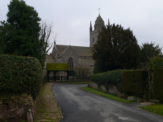
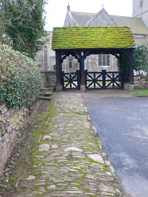
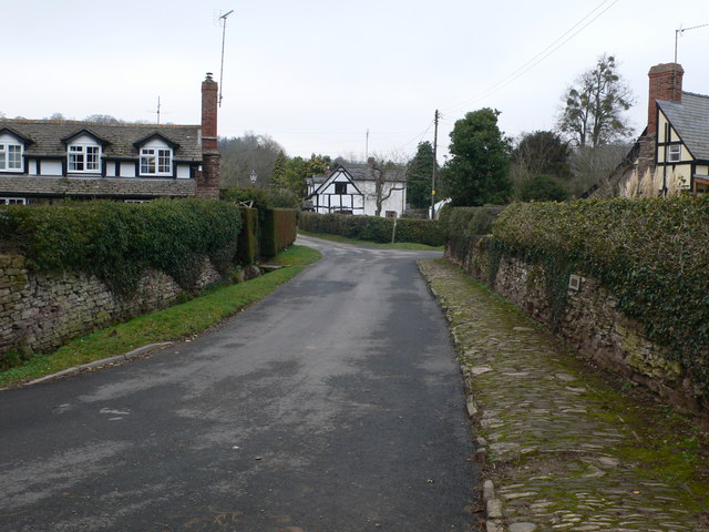
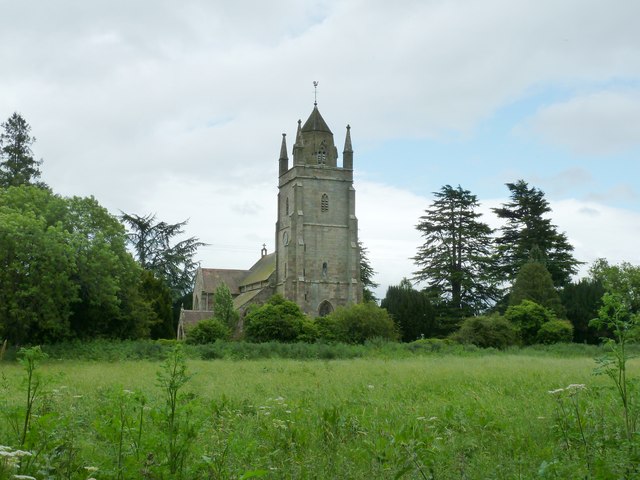
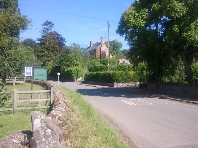
The architecture of Saffron's Cross reflects its rich history, with many traditional timber-framed houses lining its narrow streets. The village is surrounded by lush green fields and rolling hills, providing breathtaking views of the countryside. The tranquil atmosphere and natural beauty make it a popular destination for those seeking a retreat from the hustle and bustle of city life.

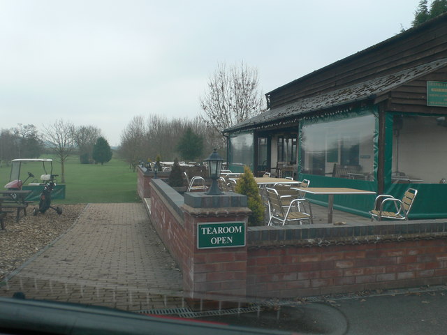
Saffron's Cross is home to a close-knit community, with a small population of friendly and welcoming residents. The village boasts a charming local pub, where locals and visitors can enjoy traditional English meals and drinks. Additionally, there is a small village shop that caters to the daily needs of the residents, providing essential groceries and supplies.

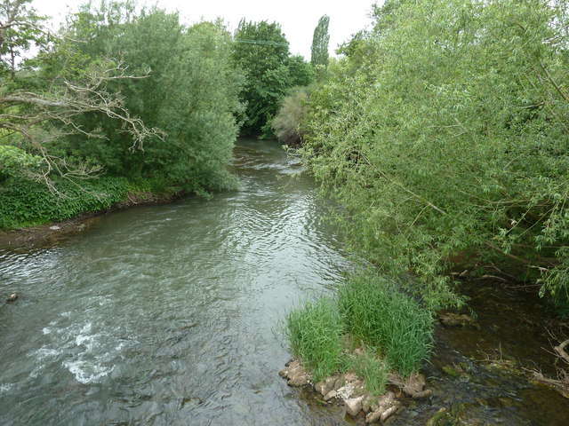
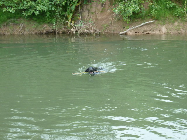
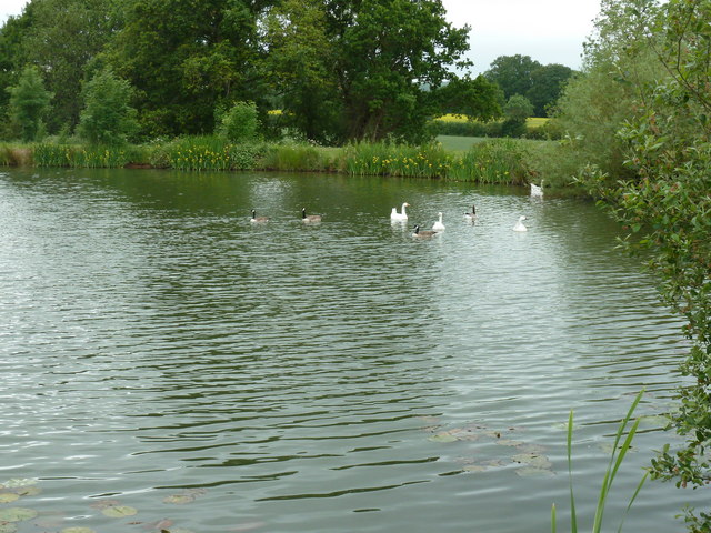
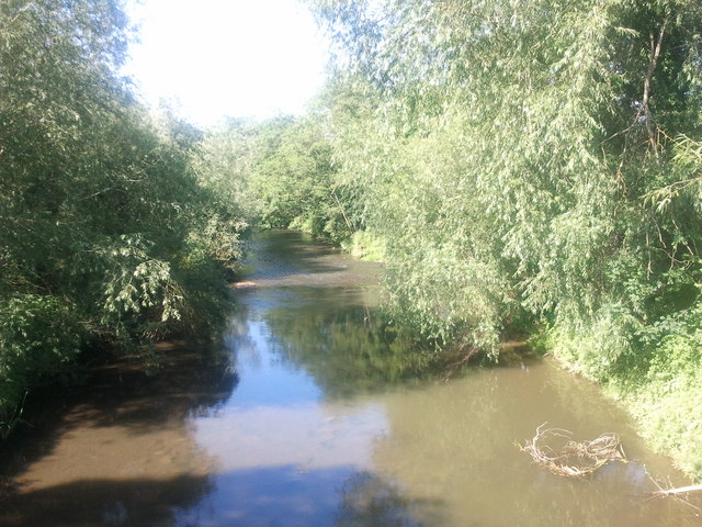
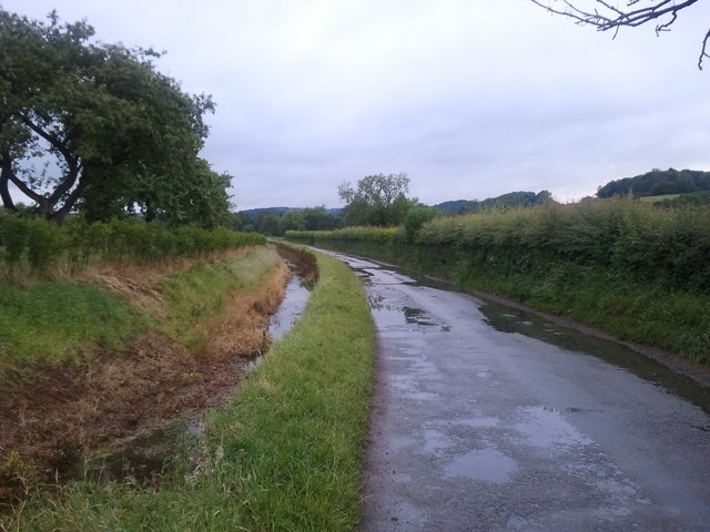
Nature enthusiasts will find plenty to explore in the surrounding area, as Saffron's Cross is nestled within the Herefordshire countryside. Hiking trails and footpaths crisscross the landscape, offering opportunities for leisurely strolls or more challenging hikes. The nearby River Wye also provides opportunities for fishing and boating.

Overall, Saffron's Cross is a delightful village that offers a peaceful and picturesque retreat for both residents and visitors. Its rich history, stunning natural surroundings, and friendly community make it a highly sought-after destination in Herefordshire.

If you have any feedback on the listing, please let us know in the comments section below.

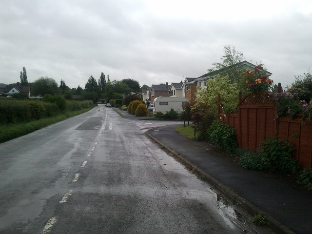
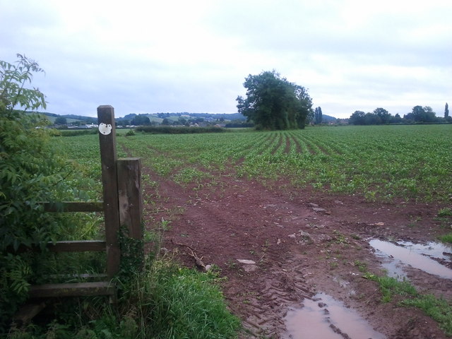
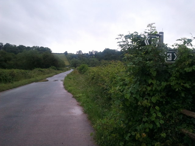
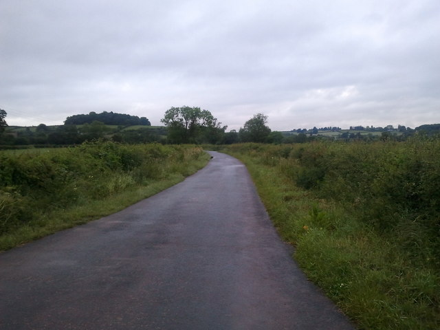
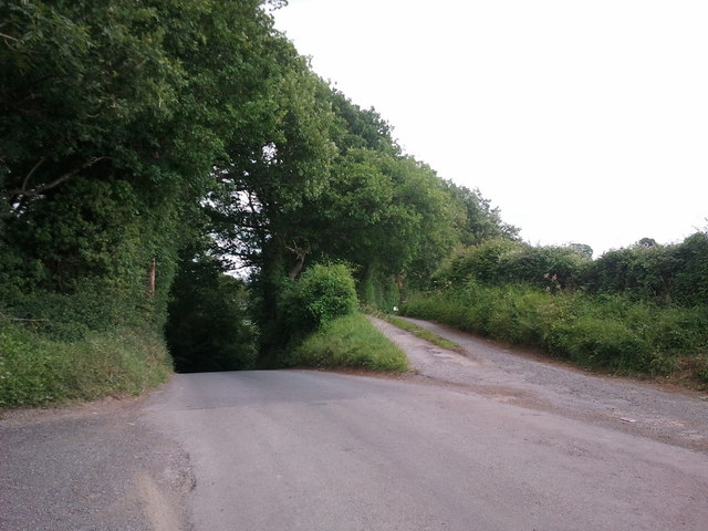
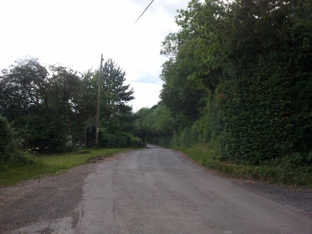
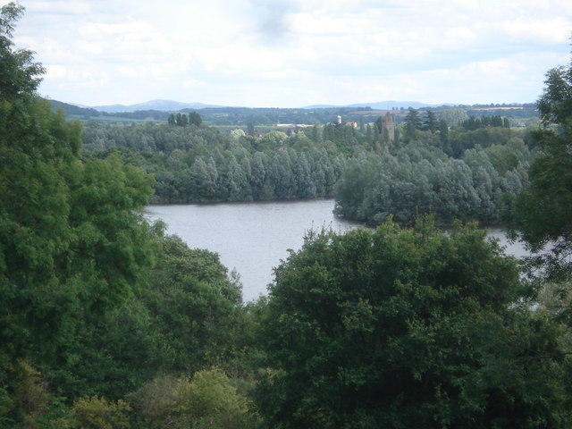
Saffron's Cross Images

Images are sourced within 2km of 52.155351/-2.6737906 or Grid Reference SO5451. Thanks to Geograph Open Source API. All images are credited.

Brockington Hall Golf Club The tea-rooms at the entrance to the golf club.
Brockington Hall Golf Club
The tea-rooms at the entrance to the golf club.
St Michael & All Angels, Bodenham The parish church of St Michael and All Angels at Bodenham is set in a beautiful location beside the peaceful River Lugg. The church is primarily 14th century, in the Decorated Gothic style. The church consists of a chancel, a 3-bay nave with clerestory, south and north aisles, and a solid west tower on a square plan topped by a truncated lantern spire.
St Michael & All Angels, Bodenham
The parish church of St Michael and All Angels at Bodenham is set in a beautiful location beside the peaceful River Lugg. The church is primarily 14th century, in the Decorated Gothic style. The church consists of a chancel, a 3-bay nave with clerestory, south and north aisles, and a solid west tower on a square plan topped by a truncated lantern spire.
Path to St Michael's  Ancient stone pavement leading to St Michael's & All Angels, Bodenham
Path to St Michael's
Ancient stone pavement leading to St Michael's & All Angels, Bodenham
Bodenham, Church Lane Looking back towards the village from the church.
Bodenham, Church Lane
Looking back towards the village from the church.
Former toll house on the A417 near Saffron's Cross
St Michael's and All Angels church Bodenham
River Lugg at Bodenham
Doggy paddling in the River Lugg
Fishing lake near Little Berrington
River Lugg viewed from Bodenham Bridge
House at Bodenham, viewed from the bridge
Lane and drain at Bodenham, looking west
Houses in Bodenham, looking east towards England's Gate
Very wet public footpath near Bodenham
Footpath crossing lane, near Bodenham
Lane near Bodenham
Lane near Bodenham
Steep hill to the left, bridleway to the right
Lane to Marden
Lane to Marden
Show me another place!

Saffron's Cross is located at Grid Ref: SO5451 (Lat: 52.155351, Lng: -2.6737906)

Unitary Authority: County of Herefordshire

Police Authority: West Mercia

What 3 Words

///supported.yarn.lamp. Near Bodenham, Herefordshire

Related Wikis

Bodenham

Bodenham is a village and civil parish in Herefordshire, England, and on a bend in the River Lugg, about seven miles south of Leominster. According to...

Hampton Court Castle

Hampton Court Castle, also known as Hampton Court, is a castellated country house in the English county of Herefordshire. The house is in the parish of...

Dinmore railway station (England)

Dinmore railway station served the villages of Bodenham and Hope under Dinmore, Herefordshire, England between 1853 and 1958. == History == The main line...
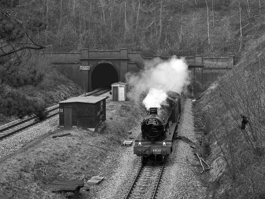
Dinmore Tunnel

Dinmore Tunnel is the name given to two railway tunnels located on the former Shrewsbury and Hereford Railway (S&HR) line between Hereford station and...

Nearby Amenities

Located within 500m of 52.155351,-2.6737906
Bus Stop
England's Gate
Naptan AtcoCode: 2090A107800
Naptan Bearing: SE
Naptan CommonName: England's Gate
Naptan Indicator: opp
Naptan Landmark: England's Gate
Naptan NaptanCode: heradmta
Naptan Street: N/K
Naptan Verified: no
Source: naptan_import
Lat/Long: 52.1574182/-2.6681266
Bus Stop
England's Gate
Naptan AtcoCode: 2090A18613
Naptan Bearing: N
Naptan BusStopType: CUS
Naptan CommonName: England's Gate
Naptan Indicator: adj
Naptan Landmark: England's Gate
Naptan NaptanCode: heragwpg
Naptan Street: N/K
Naptan Verified: no
Source: naptan_import
Lat/Long: 52.1571929/-2.668211
Doctors
Lat/Long: 52.1549656/-2.6678012
Power: pole
Lat/Long: 52.1556777/-2.6793042
Power: pole
Lat/Long: 52.1544335/-2.6790554
Power: pole
Lat/Long: 52.1577886/-2.6797399
Power: pole
Lat/Long: 52.1527859/-2.6786992
Power: pole
Lat/Long: 52.1566499/-2.6795039
Artist Name: Graeme Mitcheson
Artwork Type: statue
Tourism: artwork
Wikidata: Q59357553
Lat/Long: 52.1545433/-2.6674428
Give Way
Source: bing
Lat/Long: 52.158304/-2.6687416
Generator Method: photovoltaic
Generator Output Electricity: yes
Generator Source: solar
Generator Type: solar_photovoltaic_panel
Location: roof
Power: generator
Lat/Long: 52.1531401/-2.6693773
Generator Method: photovoltaic
Generator Output Electricity: yes
Generator Source: solar
Generator Type: solar_photovoltaic_panel
Location: roof
Power: generator
Lat/Long: 52.1565136/-2.6715083
Generator Method: photovoltaic
Generator Output Electricity: yes
Generator Source: solar
Generator Type: solar_photovoltaic_panel
Location: roof
Power: generator
Lat/Long: 52.1552605/-2.6689361
Give Way
Source: bing
Lat/Long: 52.1551667/-2.6672611
Give Way
Source: bing
Lat/Long: 52.1548393/-2.6672825
Give Way
Source: bing
Lat/Long: 52.1548623/-2.6680624
Give Way
Source: bing
Lat/Long: 52.1547776/-2.6680161
Public Bookcase
Bodenham Library
Booth: K6
Colour: red
Disused Amenity: telephone
Man Made: telephone_box
Public Bookcase Type: phone_box
Lat/Long: 52.1573859/-2.6681531
Power: pole
Lat/Long: 52.156846/-2.6797816
Power: pole
Lat/Long: 52.1561615/-2.6796475
Power: pole
Lat/Long: 52.155579/-2.6795456
Power: pole
Lat/Long: 52.1545998/-2.6792935
Power: pole
Lat/Long: 52.1536618/-2.6791003
Power: pole
Lat/Long: 52.1527666/-2.6789179
Power: pole
Lat/Long: 52.1535088/-2.6683769
Power: pole
Lat/Long: 52.1529805/-2.6683903
Power: pole
Lat/Long: 52.1521313/-2.6688597
Barrier: stile
Lat/Long: 52.1544972/-2.6737306
Barrier: stile
Lat/Long: 52.1536817/-2.6684058
The data included in this document is from www.openstreetmap.org. The data is made available under ODbL.

Have you been to Saffron's Cross?

Leave your review of Saffron's Cross below (or comments, questions and feedback).