Blacksmith's Corner
Settlement in Suffolk Babergh
England
Blacksmith's Corner

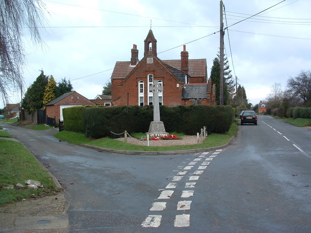
Blacksmith's Corner is a small village located in the county of Suffolk, in the eastern part of England. Situated in the picturesque countryside, the village is known for its charming and idyllic setting. With a population of around 500 residents, it offers a peaceful and close-knit community atmosphere.
The village takes its name from its historical association with blacksmithing. In the past, Blacksmith's Corner was home to a thriving blacksmith industry, where skilled craftsmen would create and repair metal tools, equipment, and horse shoes. Although the industry has declined over the years, the village still retains its rich heritage and connection to this traditional trade.
The architecture in Blacksmith's Corner reflects its rural character, with many quaint cottages and farmhouses dotting the landscape. The village also boasts a beautiful parish church, which stands as a testament to its long-standing history. Surrounded by rolling green fields and meadows, the village offers breathtaking views of the Suffolk countryside and is a haven for nature lovers and hikers.
While Blacksmith's Corner may be small in size, it offers a range of amenities for its residents. These include a local pub, a village hall for community events, and a small convenience store for everyday needs. The village also benefits from its proximity to larger towns and cities, with access to schools, medical facilities, and shopping centers just a short drive away.
Overall, Blacksmith's Corner provides a tranquil and picturesque setting for its residents, allowing them to enjoy a slower pace of life amidst the beauty of the Suffolk countryside.
If you have any feedback on the listing, please let us know in the comments section below.
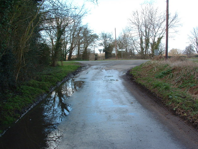
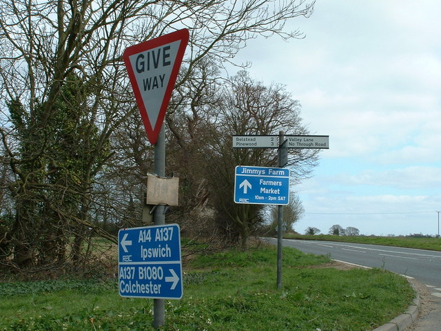
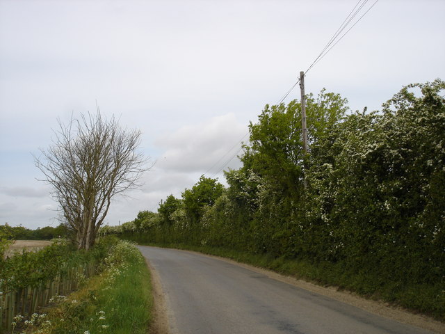
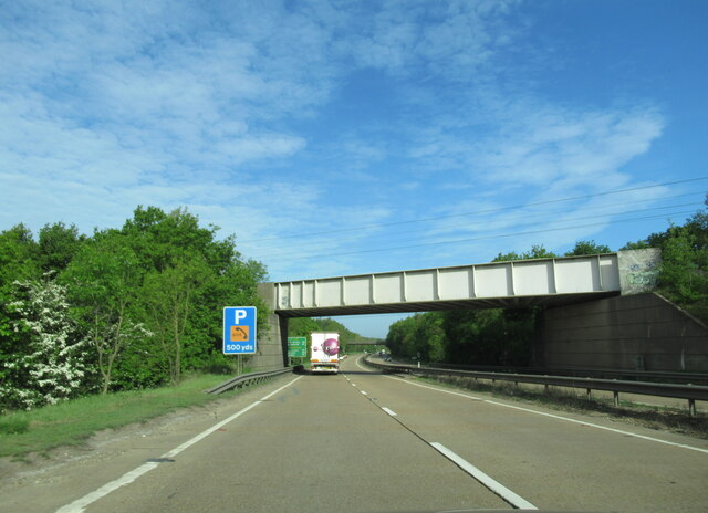
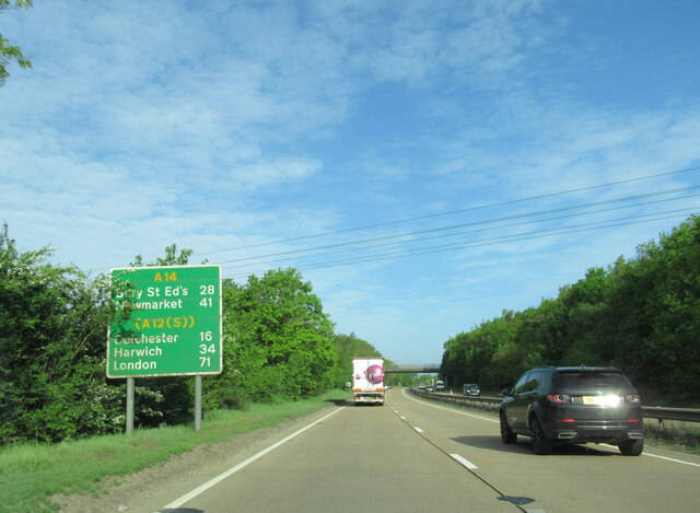
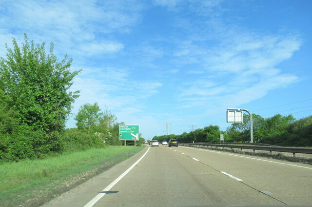
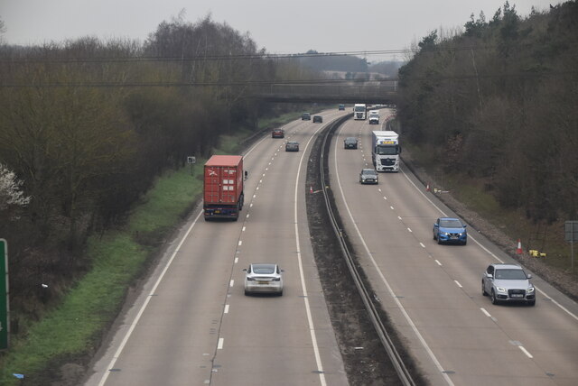
Blacksmith's Corner Images
Images are sourced within 2km of 52.023141/1.1047976 or Grid Reference TM1340. Thanks to Geograph Open Source API. All images are credited.


Blacksmith's Corner is located at Grid Ref: TM1340 (Lat: 52.023141, Lng: 1.1047976)
Administrative County: Suffolk
District: Babergh
Police Authority: Suffolk
What 3 Words
///built.proceeds.fancied. Near Capel St Mary, Suffolk
Nearby Locations
Related Wikis
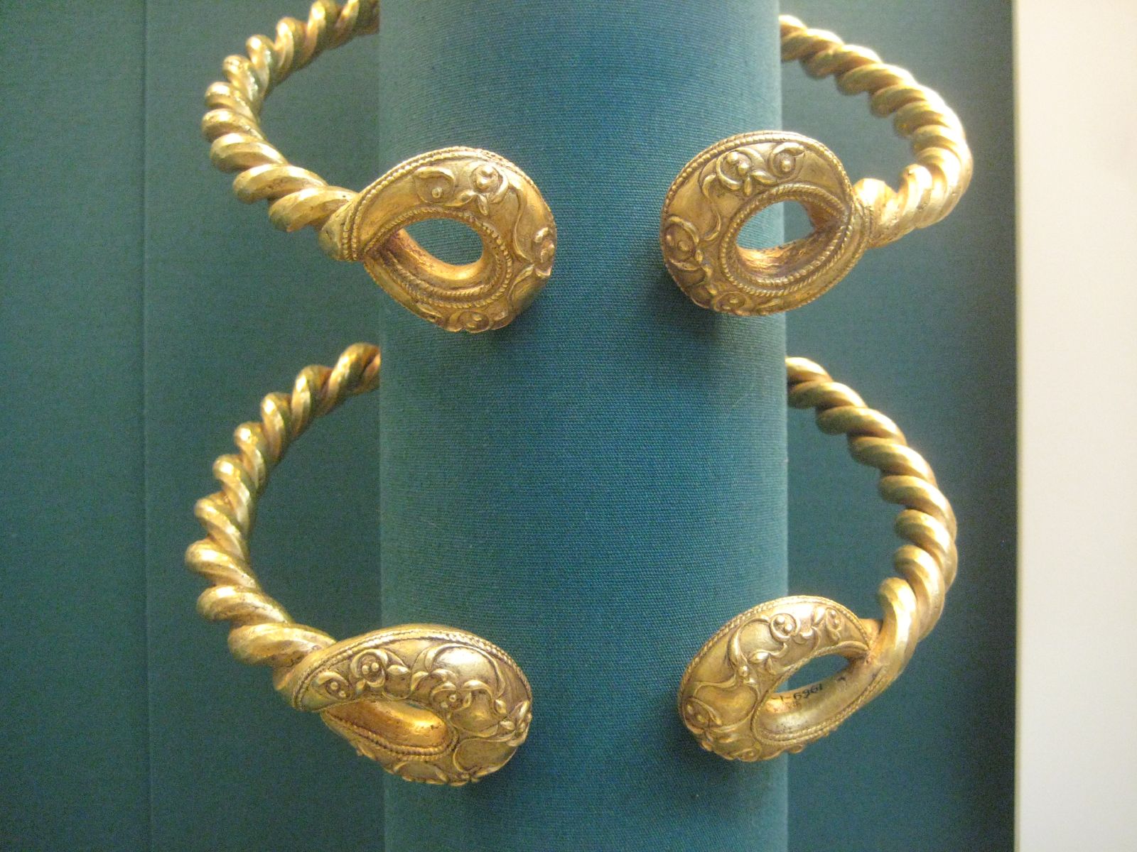
Ipswich Hoard
There are two notable Ipswich Hoards (which is to say, ancient hoards found in Ipswich, the county town of Suffolk, England). The first was a hoard of...
Belstead
Belstead is a village and civil parish in the Babergh district of the English county of Suffolk. Located on the southern edge of Ipswich, around 3 miles...

Jimmy's Farm
Jimmy's Farm is a British television series set in a working rare-breed farm, tourist destination and wedding venue in Wherstead, Suffolk. The series is...
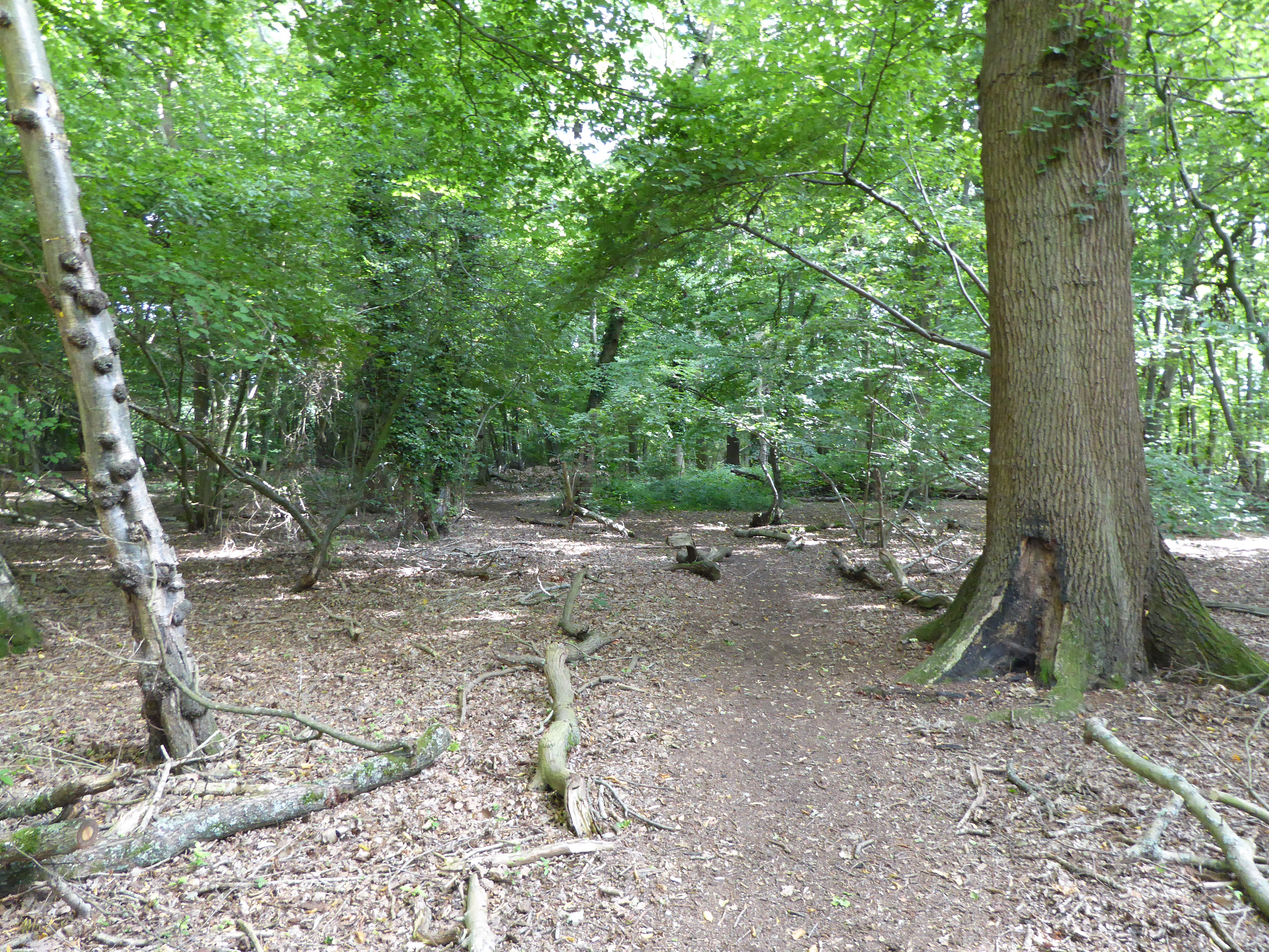
Spring Wood, Belstead
Spring Wood is a 5.5 hectare Local Nature Reserve east of Belstead, on the southern outskirts of Ipswich in Suffolk. It is owned and managed by Ipswich...
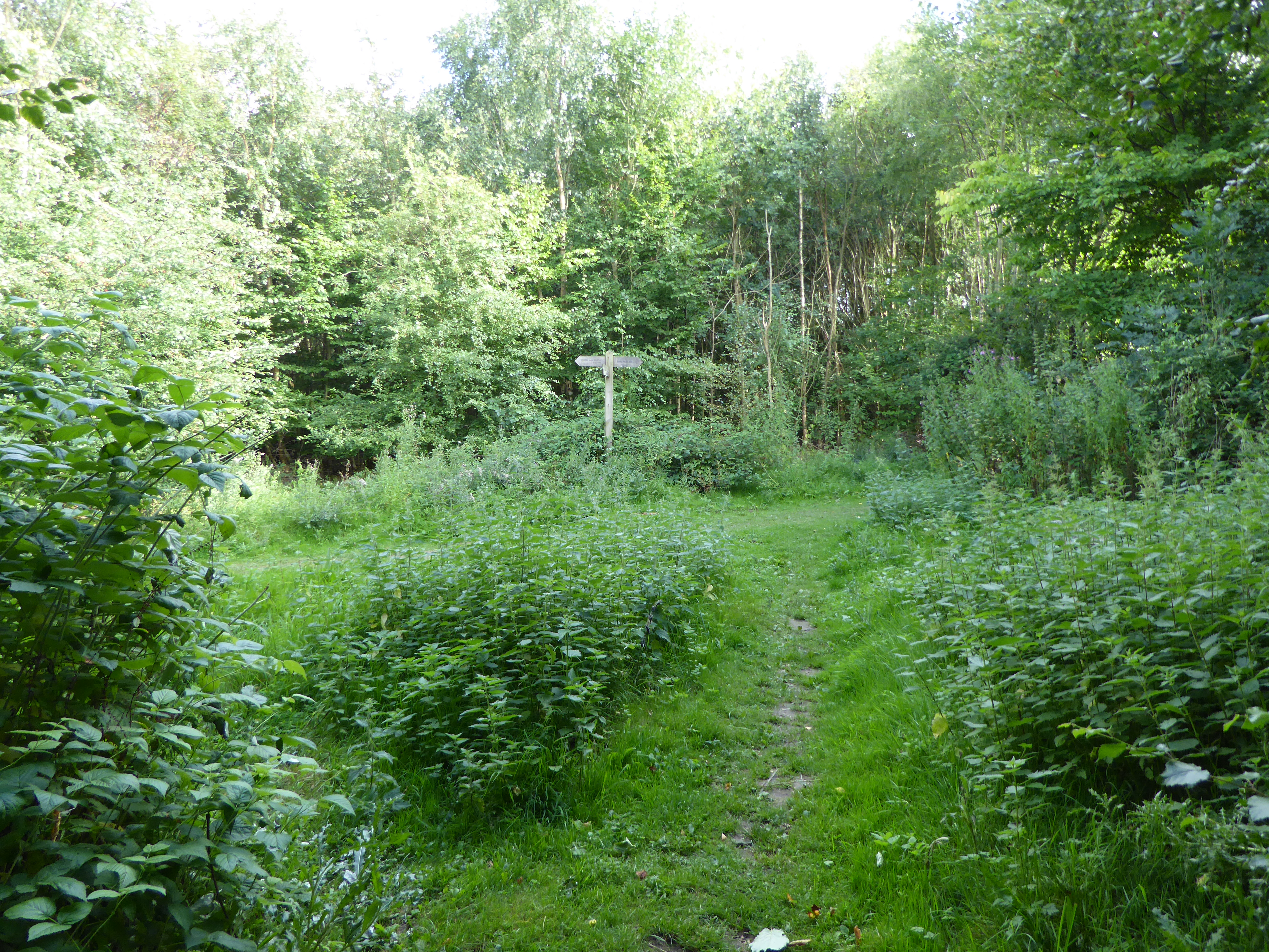
Millennium Wood, Ipswich
Millennium Wood is a 3.8 hectare Local Nature Reserve on the southern outskirts of Ipswich in Suffolk. It is owned by Suffolk County Council and managed...
Belstead House
Belstead House is a Grade II listed 16th/17th century house in Sprites Lane, Pinewood, Suffolk. It was bought by Major Quilter in 1901. Until 1920 it was...
Pinewood, Suffolk
Pinewood is a civil parish and electoral ward in the Babergh district of the English county of Suffolk. Whilst not part of the borough, it forms part of...

Old London Road
Old London Road is a cricket ground in Copdock, Suffolk. The first recorded match on the ground was in 1847, when the Gentlemen of Suffolk played the...
Nearby Amenities
Located within 500m of 52.023141,1.1047976Have you been to Blacksmith's Corner?
Leave your review of Blacksmith's Corner below (or comments, questions and feedback).