Blackshaw Moor
Settlement in Staffordshire Staffordshire Moorlands
England
Blackshaw Moor
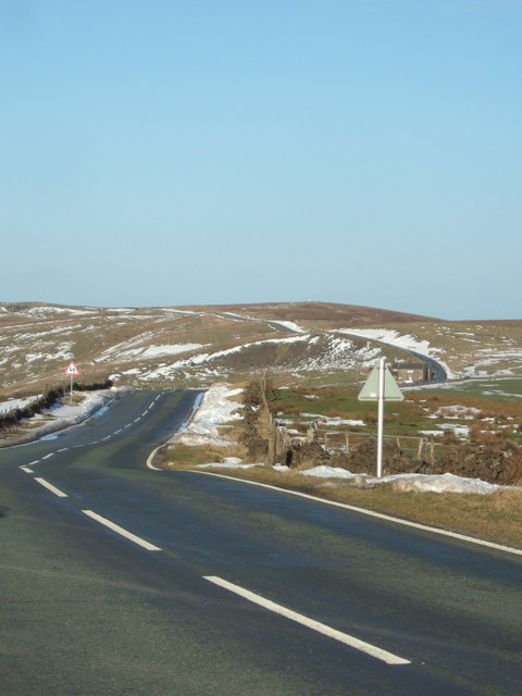
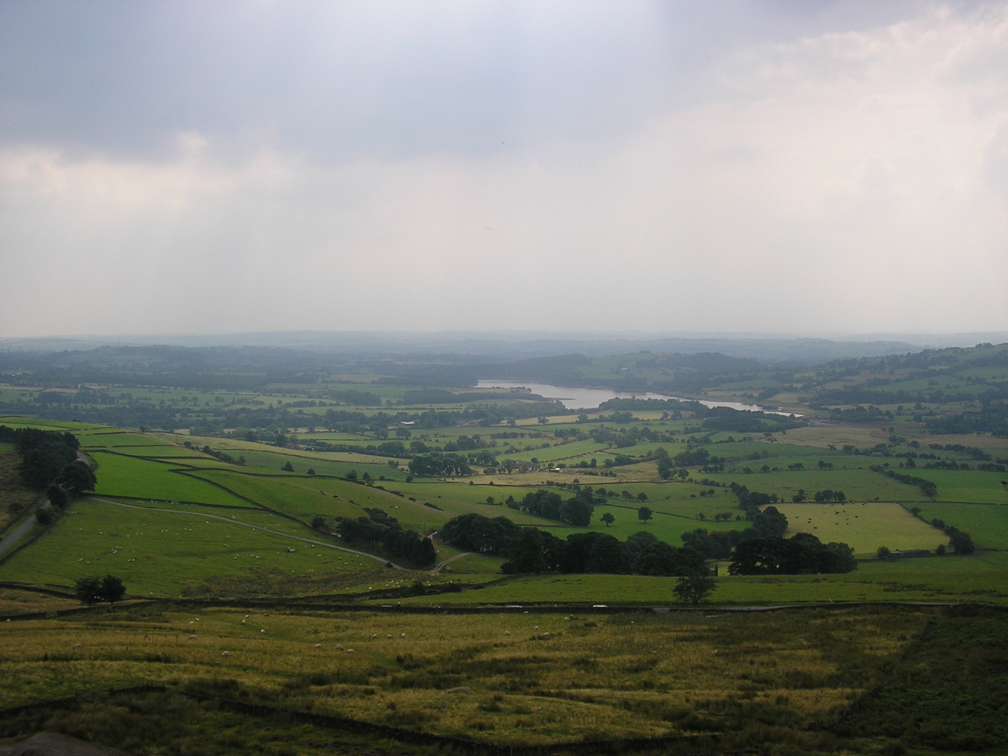
Blackshaw Moor is a small village located in the county of Staffordshire, England. Situated approximately 5 miles northeast of the town of Leek, it is nestled in the picturesque Staffordshire Moorlands. The village is surrounded by rolling hills and offers stunning views of the countryside.
With a population of around 400 people, Blackshaw Moor maintains a close-knit community atmosphere. The village mainly consists of residential properties, ranging from quaint cottages to more modern houses. There are also a few local businesses, including a village shop and a pub, providing essential amenities for residents and visitors.
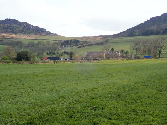
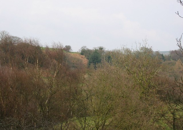
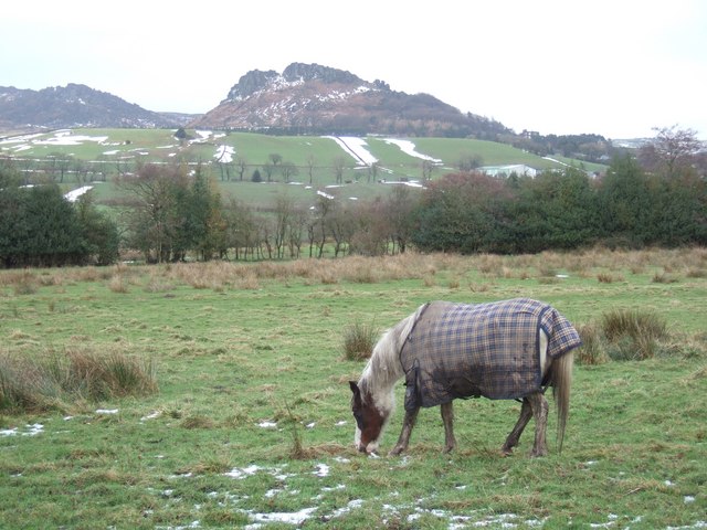
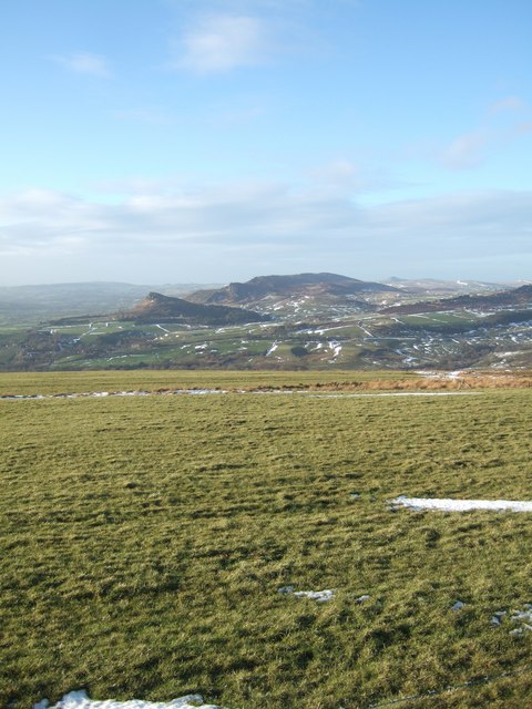
Blackshaw Moor is renowned for its natural beauty and outdoor recreational opportunities. The village is in close proximity to the Roaches, a popular gritstone escarpment known for its unique rock formations and breathtaking walking trails. The nearby Tittesworth Reservoir offers additional opportunities for water-based activities such as fishing, sailing, and canoeing.
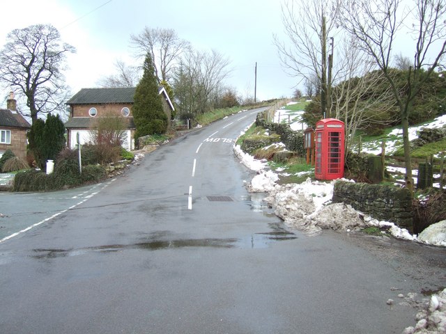
The village is well-connected to neighboring towns and cities via road links, with the A53 passing through nearby Leek and providing access to the wider region. Blackshaw Moor is also served by regular bus services, making it easily accessible for those without private transportation.
In summary, Blackshaw Moor is a charming and picturesque village in Staffordshire, offering a peaceful rural lifestyle amidst stunning natural landscapes.
If you have any feedback on the listing, please let us know in the comments section below.
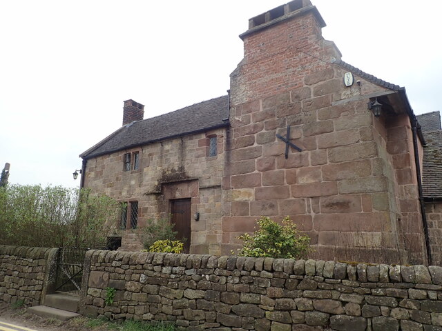
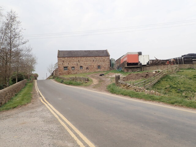
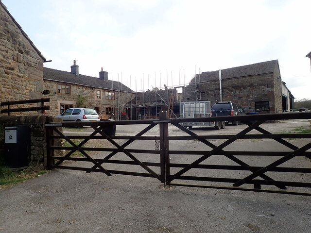
Blackshaw Moor Images
Images are sourced within 2km of 53.134171/-1.984871 or Grid Reference SK0159. Thanks to Geograph Open Source API. All images are credited.


Blackshaw Moor is located at Grid Ref: SK0159 (Lat: 53.134171, Lng: -1.984871)
Administrative County: Staffordshire
District: Staffordshire Moorlands
Police Authority: Staffordshire
What 3 Words
///chatters.luring.undertone. Near Leek, Staffordshire
Nearby Locations
Related Wikis
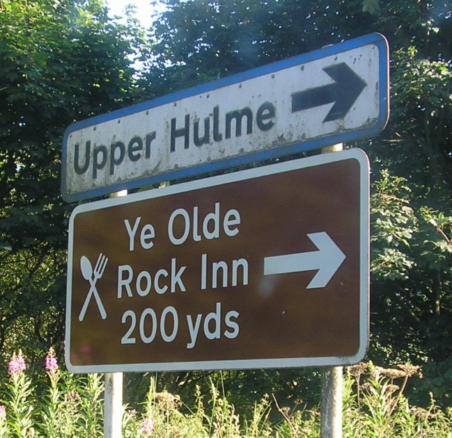
Upper Hulme
Upper Hulme is a hamlet in North Staffordshire, between the historic market town of Leek and the spa town of Buxton. It is clustered around a redundant...

Thorncliffe, Staffordshire
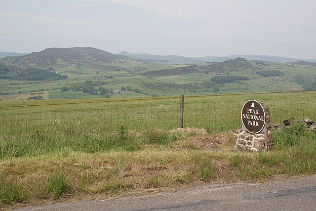
Thorncliffe is a small village in Staffordshire, England, straddling the Staffordshire Moorlands and Peak District National Park. By 1600 the name Thorncliffe...

Tittesworth
Tittesworth is a civil parish in the Staffordshire Moorlands, in Staffordshire, England. It extends from the edge of the town of Leek in the south-west...
Tittesworth reservoir
Tittesworth Reservoir is a water storage reservoir near Leek, Staffordshire, England, fed by the River Churnet. The reservoir and associated water treatment...

River Hamps
The River Hamps is a river in Staffordshire, England. It is a tributary of the River Manifold, which itself flows into the River Dove near Ilam. For much...

Meerbrook
Meerbrook (grid reference SJ989609) is a small village in North Staffordshire, on the River Churnet at the edge of the Peak District National Park. It...
Leekfrith
Leekfrith is a civil parish in the Staffordshire Moorlands, in Staffordshire, England, north of the town of Leek. The population of the civil parish at...

Ball Haye Green
Ball Haye Green is an area of Leek in Staffordshire, England. The area was historically an estate in the township of Tittesworth. It was developed as...
Related Videos
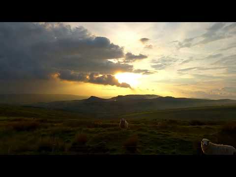
Peak District Sunset Walk, English Countryside 4K
https://www.buymeacoffee.com/Daveswalks All support is hugely appreciated and it helps me keep the channel going! No talking ...
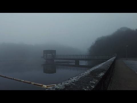
Dense Winter Fog Walk, Tittersworth Reservoir, English Countryside 4K
https://www.buymeacoffee.com/Daveswalks All support is hugely appreciated and it helps me keep the channel going! No talking ...

Gun Trig From Tittesworth Reservoir. A 6.54 Mile Circular Hike In The Peak District National Park.
A 6.54 mile circular hike from Tittesworth Reservoir to Gun Trig Point. It's a beautiful hike but a bit of a bogfest. if you are thinking of ...

Tittersworth Reservoir Walk, English Countryside 4K
https://www.buymeacoffee.com/Daveswalks All support is hugely appreciated and it helps me keep the channel going! No talking ...
Nearby Amenities
Located within 500m of 53.134171,-1.984871Have you been to Blackshaw Moor?
Leave your review of Blackshaw Moor below (or comments, questions and feedback).