Royston Water
Settlement in Somerset Somerset West and Taunton
England
Royston Water
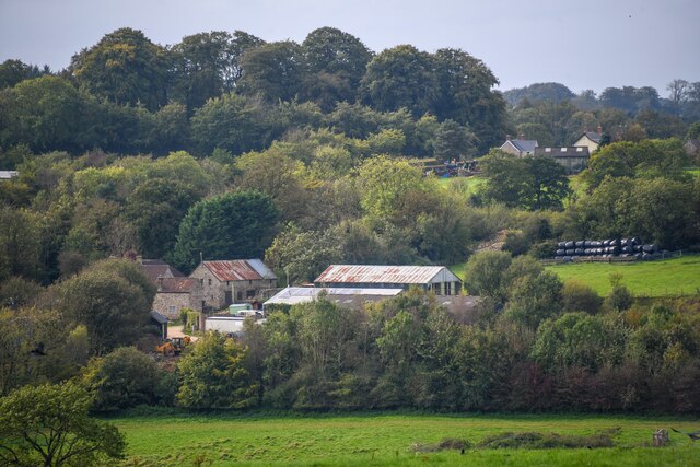
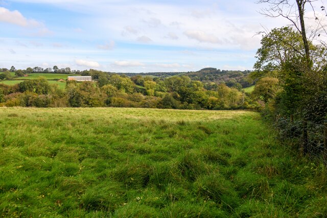
Royston Water is a serene and picturesque reservoir located in Somerset, England. Nestled amidst the rolling hills and verdant landscapes, this man-made water body offers a tranquil escape for visitors seeking solace in nature.
Covering an area of approximately 100 acres, Royston Water was originally created in the mid-19th century to serve as a reservoir for the nearby town of Royston. It was built by damming a stream flowing through the valley, resulting in the formation of a stunning lake. Over the years, it has evolved into a popular recreational spot for locals and tourists alike.
The reservoir is renowned for its crystal-clear waters, which reflect the surrounding trees and sky, creating a mesmerizing sight. The calm and serene ambiance of Royston Water makes it an ideal location for various outdoor activities such as fishing, boating, and picnicking. Anglers flock to the lake to try their luck at catching a variety of fish species, including perch, pike, and carp.
The reservoir is also home to a diverse array of wildlife, attracting birdwatchers and nature enthusiasts. A stroll along the water's edge offers glimpses of graceful swans, ducks, and other water birds, while the surrounding woodlands provide shelter to numerous species of woodland creatures.
Royston Water is easily accessible, with ample parking facilities and well-maintained footpaths for visitors to explore the area. Whether it's enjoying a peaceful day of fishing, capturing the natural beauty through photography, or simply unwinding amidst the serene surroundings, Royston Water offers a tranquil oasis for anyone seeking respite from the bustle of everyday life.
If you have any feedback on the listing, please let us know in the comments section below.
Royston Water Images
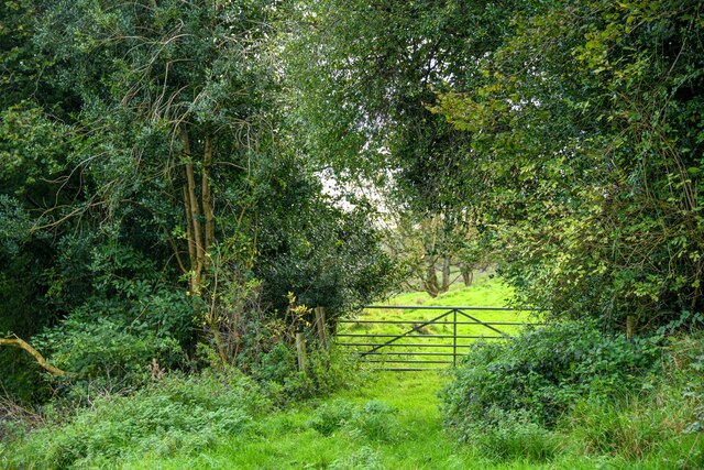
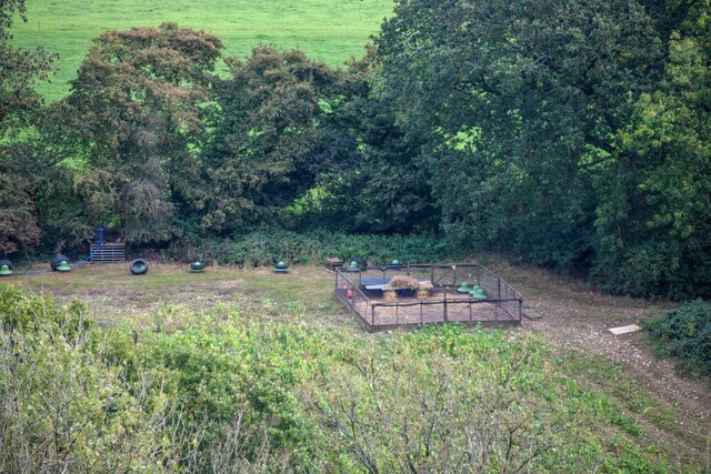
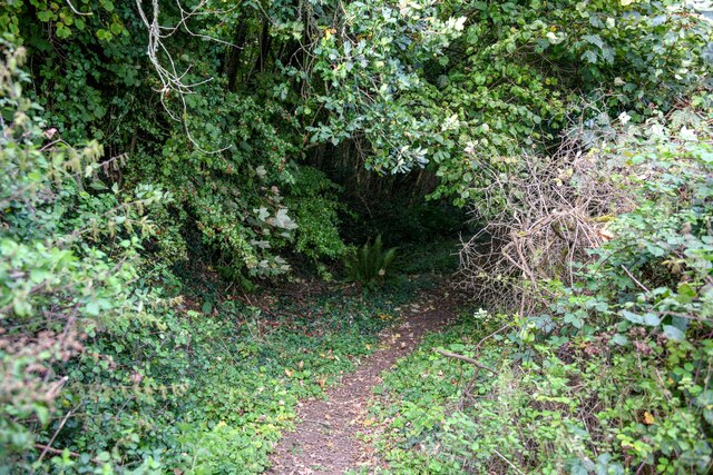
Images are sourced within 2km of 50.910961/-3.098775 or Grid Reference ST2212. Thanks to Geograph Open Source API. All images are credited.


Royston Water is located at Grid Ref: ST2212 (Lat: 50.910961, Lng: -3.098775)
Administrative County: Somerset
District: Somerset West and Taunton
Police Authority: Avon and Somerset
What 3 Words
///wicket.muted.fixed. Near Hemyock, Devon
Nearby Locations
Related Wikis

Robin Hood's Butts
Robin Hood's Butts are a group of nine Bronze Age barrows near Otterford on the Blackdown Hills in Somerset, England. They have been scheduled as ancient...

Otterhead Lakes
Otterhead Lakes are a pair of reservoirs in the Blackdown Hills Area of Outstanding Natural Beauty south of Otterford in Somerset, England. They are fed...

Church of St Leonard, Otterford
The Anglican Church of St Leonard in Otterford, Somerset, England was built in the 14th century. It is a Grade II* listed building. == History == The church...

Otterford
Otterford is a village and civil parish in Somerset, England. It is situated on the Blackdown Hills, 7 miles (11.3 km) south of Taunton. The village has...
Nearby Amenities
Located within 500m of 50.910961,-3.098775Have you been to Royston Water?
Leave your review of Royston Water below (or comments, questions and feedback).