Fry's Moor

Downs, Moorland in Somerset Somerset West and Taunton

England

Fry's Moor

Upottery: Lambpark Farmhouse A datestone by the porch, partially obscured by thatch, indicates that this building was erected in 1795 or 1796. All the buildings here are now residential: the farming function has ceased
Upottery: Lambpark Farmhouse Credit: Martin Bodman

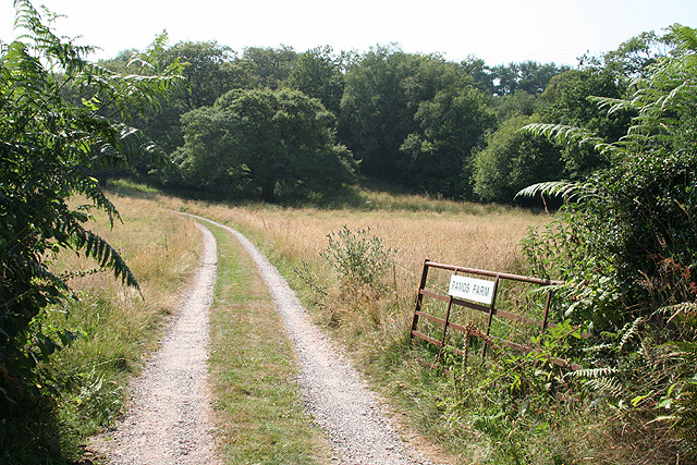
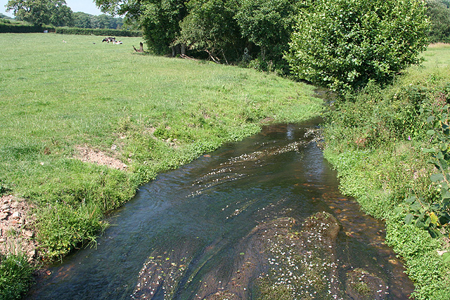
Fry's Moor is a picturesque area located in Somerset, England. It is a combination of downs and moorland, offering diverse and stunning landscapes for visitors to explore. Covering an area of approximately 500 acres, the moor is characterized by its rolling hills, open grasslands, and heathland.

One of the most striking features of Fry's Moor is its abundance of heather, which paints the landscape with vibrant hues of purple during the summer months. The moor is also home to a variety of plant species, including gorse, bracken, and bilberry, creating a rich and diverse ecosystem. These plants provide a habitat for numerous bird species, such as skylarks and stonechats, which can often be seen and heard throughout the moor.

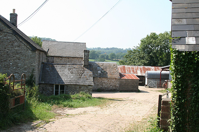
For those interested in history, Fry's Moor has an intriguing past. It was once used as common grazing land for livestock, and remnants of old stone walls and tracks can still be seen, hinting at its agricultural heritage. The moor also boasts several ancient burial mounds, known as barrows, which date back thousands of years and provide a glimpse into the area's prehistoric past.

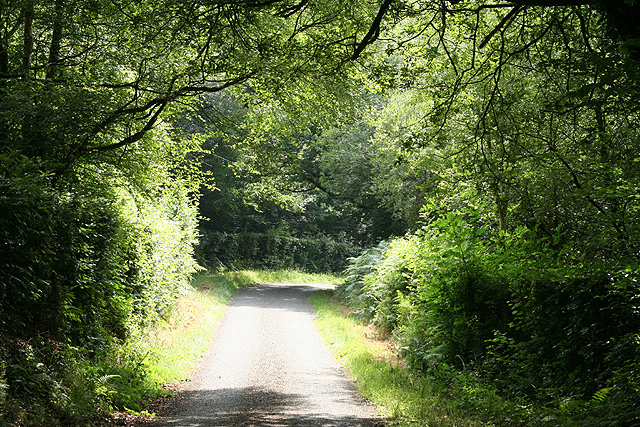
Fry's Moor is a popular destination for outdoor enthusiasts and nature lovers, offering a range of activities. Visitors can enjoy scenic walks and hikes, taking in the breathtaking views and immersing themselves in the tranquility of the moor. It is also a great spot for birdwatching, photography, and picnicking, allowing visitors to connect with nature and escape the hustle and bustle of everyday life.

Overall, Fry's Moor in Somerset is a captivating and unspoiled natural area, offering a unique blend of downs and moorland, rich biodiversity, and a sense of history. It is a must-visit destination for anyone seeking to explore the beauty of the English countryside.

If you have any feedback on the listing, please let us know in the comments section below.
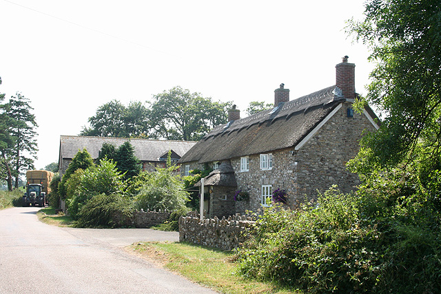
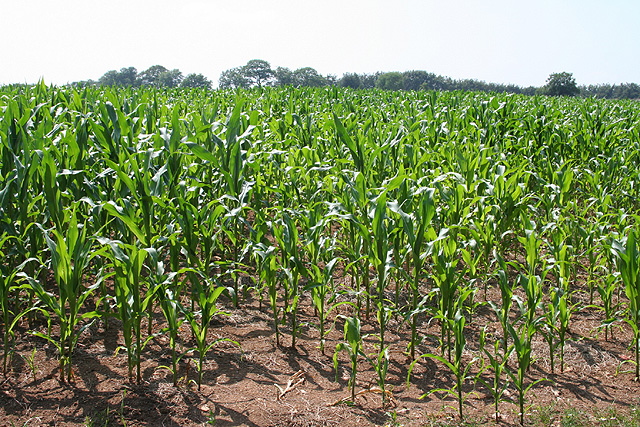
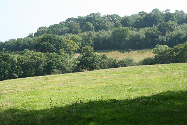
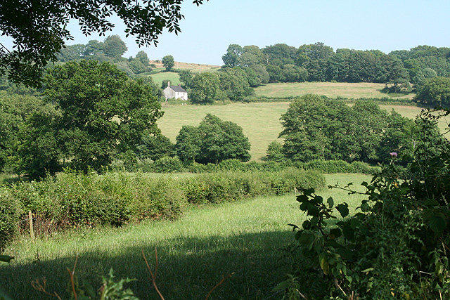
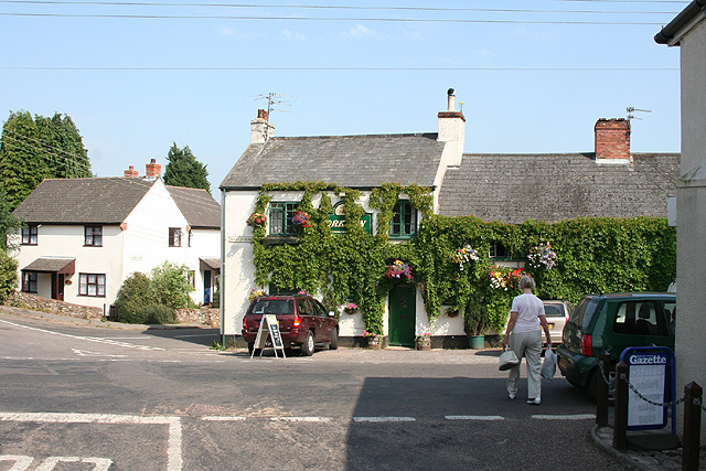
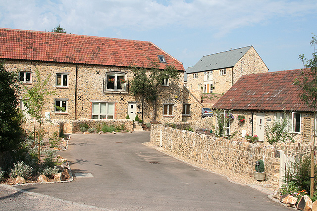
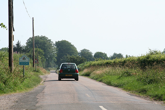
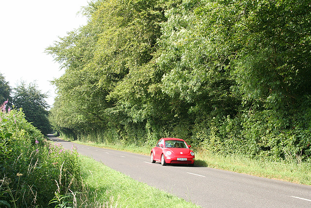
Fry's Moor Images

Images are sourced within 2km of 50.904273/-3.1066818 or Grid Reference ST2212. Thanks to Geograph Open Source API. All images are credited.

Upottery: Lambpark Farmhouse A datestone by the porch, partially obscured by thatch, indicates that this building was erected in 1795 or 1796. All the buildings here are now residential: the farming function has ceased
Upottery: Lambpark Farmhouse
A datestone by the porch, partially obscured by thatch, indicates that this building was erected in 1795 or 1796. All the buildings here are now residential: the farming function has ceased
Upottery: new crop Looking south west across a field near Lambpark
Upottery: new crop
Looking south west across a field near Lambpark
Upottery: Knackers Hole Lane This lane defines the border between Devon and Somerset and the parishes of Upottery and Churchstanton. Looking east-north-east
Upottery: Knackers Hole Lane
This lane defines the border between Devon and Somerset and the parishes of Upottery and Churchstanton. Looking east-north-east
Upottery: towards Lower Luxton Looking south-south-east across a valley to the east of Higher Luxton
Upottery: towards Lower Luxton
Looking south-south-east across a valley to the east of Higher Luxton
Upottery: towards Williambeer Farm Looking east across the Otter valley
Upottery: towards Williambeer Farm
Looking east across the Otter valley
Upottery: entrance to Pamos Farm Looking west
Upottery: entrance to Pamos Farm
Looking west
Upottery: the river Otter Near Hoemoor Farm. Looking north
Upottery: the river Otter
Near Hoemoor Farm. Looking north
Yarcombe: Williambeer Farm Seen from the entrance with the farmhouse on the left. Looking west-north-west
Yarcombe: Williambeer Farm
Seen from the entrance with the farmhouse on the left. Looking west-north-west
Yarcombe: Stout Mill Looking south-south-west. There was a watermill here, amongst the farm buildings, powered by a leat tapping a tributary of the river Otter
Yarcombe: Stout Mill
Looking south-south-west. There was a watermill here, amongst the farm buildings, powered by a leat tapping a tributary of the river Otter
Yarcombe: copse by the lane to Fry’s Moor Overlooking the Otter valley; looking north west
Yarcombe: copse by the lane to Fry’s Moor
Overlooking the Otter valley; looking north west
Otterford: near Fry’s Moor Looking south west
Otterford: near Fry’s Moor
Looking south west
Churchstanton: Churchinford The York Inn: where the Honiton Road, Royston Road, Red Lane and Moor Lane meet. On the extreme right is the local shop and Post Office. Looking east
Churchstanton: Churchinford
The York Inn: where the Honiton Road, Royston Road, Red Lane and Moor Lane meet. On the extreme right is the local shop and Post Office. Looking east
Churchstanton: Churchinford Converted barns in Moor Lane, including Mill Cottage, centre. This was presumably a farm mill before conversion. Looking north east
Churchstanton: Churchinford
Converted barns in Moor Lane, including Mill Cottage, centre. This was presumably a farm mill before conversion. Looking north east
Churchstanton: the Honiton road Approaching the Devon border; looking south-south-west south of Churchingford
Churchstanton: the Honiton road
Approaching the Devon border; looking south-south-west south of Churchingford
Churchstanton: the Honiton road North of Churchingford, looking north-north-east
Churchstanton: the Honiton road
North of Churchingford, looking north-north-east
Otterford: the B3170 near Brown Down Looking south in the Honiton direction by the turning to Otterford Mill. In the other direction the road runs to Taunton via Corfe
Otterford: the B3170 near Brown Down
Looking south in the Honiton direction by the turning to Otterford Mill. In the other direction the road runs to Taunton via Corfe
Otterford: near Royston Water Looking north on a public footpath leading to Otterford hamlet
Otterford: near Royston Water
Looking north on a public footpath leading to Otterford hamlet
Otterford: Robin Hood’s Butts A tumulus stands by the road to Churchingford with another by the wood beyond. Looking north-north-west
Otterford: Robin Hood’s Butts
A tumulus stands by the road to Churchingford with another by the wood beyond. Looking north-north-west
Show me another place!

Fry's Moor is located at Grid Ref: ST2212 (Lat: 50.904273, Lng: -3.1066818)

Administrative County: Somerset

District: Somerset West and Taunton

Police Authority: Avon and Somerset

What 3 Words

///pays.worldwide.yelled. Near Hemyock, Devon

Nearby Locations

Royston Water Fry's Moor

Related Wikis

Robin Hood's Butts

Robin Hood's Butts are a group of nine Bronze Age barrows near Otterford on the Blackdown Hills in Somerset, England. They have been scheduled as ancient...

Otterhead Lakes

Otterhead Lakes are a pair of reservoirs in the Blackdown Hills Area of Outstanding Natural Beauty south of Otterford in Somerset, England. They are fed...

Church of St Leonard, Otterford

The Anglican Church of St Leonard in Otterford, Somerset, England was built in the 14th century. It is a Grade II* listed building. == History == The church...

Otterford

Otterford is a village and civil parish in Somerset, England. It is situated on the Blackdown Hills, 7 miles (11.3 km) south of Taunton. The village has...

Bishopswood Meadows

Bishopswood Meadows is a nature reserve situated within the Blackdown Hills Area of Outstanding Natural Beauty in the county of Somerset, England. The...

RAF Culmhead

Royal Air Force Culmhead or more simply RAF Culmhead is a former Royal Air Force station, situated at Churchstanton on the Blackdown Hills in Somerset...

Southey and Gotleigh Moors

Southey and Gotleigh Moors (grid reference ST192110) is an 81.3 hectare (200.1 acre) biological Site of Special Scientific Interest on the Blackdown Hills...

Deadman SSSI, Somerset

Deadman (grid reference ST234156) is a 28.8 hectare (71.2 acre) biological Site of Special Scientific Interest on the edge of the Blackdown Hills, near...

Nearby Amenities

Located within 500m of 50.904273,-3.1066818
Barrier: cattle_grid
Motorcar: yes
Motorcycle: yes
Lat/Long: 50.9023894/-3.1092597
Power: pole
Source: bing
Transformer: distribution
Lat/Long: 50.9051751/-3.1073472
Power: pole
Source: bing
Lat/Long: 50.9058846/-3.1086373
Power: pole
Source: bing
Lat/Long: 50.9065155/-3.1097746
Power: pole
Source: bing
Lat/Long: 50.9072766/-3.1111318
The data included in this document is from www.openstreetmap.org. The data is made available under ODbL.

Have you been to Fry's Moor?

Leave your review of Fry's Moor below (or comments, questions and feedback).