Roxburgh

Settlement in Roxburghshire

Scotland

Roxburgh

Stubble field south of Roxburgh
Stubble field south of Roxburgh Credit: JThomas

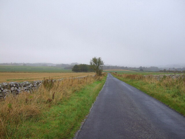
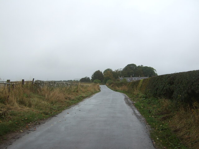
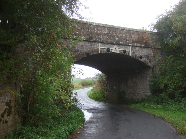
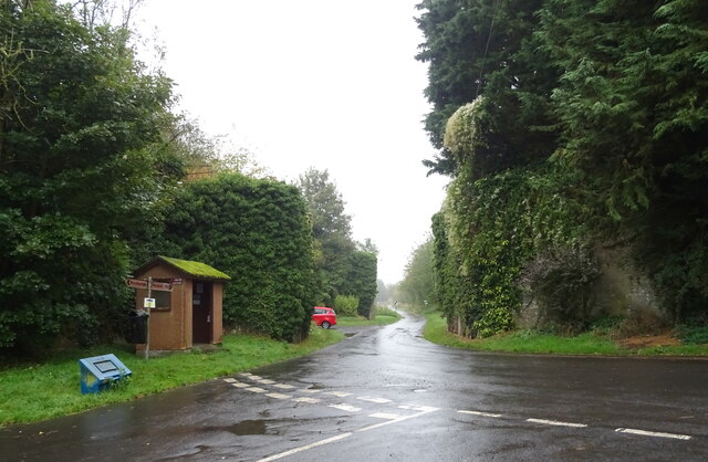
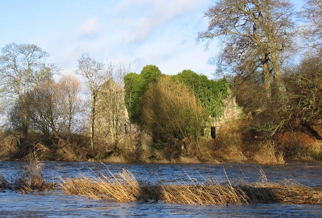
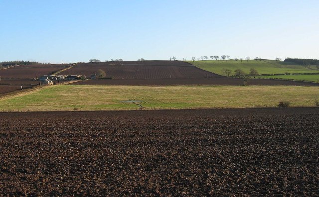
Roxburgh is a small town located in Roxburghshire, a historic county in the Scottish Borders region of Scotland. Situated in the picturesque valley of the River Teviot, the town is surrounded by rolling hills and offers stunning views of the surrounding countryside.

Historically, Roxburgh was an important settlement, serving as the county town of Roxburghshire and hosting a royal castle. However, the castle was destroyed in the 16th century, and today only its ruins remain. Despite this, the town still retains a sense of history and charm, with several notable landmarks and buildings.

One of the most prominent features of Roxburgh is the Roxburgh Parish Church, an attractive sandstone building dating back to the 18th century. The church is known for its beautiful stained-glass windows and peaceful atmosphere, making it a popular spot for visitors and locals alike.

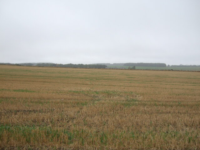
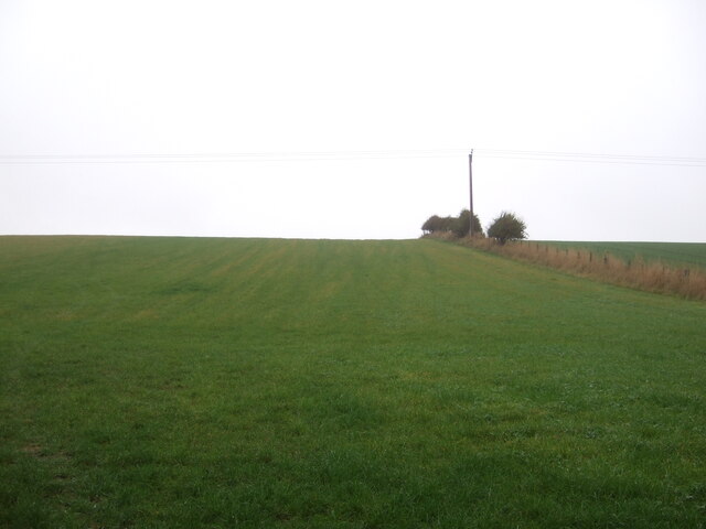
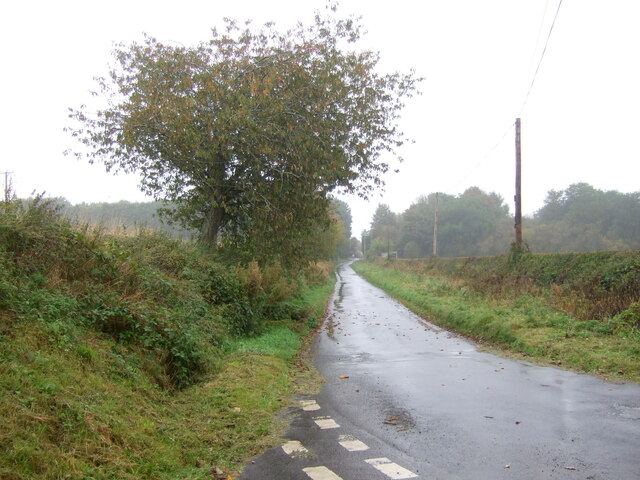
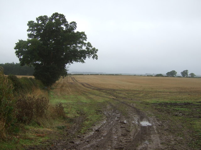
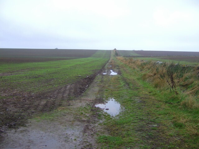
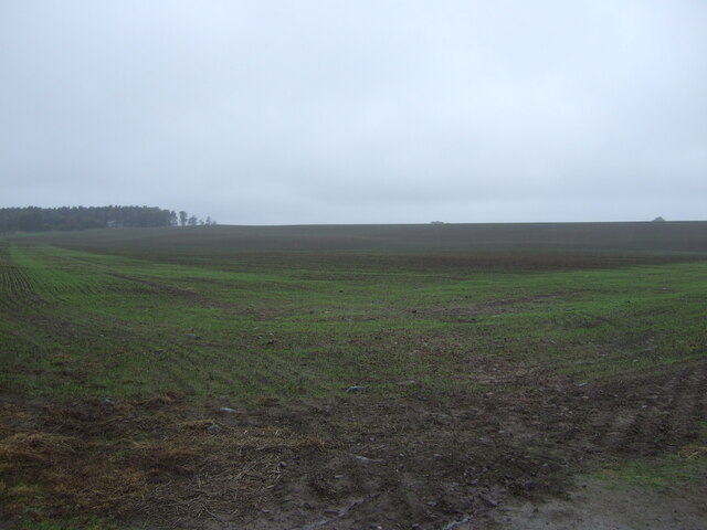
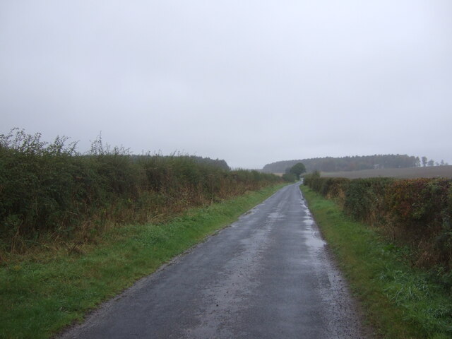
Roxburgh is also renowned for its natural beauty and outdoor recreational opportunities. The nearby River Teviot provides excellent fishing and boating opportunities, while the surrounding hills offer numerous walking trails and scenic viewpoints.

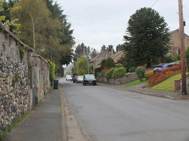
Although small in size, Roxburgh boasts a close-knit community and a range of amenities. The town has a primary school, a community center, a few shops, and a pub, providing essential services to its residents.

Overall, Roxburgh is a charming Scottish town, rich in history, natural beauty, and community spirit. Its idyllic location and friendly atmosphere make it a wonderful place to visit or call home for those seeking a peaceful escape in the Scottish Borders.

If you have any feedback on the listing, please let us know in the comments section below.
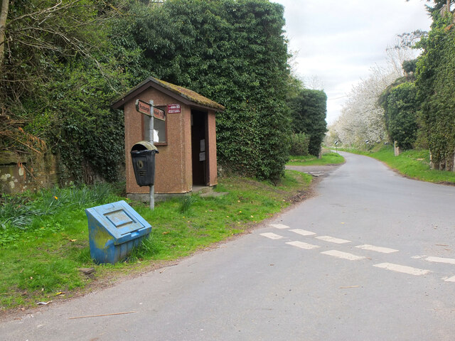
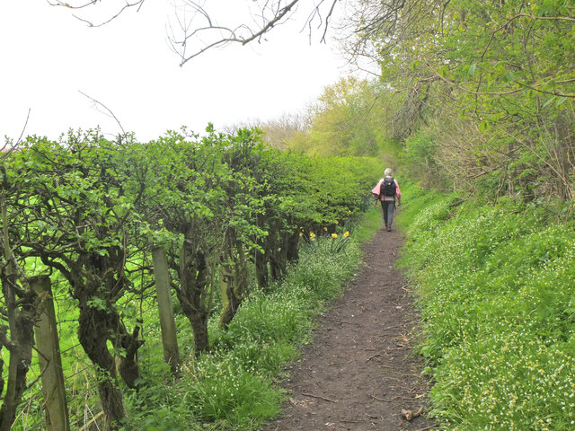
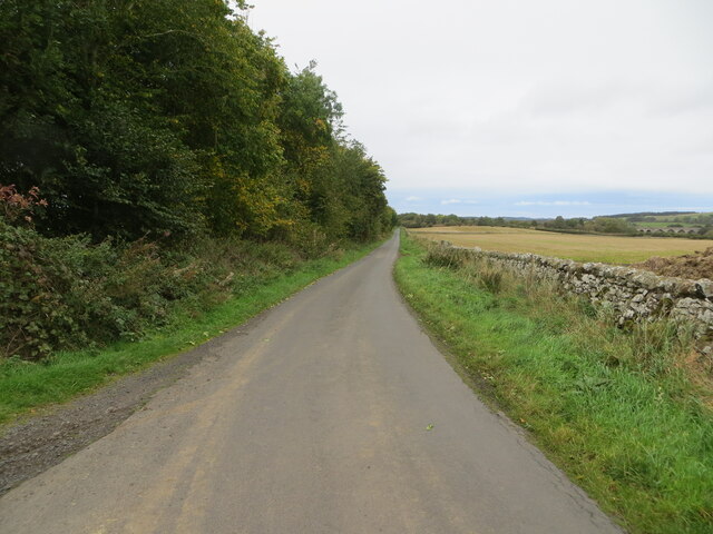
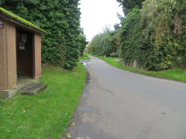
Roxburgh Images

Images are sourced within 2km of 55.569295/-2.4759864 or Grid Reference NT7030. Thanks to Geograph Open Source API. All images are credited.

Stubble field south of Roxburgh
Minor road heading north towards Roxburgh
Grassland, Roxburgh
Grassland, Roxburgh
Minor road into Roxburgh
Stubble field and hedgerow, Over Roxburgh
Minor road, Over Roxburgh
Disused railway bridge, Roxburgh The former St Boswells to Kelso railway line. The line was closed in 1964.
Disused railway bridge, Roxburgh
The former St Boswells to Kelso railway line. The line was closed in 1964.
Farm track near Roxburgh
Emerging crop near Roxburgh On a dreich day in the Borders.
Emerging crop near Roxburgh
On a dreich day in the Borders.
Minor road, the Common Towards Roxburgh Newtown.
Minor road, the Common
Towards Roxburgh Newtown.
Bus shelter on road junction, Roxburgh Remains of a railway bridge behind.
Bus shelter on road junction, Roxburgh
Remains of a railway bridge behind.
Roxburgh village The quiet village of Roxburgh, situated on the west bank of the Teviot south of Kelso. At one time it had a railway station at the junction of the branch line to Jedburgh and the E-W line from Tweedmouth to Newtown St Boswells.
Roxburgh village
The quiet village of Roxburgh, situated on the west bank of the Teviot south of Kelso. At one time it had a railway station at the junction of the branch line to Jedburgh and the E-W line from Tweedmouth to Newtown St Boswells.
Bus shelter and remains of railway bridges, Roxburgh The bus stop is at the west end of the village, on the minor road to Nisbet. Covered in vegetation just past the stop are two bridge abutments for the former railways to Kelso and Jedburgh. Roxburgh station was at the junction, out of shot to the right.
Bus shelter and remains of railway bridges, Roxburgh
The bus stop is at the west end of the village, on the minor road to Nisbet. Covered in vegetation just past the stop are two bridge abutments for the former railways to Kelso and Jedburgh. Roxburgh station was at the junction, out of shot to the right.
Path to the Teviot, Roxburgh The path follows the foot of the embankment of the former Kelso and Tweedmouth railway.
Path to the Teviot, Roxburgh
The path follows the foot of the embankment of the former Kelso and Tweedmouth railway.
Wall and tree-lined minor road approaching Roxburgh Looking north-eastward,  To the right of the picture a former railway viaduct crossing the River Teviot can be seen. Pedestrians can still cross the river here.
Wall and tree-lined minor road approaching Roxburgh
Looking north-eastward, To the right of the picture a former railway viaduct crossing the River Teviot can be seen. Pedestrians can still cross the river here.
Road at a bus shelter in Roxburgh Looking south-westward between the butress remains of two former railway bridges.
Road at a bus shelter in Roxburgh
Looking south-westward between the butress remains of two former railway bridges.
Sunlaws Mill Sunlaws Mill on the banks of the Teviot
Sunlaws Mill
Sunlaws Mill on the banks of the Teviot
Whitehillfoot in a ploughed landscape
Show me another place!

Roxburgh is located at Grid Ref: NT7030 (Lat: 55.569295, Lng: -2.4759864)

Unitary Authority: The Scottish Borders

Police Authority: The Lothians and Scottish Borders

What 3 Words

///motorist.slightly.climber. Near Maxwellheugh, Scottish Borders

Related Wikis

Roxburgh (village)

Roxburgh (Gaelic, Rosbrog) is a village off the A699, by the River Teviot, near Kelso in the Scottish Borders area of Scotland. It should not be confused...

Wallace's Tower

Wallace's Tower is a ruined 16th-century L-plan tower house, about 3 miles (4.8 km) south west Kelso, Scottish Borders, Scotland, in Roxburgh, west of...

Roxburgh railway station

Roxburgh railway station was on the Kelso Line, and served the village of Roxburgh, Scottish Borders, from 1850 to 1964. == History == The station was...

Kirkbank railway station

Kirkbank railway station served Old Ormiston, in the Scottish Borders, Scotland from 1856 to 1948 on the Jedburgh Railway. == History == The station opened...

Capture of Roxburgh (1314)

The Capture of Roxburgh was a siege that took place in 1314, which was a major conflict in the First War of Scottish Independence. This siege was a prelude...
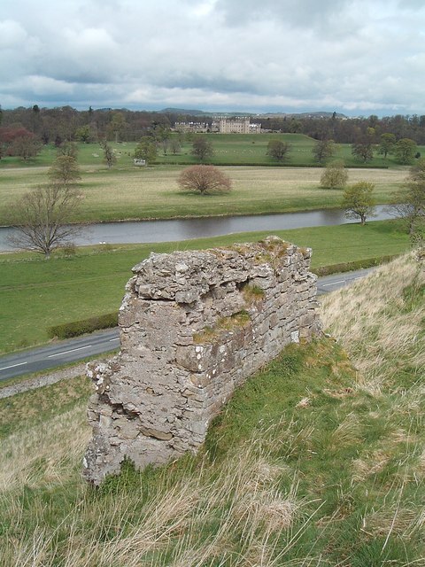
Roxburgh Castle

Roxburgh Castle is a ruined royal castle that overlooks the junction of the rivers Tweed and Teviot, in the Borders region of Scotland. The town and castle...

Roxburgh

Roxburgh () is a civil parish and formerly a royal burgh, in the historic county of Roxburghshire in the Scottish Borders, Scotland. It was an important...

Capture of Roxburgh (1460)

The capture of Roxburgh was a siege that took place during the Anglo-Scottish Wars. James II of Scotland had started a campaign to recapture Roxburgh and...

Nearby Amenities

Located within 500m of 55.569295,-2.4759864
Roxburgh
Name Gd: Rosbrog
Place: village
Wikidata: Q1714424
Wikipedia: en:Roxburgh
Lat/Long: 55.5685529/-2.4781358
Bus Stop
Station House
Naptan AtcoCode: 6900722
Naptan Bearing: S
Naptan CommonName: Station House
Naptan Indicator: Bus Shelter
Naptan Landmark: Road Junction
Naptan NaptanCode: 72723587
Naptan Street: Teviot Road
Naptan Verified: no
Source: naptan_import
Lat/Long: 55.5674743/-2.4807043
Roxburgh Train Station
Historic: archaeological_site
Lat/Long: 55.5675555/-2.4811398
Telephone
Booth: K6
Covered: booth
Operator: BT
Payment Coins: yes
Lat/Long: 55.5687509/-2.4779709
Post Box
Operator: Royal Mail
Post Box Mounting: stone_wall
Post Box Type: wall
Ref: TD5 33
Lat/Long: 55.5688772/-2.4780709
Over Roxburgh
Place: hamlet
Lat/Long: 55.5718746/-2.4809729
Roxburgh Mill
Place: hamlet
Lat/Long: 55.5712936/-2.4732872
Drinking Water
Access: yes
Bottle: yes
Fee: no
Survey Date: 2021-05-08
Lat/Long: 55.5700293/-2.4746766
Bench
Backrest: yes
Colour: brown
Material: wood
Seats: 3
Survey Date: 2021-07-28
Lat/Long: 55.5673359/-2.481182
Bench
Backrest: yes
Colour: brown
Material: wood
Seats: 3
Survey Date: 2021-07-28
Lat/Long: 55.5673485/-2.4811529
Power: pole
Lat/Long: 55.5672784/-2.481718
Power: pole
Lat/Long: 55.5734389/-2.4744347
Power: pole
Lat/Long: 55.572842/-2.4749651
Power: pole
Lat/Long: 55.5722903/-2.475493
Power: pole
Lat/Long: 55.5716483/-2.4763376
Power: pole
Lat/Long: 55.5710062/-2.4771822
Power: pole
Lat/Long: 55.5703831/-2.4779882
Power: pole
Lat/Long: 55.5697789/-2.4787993
Power: pole
Lat/Long: 55.5697396/-2.4788508
Power: pole
Lat/Long: 55.5689753/-2.4797726
Power: pole
Lat/Long: 55.5695154/-2.4811425
Power: pole
Lat/Long: 55.5696959/-2.4816317
Power: pole
Lat/Long: 55.5703773/-2.4823038
Power: pole
Lat/Long: 55.5708883/-2.4828239
Power: pole
Lat/Long: 55.5700774/-2.47934
Power: pole
Lat/Long: 55.5704472/-2.4800121
Give Way
Direction: backward
Lat/Long: 55.5689474/-2.4821847
The data included in this document is from www.openstreetmap.org. The data is made available under ODbL.

Have you been to Roxburgh?

Leave your review of Roxburgh below (or comments, questions and feedback).