Lady's Well

Lake, Pool, Pond, Freshwater Marsh in Roxburghshire

Scotland

Lady's Well

Stubble field south of Roxburgh
Stubble field south of Roxburgh Credit: JThomas

Lady's Well is a picturesque freshwater pond located in the heart of Roxburghshire, Scotland. Nestled amidst rolling hills and lush green meadows, this natural oasis is a sight to behold. The well is named after a local legend that tells the story of a mysterious lady who once resided nearby.

The well itself is a small, circular body of water, roughly 20 meters in diameter. Surrounded by a dense thicket of trees and shrubs, it exudes an air of tranquility and seclusion. The water is crystal clear and teems with various aquatic plants and small fish, adding to the overall charm of the place.

Lady's Well is not just a visual delight; it also plays a vital role in supporting the local ecosystem. The pond serves as a vital habitat for a variety of aquatic creatures, including frogs, newts, and dragonflies. Its freshwater marshes provide a breeding ground for several bird species, attracting birdwatchers from far and wide.

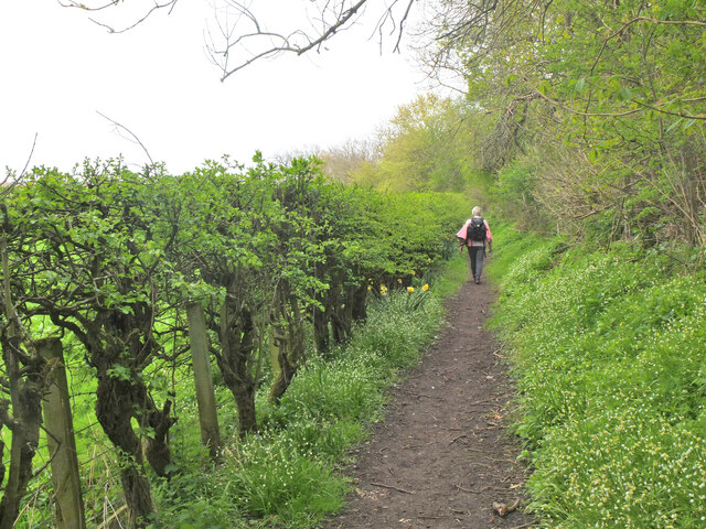
The well has become a popular destination for nature lovers and hikers seeking a peaceful retreat. Visitors can enjoy leisurely walks along the well-maintained footpaths that encircle the pond, taking in the stunning views and listening to the gentle sounds of nature. Many people also come to Lady's Well for picnics, immersing themselves in the serene surroundings while enjoying a meal in the open air.

Lady's Well is not only a natural gem but also a cultural landmark. It has deep historical and spiritual significance, with locals often visiting to pay their respects and seek solace. The site is adorned with small tokens and offerings left by visitors, adding to its mystical allure.

In conclusion, Lady's Well in Roxburghshire is a captivating freshwater pond that combines natural beauty, biodiversity, and cultural significance. Whether for a peaceful stroll, birdwatching, or a moment of reflection, this enchanting spot offers a truly unforgettable experience for all who visit.

If you have any feedback on the listing, please let us know in the comments section below.
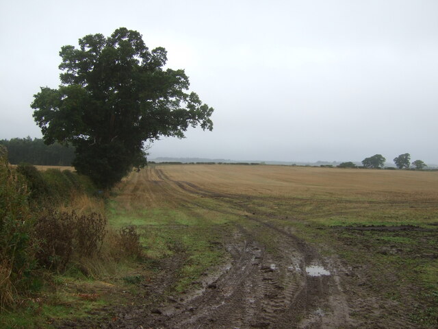
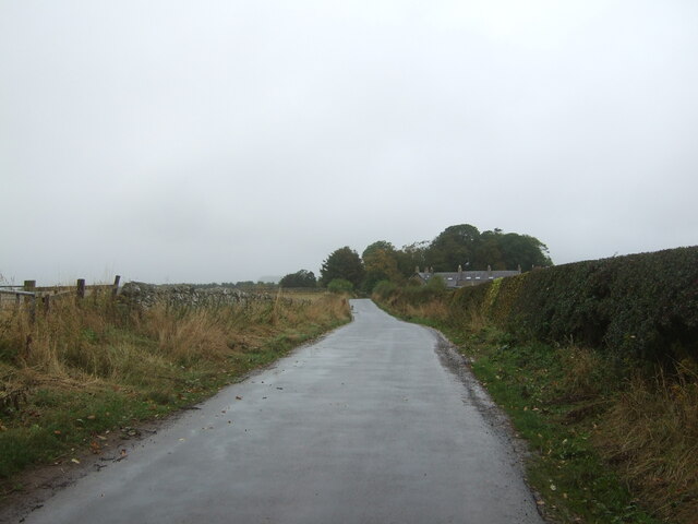
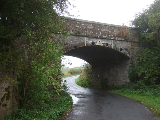
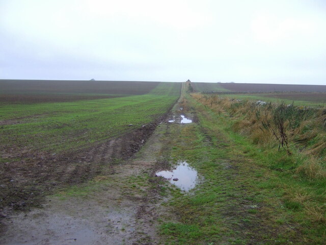
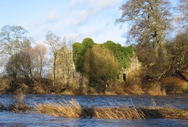
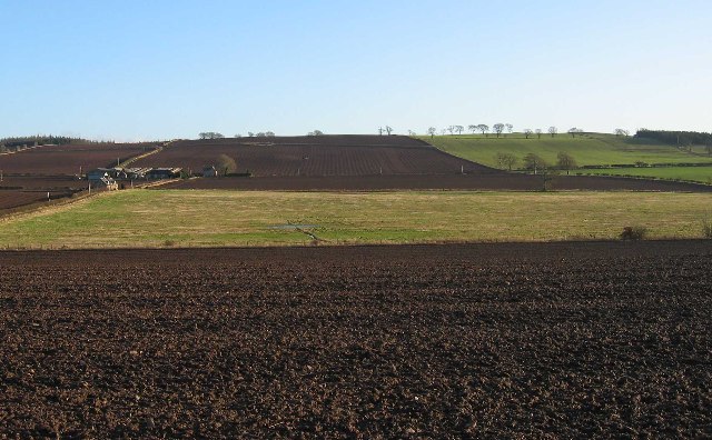
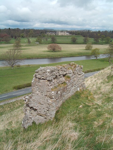
Lady's Well Images

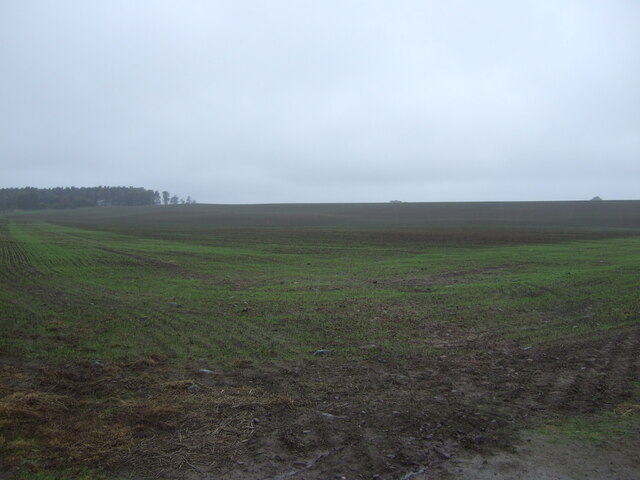
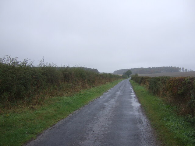
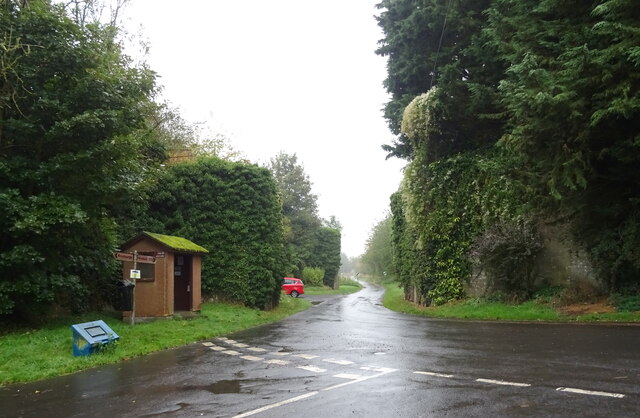
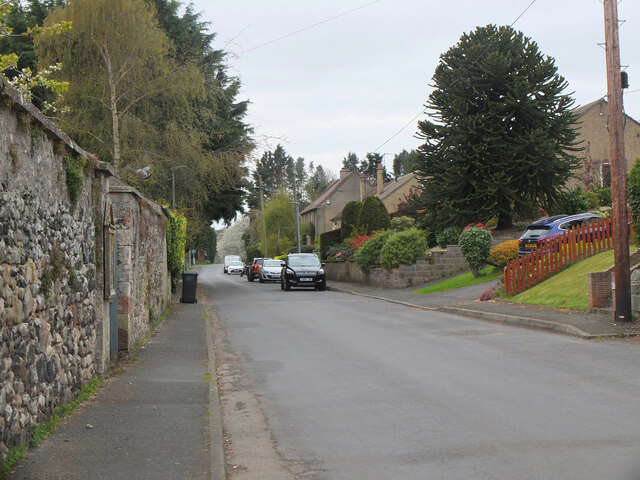
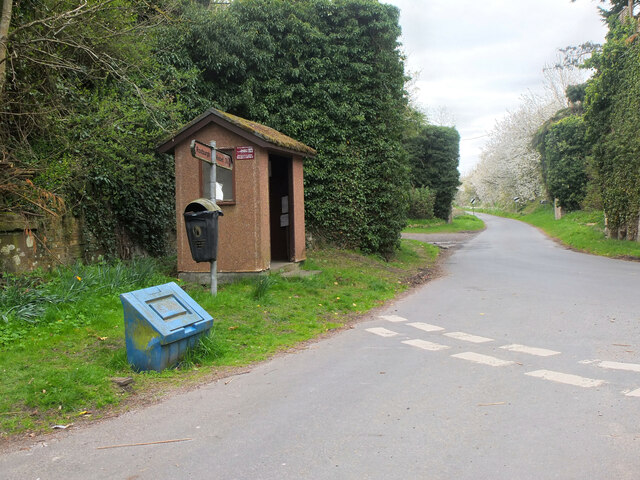
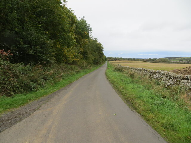
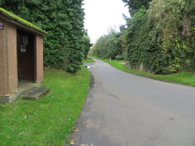
Images are sourced within 2km of 55.569902/-2.4725209 or Grid Reference NT7030. Thanks to Geograph Open Source API. All images are credited.

Stubble field south of Roxburgh
Minor road heading north towards Roxburgh
Grassland, Roxburgh
Grassland, Roxburgh
Minor road into Roxburgh
Stubble field and hedgerow, Over Roxburgh
Minor road, Over Roxburgh
Disused railway bridge, Roxburgh The former St Boswells to Kelso railway line. The line was closed in 1964.
Disused railway bridge, Roxburgh
The former St Boswells to Kelso railway line. The line was closed in 1964.
Farm track near Roxburgh
Emerging crop near Roxburgh On a dreich day in the Borders.
Emerging crop near Roxburgh
On a dreich day in the Borders.
Minor road, the Common Towards Roxburgh Newtown.
Minor road, the Common
Towards Roxburgh Newtown.
Bus shelter on road junction, Roxburgh Remains of a railway bridge behind.
Bus shelter on road junction, Roxburgh
Remains of a railway bridge behind.
Roxburgh village The quiet village of Roxburgh, situated on the west bank of the Teviot south of Kelso. At one time it had a railway station at the junction of the branch line to Jedburgh and the E-W line from Tweedmouth to Newtown St Boswells.
Roxburgh village
The quiet village of Roxburgh, situated on the west bank of the Teviot south of Kelso. At one time it had a railway station at the junction of the branch line to Jedburgh and the E-W line from Tweedmouth to Newtown St Boswells.
Bus shelter and remains of railway bridges, Roxburgh The bus stop is at the west end of the village, on the minor road to Nisbet. Covered in vegetation just past the stop are two bridge abutments for the former railways to Kelso and Jedburgh. Roxburgh station was at the junction, out of shot to the right.
Bus shelter and remains of railway bridges, Roxburgh
The bus stop is at the west end of the village, on the minor road to Nisbet. Covered in vegetation just past the stop are two bridge abutments for the former railways to Kelso and Jedburgh. Roxburgh station was at the junction, out of shot to the right.
Path to the Teviot, Roxburgh The path follows the foot of the embankment of the former Kelso and Tweedmouth railway.
Path to the Teviot, Roxburgh
The path follows the foot of the embankment of the former Kelso and Tweedmouth railway.
Wall and tree-lined minor road approaching Roxburgh Looking north-eastward,  To the right of the picture a former railway viaduct crossing the River Teviot can be seen. Pedestrians can still cross the river here.
Wall and tree-lined minor road approaching Roxburgh
Looking north-eastward, To the right of the picture a former railway viaduct crossing the River Teviot can be seen. Pedestrians can still cross the river here.
Road at a bus shelter in Roxburgh Looking south-westward between the butress remains of two former railway bridges.
Road at a bus shelter in Roxburgh
Looking south-westward between the butress remains of two former railway bridges.
Sunlaws Mill Sunlaws Mill on the banks of the Teviot
Sunlaws Mill
Sunlaws Mill on the banks of the Teviot
Whitehillfoot in a ploughed landscape
Show me another place!

Lady's Well is located at Grid Ref: NT7030 (Lat: 55.569902, Lng: -2.4725209)

Unitary Authority: The Scottish Borders

Police Authority: The Lothians and Scottish Borders

What 3 Words

///candy.snowmen.imposes. Near Maxwellheugh, Scottish Borders

Related Wikis

Nearby Amenities

Located within 500m of 55.569902,-2.4725209
Roxburgh
Name Gd: Rosbrog
Place: village
Wikidata: Q1714424
Wikipedia: en:Roxburgh
Lat/Long: 55.5685529/-2.4781358
Telephone
Booth: K6
Covered: booth
Operator: BT
Payment Coins: yes
Lat/Long: 55.5687509/-2.4779709
Post Box
Operator: Royal Mail
Post Box Mounting: stone_wall
Post Box Type: wall
Ref: TD5 33
Lat/Long: 55.5688772/-2.4780709
Roxburgh Mill
Place: hamlet
Lat/Long: 55.5712936/-2.4732872
Drinking Water
Access: yes
Bottle: yes
Fee: no
Survey Date: 2021-05-08
Lat/Long: 55.5700293/-2.4746766
Power: pole
Lat/Long: 55.5734141/-2.4707782
Power: pole
Lat/Long: 55.5740357/-2.4714117
Power: pole
Lat/Long: 55.5743575/-2.4729361
Power: pole
Lat/Long: 55.5738858/-2.4736854
Power: pole
Lat/Long: 55.5734389/-2.4744347
Power: pole
Lat/Long: 55.572842/-2.4749651
Power: pole
Lat/Long: 55.5722903/-2.475493
Power: pole
Lat/Long: 55.5716483/-2.4763376
Power: pole
Lat/Long: 55.5710062/-2.4771822
Power: pole
Lat/Long: 55.5703831/-2.4779882
Power: pole
Lat/Long: 55.5697789/-2.4787993
Power: pole
Lat/Long: 55.5697396/-2.4788508
Power: pole
Lat/Long: 55.5689753/-2.4797726
Power: pole
Lat/Long: 55.5700774/-2.47934
Power: pole
Lat/Long: 55.5704472/-2.4800121
The data included in this document is from www.openstreetmap.org. The data is made available under ODbL.

Have you been to Lady's Well?

Leave your review of Lady's Well below (or comments, questions and feedback).