Rowston
Settlement in Lincolnshire North Kesteven
England
Rowston

Rowston is a small village located in the county of Lincolnshire, England. Situated near the eastern coast, Rowston is part of the East Lindsey district and lies roughly 12 miles northeast of the town of Louth. The village is nestled amidst the picturesque Lincolnshire Wolds, an Area of Outstanding Natural Beauty.
Rowston is home to a population of around 200 residents, making it a close-knit and tight community. The village is characterized by its traditional rural charm, with a mix of old stone cottages and more modern houses. The surrounding countryside offers stunning views and ample opportunities for outdoor activities such as walking, cycling, and horse riding.
Although small in size, Rowston offers some amenities to its residents. The village has a local pub, providing a social hub for locals and visitors alike. Additionally, a village hall serves as a venue for various community events and gatherings throughout the year.
Rowston is well-positioned for those looking to explore the wider area. The nearby town of Louth offers a range of shopping and leisure facilities, while the coastal towns of Skegness and Mablethorpe are within a reasonable driving distance. The stunning Lincolnshire Wolds offer numerous trails and footpaths for nature enthusiasts to enjoy, showcasing the area's natural beauty.
In summary, Rowston is a small, picturesque village in Lincolnshire, known for its rural charm and beautiful surroundings. With its strong sense of community and proximity to larger towns and natural attractions, Rowston offers a peaceful and idyllic place to call home.
If you have any feedback on the listing, please let us know in the comments section below.
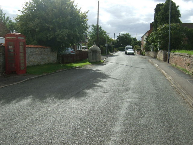
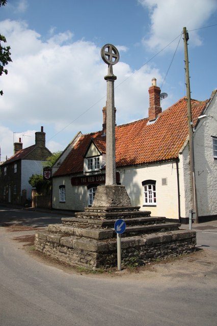
Rowston Images
Images are sourced within 2km of 53.092909/-0.382718 or Grid Reference TF0856. Thanks to Geograph Open Source API. All images are credited.


Rowston is located at Grid Ref: TF0856 (Lat: 53.092909, Lng: -0.382718)
Division: Parts of Kesteven
Administrative County: Lincolnshire
District: North Kesteven
Police Authority: Lincolnshire
What 3 Words
///rant.guises.dusts. Near Ruskington, Lincolnshire
Related Wikis

Rowston
Rowston is a village and civil parish in the North Kesteven district of Lincolnshire, England, situated approximately 6 miles (10 km) north from the town...

Digby railway station
Digby railway station was a railway station in Digby, Lincolnshire, which was open between 1882 and 1961. == History == The railway line between Sleaford...

Kirkby Green
Kirkby Green is a small village in the North Kesteven district of Lincolnshire, England. The village lies east from Scopwick on the B1191 road to Timberland...
Digby, Lincolnshire
Digby is a small village and civil parish in the district of North Kesteven, Lincolnshire, England. The village is in the vale of the Digby Beck watercourse...

Scopwick and Timberland railway station
Scopwick and Timberland railway station was a station in Scopwick, Lincolnshire, which was open between 1882 and 1955. == History == The railway line between...

Scopwick
Scopwick is a small village and civil parish in the district of North Kesteven, Lincolnshire, England, situated 6 miles (9.7 km) south from Lincoln. The...

Bloxholm
Bloxholm is a hamlet, and part of the civil parish of Ashby de la Launde and Bloxholm, in the North Kesteven district of Lincolnshire, England. It is situated...

RAF Digby
Royal Air Force Digby otherwise known as RAF Digby is a Royal Air Force station located near Scopwick and 11.6 mi (18.7 km) south east of Lincoln, in Lincolnshire...
Nearby Amenities
Located within 500m of 53.092909,-0.382718Have you been to Rowston?
Leave your review of Rowston below (or comments, questions and feedback).