Rowington Green

Settlement in Warwickshire Warwick

England

Rowington Green

Grand Union Canal near Turner's Green
Grand Union Canal near Turner's Green Credit: Mark Percy

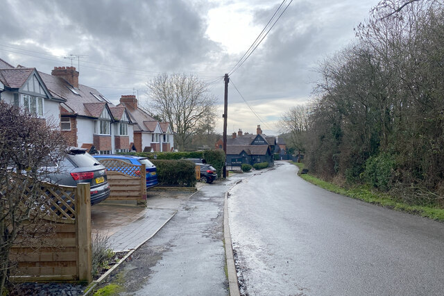
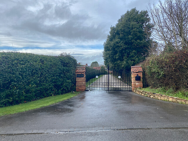
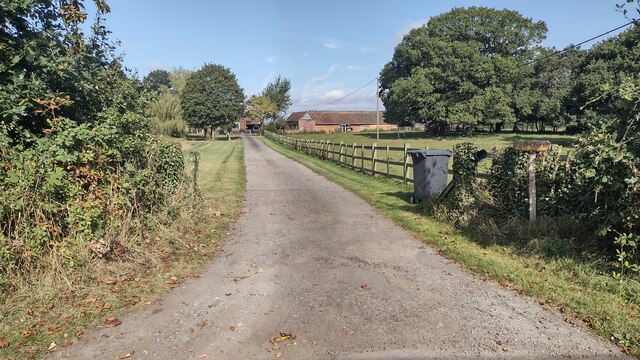
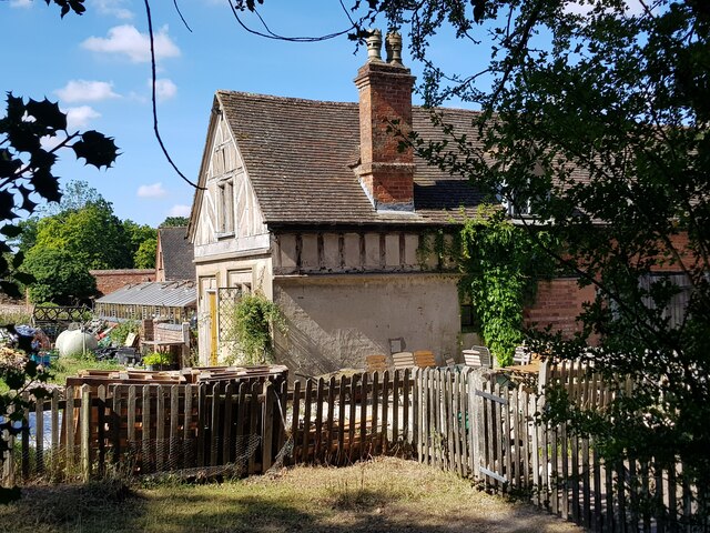
Rowington Green is a small village located in the county of Warwickshire, England. Situated approximately five miles northwest of the town of Warwick, it is nestled in the picturesque countryside of the West Midlands region. The village is known for its serene and idyllic setting, with rolling green fields and charming cottages dotting the landscape.

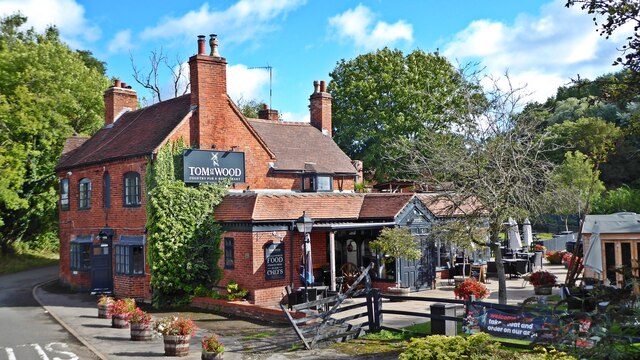
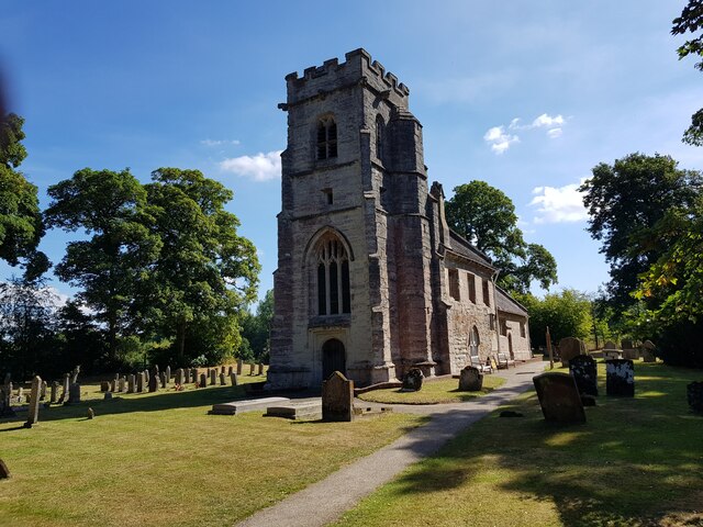
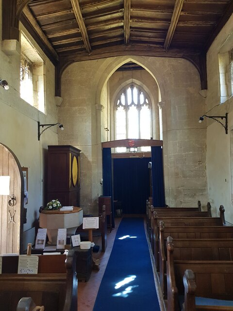
The village is home to a close-knit community of residents who enjoy the peace and tranquility that Rowington Green offers. The local population is relatively small, with a handful of shops, a post office, and a village hall serving as the main amenities for residents. The village also boasts a historic church, St. Laurence's, which dates back to the 12th century and is a prominent feature of the local landscape.

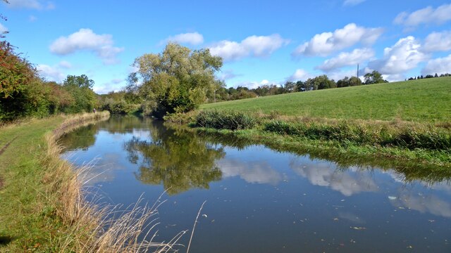
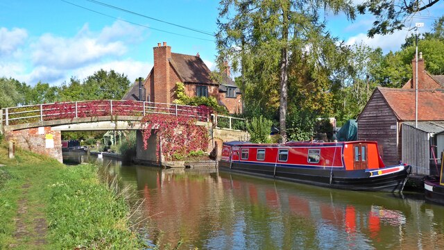
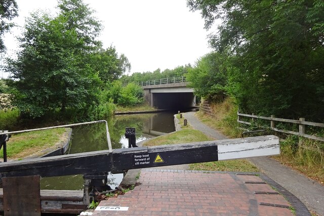
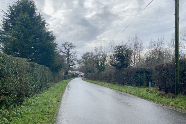
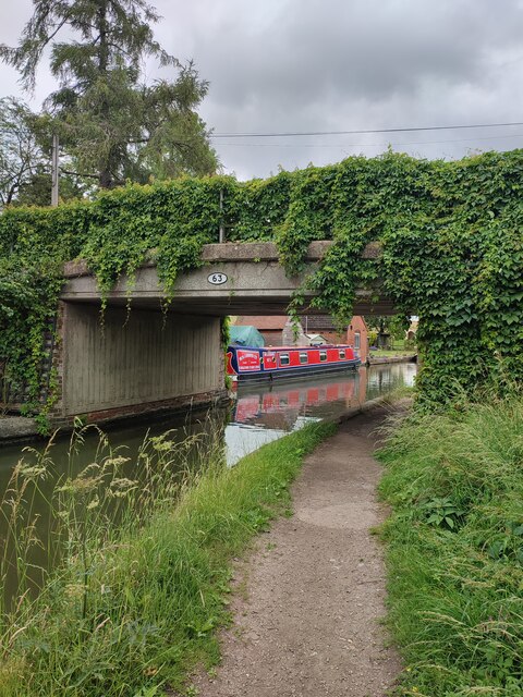
Rowington Green is surrounded by beautiful countryside, making it a popular destination for outdoor enthusiasts. The area offers numerous walking and cycling routes, allowing visitors to explore the stunning natural scenery and discover hidden gems along the way. Additionally, the nearby Grand Union Canal provides opportunities for boating and fishing.

Despite its rural location, Rowington Green is conveniently located close to major transport links. The M40 motorway is easily accessible, providing connections to nearby towns and cities such as Birmingham and Coventry. The village also benefits from good public transport links, with regular bus services connecting it to surrounding areas.

Overall, Rowington Green offers a peaceful and picturesque setting for residents and visitors alike, with its charming village atmosphere and stunning natural surroundings.

If you have any feedback on the listing, please let us know in the comments section below.

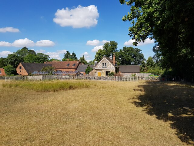
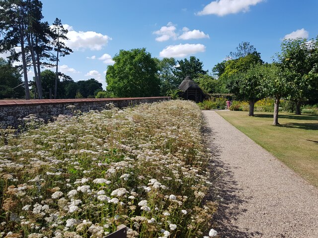
Rowington Green Images

Images are sourced within 2km of 52.327157/-1.706789 or Grid Reference SP2069. Thanks to Geograph Open Source API. All images are credited.

Grand Union Canal near Turner's Green
Tom O'The Wood country pub and restaurant
Grand Union Canal at Turner's Green
Kingswood-Stratford Canal M40 Motorway Bridge.
Kingswood-Stratford Canal
M40 Motorway Bridge.
Approaching Turner's Green Finwood Road drops down into the canalside hamlet.
Approaching Turner's Green
Finwood Road drops down into the canalside hamlet.
Southwest on Finwod Road Finwood Road turns south from the Old Warwick Road for Turner's Green, ahead, and Lowsonford.
Southwest on Finwod Road
Finwood Road turns south from the Old Warwick Road for Turner's Green, ahead, and Lowsonford.
Gates to Windmill Cottage, Turner's Green An entrance on Finwood Road. Old maps show Windmill House here and a circular feature where a windmill  might have been. This is the same relatively high ground as the Rowington Mill site <a href="https://www.geograph.org.uk/photo/7378320">SP2070 : Rowington Mill, Rowington Green</a>.
Gates to Windmill Cottage, Turner's Green
An entrance on Finwood Road. Old maps show Windmill House here and a circular feature where a windmill might have been. This is the same relatively high ground as the Rowington Mill site SP2070 : Rowington Mill, Rowington Green.
Turner's Green Bridge
Path up to Green Farm Path and drive up to Green Farm
Path up to Green Farm
Path and drive up to Green Farm
St Michael's, Baddesley Clinton, Warwickshire  Next to but not part of the National Trust property.
St Michael's, Baddesley Clinton, Warwickshire
Next to but not part of the National Trust property.
St Michael's Church, Baddesley Clinton (interior 1)
The Cottage, Baddesley Clinton
St Michael's Church, Baddesley Clinton (interior 2)
Tomb for Sir Edward Ferrers and family In St Michael's Church, Baddesley Clinton. The family owned Baddesley Clinton for generations.
Tomb for Sir Edward Ferrers and family
In St Michael's Church, Baddesley Clinton. The family owned Baddesley Clinton for generations.
The Ferrer's memorial in St Michael's Church, Baddesley Clinton
Mini organ, St Michael's Church, Baddesley Clinton
Cottage and barn, Baddesley Clinton
Wildflowers in the walled garden, Baddesley Clinton This flower bed used to be full of Dahlias <a href="https://www.geograph.org.uk/photo/4132107">SP1971 : Baddesley Clinton Garden</a> but pests in the soil has made it impossible to grow them. Attempts to convert to natural flowers is proving problematic with one species dominating.
Wildflowers in the walled garden, Baddesley Clinton
This flower bed used to be full of Dahlias SP1971 : Baddesley Clinton Garden but pests in the soil has made it impossible to grow them. Attempts to convert to natural flowers is proving problematic with one species dominating.
Show me another place!

Rowington Green is located at Grid Ref: SP2069 (Lat: 52.327157, Lng: -1.706789)

Administrative County: Warwickshire

District: Warwick

Police Authority: Warwickshire

What 3 Words

///explained.cork.taps. Near Wroxall, Warwickshire

Nearby Locations

Rowington Rowington Green

Related Wikis

Rowington

Rowington is a village and civil parish in the English county of Warwickshire. It is five miles north-west of the town of Warwick and five miles south...
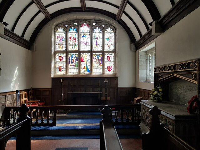
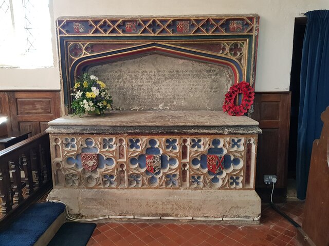
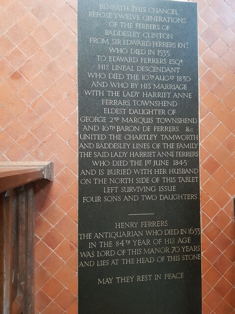
Baddesley Clinton

Baddesley Clinton (grid reference SP199714) is a moated manor house, about 8 miles (13 km) north-west of the town of Warwick, in the village of Baddesley...

Kingswood Junction

Kingswood Junction (grid reference SP185709) is a canal junction where the Stratford-upon-Avon Canal meets the Grand Union Canal at Kingswood, Warwickshire...

Kingswood, Warwickshire

Kingswood is an area in the civil parishes of Lapworth and Rowington in Warwick District, Warwickshire, England. It forms the main residential area of...

Nearby Amenities

Located within 500m of 52.327157,-1.706789
Post Box
Collection Times: Mo-Fr 15:45; Sa 07:15
Operator: Royal Mail
Operator Wikidata: Q638098
Post Box Type: lamp
Ref: CV35 165
Royal Cypher: EIIR
Royal Cypher Wikidata: Q33102113
Source: survey
Lat/Long: 52.3285755/-1.7098144
Bus Stop
Rowington Green
Bus: yes
Naptan AtcoCode: 4200F054901
Naptan Bearing: S
Naptan CommonName: Rowington Green
Naptan Indicator: Adj
Naptan NaptanCode: wardgadt
Naptan Street: Old Warwick Road
Naptan Verified: no
Public Transport: platform
Source: naptan_import
Lat/Long: 52.3286686/-1.7099161
Rowington Green
Place: hamlet
Lat/Long: 52.3277703/-1.7070784
Bench
Backrest: yes
Material: wood
Lat/Long: 52.328979/-1.7102378
Give Way
Direction: backward
Lat/Long: 52.3288214/-1.7099609
Give Way
Direction: forward
Lat/Long: 52.3287359/-1.7102792
The data included in this document is from www.openstreetmap.org. The data is made available under ODbL.

Have you been to Rowington Green?

Leave your review of Rowington Green below (or comments, questions and feedback).