Rough Common

Settlement in Kent Canterbury

England

Rough Common

University of Kent at Canterbury A road on the northern side of the campus site.
University of Kent at Canterbury Credit: Jim Barton

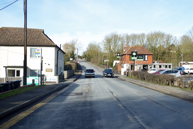
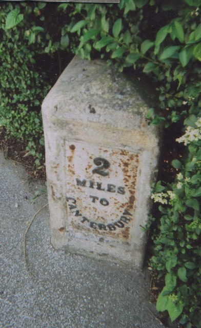
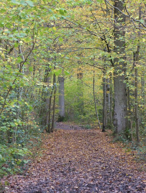
Rough Common is a small village located in the county of Kent, England. Situated approximately 3 miles northeast of the historic city of Canterbury, it lies within the civil parish of Blean. The village is surrounded by picturesque countryside and offers a peaceful and rural setting.

The origins of the name "Rough Common" can be traced back to the Old English word "ruh," meaning rough or uncultivated land, and "cumb," referring to a small valley. This reflects the village's rural and agricultural history, with farmland and fields still dominating the landscape.

Despite its small size, Rough Common boasts a close-knit community and a charming village atmosphere. It is primarily a residential area, with a mix of traditional cottages and more modern homes. The village also has a local pub, The Old Coach and Horses, which serves as a social hub for residents and visitors alike.

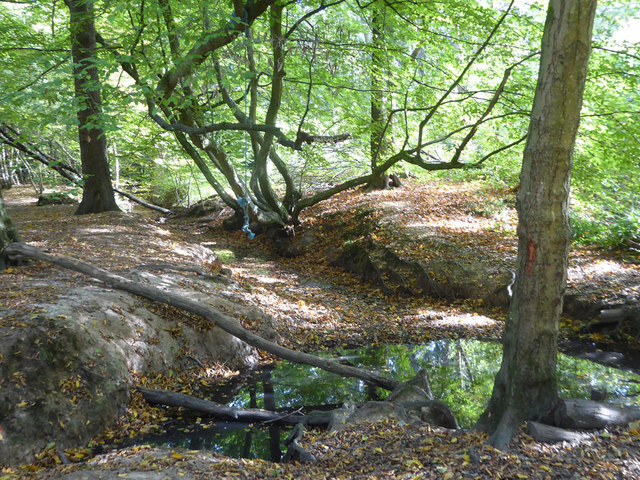
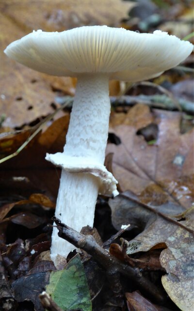
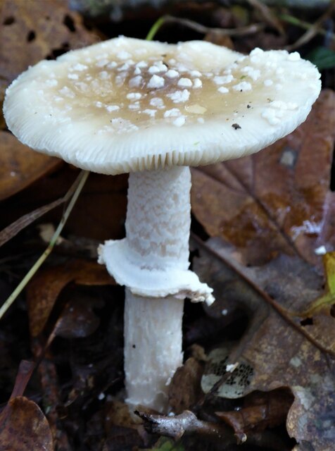
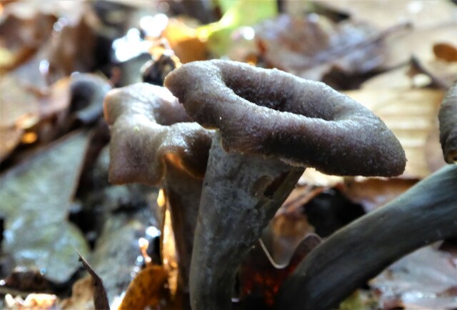
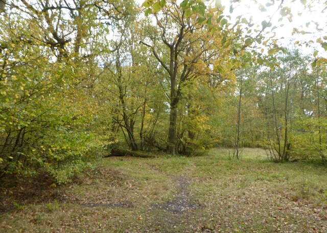
For those seeking outdoor activities, Rough Common offers easy access to the beautiful Kent countryside. The nearby Blean Woods, which is a designated Site of Special Scientific Interest, provides opportunities for walking, cycling, and wildlife spotting.

The village benefits from its close proximity to Canterbury, a city renowned for its rich history and cultural heritage. Residents of Rough Common have the advantage of enjoying the tranquility of village life while still being able to access the amenities and attractions of a vibrant city.

In conclusion, Rough Common is a delightful village nestled in the idyllic Kent countryside, offering a peaceful rural lifestyle within easy reach of the bustling city of Canterbury.

If you have any feedback on the listing, please let us know in the comments section below.
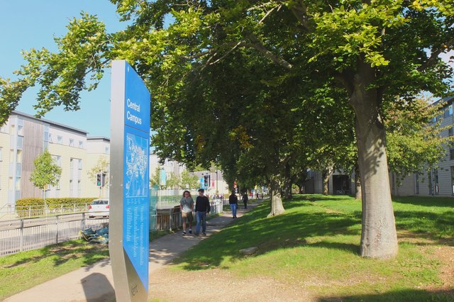
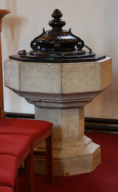
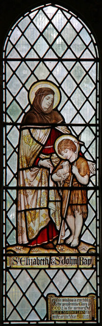
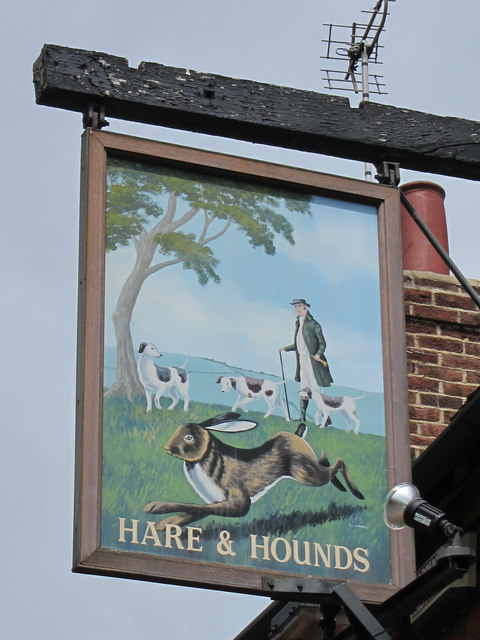
Rough Common Images

Images are sourced within 2km of 51.291193/1.050679 or Grid Reference TR1259. Thanks to Geograph Open Source API. All images are credited.

University of Kent at Canterbury A road on the northern side of the campus site.
University of Kent at Canterbury
A road on the northern side of the campus site.
A290 past the Blean Tavern Heading towards Whitstable.
A290 past the Blean Tavern
Heading towards Whitstable.
Calais Hill is closed Blean was accessible via a diversion route further up the road at Tyler Hill.
Calais Hill is closed
Blean was accessible via a diversion route further up the road at Tyler Hill.
Stream in Blean Woods Currently running dry, but with a pool at the culvert outlet under one of the woodland tracks.
Stream in Blean Woods
Currently running dry, but with a pool at the culvert outlet under one of the woodland tracks.
Old Milestone by the A290, Tile Kiln Hill, Blean Metal plate attached to stone post by the A290, in parish of ST COSMUS AND ST DAMIAN IN THE BLEAN (CANTERBURY District), Tile Kiln Hill, opposite No. 32, by No. 27, in domestic hedge at back of tarmac footpath, on West side of road. Whitstable iron plate, erected by the Whitstable turnpike trust in the 19th century. 

Inscription reads:- : 4½ / MILES / TO / WHITSTABLE : : 2 / MILES / TO / CANTERBURY : 
Carved benchmark and rivet on top.

Milestone Society National ID: KE_CYWS02.
Old Milestone by the A290, Tile Kiln Hill, Blean
Metal plate attached to stone post by the A290, in parish of ST COSMUS AND ST DAMIAN IN THE BLEAN (CANTERBURY District), Tile Kiln Hill, opposite No. 32, by No. 27, in domestic hedge at back of tarmac footpath, on West side of road. Whitstable iron plate, erected by the Whitstable turnpike trust in the 19th century. Inscription reads:- : 4½ / MILES / TO / WHITSTABLE : : 2 / MILES / TO / CANTERBURY : Carved benchmark and rivet on top. Milestone Society National ID: KE_CYWS02.
Fungus in Blean Woods Part of the RSPB Blean Woods Nature Reserve.
Fungus in Blean Woods
Part of the RSPB Blean Woods Nature Reserve.
Fungus in Blean Woods Part of the RSPB Blean Woods Nature Reserve.
Fungus in Blean Woods
Part of the RSPB Blean Woods Nature Reserve.
Fungus in Blean Woods This is a chanterelle fungus known as Horn-of-Plenty, an uncommon fungus supposed to be edible but it doesn't look appetising.
Fungus in Blean Woods
This is a chanterelle fungus known as Horn-of-Plenty, an uncommon fungus supposed to be edible but it doesn't look appetising.
Path in Blean Woods Part of the RSPB Blean Woods Nature Reserve.
Path in Blean Woods
Part of the RSPB Blean Woods Nature Reserve.
RSPB Blean Woods Nature Reserve
St Cosmus & St Damian, Blean
St Cosmus & St Damian, Blean - Chancel
St Cosmus & St Damian, Blean - Font
St Cosmus & St Damian, Blean - Stained glass window
St Cosmus & St Damian, Blean - East end
Show me another place!

Rough Common is located at Grid Ref: TR1259 (Lat: 51.291193, Lng: 1.050679)

Administrative County: Kent

District: Canterbury

Police Authority: Kent

What 3 Words

///shows.down.mount. Near Blean, Kent

Nearby Locations

Stock Wood Rough Common

Related Wikis

Rough Common

Rough Common is a village in Canterbury in the parrish of Harbledown, Kent, England. It forms part of the civil parish of Harbledown and Rough Common...

Kent College

Kent College, Canterbury is a co-educational private school for boarding and day pupils between the ages of 3 months and 18 years. It was founded in 1885...

St Edmund's School Canterbury

St Edmund's School Canterbury is a private day and boarding school located in Canterbury, Kent, England and established in 1749. The extensive school grounds...

Harbledown

Harbledown is a village in Kent, England, immediately west of Canterbury and contiguous with the city. At local government level the village is designated...

Canterbury (UK Parliament constituency)

Canterbury is a constituency in Kent represented in the House of Commons of the UK Parliament since 2017 by Rosie Duffield of the Labour Party.The seat...

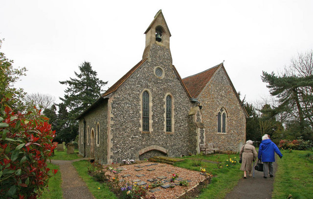
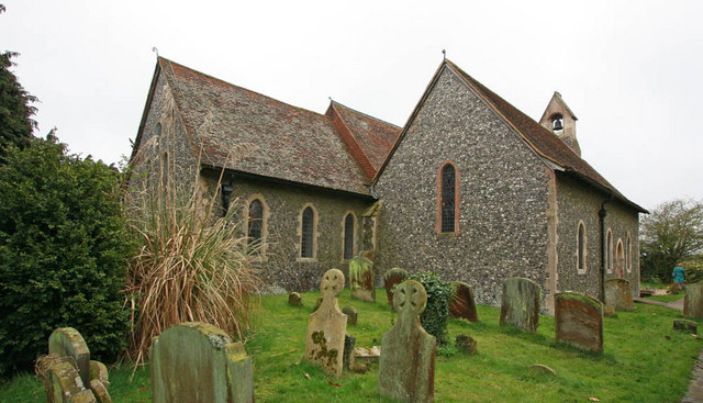
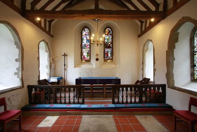
St Michael and All Angels Church, Harbledown

The Church of St Michael and All Angels is a Norman stone church in the village of Harbledown, near Canterbury, England. A part of the Church of England...

Chaucer College

Chaucer College Canterbury is an independent college for Japanese university and high school students. It was founded in 1992 by Hiroshi Kawashima, the...

Fifteenth Lambeth Conference

The fifteenth Lambeth Conference was an assembly of bishops of the Anglican Communion convened by the archbishop of Canterbury, Justin Welby, between 27...

Nearby Amenities

Located within 500m of 51.291193,1.050679
Mini Roundabout
Direction: clockwise
Lat/Long: 51.2951551/1.0532961
Crossing
Crossing Ref: zebra
Lat/Long: 51.2947838/1.0525957
Rough Common
Is In: Kent, England, UK
Place: village
Source: NPE maps
Wikidata: Q7370806
Lat/Long: 51.2915964/1.047419
Post Box
Post Box Type: lamp
Postal Code: CT2
Ref: CT2 53
Source: survey
Lat/Long: 51.2914381/1.0479177
Rough Common Stores
Addr City: Canterbury
Addr Country: GB
Addr Housenumber: 77
Addr Postcode: CT2 9DA
Addr Street: Rough Common Road
Addr Village: Rough Common
Fhrs Id: 1102178;1675751
Shop: convenience
Wheelchair: limited
Lat/Long: 51.2913192/1.0479302
kentunilet.com
Addr City: Canterbury
Addr Country: GB
Addr Housenumber: 88
Addr Postcode: CT2 9DE
Addr Street: Rough Common Road
Addr Village: Rough Common
Contact Phone: +44 1227 464444
Contact Website: http://www.kentunilet.com/
Office: estate_agent
Lat/Long: 51.2910915/1.047585
Public Building
Rough Common Village Hall
Lat/Long: 51.2887278/1.0462881
Bus Stop
Bench: no
Naptan AtcoCode: 2400A050370A
Naptan NaptanCode: kntgatmd
Ref: KNTGATMD
Shelter: yes
Lat/Long: 51.2923972/1.0482587
Bus Stop
Bus: yes
Public Transport: platform
Ref: KNTGATMG
Shelter: no
Lat/Long: 51.2936537/1.0502988
Post Box
Check Date: 2021-05-16
Collection Times: Mo-Fr 09:00, Sa 07:00
Mapillary: 334728991591956
Post Box Type: pillar
Postal Code: CT2
Ref: CT2 25
Royal Cypher: EIIR
Royal Cypher Wikidata: Q33102113
Source: survey
Survey Date: 2021-07-17
Lat/Long: 51.2948871/1.053163
Crossing
Button Operated: yes
Crossing: traffic_signals
Crossing Island: no
Crossing Ref: toucan
Lat/Long: 51.2932665/1.0568328
Bus Stop
Rough Common Turn
Bench: yes
Bin: yes
Bus: yes
Flag: yes
Naptan AtcoCode: 2400A048210A
Naptan Bearing: SE
Naptan CommonName: Rough Common Turn
Naptan Indicator: SE-bound
Naptan Landmark: Kent College
Naptan NaptanCode: kntgagdj
Naptan PlusbusZoneRef: CNTBE
Naptan Street: Whitstable Road
Naptan Verified: no
Public Transport: platform
Ref: kntgagdj
Shelter: yes
Source: naptan_import
Lat/Long: 51.2946385/1.0542533
Bus Stop
Rough Common Turn
Bench: yes
Bus: yes
Naptan AtcoCode: 2400A048220A
Naptan Bearing: NW
Naptan CommonName: Rough Common Turn
Naptan Indicator: NW-bound
Naptan Landmark: Blean House
Naptan NaptanCode: kntgagdm
Naptan PlusbusZoneRef: CNTBE
Naptan Street: Whitstable Road
Naptan Verified: no
Public Transport: platform
Ref: kntgagdm
Shelter: yes
Source: naptan_import
Lat/Long: 51.2953692/1.0530236
Bus Stop
Churchwood Close
Naptan AtcoCode: 2400A050340A
Naptan Bearing: N
Naptan CommonName: Churchwood Close
Naptan Indicator: opp
Naptan Landmark: Churchwood Close
Naptan NaptanCode: kntgatjt
Naptan PlusbusZoneRef: CNTBE
Naptan Street: Rough Common Rd
Naptan Verified: no
Ref: kntgatjt
Shelter: no
Source: naptan_import
Lat/Long: 51.2896804/1.0465867
Bus Stop
Churchwood Close
Naptan AtcoCode: 2400A050350A
Naptan Bearing: S
Naptan CommonName: Churchwood Close
Naptan Indicator: adj
Naptan Landmark: Churchwood Close
Naptan NaptanCode: kntgatjw
Naptan PlusbusZoneRef: CNTBE
Naptan Street: Rough Common Rd
Naptan Verified: no
Ref: kntgatjw
Shelter: yes
Source: naptan_import
Lat/Long: 51.2898566/1.046953
Bus Stop
Lovell Road
Bench: no
Bin: no
Naptan AtcoCode: 2400A050360A
Naptan Bearing: S
Naptan CommonName: Lovell Road
Naptan Indicator: adj
Naptan Landmark: Rough Common Rd
Naptan NaptanCode: kntgatma
Naptan PlusbusZoneRef: CNTBE
Naptan Street: Rough Common Rd
Naptan Verified: no
Ref: kntgatma
Shelter: no
Source: naptan_import
Lat/Long: 51.292068/1.0482487
Bus Stop
Ravenscourt Road
Bus: yes
Naptan AtcoCode: 2400A050380A
Naptan Bearing: SW
Naptan CommonName: Ravenscourt Road
Naptan Indicator: adj
Naptan Landmark: Rough Common Road
Naptan NaptanCode: kntgatmg
Naptan PlusbusZoneRef: CNTBE
Naptan Street: Rough Common Road
Naptan Verified: no
Public Transport: platform
Ref: kntgatmj
Shelter: no
Source: naptan_import
Lat/Long: 51.2938407/1.0505971
Bus Stop
Rough Common Turn
Bench: no
Bin: no
Bus: yes
Naptan AtcoCode: 2400A050400A
Naptan Bearing: SW
Naptan CommonName: Rough Common Turn
Naptan Indicator: SW-bound
Naptan NaptanCode: kntgatmp
Naptan PlusbusZoneRef: CNTBE
Naptan Street: Rough Common Road
Naptan Verified: no
Public Transport: platform
Ref: kntgatmp
Shelter: no
Source: naptan_import
Lat/Long: 51.294535/1.0522014
Barrier: bollard
Lat/Long: 51.2948498/1.0536886
Place Of Worship
Denomination: methodist
Religion: christian
Source: OS_OpenData_StreetView
Lat/Long: 51.2936322/1.0554509
Communication Microwave: yes
Communication Mobile Phone: yes
Man Made: water_tower
Lat/Long: 51.2914903/1.0575276
Barrier: bollard
Lat/Long: 51.2885161/1.0549367
Bicycle Parking
Access: private
Bicycle Parking: stands
Capacity: 10
Covered: yes
Lat/Long: 51.2939988/1.0548457
Barrier: stile
Lat/Long: 51.2913377/1.0540346
Barrier: stile
Lat/Long: 51.2926109/1.0456312
Barrier: cycle_barrier
Lat/Long: 51.2941521/1.0550388
Generator Method: photovoltaic
Generator Orientation: 223
Generator Output Electricity: yes
Generator Solar Modules: 16
Generator Source: solar
Generator Type: solar_photovoltaic_panel
Location: roof
Power: generator
Lat/Long: 51.2893841/1.0485291
Generator Method: photovoltaic
Generator Orientation: 201
Generator Output Electricity: yes
Generator Solar Modules: 5
Generator Source: solar
Generator Type: solar_photovoltaic_panel
Location: roof
Power: generator
Lat/Long: 51.2893489/1.0472765
Generator Method: photovoltaic
Generator Output Electricity: yes
Generator Source: solar
Generator Type: solar_photovoltaic_panel
Location: roof
Power: generator
Lat/Long: 51.2920763/1.0486472
Generator Method: photovoltaic
Generator Output Electricity: yes
Generator Source: solar
Generator Type: solar_photovoltaic_panel
Location: roof
Power: generator
Lat/Long: 51.2921518/1.0462627
Generator Method: photovoltaic
Generator Orientation: 213
Generator Output Electricity: yes
Generator Solar Modules: 16
Generator Source: solar
Generator Type: solar_photovoltaic_panel
Location: roof
Power: generator
Lat/Long: 51.2933041/1.0467803
Generator Method: photovoltaic
Generator Orientation: 117
Generator Output Electricity: yes
Generator Solar Modules: 16
Generator Source: solar
Generator Type: solar_photovoltaic_panel
Location: roof
Power: generator
Lat/Long: 51.295378/1.0489251
Generator Method: photovoltaic
Generator Orientation: 195
Generator Output Electricity: yes
Generator Solar Modules: 16
Generator Source: solar
Generator Type: solar_photovoltaic_panel
Location: roof
Power: generator
Lat/Long: 51.2953218/1.0491353
Generator Method: photovoltaic
Generator Orientation: 195
Generator Output Electricity: yes
Generator Solar Modules: 11
Generator Source: solar
Generator Type: solar_photovoltaic_panel
Location: roof
Power: generator
Lat/Long: 51.2952505/1.0500292
Generator Method: photovoltaic
Generator Orientation: 196
Generator Output Electricity: yes
Generator Solar Modules: 14
Generator Source: solar
Generator Type: solar_photovoltaic_panel
Location: roof
Power: generator
Lat/Long: 51.2912963/1.0456914
Generator Method: photovoltaic
Generator Orientation: 201
Generator Output Electricity: yes
Generator Solar Modules: 14
Generator Source: solar
Generator Type: solar_photovoltaic_panel
Location: roof
Power: generator
Lat/Long: 51.2894814/1.0476252
Generator Method: photovoltaic
Generator Orientation: 112
Generator Output Electricity: yes
Generator Solar Modules: 4
Generator Source: solar
Generator Type: solar_photovoltaic_panel
Location: roof
Power: generator
Lat/Long: 51.2883743/1.046142
Generator Method: photovoltaic
Generator Orientation: 202
Generator Output Electricity: yes
Generator Solar Modules: 8
Generator Source: solar
Generator Type: solar_photovoltaic_panel
Location: roof
Power: generator
Lat/Long: 51.2883642/1.0460588
Generator Method: photovoltaic
Generator Orientation: 146
Generator Output Electricity: yes
Generator Solar Modules: 16
Generator Source: solar
Generator Type: solar_photovoltaic_panel
Location: roof
Power: generator
Lat/Long: 51.2942517/1.0495806
Generator Method: photovoltaic
Generator Orientation: 146
Generator Output Electricity: yes
Generator Solar Modules: 12
Generator Source: solar
Generator Type: solar_photovoltaic_panel
Location: roof
Power: generator
Lat/Long: 51.2937418/1.0486874
Generator Method: photovoltaic
Generator Output Electricity: yes
Generator Source: solar
Generator Type: solar_photovoltaic_panel
Location: roof
Power: generator
Lat/Long: 51.2919597/1.0500513
Generator Method: photovoltaic
Generator Output Electricity: yes
Generator Source: solar
Generator Type: solar_photovoltaic_panel
Location: roof
Power: generator
Lat/Long: 51.292987/1.0529494
Generator Method: photovoltaic
Generator Output Electricity: yes
Generator Source: solar
Generator Type: solar_photovoltaic_panel
Location: roof
Power: generator
Lat/Long: 51.2934563/1.0533802
Generator Method: photovoltaic
Generator Output Electricity: yes
Generator Source: solar
Generator Type: solar_photovoltaic_panel
Location: roof
Power: generator
Lat/Long: 51.2934548/1.0534285
Generator Method: photovoltaic
Generator Output Electricity: yes
Generator Source: solar
Generator Type: solar_photovoltaic_panel
Location: roof
Power: generator
Lat/Long: 51.2933519/1.0523863
Barrier: bollard
Lat/Long: 51.2948498/1.0536886
Generator Method: photovoltaic
Generator Output Electricity: yes
Generator Source: solar
Generator Type: solar_photovoltaic_panel
Location: roof
Power: generator
Lat/Long: 51.2924025/1.0507299
Generator Method: photovoltaic
Generator Output Electricity: yes
Generator Source: solar
Generator Type: solar_photovoltaic_panel
Location: roof
Power: generator
Lat/Long: 51.2923799/1.0496074
Generator Method: photovoltaic
Generator Output Electricity: yes
Generator Source: solar
Generator Type: solar_photovoltaic_panel
Location: roof
Power: generator
Lat/Long: 51.2923975/1.0496677
Generator Method: photovoltaic
Generator Output Electricity: yes
Generator Source: solar
Generator Type: solar_photovoltaic_panel
Location: roof
Power: generator
Lat/Long: 51.2916704/1.0510504
Generator Method: photovoltaic
Generator Output Electricity: yes
Generator Source: solar
Generator Type: solar_photovoltaic_panel
Location: roof
Power: generator
Lat/Long: 51.2896516/1.0474147
The data included in this document is from www.openstreetmap.org. The data is made available under ODbL.

Have you been to Rough Common?

Leave your review of Rough Common below (or comments, questions and feedback).