Blackmarstone
Settlement in Herefordshire
England
Blackmarstone
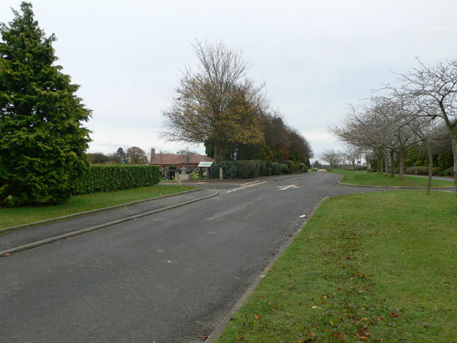
Blackmarstone is a small village located in the county of Herefordshire, England. Situated approximately 4 miles east of the city of Hereford, it is a rural community surrounded by picturesque countryside and rolling farmland. The village is nestled on the banks of the River Wye, offering stunning views and a tranquil atmosphere.
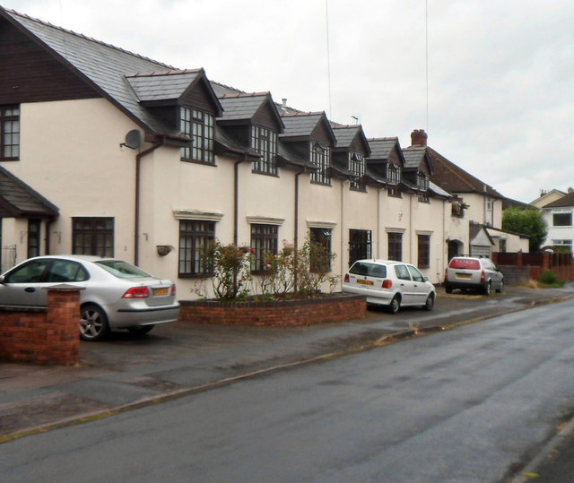
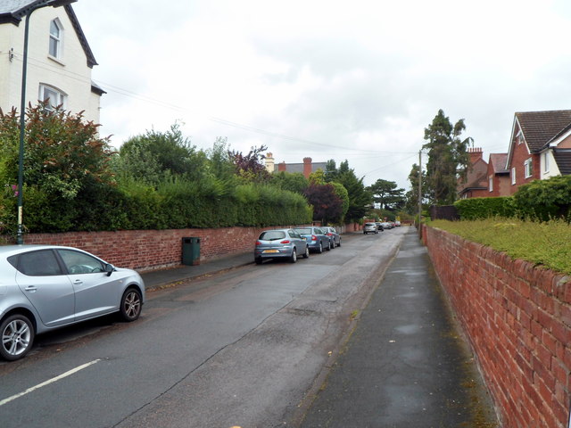
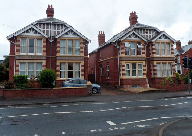
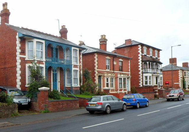
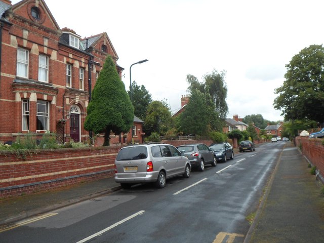
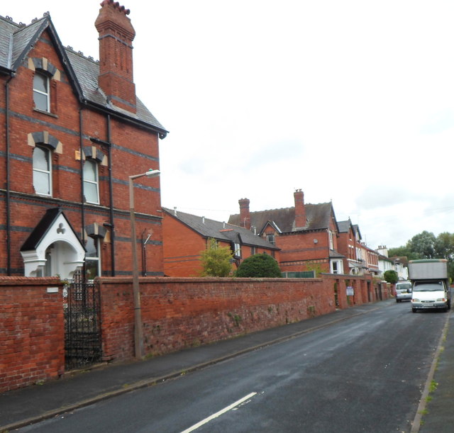
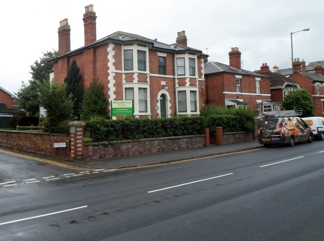
With a population of around 300 residents, Blackmarstone is known for its close-knit community and friendly atmosphere. The village is primarily residential, with a mix of traditional cottages, country houses, and modern properties. The architecture is predominantly traditional, maintaining the charm and character of the area.
Blackmarstone is well-connected to nearby towns and cities, with good transport links and access to major roads. The village benefits from a local bus service, making it convenient for residents to travel to and from Hereford and other neighboring areas.
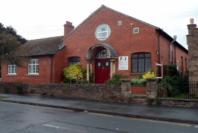
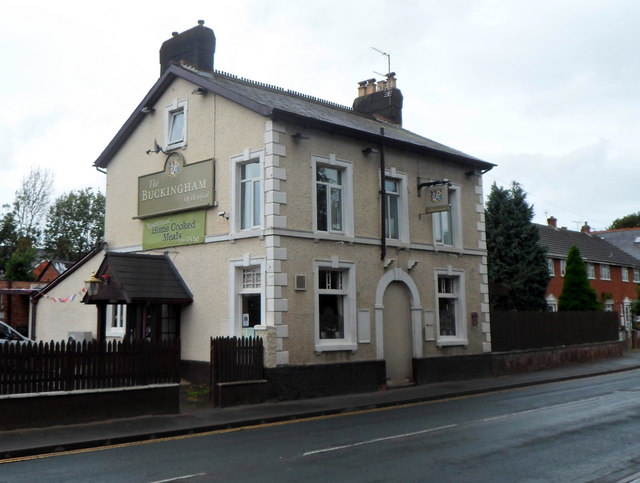
While Blackmarstone is a small village, it offers a range of amenities for its residents. There is a local village hall, serving as a hub for community events and gatherings. Additionally, there are several small businesses, including a village shop and a pub, providing essential services and a sense of community spirit.
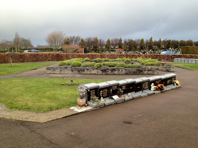
The surrounding countryside offers ample opportunities for outdoor activities, such as hiking, cycling, and fishing. The river provides a scenic spot for picnicking or simply enjoying the peaceful natural surroundings. Blackmarstone is also within close proximity to the Herefordshire countryside, renowned for its beautiful landscapes and historic landmarks.
Overall, Blackmarstone is a charming village that offers a peaceful and idyllic setting for its residents, with a strong sense of community and access to the natural beauty of Herefordshire.
If you have any feedback on the listing, please let us know in the comments section below.
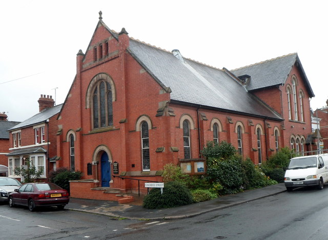
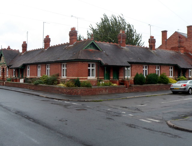
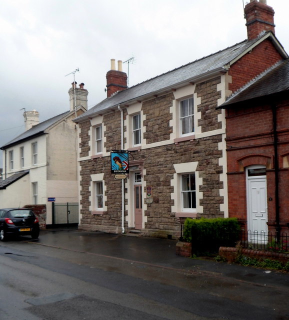
Blackmarstone Images
Images are sourced within 2km of 52.049794/-2.7188944 or Grid Reference SO5039. Thanks to Geograph Open Source API. All images are credited.

Blackmarstone is located at Grid Ref: SO5039 (Lat: 52.049794, Lng: -2.7188944)
Unitary Authority: County of Herefordshire
Police Authority: West Mercia
What 3 Words
///walks.yoga.being. Near Hereford, Herefordshire
Nearby Locations
Related Wikis
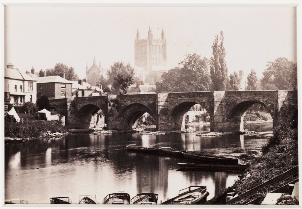
Wye Bridge, Hereford
The Wye Bridge is a Grade I listed stone bridge in Hereford, the county town of Herefordshire in England. Spanning the River Wye, it was constructed in...

Hereford Rowing Club
Hereford Rowing Club is a rowing club on the River Wye, based at 37 Greyfriars Avenue, Hereford, Herefordshire. == History == The club was founded in 1859...
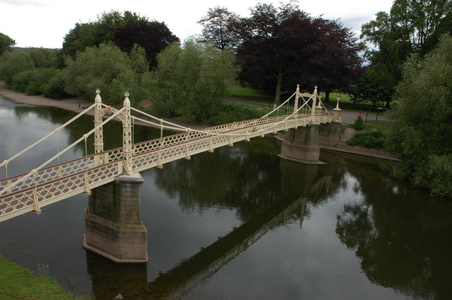
Victoria Bridge, Hereford
Victoria Bridge, Hereford is a foot-bridge in Hereford, opened in 1898 to commemorate the 1897 Diamond Jubilee of Queen Victoria. It is located on Mill...

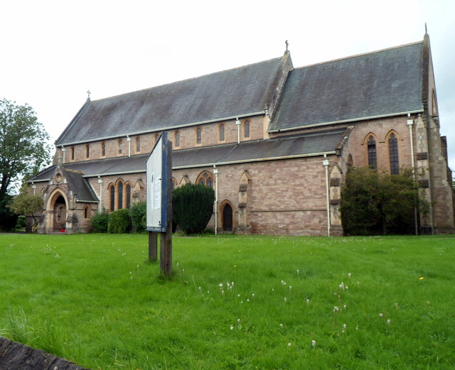
Hereford Cathedral
Hereford Cathedral is the cathedral church of the Anglican Diocese of Hereford in Hereford, England. A place of worship has existed on the site of the...
Nearby Amenities
Located within 500m of 52.049794,-2.7188944Have you been to Blackmarstone?
Leave your review of Blackmarstone below (or comments, questions and feedback).