Blackleach
Settlement in Lancashire Preston
England
Blackleach
Blackleach is a small village located in the county of Lancashire, in the northwest of England. It is situated approximately 3 miles east of the town of Wigan and lies within the Metropolitan Borough of Wigan. The village is surrounded by picturesque countryside and is known for its rural charm.
Blackleach is home to a close-knit community, with a population of around 500 residents. The village retains a tranquil atmosphere, providing a peaceful escape from the hustle and bustle of urban life. The main industries in the area include agriculture, with farming playing a significant role in the local economy.
One of the notable landmarks in Blackleach is the Blackleach Country Park, which covers an area of 50 hectares. The park is a popular attraction among locals and visitors alike, offering scenic walks, wildlife spotting opportunities, and a serene lake for fishing. It provides a haven for nature enthusiasts and is often frequented by birdwatchers due to its diverse range of bird species.
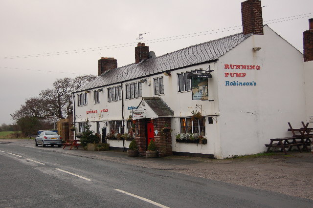
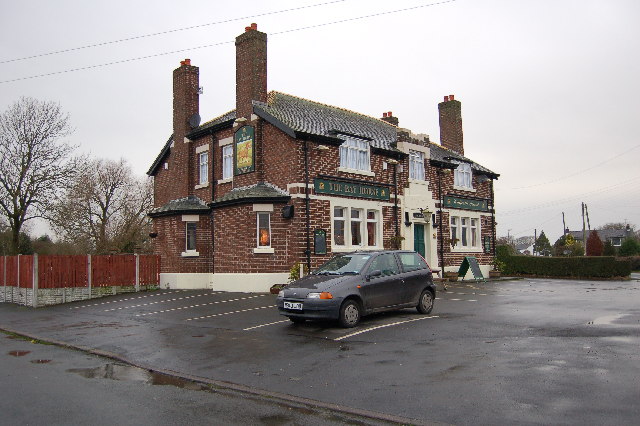
The village also boasts a small primary school, a community center, and a local pub, which serves as a social hub for residents. Although Blackleach is primarily a residential area, it benefits from its proximity to larger towns, such as Wigan, where residents can access a wider range of amenities.
Overall, Blackleach offers a tranquil lifestyle in a rural setting, with its beautiful countryside and community spirit making it an attractive place to live.
If you have any feedback on the listing, please let us know in the comments section below.
Blackleach Images
Images are sourced within 2km of 53.803316/-2.799869 or Grid Reference SD4734. Thanks to Geograph Open Source API. All images are credited.


Blackleach is located at Grid Ref: SD4734 (Lat: 53.803316, Lng: -2.799869)
Administrative County: Lancashire
District: Preston
Police Authority: Lancashire
What 3 Words
///windpipe.report.received. Near Kirkham, Lancashire
Nearby Locations
Related Wikis
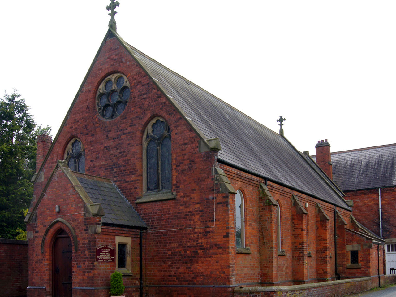
Catforth
Catforth is a village in the English civil parish of Woodplumpton and the City of Preston district, in Lancashire, England. There is a village hall and...
Salwick
Salwick is a village between Kirkham and Preston in Lancashire, England. The village is largely rural and is an extension of the smaller Clifton to the...
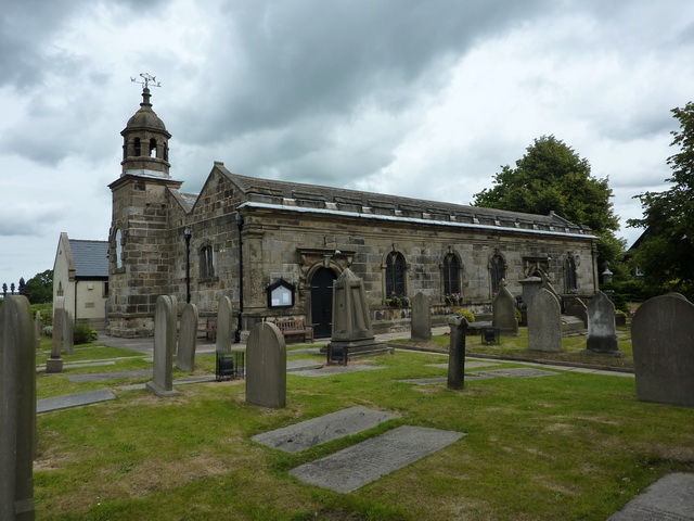
St Anne's Church, Woodplumpton
St Anne's is a church in the village of Woodplumpton in Lancashire, England. It is an active Anglican parish church in the Diocese of Blackburn, and the...
Woodplumpton
Woodplumpton is a village and civil parish in the City of Preston, Lancashire, England, located 5 miles (8 km) north of Preston. == Geography == It is...
Nearby Amenities
Located within 500m of 53.803316,-2.799869Have you been to Blackleach?
Leave your review of Blackleach below (or comments, questions and feedback).