Blacklaw

Settlement in Banffshire

Scotland

Blacklaw

Ruined Cottage A ruined cottage by the roadside at Black Law just north of Aberchirder.
Ruined Cottage Credit: Andrew Wood

Blacklaw is a small village located in the historic county of Banffshire, Scotland. Situated on the eastern coast of the country, it lies about 6 miles northeast of the town of Banff. With a population of around 500 residents, Blacklaw is known for its picturesque setting and tranquil atmosphere.

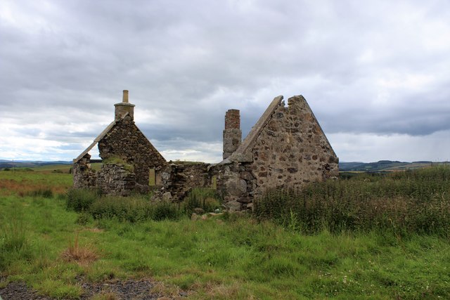
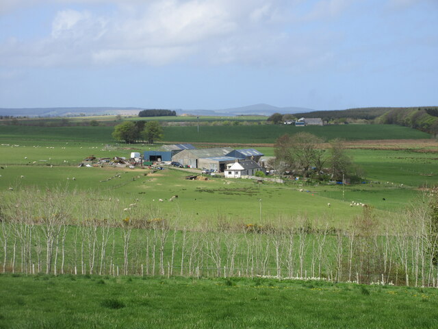
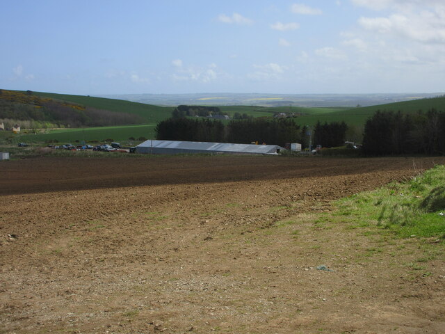
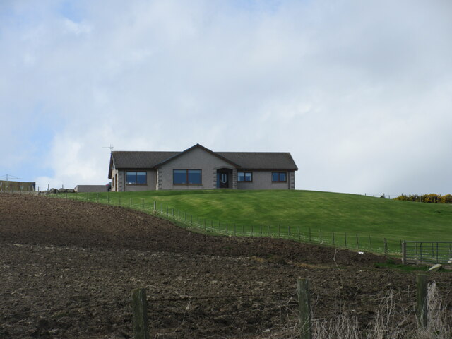
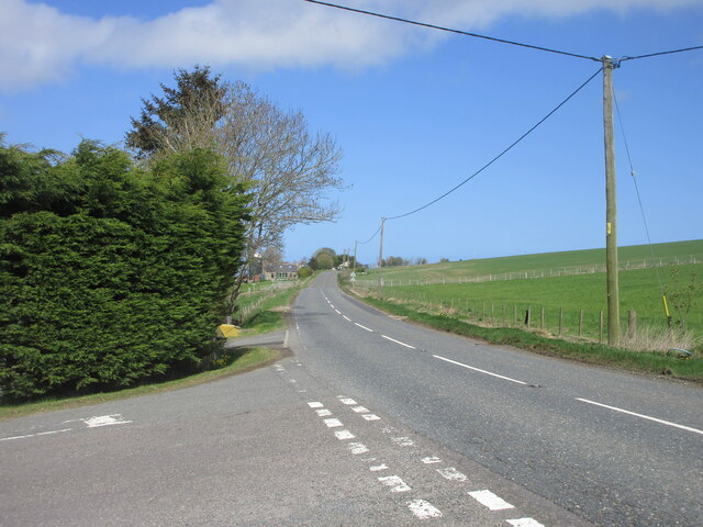
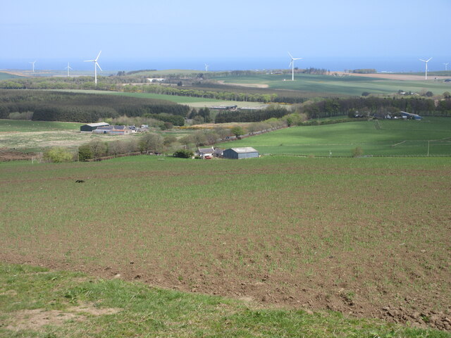
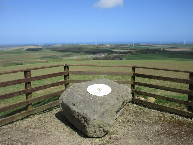
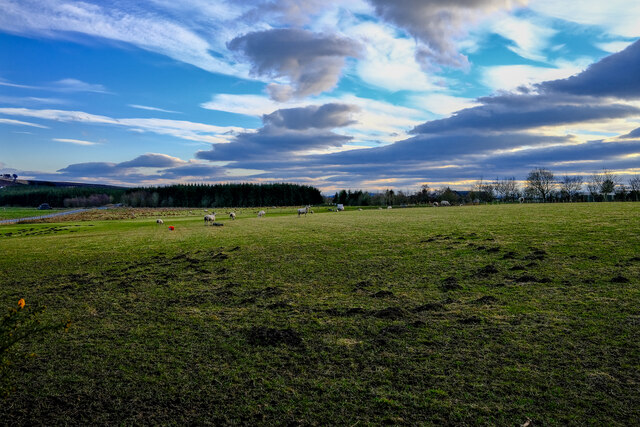
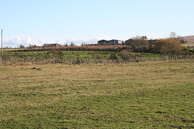
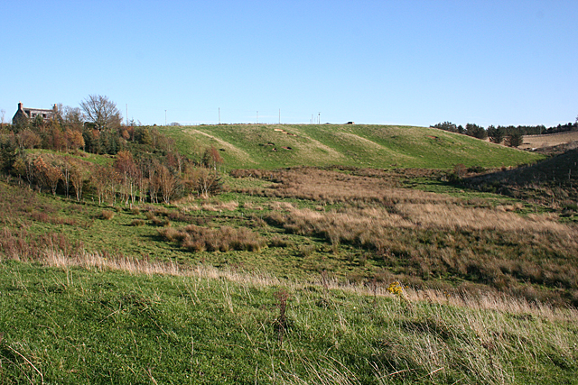
The village is characterized by its charming stone-built cottages and traditional architecture, giving it a quaint and timeless feel. The surrounding landscape is dominated by rolling hills and fertile farmland, providing a scenic backdrop to the village.

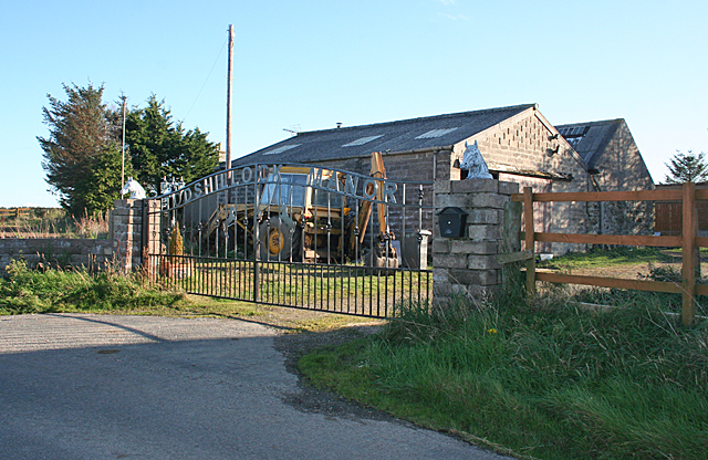
Blacklaw offers a range of amenities to its residents, including a primary school, a post office, and a local convenience store. The village also boasts a community hall, which serves as a hub for various social and cultural activities.

Despite its small size, Blacklaw has a rich history. The area has evidence of human settlement dating back to Neolithic times, with ancient burial mounds and standing stones found nearby. The village was primarily an agricultural community, with farming and fishing being the mainstays of the local economy.

Today, Blacklaw is a popular destination for tourists seeking a peaceful getaway. Visitors can enjoy leisurely walks through the surrounding countryside, exploring the nearby coastline, or simply immersing themselves in the tranquility and charm of this idyllic Scottish village.

If you have any feedback on the listing, please let us know in the comments section below.
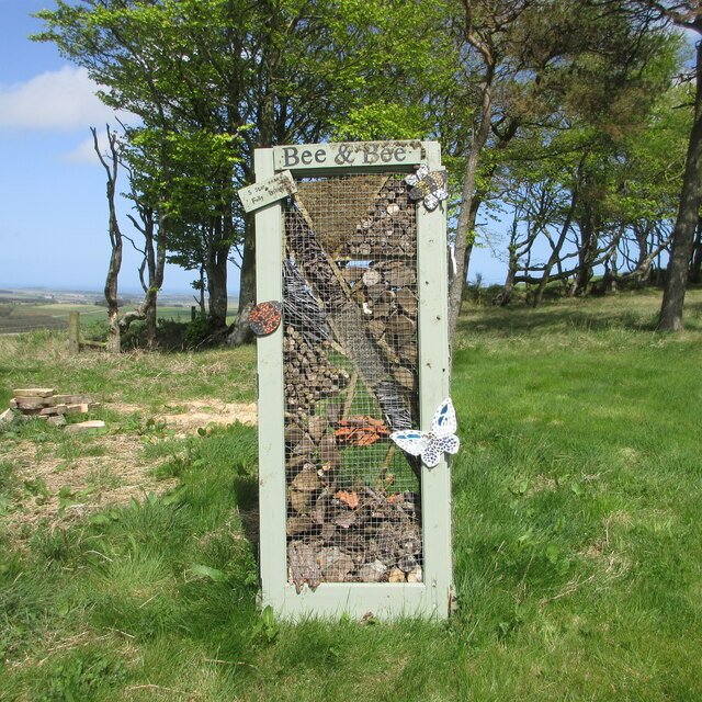
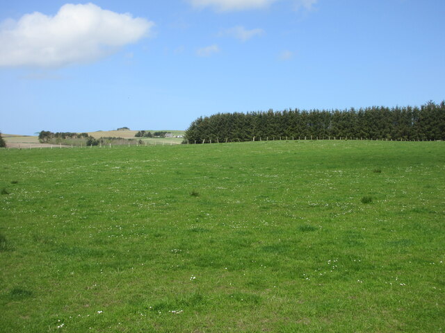
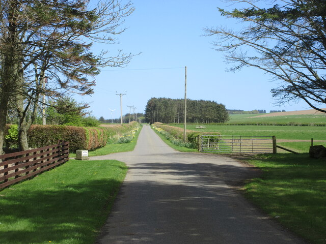
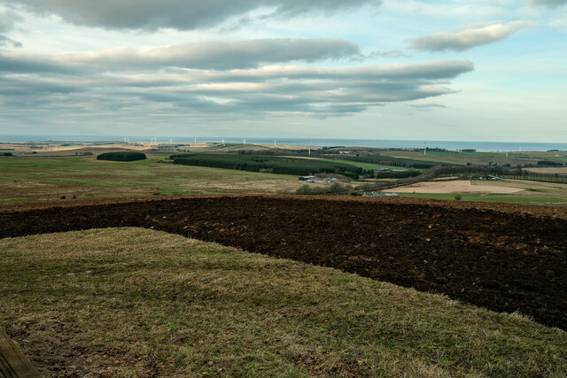
Blacklaw Images

Images are sourced within 2km of 57.593755/-2.620786 or Grid Reference NJ6256. Thanks to Geograph Open Source API. All images are credited.

Ruined Cottage A ruined cottage by the roadside at Black Law just north of Aberchirder.
Ruined Cottage
A ruined cottage by the roadside at Black Law just north of Aberchirder.
Black Law Trig Point Flush Bracket S7098
Coldhome Farm Looking westwards down from the roadside towards Coldhome.
Coldhome Farm
Looking westwards down from the roadside towards Coldhome.
Ploughed field near Deuchries Looking eastwards down a ploughed field near Deuchries, with a large shed at Pinefield beyond.
Ploughed field near Deuchries
Looking eastwards down a ploughed field near Deuchries, with a large shed at Pinefield beyond.
Rosslynlee from the east House at Rosslynlee near Deuchries perched on the hillside above the road.
Rosslynlee from the east
House at Rosslynlee near Deuchries perched on the hillside above the road.
A97 at Mossbank The northbound A97 at Mossbank near Blacklaw, three miles north of Aberchirder.
A97 at Mossbank
The northbound A97 at Mossbank near Blacklaw, three miles north of Aberchirder.
View north from the Hill of Maunderlea Looking north from the Hill of Maunderlea towards Weachyburn.
View north from the Hill of Maunderlea
Looking north from the Hill of Maunderlea towards Weachyburn.
Hill of Maunderlea Viewpoint Metal disc on a boulder pointing out the view from the Hill of Maunderlea.
Hill of Maunderlea Viewpoint
Metal disc on a boulder pointing out the view from the Hill of Maunderlea.
Bee & Bee Bee & Bee five star insect hotel on the Hill of Maunderlea.
Bee & Bee
Bee & Bee five star insect hotel on the Hill of Maunderlea.
Pastureland near Dogshillock Daisy sprinkled pasture near Dogshillock.
Pastureland near Dogshillock
Daisy sprinkled pasture near Dogshillock.
Road at Nether Backieley Long straight minor road heading north-east at Nether Backieley.
Road at Nether Backieley
Long straight minor road heading north-east at Nether Backieley.
A view of the Sea At the Hill of Maunderlea view point looking towards the sea
A view of the Sea
At the Hill of Maunderlea view point looking towards the sea
Fishermans Moss Sheep Sheep in this interesting named area
Fishermans Moss Sheep
Sheep in this interesting named area
Todshillock Todshillock boasts a fine wrought iron gate reading 'Todshillock Manor'.
Todshillock
Todshillock boasts a fine wrought iron gate reading 'Todshillock Manor'.
Looking towards Sheriffseat Partly obscured by trees, Sheriffseat is on the higher land in this square.
Looking towards Sheriffseat
Partly obscured by trees, Sheriffseat is on the higher land in this square.
Glacial Meltwater Channel This has all the classic hallmarks of a glacial meltwater channel - a wide sinuous valley far too big to have been created by the stream it contains. The boggy ground in the valley floor is also a common feature. The house at top left is Upper Peterden.
Glacial Meltwater Channel
This has all the classic hallmarks of a glacial meltwater channel - a wide sinuous valley far too big to have been created by the stream it contains. The boggy ground in the valley floor is also a common feature. The house at top left is Upper Peterden.
Deep Ruts The entrance to this field is deeply rutted and full of water, though there has not been much rain in recent days.
Deep Ruts
The entrance to this field is deeply rutted and full of water, though there has not been much rain in recent days.
Milbethill There are two farms called Milbethill in this square, this large one to the south and the other, smaller one to the north of Milbet Hill.
Milbethill
There are two farms called Milbethill in this square, this large one to the south and the other, smaller one to the north of Milbet Hill.
Show me another place!

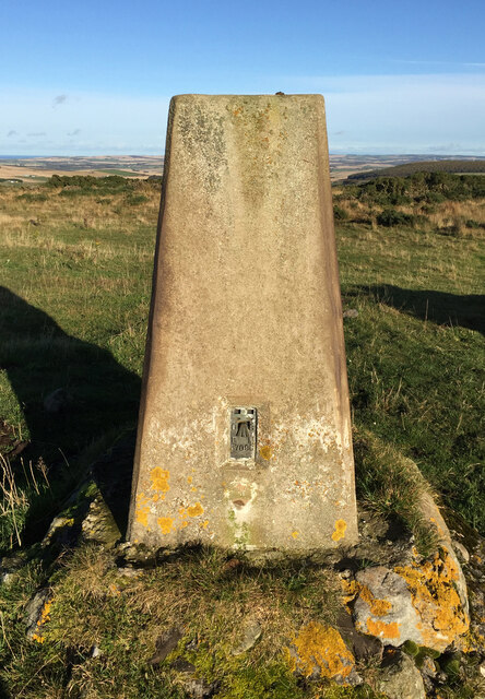
Blacklaw is located at Grid Ref: NJ6256 (Lat: 57.593755, Lng: -2.620786)

Unitary Authority: Aberdeenshire

Police Authority: North East

What 3 Words

///inflating.crusaders.cackling. Near Aberchirder, Aberdeenshire

Nearby Locations

Blacklaw Fishermen's Moss

Related Wikis

Aberchirder

Aberchirder (Scots: Fogieloan, Scottish Gaelic: Obar Chiardair) known locally as Foggieloan or Foggie, is a village in Aberdeenshire, Scotland, situated...

Castle of Park (Aberdeenshire)

Park or Castle of Park, is an A-listed rambling baronial mansion incorporating a 16th-century tower house. It is 4 miles (6.4 km) north-west of Aberchirder...

Cornhill, Aberdeenshire

Cornhill (Scottish Gaelic: Cnoc an Arbhair) is a small village close to Banff, Aberdeenshire, Scotland. It lies 5 miles (8.0 km) to the south of Portsoy...
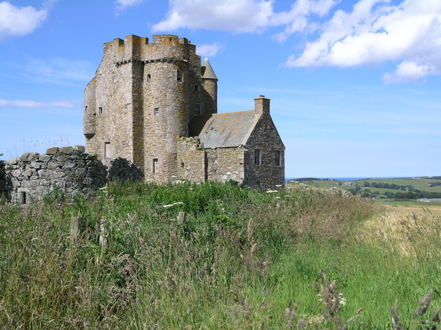
Inchdrewer Castle

Inchdrewer Castle is a 16th-century tower house in the parish of Banff, Aberdeenshire, in the north-east of Scotland. Situated on a slight rise 3.5 miles...

Cornhill railway station

Cornhill railway station was an intermediate stop situated on the Great North of Scotland Railway (GNoSR) line from Cairnie Junction to Tillynaught. There...

Ordens railway station

Ordens railway station was opened in 1859, its services restricted and renamed Ordens Platform railway station by 1911 and finally Ordens Halt railway...

Tillynaught railway station

Tillynaught railway station or Tillynaught Junction was a junction railway station in what is now Aberdeenshire, Parish of Fordyce, 6 miles south-west...

Eden Castle

Eden Castle is a castle near Banff in Aberdeenshire, Scotland. The castle was built in the latter half of the 16th century by the Meldrum family with renovation...

Nearby Amenities

Located within 500m of 57.593755,-2.620786
Hill of Maunderlea
Natural: peak
Lat/Long: 57.5955575/-2.6133367
Power: pole
Lat/Long: 57.5932438/-2.6287417
Power: pole
Lat/Long: 57.5935907/-2.6281318
Power: pole
Lat/Long: 57.5936895/-2.627089
Power: pole
Lat/Long: 57.5937878/-2.6261
Power: pole
Lat/Long: 57.5938633/-2.6250047
Power: pole
Lat/Long: 57.5940536/-2.6232487
Power: pole
Lat/Long: 57.592668/-2.6285978
Power: pole
Lat/Long: 57.5925572/-2.6279071
Power: pole
Lat/Long: 57.592607/-2.6269991
Material: wood
Power: pole
Lat/Long: 57.5896111/-2.6200906
Material: wood
Power: pole
Lat/Long: 57.5901103/-2.6202845
Material: wood
Power: pole
Lat/Long: 57.5905952/-2.6204293
Material: wood
Power: pole
Lat/Long: 57.5910705/-2.6206076
Power: pole
Lat/Long: 57.5975917/-2.6176799
Power: pole
Lat/Long: 57.5972539/-2.617908
Power: pole
Lat/Long: 57.5969137/-2.6181432
Power: pole
Lat/Long: 57.5964443/-2.6191815
Power: pole
Lat/Long: 57.596104/-2.6199869
Power: pole
Lat/Long: 57.5956717/-2.6209558
Material: wood
Power: pole
Lat/Long: 57.5952237/-2.6219564
Material: wood
Power: pole
Lat/Long: 57.5947713/-2.6229583
Material: wood
Power: pole
Lat/Long: 57.5945671/-2.6234121
Material: wood
Power: pole
Lat/Long: 57.594276/-2.62408
Power: pole
Lat/Long: 57.5936219/-2.6231158
Power: pole
Lat/Long: 57.5932135/-2.6229888
Power: pole
Lat/Long: 57.5928014/-2.6223068
Power: pole
Lat/Long: 57.5924901/-2.6217566
The data included in this document is from www.openstreetmap.org. The data is made available under ODbL.

Have you been to Blacklaw?

Leave your review of Blacklaw below (or comments, questions and feedback).