Rooking

Settlement in Westmorland Eden

England

Rooking

Path on Patterdale Common
Path on Patterdale Common Credit: Anthony Foster

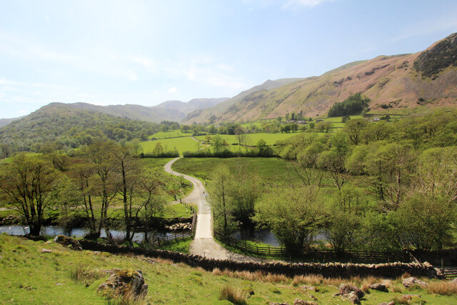
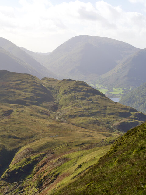
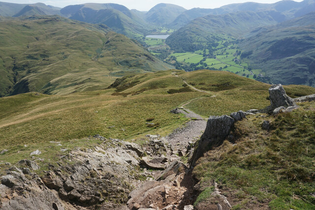
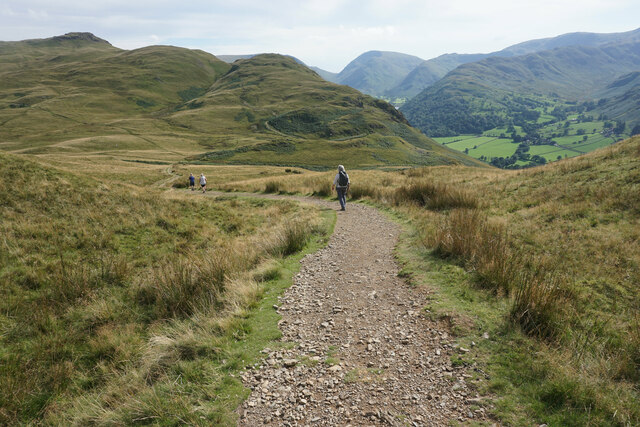
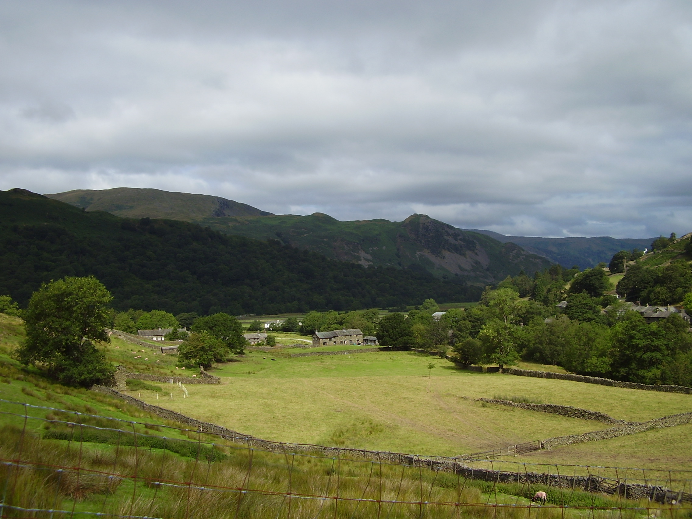
Rooking is a small village located in the county of Westmorland, England. Situated in the northern part of the country, it is nestled amidst the picturesque countryside of the Lake District National Park. Rooking is surrounded by rolling hills, lush green valleys, and serene lakes, making it a haven for nature enthusiasts and outdoor adventurers.

The village itself is quaint and charming, with traditional stone houses and a tight-knit community. The population of Rooking is relatively small, with around 200 residents, giving it a close-knit and friendly atmosphere. The village is known for its sense of community, with regular events and activities organized by local groups.

Rooking offers a range of amenities to its residents and visitors. There is a small village shop, providing essentials and local produce, and a cozy pub where locals and tourists can gather for a pint and a hearty meal. The village also has a primary school for the local children, ensuring a strong sense of community and family life.

The surrounding area of Rooking is a paradise for outdoor enthusiasts. The Lake District National Park offers a plethora of activities, including hiking, cycling, fishing, and boating. The beautiful Lake Windermere is just a short drive away, providing opportunities for water sports and leisurely boat trips.

Rooking, Westmorland, truly embodies the English countryside charm. With its stunning natural surroundings, friendly community, and access to outdoor activities, it is a perfect destination for those seeking a peaceful and idyllic retreat.

If you have any feedback on the listing, please let us know in the comments section below.
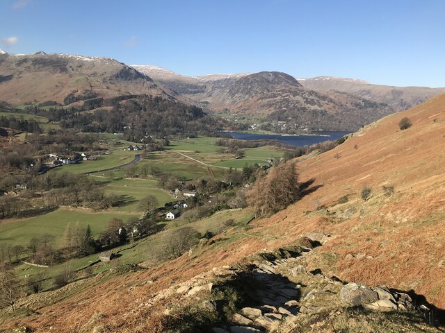
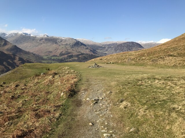
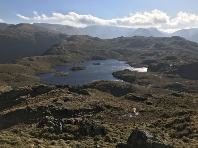
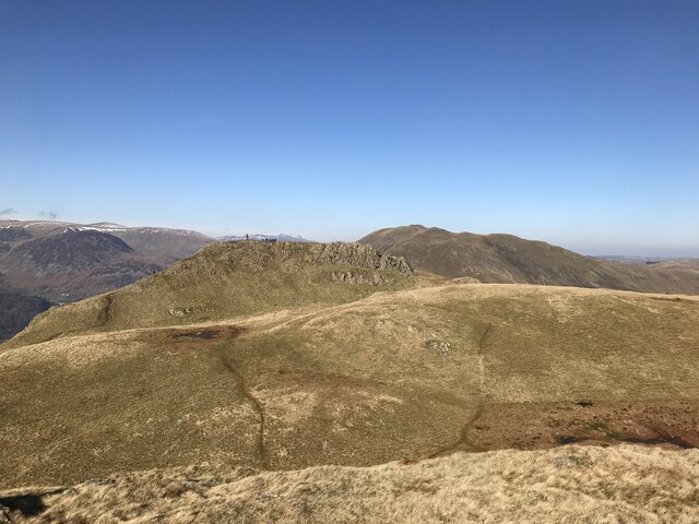
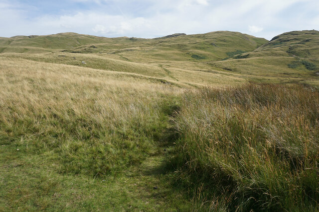
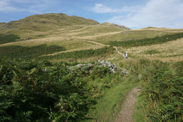
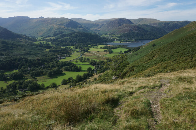
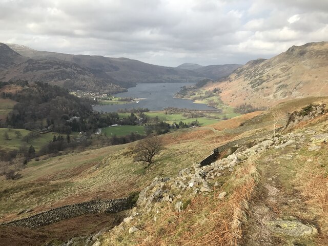
Rooking Images

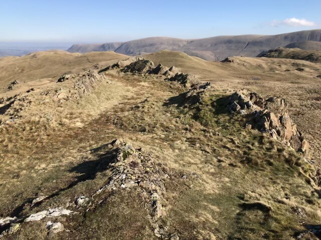
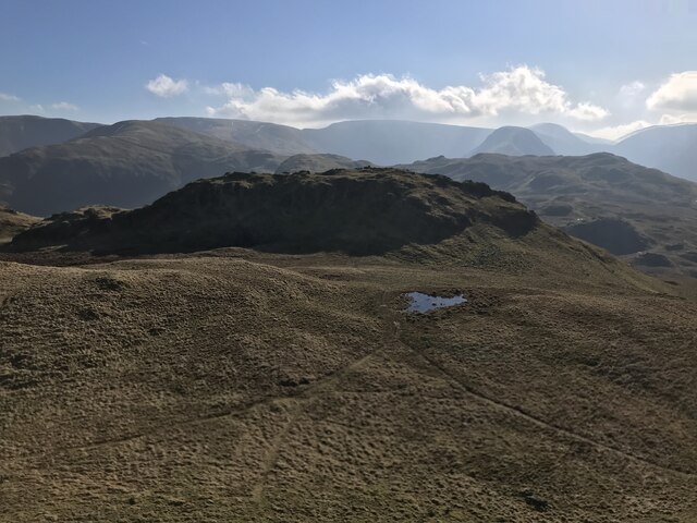
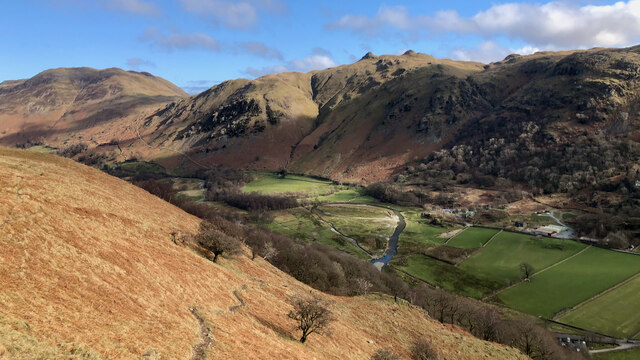
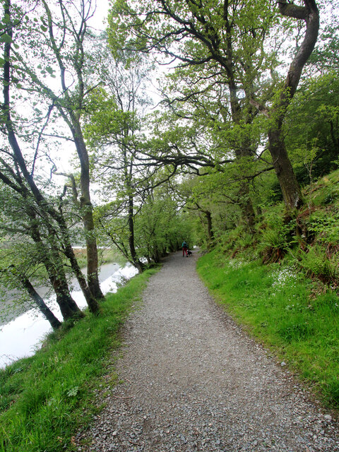
Images are sourced within 2km of 54.526713/-2.9285785 or Grid Reference NY4015. Thanks to Geograph Open Source API. All images are credited.

Path on Patterdale Common
Boredale Hause
Boredale Hause
Angle Tarn
Angle Tarn
Angletarn Pikes North Top
Angletarn Pikes summit
Angletarn Pikes South Top
Goldrill Beck The principal “river” in Patterdale between Ullswater and Brotherswater is Goldrill Beck. That’s it there, just right of centre and to the left of the “holiday village” of Hartsop Fold.

But compare it to the map, which shows the beck hugging the road, hidden by the trees of low Wood.

In the late 18th-century, the beck was canalised, made straighter between embankments in an attempt to drain the fields and make them more productive.

The beck became fast flowing with uniform depth and a lack of natural features made them a poor wildlife habitat. And the high embankments actually prevented the fields from draining  into the beck and so became boggy and reed-filled.

This was done in many of the valleys of the Lake District, but Goldrill Beck also had a particular issue for Goldrill Beck as its canalised route alongside the A592 caused it to continually undercut the road. This was particularly bad during Storm Desmond

The National Trust, in conjunction with the Environment Agency, Natural England and Cumbria County Council have undertaken a project to restore Goldrill Beck to a more natural course with features such as gravel bars, riffles, and meanders. The parlance is to re-wiggle the rivers although in the case of Goldrill Beck it seems to be one big loop but at the lower end of the loop the beck is split into multiple channels where it joins Angletarn Beck.

The old river channel has been partially filled so that it may act as an overflow pond at times of high rainfall.

Ahead, on skyline, are the twin summits of Angletarn Pikes. To the left the deep gash of Dubhow Beck with the cottage of Dubhow and its foot.

It’s just occurred to me that the online mapping below will eventually be updated to show the new river system, so for posterity here is a link to the 1920 O.S. Map, <span class="nowrap"><a title="https://maps.nls.uk/view/101104881#zoom=4&lat=5401&lon=3141&layers=BT" rel="nofollow ugc noopener" href="https://maps.nls.uk/view/101104881#zoom=4&lat=5401&lon=3141&layers=BT">Link</a><img style="margin-left:2px;" alt="External link" title="External link - shift click to open in new window" src="https://s1.geograph.org.uk/img/external.png" width="10" height="10"/></span>

For sources see my blog <span class="nowrap"><a title="http://www.fhithich.uk/?p=27519" rel="nofollow ugc noopener" href="http://www.fhithich.uk/?p=27519">Link</a><img style="margin-left:2px;" alt="External link" title="External link - shift click to open in new window" src="https://s1.geograph.org.uk/img/external.png" width="10" height="10"/></span>
Goldrill Beck
The principal “river” in Patterdale between Ullswater and Brotherswater is Goldrill Beck. That’s it there, just right of centre and to the left of the “holiday village” of Hartsop Fold. But compare it to the map, which shows the beck hugging the road, hidden by the trees of low Wood. In the late 18th-century, the beck was canalised, made straighter between embankments in an attempt to drain the fields and make them more productive. The beck became fast flowing with uniform depth and a lack of natural features made them a poor wildlife habitat. And the high embankments actually prevented the fields from draining into the beck and so became boggy and reed-filled. This was done in many of the valleys of the Lake District, but Goldrill Beck also had a particular issue for Goldrill Beck as its canalised route alongside the A592 caused it to continually undercut the road. This was particularly bad during Storm Desmond The National Trust, in conjunction with the Environment Agency, Natural England and Cumbria County Council have undertaken a project to restore Goldrill Beck to a more natural course with features such as gravel bars, riffles, and meanders. The parlance is to re-wiggle the rivers although in the case of Goldrill Beck it seems to be one big loop but at the lower end of the loop the beck is split into multiple channels where it joins Angletarn Beck. The old river channel has been partially filled so that it may act as an overflow pond at times of high rainfall. Ahead, on skyline, are the twin summits of Angletarn Pikes. To the left the deep gash of Dubhow Beck with the cottage of Dubhow and its foot. It’s just occurred to me that the online mapping below will eventually be updated to show the new river system, so for posterity here is a link to the 1920 O.S. Map, LinkExternal link For sources see my blog LinkExternal link
Path to Dovedale The car park at Cow bridge has that essential quality of anywhere I choose to leave a vehicle - it's free. Consequently, it is also likely to be full very early in the morning. Today we won, and this footpath is the one that led us onwards (and eventually upwards) up Dovedale to a traverse of Fairfield (a mountain I seem to have climbed or descended in pretty much every available direction).
Path to Dovedale
The car park at Cow bridge has that essential quality of anywhere I choose to leave a vehicle - it's free. Consequently, it is also likely to be full very early in the morning. Today we won, and this footpath is the one that led us onwards (and eventually upwards) up Dovedale to a traverse of Fairfield (a mountain I seem to have climbed or descended in pretty much every available direction).
Menneting Bridge from Hause Gate Hause Gate is the bridleway which enables walkers to stay on the east side of Goldrill Beck, away from the main road. However, whilst the route to the photographer's left continues to Hartsop for both walkers and riders, the continuing path towards Patterdale is for those on foot only, while the bridleway cuts back and crosses the beck via Menneting Bridge. Cyclists or equestrians desperate to reach Patterdale without encountering heavy weekend traffic must turn off a little earlier and make a 230m ascent to Boredale Hause before dropping even more steeply back towards Ullswater. There is also a permissive path heading up-valley to the left on the far side of the bridge, but this is not signposted prominently to attract attention.
Menneting Bridge from Hause Gate
Hause Gate is the bridleway which enables walkers to stay on the east side of Goldrill Beck, away from the main road. However, whilst the route to the photographer's left continues to Hartsop for both walkers and riders, the continuing path towards Patterdale is for those on foot only, while the bridleway cuts back and crosses the beck via Menneting Bridge. Cyclists or equestrians desperate to reach Patterdale without encountering heavy weekend traffic must turn off a little earlier and make a 230m ascent to Boredale Hause before dropping even more steeply back towards Ullswater. There is also a permissive path heading up-valley to the left on the far side of the bridge, but this is not signposted prominently to attract attention.
Boredale Hause
Boredale Hause
The southern side of Place Fell The ridge extends south of the summit to Round How before beginning the descent. Brothers Water and the Kirkstone Pass are seen on the right. High Street is in the central background.
The southern side of Place Fell
The ridge extends south of the summit to Round How before beginning the descent. Brothers Water and the Kirkstone Pass are seen on the right. High Street is in the central background.
The western side of Place Fell The fell overlooks Patterdale. The two subsidiary valleys of Grisedale and Glenridding are quite clear opposite. Helvellyn dominates the background in the centre.
The western side of Place Fell
The fell overlooks Patterdale. The two subsidiary valleys of Grisedale and Glenridding are quite clear opposite. Helvellyn dominates the background in the centre.
Descent from Round How Coming off the Place Fell summit ridge. Patterdale and Brothers Water are down below.
Descent from Round How
Coming off the Place Fell summit ridge. Patterdale and Brothers Water are down below.
Path down to Boredale Hause The path has come down off Place Fell.
Path down to Boredale Hause
The path has come down off Place Fell.
Path up to Angletarn Pikes One of several paths which meet on Boredale Hause.
Path up to Angletarn Pikes
One of several paths which meet on Boredale Hause.
Boredale Hause A pass between Patterdale to the left and Boredale to the right. This view looks up towards Place Fell but the summit is hidden behind Round How. The pile of stones in the foreground on the left is all that remains of a former chapel which served the residents of both Patterdale and Boredale.
Boredale Hause
A pass between Patterdale to the left and Boredale to the right. This view looks up towards Place Fell but the summit is hidden behind Round How. The pile of stones in the foreground on the left is all that remains of a former chapel which served the residents of both Patterdale and Boredale.
Path down to Patterdale The higher of two paths which come off Boredale Hause.
Path down to Patterdale
The higher of two paths which come off Boredale Hause.
Glenamara Park
Glenamara Park
Show me another place!

Rooking is located at Grid Ref: NY4015 (Lat: 54.526713, Lng: -2.9285785)

Administrative County: Cumbria

District: Eden

Police Authority: Cumbria

What 3 Words

///angry.decks.mulls. Near Ambleside, Cumbria

Nearby Locations

Rooking

Related Wikis

Arnison Crag

Arnison Crag is a fell in the English Lake District, an outlier of the Fairfield group in the Eastern Fells. It looks down on Patterdale village and the...

Patterdale

Patterdale (Saint Patrick's Dale) is a small village and civil parish in the eastern part of the English Lake District in the Eden District of Cumbria...

Angletarn Pikes

Angletarn Pikes is a fell in the English Lake District near the village of Patterdale. Its most notable feature is Angle Tarn from which it derives its...

Birks (Lake District)

Birks is a fell in the English Lake District situated two kilometres south west of the village of Patterdale in the Eastern Fells. The fells summit sits...

Nearby Amenities

Located within 500m of 54.526713,-2.9285785
Barrier: cattle_grid
Lat/Long: 54.5256833/-2.9312825
Barrier: entrance
Lat/Long: 54.5277046/-2.9231032
Bus Stop
Bearing: S
Source: gps
Lat/Long: 54.5224918/-2.9294479
Beckstones
Place: locality
Lat/Long: 54.5267961/-2.9236603
Greenbank Farm Bed and Breakfast
Addr City: Patterdale
Addr Housename: Greenbank Farm
Addr Postcode: CA11 0NR
Fhrs Id: 307739
Tourism: guest_house
Website: http://greenbankfarmpatterdale.co.uk/
Wikidata: Q26537860
Lat/Long: 54.5238055/-2.9320957
Noran Bank Farm House B&B
Addr City: Patterdale
Addr Housename: Noran Bank Farm
Addr Postcode: CA11 0NR
Fhrs Id: 307758
Tourism: guest_house
Website: https://www.noranbankfarm.co.uk/farmhouse-b-b
Lat/Long: 54.5280343/-2.9312914
Noran Bank Farm Bunkhouse
Addr City: Patterdale
Addr Housename: Noran Bank Farm
Addr Postcode: CA11 0NR
Tourism: alpine_hut
Website: https://www.noranbankfarm.co.uk/shepherd-s-crook-bunkhouse
Lat/Long: 54.5279139/-2.9311431
Power: pole
Lat/Long: 54.5286104/-2.9315132
Power: pole
Lat/Long: 54.5276649/-2.9318055
Power: pole
Lat/Long: 54.5266366/-2.9321173
Power: pole
Lat/Long: 54.5257146/-2.9324573
Power: pole
Lat/Long: 54.524674/-2.9328201
Power: pole
Lat/Long: 54.5236129/-2.9331284
Power: pole
Lat/Long: 54.5240054/-2.9239779
Power: pole
Lat/Long: 54.5250205/-2.9241787
Power: pole
Lat/Long: 54.5260938/-2.9243637
Power: pole
Lat/Long: 54.5267654/-2.9243954
Power: pole
Lat/Long: 54.5271201/-2.9246138
Power: pole
Lat/Long: 54.5280911/-2.924804
Power: pole
Lat/Long: 54.5290448/-2.9250224
Power: pole
Lat/Long: 54.5298492/-2.9258908
Power: pole
Lat/Long: 54.5310767/-2.9267609
Power: pole
Lat/Long: 54.5308549/-2.9283057
Power: pole
Lat/Long: 54.530675/-2.929979
Power: pole
Lat/Long: 54.5307782/-2.9309724
The data included in this document is from www.openstreetmap.org. The data is made available under ODbL.

Have you been to Rooking?

Leave your review of Rooking below (or comments, questions and feedback).