Rookby
Settlement in Westmorland Eden
England
Rookby
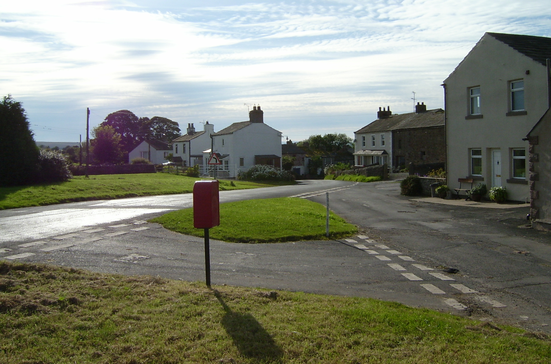
Rookby is a small village located in the county of Westmorland, in the North West region of England. Situated in the picturesque countryside of the region, Rookby is known for its serene surroundings and natural beauty. Nestled within the Eden Valley, it offers breathtaking views of rolling hills, lush meadows, and charming woodlands.
The village itself is home to a tight-knit community of residents who take pride in their close bonds and friendly atmosphere. With a population of around 300 people, Rookby exudes a sense of tranquility and peacefulness that attracts both locals and tourists alike.
Despite its small size, Rookby boasts a number of amenities and services to cater to its residents' needs. These include a village hall, a local pub, and a primary school, ensuring that the community has access to essential facilities. The village also benefits from its proximity to larger towns in the area, such as Appleby and Penrith, which offer a wider range of services and amenities.
Rookby's location within the Eden Valley provides residents with ample opportunities for outdoor activities and exploration. The area is renowned for its scenic walking trails and cycling routes, making it a haven for nature enthusiasts and outdoor adventurers. Additionally, the nearby River Eden offers excellent fishing spots, attracting anglers from far and wide.
In summary, Rookby is a charming village in Westmorland that combines natural beauty with a close-knit community. Its idyllic countryside setting and range of amenities make it an attractive place to live for those seeking a peaceful and picturesque lifestyle.
If you have any feedback on the listing, please let us know in the comments section below.
Rookby Images
Images are sourced within 2km of 54.493063/-2.304105 or Grid Reference NY8010. Thanks to Geograph Open Source API. All images are credited.
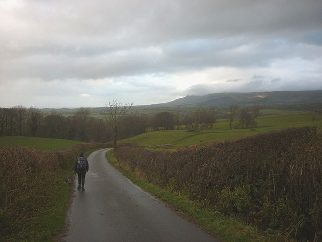
![Fell Lane and Eden valley The end of the tarmac on Fell Lane close by the entrance to Cote Garth farm. An extensive view northwards over the upper Eden valley towards the northern Pennines with the flat topped Roman Fell [part cloud shaded] prominent in the distance.](https://s3.geograph.org.uk/geophotos/04/13/66/4136651_14b80df9.jpg)

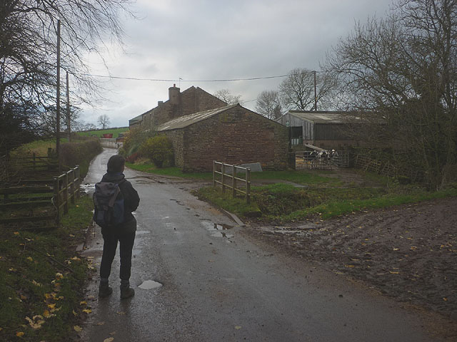
![Looking down to Rookby Scarth Not the best view of the farm buildings from this vantage point on Fell Lane, but the panorama beyond is well worth a photograph with the scarp slope of the Northern Pennines running away in the distance. The more isolate peaks along the edge of the fells stand out well, including flat topped Roman Fell [part cloud shadowed], Murton Pike to the left and pointed Dufton Pike furthest left.](https://s1.geograph.org.uk/geophotos/04/13/66/4136673_e93ad63b.jpg)


Rookby is located at Grid Ref: NY8010 (Lat: 54.493063, Lng: -2.304105)
Administrative County: Cumbria
District: Eden
Police Authority: Cumbria
What 3 Words
///brightens.hook.soda. Near Kirkby Stephen, Cumbria
Nearby Locations
Related Wikis
Kaber, Cumbria
Kaber is a village and civil parish in the Eden District of Cumbria, England. == Location and topography == The village is located about 2 miles (3.2 km...

Winton, Cumbria
Winton is a village and civil parish in the Eden District of Cumbria, England. It is 2.9 miles (4.7 km) south of Brough, and 1.6 miles (2.6 km) north of...

Brough Sowerby
Brough Sowerby is a village and civil parish in the Eden district of Cumbria, England. It is located 22.3 miles south east of the town Penrith. According...

Hartley, Cumbria
Hartley is a village and civil parish in the Eden district of Cumbria, England. It is about 0.5 miles (0.8 km) east of Kirkby Stephen. The area has many...
Nearby Amenities
Located within 500m of 54.493063,-2.304105Have you been to Rookby?
Leave your review of Rookby below (or comments, questions and feedback).