Romannobridge

Settlement in Peeblesshire

Scotland

Romannobridge

Stripwood, Callands View from the path to the Henderland Hill hillfort.
Stripwood, Callands Credit: Richard Webb

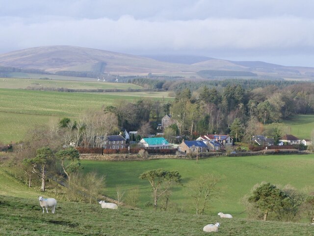
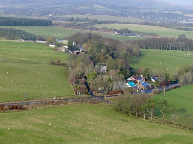
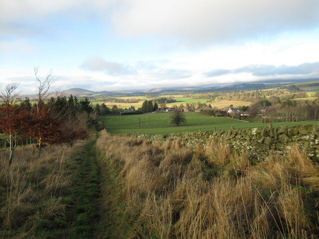
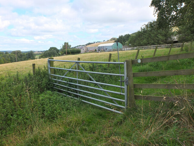
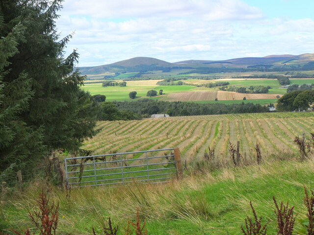
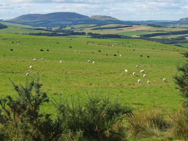
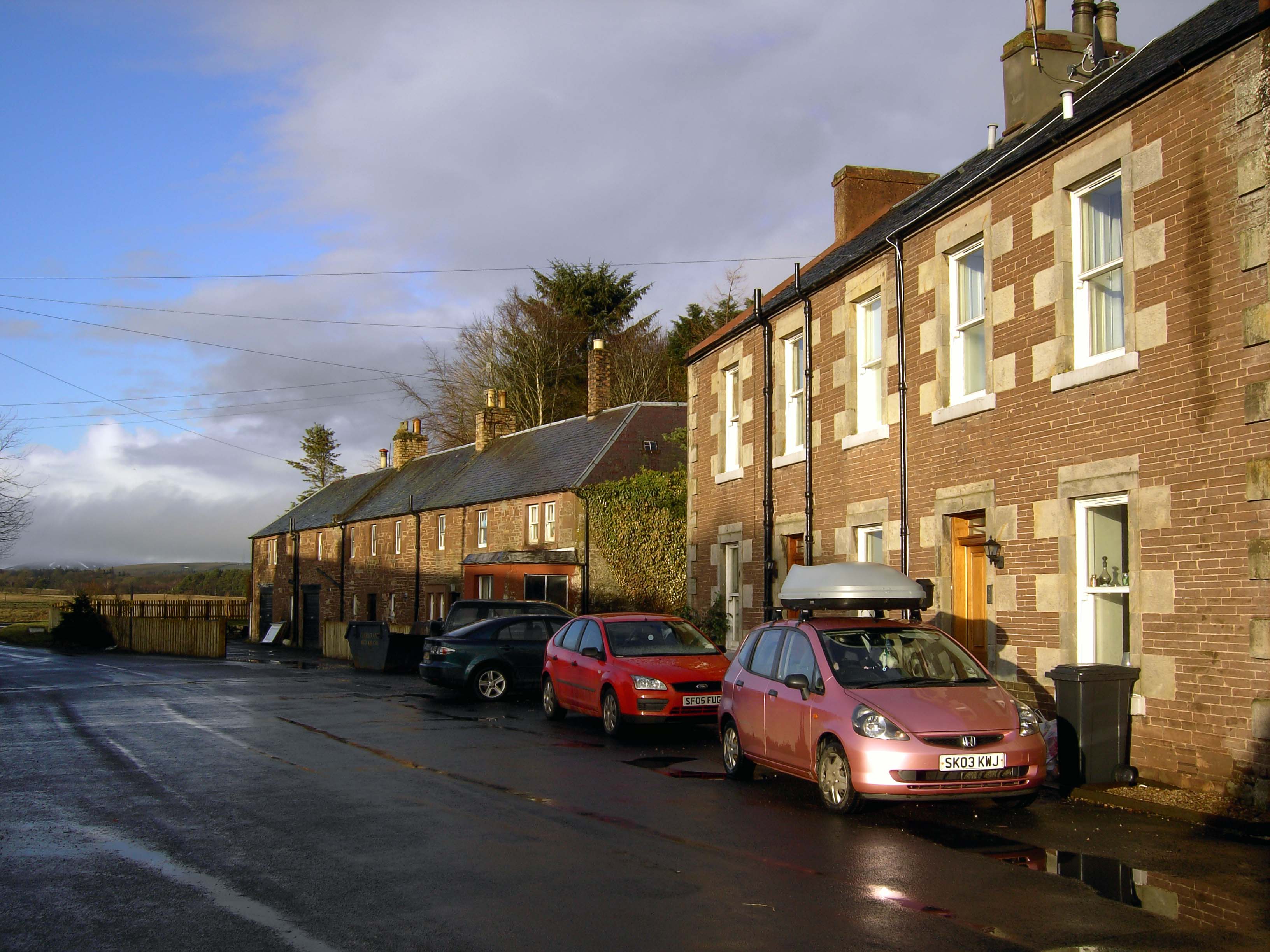
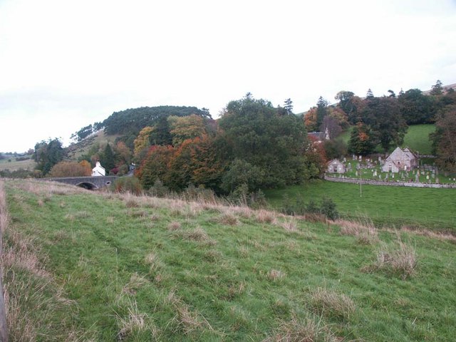
Romannobridge is a small village located in Peeblesshire, Scotland. It is situated along the River Tweed and is surrounded by picturesque countryside, making it a popular destination for outdoor enthusiasts and those looking to escape the hustle and bustle of city life.

The village is known for its charming stone cottages, historic buildings, and peaceful atmosphere. Romannobridge is also home to a number of local amenities, including a primary school, a church, and a village hall.

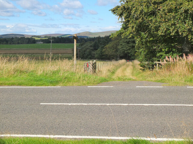
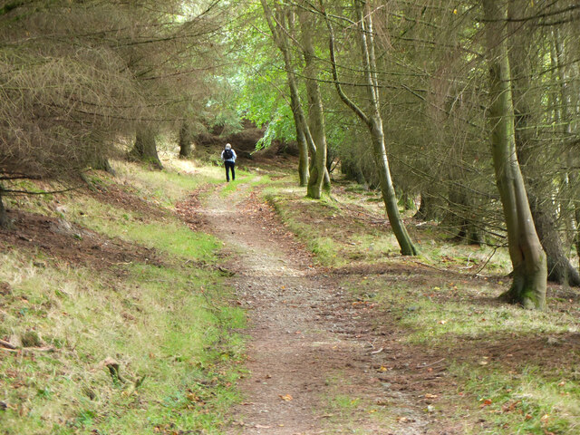
The surrounding area offers plenty of opportunities for outdoor activities such as hiking, fishing, and cycling. The nearby Southern Upland Way, a long-distance walking route, passes through the village, attracting walkers from near and far.

Romannobridge is well-connected by road, with the A72 running through the village and providing easy access to nearby towns and cities such as Peebles and Edinburgh. Overall, Romannobridge is a quaint and welcoming village that offers a peaceful retreat for visitors looking to explore the beauty of the Scottish countryside.

If you have any feedback on the listing, please let us know in the comments section below.

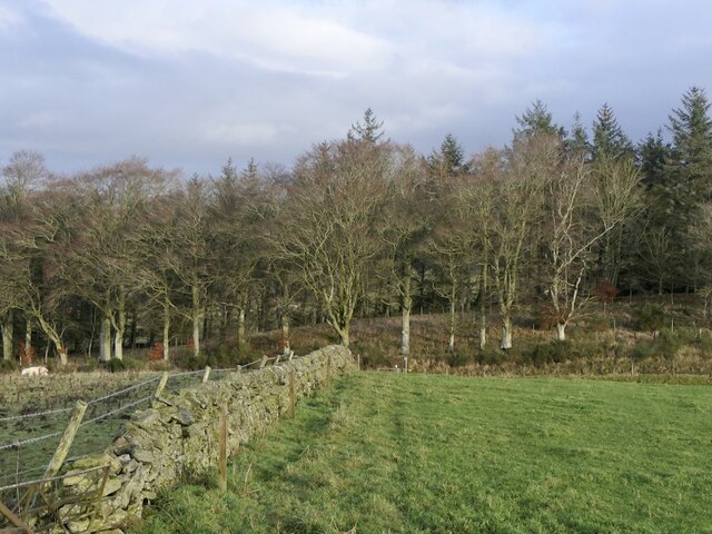
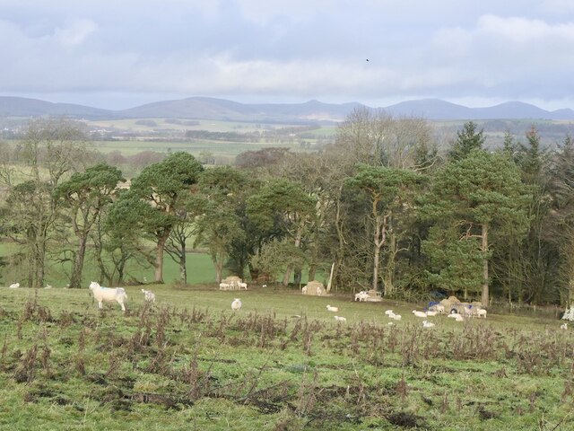
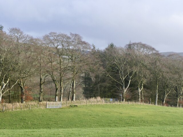
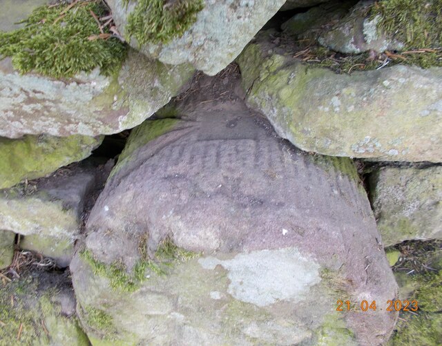
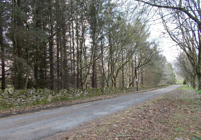
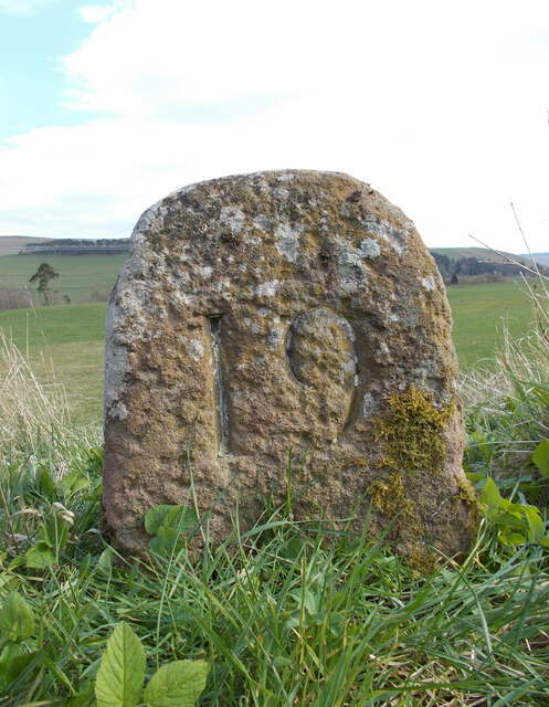
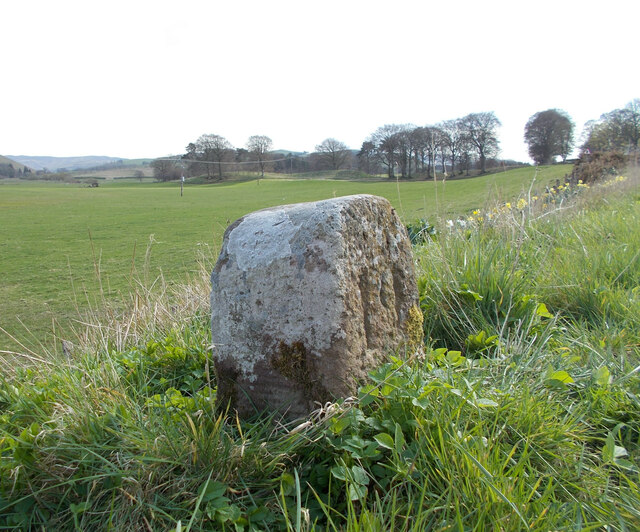
Romannobridge Images

Images are sourced within 2km of 55.718596/-3.3374617 or Grid Reference NT1648. Thanks to Geograph Open Source API. All images are credited.

Stripwood, Callands View from the path to the Henderland Hill hillfort.
Stripwood, Callands
View from the path to the Henderland Hill hillfort.
Sheep near Mountain Cross
Stripwood and road, Callands
Mountain Cross With a Pentland backdrop.
Mountain Cross
With a Pentland backdrop.
Mountain Cross View from the Henderland Hill hillfort.
Mountain Cross
View from the Henderland Hill hillfort.
Ewes on ring feeders
Old drove road above Romannobridge This forms part of the Cross Borders Drove Road, a long distance walking route from Harperrig, south-west of Edinburgh, to Hawick.
Old drove road above Romannobridge
This forms part of the Cross Borders Drove Road, a long distance walking route from Harperrig, south-west of Edinburgh, to Hawick.
Farmland near Halmyre House The Cross Borders Drove Road follows field edges southwest to reach the A701 and Romannobridge.
Farmland near Halmyre House
The Cross Borders Drove Road follows field edges southwest to reach the A701 and Romannobridge.
Drove Road crossing the A701 at Halmyre Vigilance needed here where the Cross Borders Drove Road from West Linton crosses a fast stretch on the A701.
Drove Road crossing the A701 at Halmyre
Vigilance needed here where the Cross Borders Drove Road from West Linton crosses a fast stretch on the A701.
Romanno Mains A hill farm seen from the Cross Borders Drove Road.
Romanno Mains
A hill farm seen from the Cross Borders Drove Road.
Farmland above Romannobridge Looking from the Cross Borders Drove Road towards Mendick Hill (451m).
Farmland above Romannobridge
Looking from the Cross Borders Drove Road towards Mendick Hill (451m).
Path from Romannobridge The Cross Borders Drove Road follows this path to cross the col between Drum Maw and Hag Law.
Path from Romannobridge
The Cross Borders Drove Road follows this path to cross the col between Drum Maw and Hag Law.
Sheep and cattle, Drum Maw Pasture on the lower slopes of Drum Maw with Black Mount (516m) on the skyline.
Sheep and cattle, Drum Maw
Pasture on the lower slopes of Drum Maw with Black Mount (516m) on the skyline.
Old milestone A newer photograph of the milestone at Halmyre Mains on the original line of what is now the A701.  See <a href="https://www.geograph.org.uk/photo/6646769">NT1748 : Old milestone</a>.   It is marked on the 1897 OS map.
Old milestone
A newer photograph of the milestone at Halmyre Mains on the original line of what is now the A701. See NT1748 : Old milestone. It is marked on the 1897 OS map.
Old milestone A close up of the top of the 18 mile stone showing the cut benchmark and pin in the square recess.
Old milestone
A close up of the top of the 18 mile stone showing the cut benchmark and pin in the square recess.
Old milestone A view showing the milestone in the wall just where the wall top lowers.
Old milestone
A view showing the milestone in the wall just where the wall top lowers.
Old milestone A newer photo of the 19 miles from Edinburgh milestone on the A701 at Romanno Bridge.  Remnants of white paint remain in the incised numbers with white lichens on the sides and top.   It is opposite the old school now the Newlands Centre.   The sides and rear have faint horizontal broaching.   It is marked on the 1897 OS at NT15704774 so was moved when the new bridge and by-pass was built.
Old milestone
A newer photo of the 19 miles from Edinburgh milestone on the A701 at Romanno Bridge. Remnants of white paint remain in the incised numbers with white lichens on the sides and top. It is opposite the old school now the Newlands Centre. The sides and rear have faint horizontal broaching. It is marked on the 1897 OS at NT15704774 so was moved when the new bridge and by-pass was built.
Old milestone This view of the milestone at Romanno Bridge shows faint horizontal broaching on the side.  The back is broached in the same way.   The white lichens that have developed indicate the clean air.
Old milestone
This view of the milestone at Romanno Bridge shows faint horizontal broaching on the side. The back is broached in the same way. The white lichens that have developed indicate the clean air.
Show me another place!

Romannobridge is located at Grid Ref: NT1648 (Lat: 55.718596, Lng: -3.3374617)

Unitary Authority: The Scottish Borders

Police Authority: The Lothians and Scottish Borders

What 3 Words

///incurring.blossom.went. Near West Linton, Scottish Borders

Related Wikis

Romannobridge

Romanno Bridge is a village on the Lyne Water, on the A701, in the Scottish Borders area of Scotland. Settlements nearby include West Linton, Halmyre,...

Newlands, Scottish Borders

Newlands is a parish in the Tweeddale committee area of the Scottish Borders council area, in southeastern Scotland. == Geography == Newlands is on the...

Bordlands

Bordlands is a village in the Parish of Newlands in the Scottish Borders area of Scotland. The former name of Bordlands was Boreland. == See also == List...

Broomlee railway station

Broomlee railway station served the village of West Linton, Peeblesshire, Scotland, from 1864 to 1933 on the Leadburn, Linton and Dolphinton Railway....

Nearby Amenities

Located within 500m of 55.718596,-3.3374617
Romanno Bridge
Is In: Borders, Scotland, UK
Place: village
Wikidata: Q7362713
Wikipedia: en:Romannobridge
Lat/Long: 55.7194992/-3.3363184
Bus Stop
Bus Shelter
Bus: yes
Naptan AtcoCode: 69001311
Naptan Bearing: SW
Naptan CommonName: Bus Shelter
Naptan Indicator: opp
Naptan Landmark: B7059 junction
Naptan NaptanCode: 72726739
Naptan Street: A701
Operator: Scottish Borders Council
Public Transport: platform
Ref: 69001311
Source: NaPTAN
Lat/Long: 55.7187087/-3.3377048
Bus Stop
Newlands Primary School
Bus: yes
Naptan AtcoCode: 69001312
Naptan Bearing: N
Naptan CommonName: Newlands Primary School
Naptan Indicator: o/s
Naptan Landmark: School
Naptan NaptanCode: 72726592
Naptan Street: A701
Naptan Verified: no
Public Transport: platform
Source: naptan_import
Lat/Long: 55.7177261/-3.3411161
Bus Stop
Bus Shelter
Bench: yes
Bin: no
Bus: yes
Naptan AtcoCode: 6900721
Naptan Bearing: NE
Naptan CommonName: Bus Shelter
Naptan Indicator: at
Naptan Landmark: B7059 junction
Naptan NaptanCode: 72724848
Naptan Notes: reposition
Naptan Street: A701
Operator: Scottish Borders Council
Public Transport: platform
Ref: 6900721
Shelter: yes
Source: NaPTAN
Tactile Paving: no
Lat/Long: 55.7188061/-3.3378355
Moot Hill
Ele: 249
Natural: peak
Lat/Long: 55.7199078/-3.3319944
Lyneside
Place: hamlet
Lat/Long: 55.7173838/-3.341736
Dovecot
Place: isolated_dwelling
Lat/Long: 55.7183591/-3.333184
Post Box
Collection Times: Mo-Fr 16:00; Sa 10:30
Operator: Royal Mail
Operator Wikidata: Q638098
Post Box Type: lamp
Ref: EH46 23
Royal Cypher: scottish_crown
Source: survey
Lat/Long: 55.7182827/-3.337704
Telephone
Booth: KX100
Covered: booth
Phone: +44 1968 660279
Source: survey
Lat/Long: 55.7183016/-3.3376759
Power: pole
Lat/Long: 55.717639/-3.3405289
Power: pole
Lat/Long: 55.716945/-3.3410229
Power: pole
Lat/Long: 55.7162487/-3.3415002
Power: pole
Lat/Long: 55.71555/-3.3419648
Power: pole
Lat/Long: 55.7200621/-3.3438265
Power: pole
Lat/Long: 55.720074/-3.3426575
Power: pole
Lat/Long: 55.7200728/-3.3413562
Power: pole
Lat/Long: 55.7200846/-3.3406813
Power: pole
Lat/Long: 55.7205062/-3.3400191
Power: pole
Lat/Long: 55.7212687/-3.3396154
Power: pole
Lat/Long: 55.7220561/-3.3391886
Power: pole
Lat/Long: 55.7227891/-3.3387618
Power: pole
Lat/Long: 55.7194748/-3.3404543
Power: pole
Lat/Long: 55.7188306/-3.3402167
Power: pole
Lat/Long: 55.7176245/-3.339505
Power: pole
Lat/Long: 55.7175972/-3.3379913
Power: pole
Lat/Long: 55.7175901/-3.3373291
Power: pole
Lat/Long: 55.7178803/-3.3366395
Power: pole
Lat/Long: 55.7179596/-3.3359205
Power: pole
Lat/Long: 55.7180472/-3.3351909
Power: pole
Lat/Long: 55.718123/-3.3345014
Power: pole
Lat/Long: 55.7180982/-3.3361328
Power: pole
Lat/Long: 55.7180283/-3.3375225
The data included in this document is from www.openstreetmap.org. The data is made available under ODbL.

Have you been to Romannobridge?

Leave your review of Romannobridge below (or comments, questions and feedback).