Moot Hill

Hill, Mountain in Peeblesshire

Scotland

Moot Hill

Mountain Cross With a Pentland backdrop.
Mountain Cross Credit: Richard Webb

Moot Hill, also known as Meikleholm Hill, is a prominent landmark located in Peeblesshire, Scotland. Rising to an elevation of 367 meters (1,204 feet), it is categorized as a hill rather than a mountain. The hill is situated approximately 2 kilometers (1.2 miles) southwest of the town of Peebles, making it easily accessible for visitors and locals alike.

Moot Hill holds significant historical and cultural importance as it was once the site of a traditional gathering place for the people of Peeblesshire. Historically, it served as a meeting point for important discussions, legal proceedings, and local assemblies. This association with the local legal system has led to its alternate name, "Moot Hill," as 'moot' refers to a traditional legal assembly.

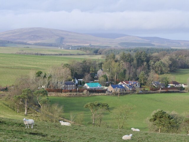
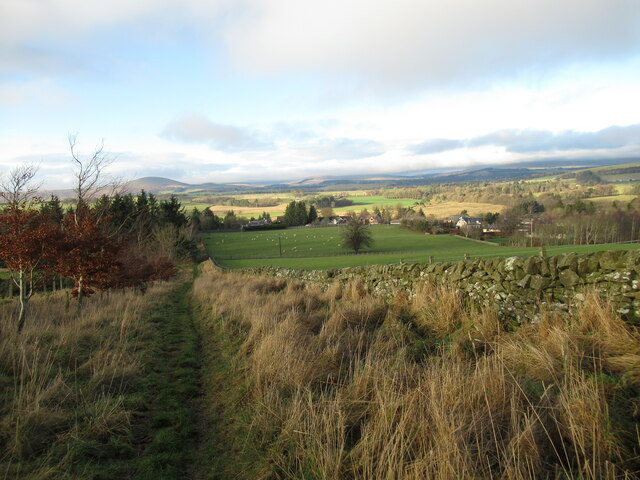
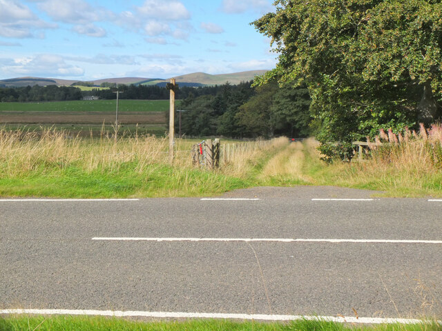
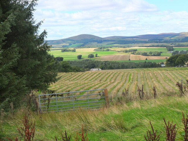
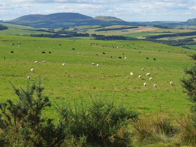
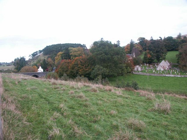
From the summit of Moot Hill, visitors are treated to breathtaking panoramic views of the surrounding countryside. On a clear day, the rolling hills, meandering rivers, and distant peaks of the Scottish Borders can be seen in all their glory. The hill is also home to a diverse range of flora and fauna, making it a popular spot for nature lovers and birdwatchers.

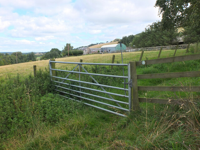
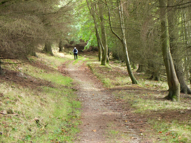
Access to Moot Hill is relatively easy, with a well-maintained footpath leading to the top. The walk is moderate in difficulty, suitable for most fitness levels. Visitors are advised to wear appropriate footwear and carry water and snacks, especially during warmer months.

Overall, Moot Hill offers both historical significance and natural beauty, making it a must-visit destination for those exploring Peeblesshire and the Scottish Borders region.

If you have any feedback on the listing, please let us know in the comments section below.
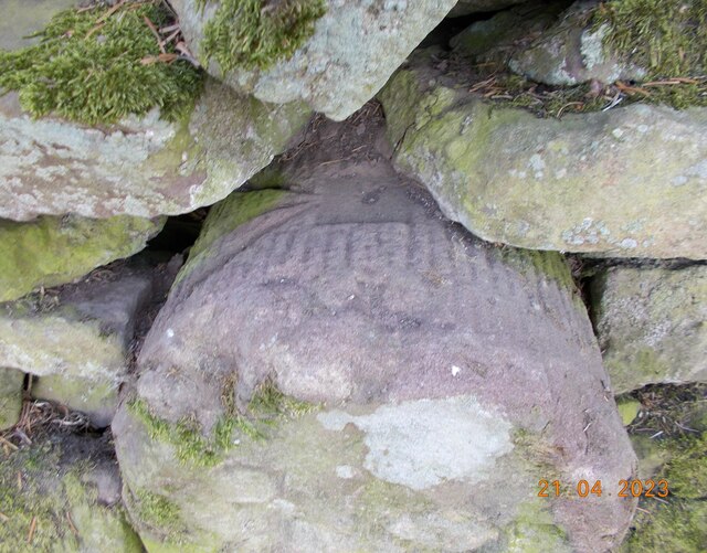
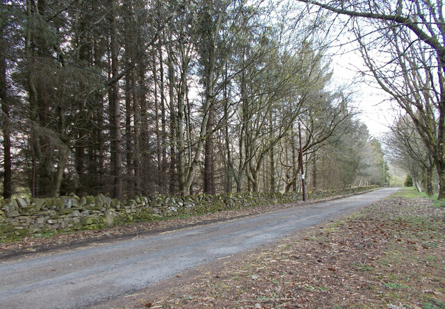
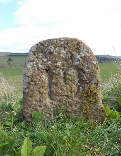
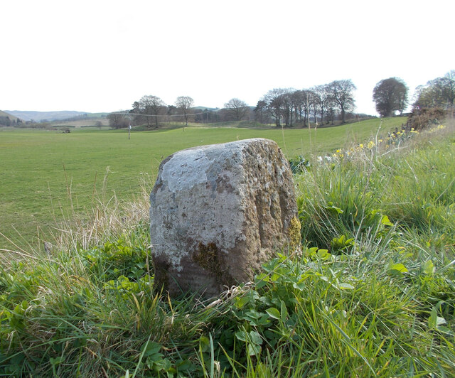
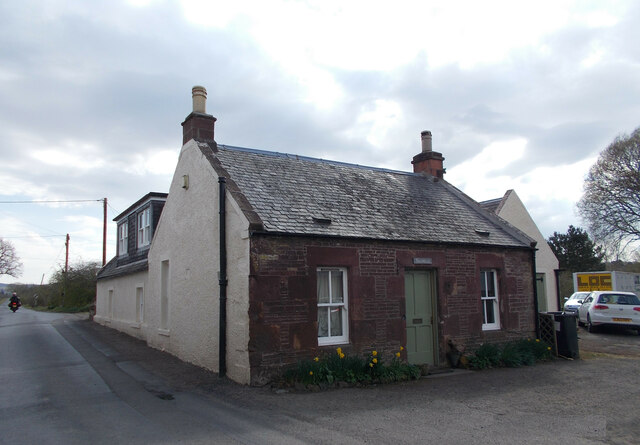
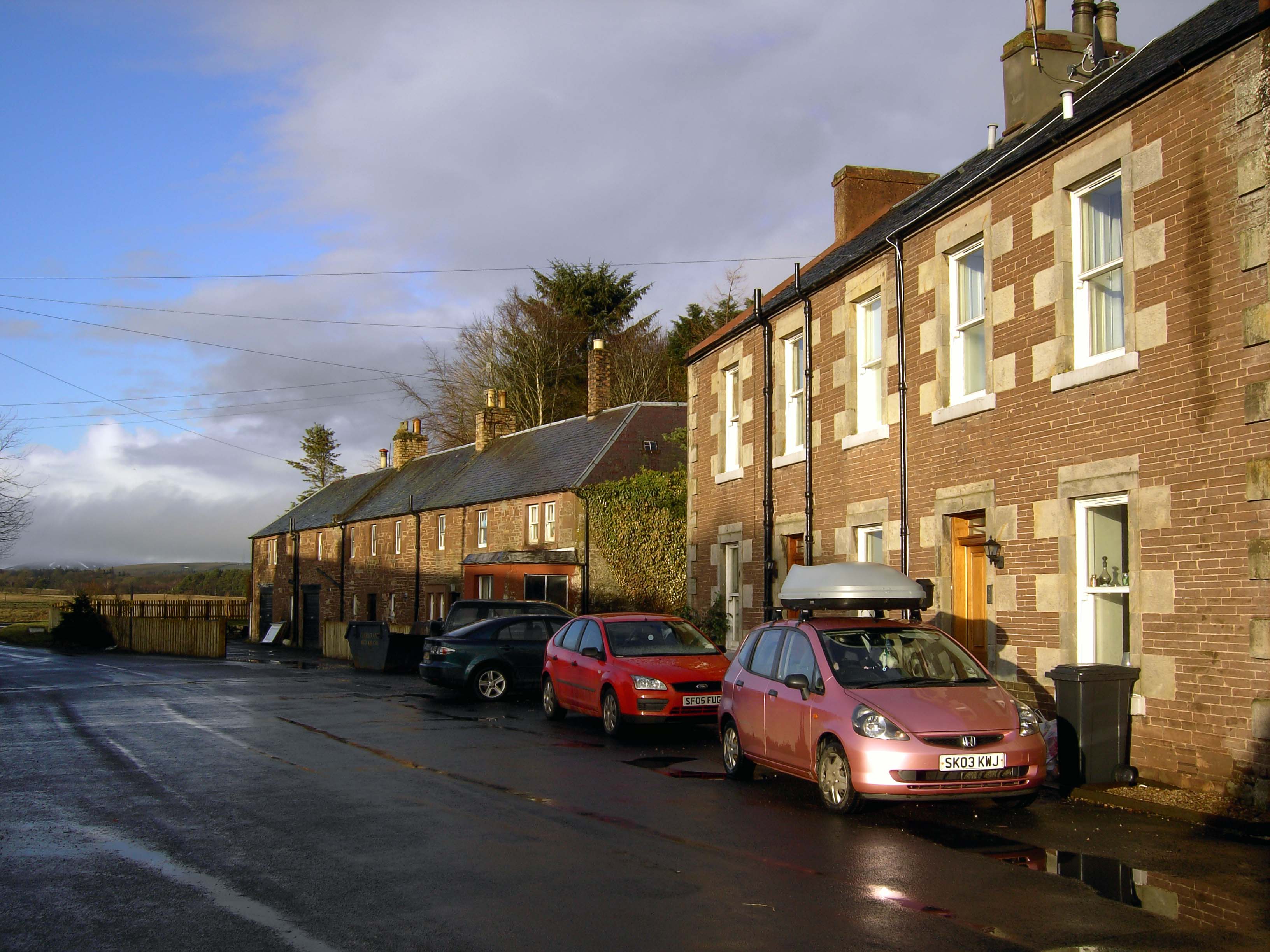
Moot Hill Images

Images are sourced within 2km of 55.72033/-3.332538 or Grid Reference NT1648. Thanks to Geograph Open Source API. All images are credited.

Mountain Cross With a Pentland backdrop.
Mountain Cross
With a Pentland backdrop.
Old drove road above Romannobridge This forms part of the Cross Borders Drove Road, a long distance walking route from Harperrig, south-west of Edinburgh, to Hawick.
Old drove road above Romannobridge
This forms part of the Cross Borders Drove Road, a long distance walking route from Harperrig, south-west of Edinburgh, to Hawick.
Path junction near Kaimes A signpost for the Cross Borders Drove Road taking a field edge route to the A701 and Romannobridge.
Path junction near Kaimes
A signpost for the Cross Borders Drove Road taking a field edge route to the A701 and Romannobridge.
Farmland near Halmyre House The Cross Borders Drove Road follows field edges southwest to reach the A701 and Romannobridge.
Farmland near Halmyre House
The Cross Borders Drove Road follows field edges southwest to reach the A701 and Romannobridge.
Drove Road crossing the A701 at Halmyre Vigilance needed here where the Cross Borders Drove Road from West Linton crosses a fast stretch on the A701.
Drove Road crossing the A701 at Halmyre
Vigilance needed here where the Cross Borders Drove Road from West Linton crosses a fast stretch on the A701.
Romanno Mains A hill farm seen from the Cross Borders Drove Road.
Romanno Mains
A hill farm seen from the Cross Borders Drove Road.
Farmland above Romannobridge Looking from the Cross Borders Drove Road towards Mendick Hill (451m).
Farmland above Romannobridge
Looking from the Cross Borders Drove Road towards Mendick Hill (451m).
Path from Romannobridge The Cross Borders Drove Road follows this path to cross the col between Drum Maw and Hag Law.
Path from Romannobridge
The Cross Borders Drove Road follows this path to cross the col between Drum Maw and Hag Law.
Sheep and cattle, Drum Maw Pasture on the lower slopes of Drum Maw with Black Mount (516m) on the skyline.
Sheep and cattle, Drum Maw
Pasture on the lower slopes of Drum Maw with Black Mount (516m) on the skyline.
Ruined steading, Halmyre Mains A conversion abandoned in 2008 shortly after the removal of the roof.  An attempt at revival of the project in 2011: <a href="https://www.geograph.org.uk/photo/2261220">NT1749 : Halmyre Mains</a>
Ruined steading, Halmyre Mains
A conversion abandoned in 2008 shortly after the removal of the roof. An attempt at revival of the project in 2011: NT1749 : Halmyre Mains
Old milestone A newer photograph of the milestone at Halmyre Mains on the original line of what is now the A701.  See <a href="https://www.geograph.org.uk/photo/6646769">NT1748 : Old milestone</a>.   It is marked on the 1897 OS map.
Old milestone
A newer photograph of the milestone at Halmyre Mains on the original line of what is now the A701. See NT1748 : Old milestone. It is marked on the 1897 OS map.
Old milestone A close up of the top of the 18 mile stone showing the cut benchmark and pin in the square recess.
Old milestone
A close up of the top of the 18 mile stone showing the cut benchmark and pin in the square recess.
Old milestone A view showing the milestone in the wall just where the wall top lowers.
Old milestone
A view showing the milestone in the wall just where the wall top lowers.
Old milestone A newer photo of the 19 miles from Edinburgh milestone on the A701 at Romanno Bridge.  Remnants of white paint remain in the incised numbers with white lichens on the sides and top.   It is opposite the old school now the Newlands Centre.   The sides and rear have faint horizontal broaching.   It is marked on the 1897 OS at NT15704774 so was moved when the new bridge and by-pass was built.
Old milestone
A newer photo of the 19 miles from Edinburgh milestone on the A701 at Romanno Bridge. Remnants of white paint remain in the incised numbers with white lichens on the sides and top. It is opposite the old school now the Newlands Centre. The sides and rear have faint horizontal broaching. It is marked on the 1897 OS at NT15704774 so was moved when the new bridge and by-pass was built.
Old milestone This view of the milestone at Romanno Bridge shows faint horizontal broaching on the side.  The back is broached in the same way.   The white lichens that have developed indicate the clean air.
Old milestone
This view of the milestone at Romanno Bridge shows faint horizontal broaching on the side. The back is broached in the same way. The white lichens that have developed indicate the clean air.
Old tollhouse In 1974 this old bridge tollhouse had a chimney at each end of the ridge.  By 2016 it only had one although it had been extended to the rear and right hand side.   2023 and it again has 2 chimneys.  The turnpike road passed through here from 1804 so this building may have been there already or built by the Peebleshire Trust for the tollkeeper.
Old tollhouse
In 1974 this old bridge tollhouse had a chimney at each end of the ridge. By 2016 it only had one although it had been extended to the rear and right hand side. 2023 and it again has 2 chimneys. The turnpike road passed through here from 1804 so this building may have been there already or built by the Peebleshire Trust for the tollkeeper.
View from Deans Hill In ten years time most of the large field this hill is in will be a plantation - small saplings, now around a foot high, have been planted in rows in most of it, and a deer fence is in place to stop any potential nibbling.
The young trees have been planted pretty much exactly two metres apart - meaning that a sapling, if not at the edge, has a two metre gap to a tree to the left and right, and to a tree in front and behind. This is surely startlingly unscientific and a cause for concern, considering the research that must be put into these things.
Commercial forests are designed to maximise timber output in an area. Obviously the more trees you have per area the greater the yield. However, there is a trade-off. The closer the trees get (only applicable when really close, as is the case with commercial forestry) the less sunlight their lower branches receive. And therefore there are less leaves on the branches, meaning less energy can be made within them to be passed on to the trunk to make it grow taller. A couple of sources online mention this 2mx2m grid layout being the standard in UK forestry. Even in the highly unlikely event of the above trade-off calculation leading to a distancing  of  such a conveniently round number, this should surely be adjusted almost all of the time to take account of climate, soil type, hours of sunlight and the aspect of each plantation, and sometimes to small sections of trees within the same plantation. To apply the two metre rule across the board in all circumstances seems pretty lazy,  not very business-like, and perhaps even stupid.
View from Deans Hill
In ten years time most of the large field this hill is in will be a plantation - small saplings, now around a foot high, have been planted in rows in most of it, and a deer fence is in place to stop any potential nibbling. The young trees have been planted pretty much exactly two metres apart - meaning that a sapling, if not at the edge, has a two metre gap to a tree to the left and right, and to a tree in front and behind. This is surely startlingly unscientific and a cause for concern, considering the research that must be put into these things. Commercial forests are designed to maximise timber output in an area. Obviously the more trees you have per area the greater the yield. However, there is a trade-off. The closer the trees get (only applicable when really close, as is the case with commercial forestry) the less sunlight their lower branches receive. And therefore there are less leaves on the branches, meaning less energy can be made within them to be passed on to the trunk to make it grow taller. A couple of sources online mention this 2mx2m grid layout being the standard in UK forestry. Even in the highly unlikely event of the above trade-off calculation leading to a distancing of such a conveniently round number, this should surely be adjusted almost all of the time to take account of climate, soil type, hours of sunlight and the aspect of each plantation, and sometimes to small sections of trees within the same plantation. To apply the two metre rule across the board in all circumstances seems pretty lazy, not very business-like, and perhaps even stupid.
Show me another place!

Moot Hill is located at Grid Ref: NT1648 (Lat: 55.72033, Lng: -3.332538)

Unitary Authority: The Scottish Borders

Police Authority: The Lothians and Scottish Borders

What 3 Words

///rejoins.requires.vine. Near West Linton, Scottish Borders

Related Wikis

Romannobridge

Romanno Bridge is a village on the Lyne Water, on the A701, in the Scottish Borders area of Scotland. Settlements nearby include West Linton, Halmyre,...

Newlands, Scottish Borders

Newlands is a parish in the Tweeddale committee area of the Scottish Borders council area, in southeastern Scotland. == Geography == Newlands is on the...

Bordlands

Bordlands is a village in the Parish of Newlands in the Scottish Borders area of Scotland. The former name of Bordlands was Boreland. == See also == List...

Broomlee railway station

Broomlee railway station served the village of West Linton, Peeblesshire, Scotland, from 1864 to 1933 on the Leadburn, Linton and Dolphinton Railway....

Nearby Amenities

Located within 500m of 55.72033,-3.332538
Romanno Bridge
Is In: Borders, Scotland, UK
Place: village
Wikidata: Q7362713
Wikipedia: en:Romannobridge
Lat/Long: 55.7194992/-3.3363184
Bus Stop
Newlands Cemetery
Bus: yes
Naptan AtcoCode: 69001307
Naptan Bearing: S
Naptan CommonName: Newlands Cemetery
Naptan Indicator: at
Naptan Landmark: Newlands Cemetery
Naptan NaptanCode: 72726738
Naptan Street: A701
Operator: Scottish Borders Council
Public Transport: platform
Ref: 69001307
Source: NaPTAN
Lat/Long: 55.7228595/-3.3303317
Bus Stop
Bus Shelter
Bus: yes
Naptan AtcoCode: 69001311
Naptan Bearing: SW
Naptan CommonName: Bus Shelter
Naptan Indicator: opp
Naptan Landmark: B7059 junction
Naptan NaptanCode: 72726739
Naptan Street: A701
Operator: Scottish Borders Council
Public Transport: platform
Ref: 69001311
Source: NaPTAN
Lat/Long: 55.7187087/-3.3377048
Bus Stop
Newlands Cemetery
Bus: yes
Naptan AtcoCode: 6900719
Naptan Bearing: N
Naptan CommonName: Newlands Cemetery
Naptan Indicator: opp
Naptan Landmark: cemetery
Naptan NaptanCode: 72724849
Naptan Street: A701
Operator: Scottish Borders Council
Public Transport: platform
Ref: 6900719
Source: NaPTAN
Lat/Long: 55.7229558/-3.3305738
Bus Stop
Bus Shelter
Bench: yes
Bin: no
Bus: yes
Naptan AtcoCode: 6900721
Naptan Bearing: NE
Naptan CommonName: Bus Shelter
Naptan Indicator: at
Naptan Landmark: B7059 junction
Naptan NaptanCode: 72724848
Naptan Notes: reposition
Naptan Street: A701
Operator: Scottish Borders Council
Public Transport: platform
Ref: 6900721
Shelter: yes
Source: NaPTAN
Tactile Paving: no
Lat/Long: 55.7188061/-3.3378355
Moot Hill
Ele: 249
Natural: peak
Lat/Long: 55.7199078/-3.3319944
Dovecot
Place: isolated_dwelling
Lat/Long: 55.7183591/-3.333184
Post Box
Collection Times: Mo-Fr 16:00; Sa 10:30
Operator: Royal Mail
Operator Wikidata: Q638098
Post Box Type: lamp
Ref: EH46 23
Royal Cypher: scottish_crown
Source: survey
Lat/Long: 55.7182827/-3.337704
Telephone
Booth: KX100
Covered: booth
Phone: +44 1968 660279
Source: survey
Lat/Long: 55.7183016/-3.3376759
Material: wood
Power: pole
Lat/Long: 55.7223549/-3.3256884
Material: wood
Power: pole
Lat/Long: 55.7226298/-3.3268263
Material: wood
Power: pole
Lat/Long: 55.7232673/-3.3268243
Power: pole
Lat/Long: 55.7205062/-3.3400191
Power: pole
Lat/Long: 55.7212687/-3.3396154
Power: pole
Lat/Long: 55.7220561/-3.3391886
Power: pole
Lat/Long: 55.7227891/-3.3387618
Power: pole
Lat/Long: 55.7240607/-3.3368108
Power: pole
Lat/Long: 55.7239104/-3.3356755
Power: pole
Lat/Long: 55.7237541/-3.3344919
Power: pole
Lat/Long: 55.7236049/-3.3334239
Power: pole
Lat/Long: 55.7234699/-3.3324358
Power: pole
Lat/Long: 55.7224777/-3.3323054
Power: pole
Lat/Long: 55.7175972/-3.3379913
Power: pole
Lat/Long: 55.7175901/-3.3373291
Power: pole
Lat/Long: 55.7178803/-3.3366395
Power: pole
Lat/Long: 55.7179596/-3.3359205
Power: pole
Lat/Long: 55.7180472/-3.3351909
Power: pole
Lat/Long: 55.718123/-3.3345014
Power: pole
Lat/Long: 55.7180982/-3.3361328
Power: pole
Lat/Long: 55.7180283/-3.3375225
The data included in this document is from www.openstreetmap.org. The data is made available under ODbL.

Have you been to Moot Hill?

Leave your review of Moot Hill below (or comments, questions and feedback).