Romaldkirk

Settlement in Yorkshire

England

Romaldkirk

Not so old Boundary Marker on the west bank of the River Tees Parish Boundary Marker on the south side of a stream running into the River Tees. On the boundary of Hunderthwaite and Romaldkirk parishes. Inscribed HUNDERTHWAITE. The Romaldkirk marker is at NZ 00480 21316 on the north bank of the stream. A list of the boundary markers can be found here <span class="nowrap"><a title="https://1drv.ms/w/s!Apt1XW0zY8DDgcFsnkpupbpYSiiVEQ?e=TaoW1W" rel="nofollow ugc noopener" href="https://1drv.ms/w/s!Apt1XW0zY8DDgcFsnkpupbpYSiiVEQ?e=TaoW1W">Link</a><img style="margin-left:2px;" alt="External link" title="External link - shift click to open in new window" src="https://s1.geograph.org.uk/img/external.png" width="10" height="10"/></span>. Read "Marking Parish Boundaries Along the Teesdale Way" ISBN 0 9520624 2 9.

Milestone Society National ID: YN_TEES10pb
Not so old Boundary Marker on the west bank of the River Tees Credit: Mike Rayner

Romaldkirk is a picturesque village located in the heart of the North Pennines Area of Outstanding Natural Beauty, in County Durham, Yorkshire. With a population of around 200 residents, Romaldkirk is a tranquil and charming village that exudes a sense of traditional English countryside living.

The village is renowned for its architectural beauty, with many well-preserved stone houses and buildings dating back to the 17th and 18th centuries. The centerpiece of Romaldkirk is the St. Romald's Church, a Grade I listed building that dates back to the 12th century. The church's stunning Norman architecture and beautifully maintained graveyard make it a popular tourist attraction.

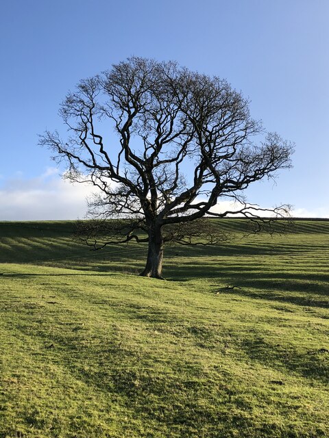
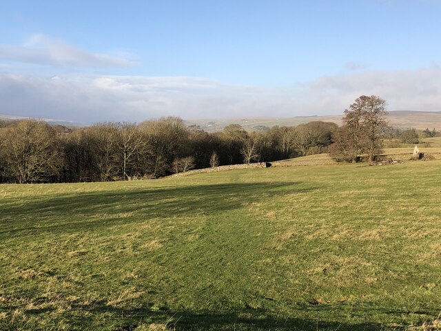
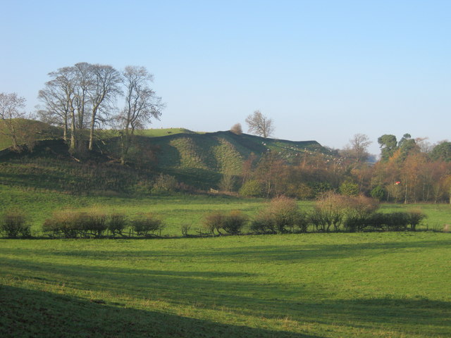
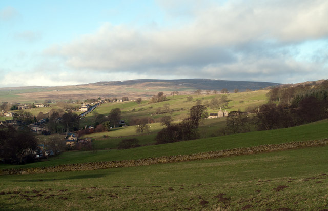
Surrounded by rolling hills, meadows, and picturesque farmland, Romaldkirk offers breathtaking views and ample opportunities for outdoor activities. The village is located near the Teesdale Way, a long-distance footpath that follows the River Tees, making it a perfect base for hikers and nature enthusiasts.

Romaldkirk is also home to a welcoming community, with a village hall, a primary school, and a charming pub, The Rose and Crown, which serves delicious food and locally brewed ales. The annual Romaldkirk Festival, held in the village, showcases local talent in music, art, and literature.

Overall, Romaldkirk is a hidden gem in Yorkshire, offering a serene and idyllic setting for those seeking a peaceful retreat amidst the beauty of the North Pennines.

If you have any feedback on the listing, please let us know in the comments section below.
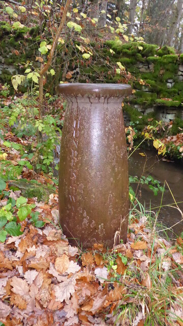
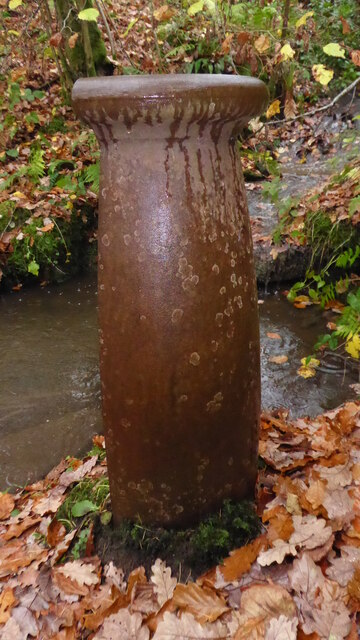
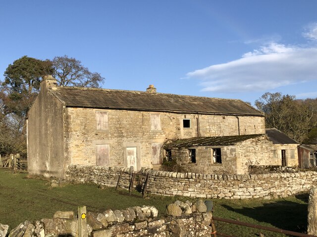
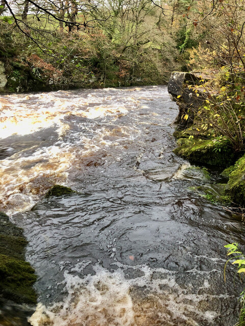
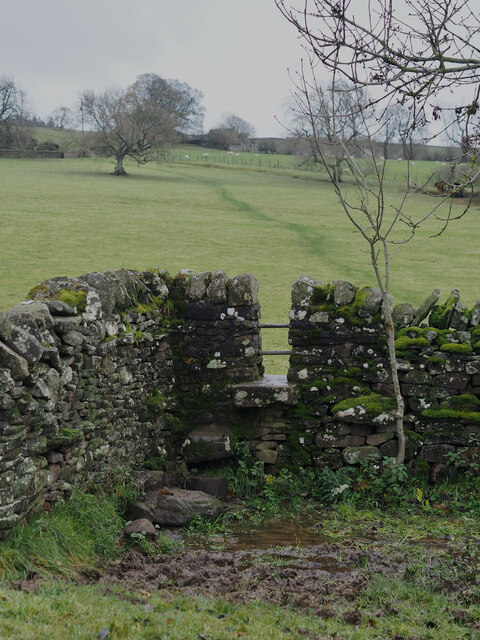
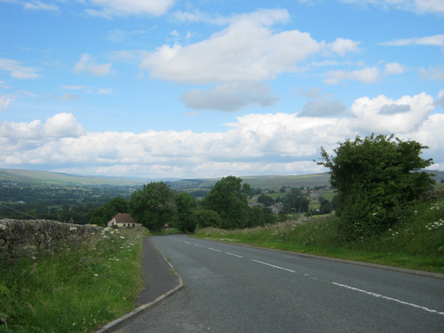
Romaldkirk Images

Images are sourced within 2km of 54.593605/-2.010211 or Grid Reference NY9922. Thanks to Geograph Open Source API. All images are credited.

Not so old Boundary Marker on the west bank of the River Tees Parish Boundary Marker on the south side of a stream running into the River Tees. On the boundary of Hunderthwaite and Romaldkirk parishes. Inscribed HUNDERTHWAITE. The Romaldkirk marker is at NZ 00480 21316 on the north bank of the stream. A list of the boundary markers can be found here <span class="nowrap"><a title="https://1drv.ms/w/s!Apt1XW0zY8DDgcFsnkpupbpYSiiVEQ?e=TaoW1W" rel="nofollow ugc noopener" href="https://1drv.ms/w/s!Apt1XW0zY8DDgcFsnkpupbpYSiiVEQ?e=TaoW1W">Link</a><img style="margin-left:2px;" alt="External link" title="External link - shift click to open in new window" src="https://s1.geograph.org.uk/img/external.png" width="10" height="10"/></span>. Read "Marking Parish Boundaries Along the Teesdale Way" ISBN 0 9520624 2 9.

Milestone Society National ID: YN_TEES10pb
Not so old Boundary Marker on the west bank of the River Tees
Parish Boundary Marker on the south side of a stream running into the River Tees. On the boundary of Hunderthwaite and Romaldkirk parishes. Inscribed HUNDERTHWAITE. The Romaldkirk marker is at NZ 00480 21316 on the north bank of the stream. A list of the boundary markers can be found here LinkExternal link. Read "Marking Parish Boundaries Along the Teesdale Way" ISBN 0 9520624 2 9. Milestone Society National ID: YN_TEES10pb
Not so old Boundary Marker on the west bank of the River Tees Parish Boundary Marker on the north side of a stream running into the River Tees. On the boundary of Hunderthwaite and Romaldkirk parishes. Inscribed ROMALDKIRK. The Hunderthwaite marker is at NZ 00479 21315 on the south bank of the stream. A list of the boundary markers can be found here <span class="nowrap"><a title="https://1drv.ms/w/s!Apt1XW0zY8DDgcFsnkpupbpYSiiVEQ?e=TaoW1W" rel="nofollow ugc noopener" href="https://1drv.ms/w/s!Apt1XW0zY8DDgcFsnkpupbpYSiiVEQ?e=TaoW1W">Link</a><img style="margin-left:2px;" alt="External link" title="External link - shift click to open in new window" src="https://s1.geograph.org.uk/img/external.png" width="10" height="10"/></span>. Read "Marking Parish Boundaries Along the Teesdale Way" ISBN 0 9520624 2 9.

Milestone Society National ID: YN_TEES10pb
Not so old Boundary Marker on the west bank of the River Tees
Parish Boundary Marker on the north side of a stream running into the River Tees. On the boundary of Hunderthwaite and Romaldkirk parishes. Inscribed ROMALDKIRK. The Hunderthwaite marker is at NZ 00479 21315 on the south bank of the stream. A list of the boundary markers can be found here LinkExternal link. Read "Marking Parish Boundaries Along the Teesdale Way" ISBN 0 9520624 2 9. Milestone Society National ID: YN_TEES10pb
Bare tree in rigg-and-furrow field
Course of the Teesdale Way near Barnley
Bare tree beside the Teesdale Way
River Tees in gorge from viewpoint above Shipley Wood
Dairy Cottage at Woden Croft
Derelict farmhouse and buildings at Low Garth
River Tees in Full Spate by the Unreachable Fairy Cupboards
Stile Struggles: Cornered by an Impassable Quagmire
Oracular Ovines
Oracular Ovines
Folly Bank on the B6278 viewed from the viewpoint near the top
B6278 The B6278 near Folly Head.
B6278
The B6278 near Folly Head.
Gueswick Hills near Romaldkirk
Fields above B6278 near Eggleston Eggleston with the B6278 can be seen at the left side of the image; the fields lie above the road on its north side. The distant high ground rises to Monk's Moor.
Fields above B6278 near Eggleston
Eggleston with the B6278 can be seen at the left side of the image; the fields lie above the road on its north side. The distant high ground rises to Monk's Moor.
The B6278 road joining the B6282 road at Eggleston
The B6277 crossing Wilden Bridge
Junction of B classified roads outside Eggleston The B6282 and the B6278 meet just east of the County Durham village of Eggleston. The blue and yellow road sign is characteristic of a style of signage introduced by County Durham some years ago.
Junction of B classified roads outside Eggleston
The B6282 and the B6278 meet just east of the County Durham village of Eggleston. The blue and yellow road sign is characteristic of a style of signage introduced by County Durham some years ago.
Show me another place!

Romaldkirk is located at Grid Ref: NY9922 (Lat: 54.593605, Lng: -2.010211)

Division: North Riding

Unitary Authority: County Durham

Police Authority: Durham

What 3 Words

///voltages.edicts.lobbed. Near Romaldkirk, Co. Durham

Related Wikis

Romaldkirk

Romaldkirk is a village in Teesdale, in the Pennines of England. The village lies within the historic boundaries of the North Riding of Yorkshire, but...

Romaldkirk railway station

Romaldkirk railway station was situated on the Tees Valley Railway between Barnard Castle and Middleton-in-Teesdale. It served the village of Romaldkirk...

Hunderthwaite

Hunderthwaite is a village and civil parish in Teesdale, in the Pennines of England. The population of the civil parish taken at the 2011 census was 114...
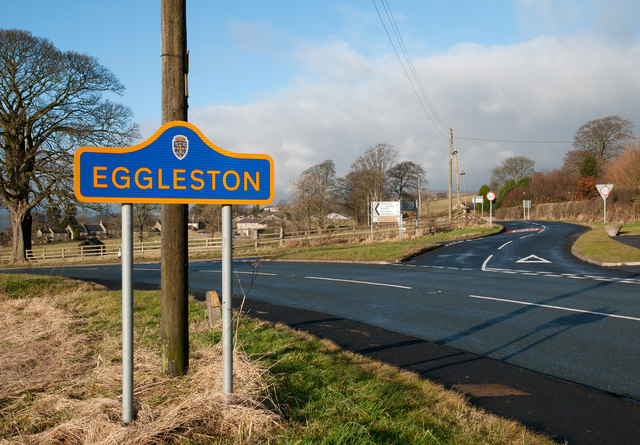
Eggleston

Eggleston is a village in County Durham, in England. The population of the civil parish taken at the 2011 Census was 448. It is in the Teesdale, a few...

Nearby Amenities

Located within 500m of 54.593605,-2.010211
Romaldkirk
Place: village
Population: 169
Wikidata: Q2700733
Wikipedia: en:Romaldkirk
Lat/Long: 54.5943962/-2.0099585
Romaldkirk
Abandoned Railway: station
End Date: 1964-11-30
Is In: UK, England, Yorkshire, Teesdale
Is In County: North Yorkshire
Is In Historic County: Yorkshire
Railway: site
Start Date: 1868-05-12
Wikidata: Q7361557
Wikipedia: en:Romaldkirk railway station
Lat/Long: 54.5933907/-2.0137084
Bus Stop
Egglestone Lane
Naptan AtcoCode: 13007003C
Naptan Bearing: E
Naptan BusStopType: MKD
Naptan CommonName: Egglestone Lane
Naptan Indicator: E-bound
Naptan Landmark: Landmark not known
Naptan NaptanCode: durdwamw
Naptan Notes: 1 Hutchison Terrace- off B6277 between Beer Beck High and Low Bridges- Romaldkirk
Naptan Street: Street not known
Naptan Verified: no
Source: naptan_import
Lat/Long: 54.5956634/-2.0102602
Bus Stop
Egglestone Lane
Naptan AtcoCode: 13007003G
Naptan Bearing: W
Naptan BusStopType: MKD
Naptan CommonName: Egglestone Lane
Naptan Indicator: W-bound
Naptan Landmark: Landmark not known
Naptan NaptanCode: durdwapa
Naptan Notes: Opposite 1 Hutchison Terrace- off B6277 between Beer Beck High and Low Bridges- Romaldkirk
Naptan Street: Street not known
Naptan Verified: no
Source: naptan_import
Lat/Long: 54.5955843/-2.0102653
Bus Stop
Hunderthwaite Road End
Naptan AtcoCode: 13007817A
Naptan Bearing: N
Naptan CommonName: Hunderthwaite Road End
Naptan Indicator: north bound
Naptan Landmark: Landmark not known
Naptan NaptanCode: durgagtj
Naptan Notes: Just south of Jesmond House- on B6277- Romaldskirk
Naptan Street: Street not known
Naptan Verified: no
Source: naptan_import
Lat/Long: 54.5921781/-2.0107061
Bus Stop
Hunderthwaite Road End
Naptan AtcoCode: 13007817E
Naptan Bearing: S
Naptan CommonName: Hunderthwaite Road End
Naptan Indicator: south bound
Naptan Landmark: Landmark not known
Naptan NaptanCode: durgagtm
Naptan Notes: Just south of Jesmond House- on B6277- Romaldskirk
Naptan Street: Street not known
Naptan Verified: no
Source: naptan_import
Lat/Long: 54.5922827/-2.0105955
Bus Stop
Kirk Inn
Naptan AtcoCode: 13007818B
Naptan Bearing: NE
Naptan CommonName: Kirk Inn
Naptan Indicator: north east bound
Naptan Landmark: Landmark not known
Naptan NaptanCode: durgagtp
Naptan Notes: Just NE of Rose and Crown Pub- Romaldskirk
Naptan Street: Street not known
Naptan Verified: no
Source: naptan_import
Lat/Long: 54.5938597/-2.0093015
Bus Stop
Kirk Inn
Naptan AtcoCode: 13007818F
Naptan Bearing: SW
Naptan CommonName: Kirk Inn
Naptan Indicator: south west bound
Naptan Landmark: Landmark not known
Naptan NaptanCode: durgagtw
Naptan Notes: Opposite Rose and Crown Pub- Romaldskirk
Naptan Street: Street not known
Naptan Verified: no
Source: naptan_import
Lat/Long: 54.593653/-2.0097812
Barrier: stile
Foot: yes
Lat/Long: 54.5966246/-2.0059503
Entrance: yes
Lat/Long: 54.5942293/-2.0090403
Roger Row
Place: locality
Source: NLS-OS-NatGrid-110k-1940-60
Lat/Long: 54.5924735/-2.0156329
Pub
Kirk Inn
Addr City: Barnard Castle
Addr Postcode: DL12 9ED
Addr Street: Sennings Lane
Addr Village: Romaldkirk
Fhrs Id: 360721
Outdoor Seating: yes
Source Addr: FHRS Open Data
Wikidata: Q26414965
Lat/Long: 54.593811/-2.0087416
Power: pole
Lat/Long: 54.5957673/-2.016537
Power: pole
Lat/Long: 54.5948932/-2.0160905
Power: pole
Lat/Long: 54.5941225/-2.0157015
Power: pole
Lat/Long: 54.5934845/-2.0153502
Power: pole
Lat/Long: 54.5926151/-2.0149599
Power: pole
Lat/Long: 54.5917868/-2.0146045
Power: pole
Lat/Long: 54.5910602/-2.0142867
Power: pole
Lat/Long: 54.5904627/-2.0140211
Power: pole
Lat/Long: 54.5898775/-2.0137636
Man Made: pump
Mechanical Driver: manual
Substance: water
Wikidata: Q26454551
Lat/Long: 54.5938447/-2.0079499
Leisure: picnic_table
Lat/Long: 54.5938427/-2.0086192
Man Made: pump
Substance: water
Wikidata: Q26414998
Lat/Long: 54.5934857/-2.01129
Telephone
Booth: K6
Covered: booth
Listed Status: Grade II
Wikidata: Q26414970
Lat/Long: 54.5934348/-2.010195
Bench
Backrest: yes
Lat/Long: 54.5918761/-2.0107341
Power: pole
Lat/Long: 54.5910719/-2.0142169
Power: pole
Lat/Long: 54.591371/-2.0130126
Power: pole
Lat/Long: 54.5916228/-2.0120189
Power: pole
Lat/Long: 54.5923866/-2.009
Power: pole
Transformer: distribution
Lat/Long: 54.5920051/-2.0105249
Post Box
Post Box Type: wall
Royal Cypher: GR
Royal Cypher Wikidata: Q33102273
Lat/Long: 54.5934177/-2.0105739
Leisure: picnic_table
Lat/Long: 54.5898698/-2.01279
Give Way
Direction: forward
Lat/Long: 54.5935837/-2.0102393
Give Way
Direction: backward
Lat/Long: 54.5935909/-2.0104905
Stop
Direction: forward
Lat/Long: 54.593591/-2.01063
The data included in this document is from www.openstreetmap.org. The data is made available under ODbL.

Have you been to Romaldkirk?

Leave your review of Romaldkirk below (or comments, questions and feedback).