Rolleston

Settlement in Nottinghamshire Newark and Sherwood

England

Rolleston

Former village pub  Formerly the French Horn pub, it had closed by 2011 <a href="https://www.geograph.org.uk/photo/2277050">SK7354 : The French Horn</a> and has since been converted to  a private residence.
Former village pub Credit: Graham Hogg

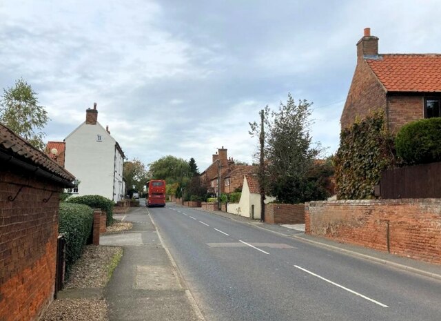
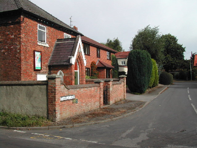
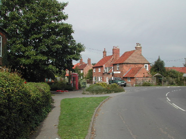
Rolleston is a small village located in the county of Nottinghamshire, England. Situated approximately 7 miles south of Nottingham, it is a rural community known for its picturesque countryside and charming atmosphere. The village is part of the Rushcliffe borough and falls within the Trent Valley electoral ward.

Rolleston is home to a population of around 1,500 residents. It boasts a rich history dating back to the medieval period, with some buildings and landmarks still showcasing its past. The Church of St. Mary the Virgin, a Grade II listed building, stands proudly in the heart of the village and is a significant historical and architectural feature.

The village offers a range of amenities and facilities to cater to the needs of its residents. These include a primary school, a village hall, a post office, and a local pub, providing a sense of community and convenience. There are also several recreational spaces such as parks and green areas, offering opportunities for outdoor activities and relaxation.

Rolleston benefits from its proximity to the city of Nottingham, with easy access to its amenities and employment opportunities. The village is well-connected through road networks, with the A52 and A46 providing convenient access to nearby towns and cities.

In conclusion, Rolleston, Nottinghamshire, is a quaint village with a rich history, offering a peaceful and idyllic countryside living experience. With its range of amenities and close proximity to Nottingham, it provides a perfect balance between rural charm and urban convenience.

If you have any feedback on the listing, please let us know in the comments section below.
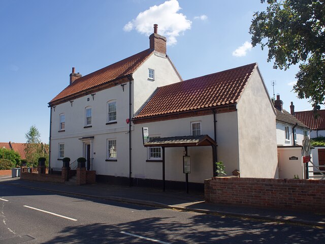
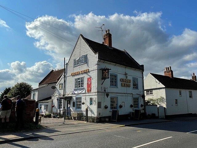
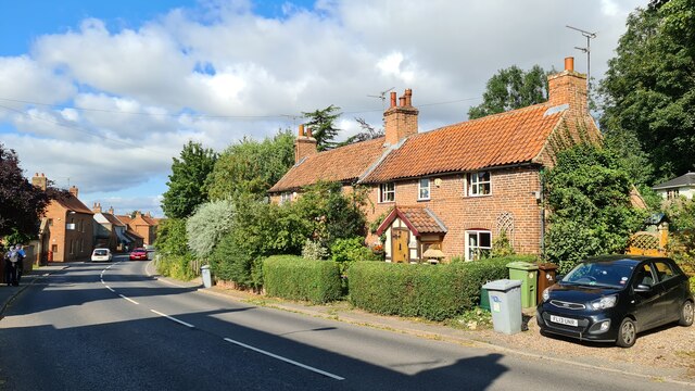
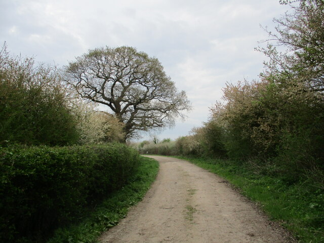
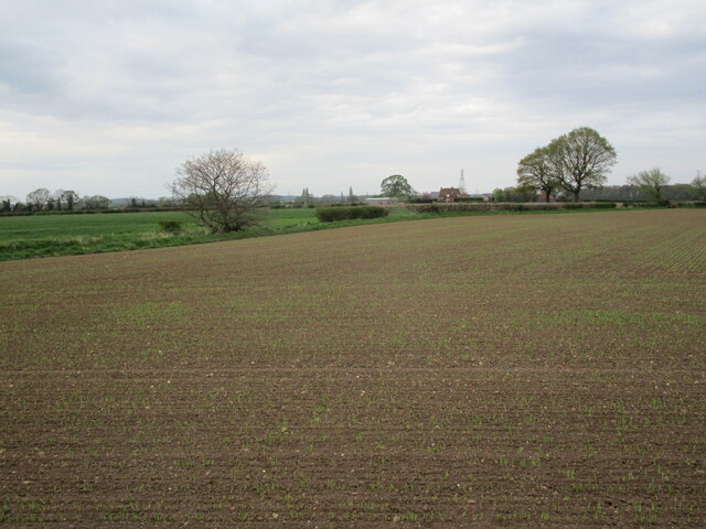
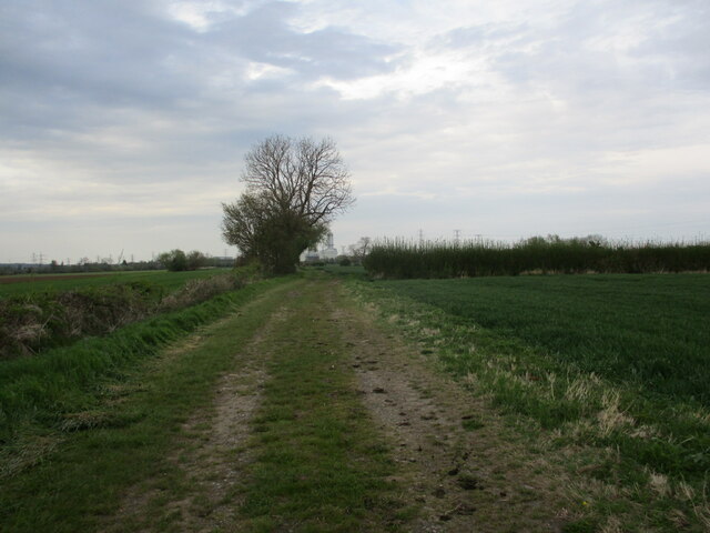
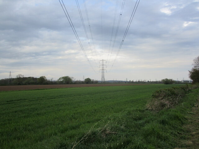
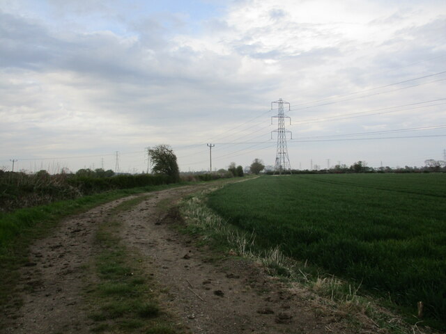
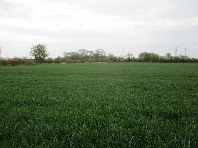
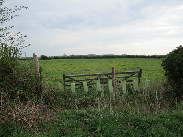
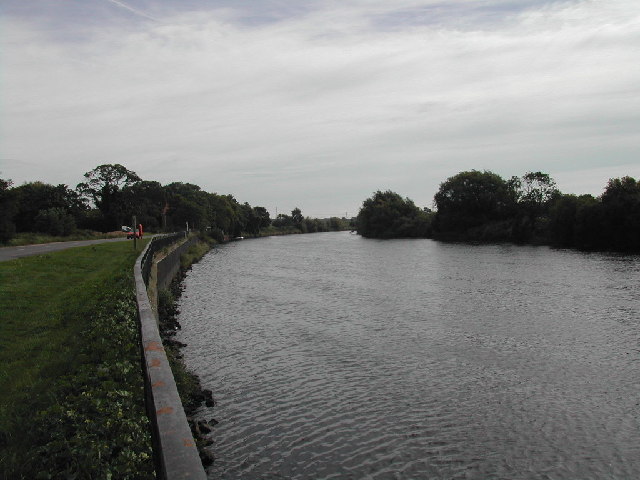
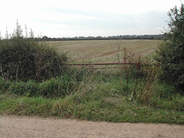
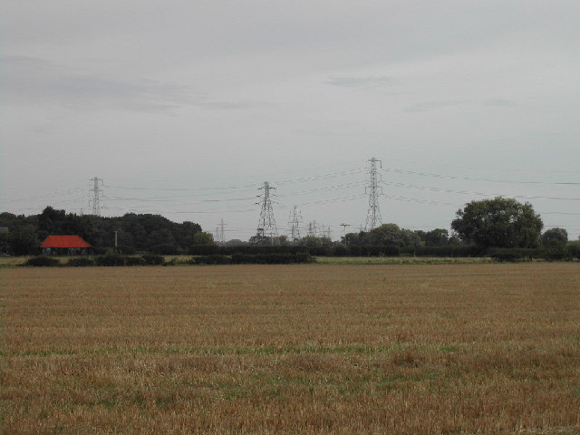
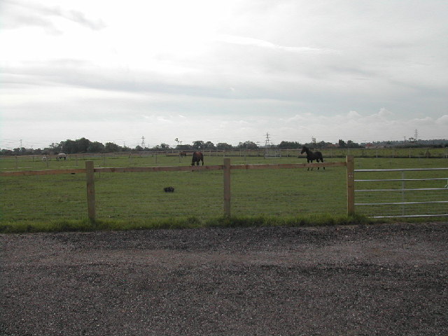
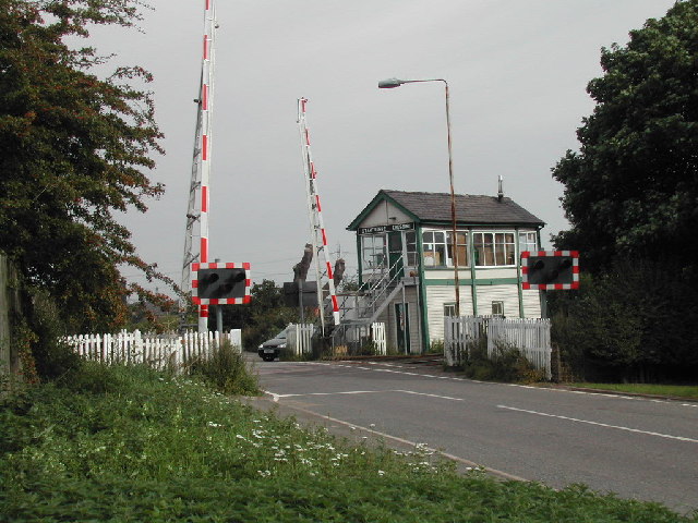
Rolleston Images

Images are sourced within 2km of 53.065012/-0.89192136 or Grid Reference SK7452. Thanks to Geograph Open Source API. All images are credited.

Former village pub  Formerly the French Horn pub, it had closed by 2011 <a href="https://www.geograph.org.uk/photo/2277050">SK7354 : The French Horn</a> and has since been converted to  a private residence.
Former village pub
Formerly the French Horn pub, it had closed by 2011 SK7354 : The French Horn and has since been converted to a private residence.
The Cross Keys Public house and restaurant in Upton. With a very kind landlady who let us park there while we walked.
The Cross Keys
Public house and restaurant in Upton. With a very kind landlady who let us park there while we walked.
Cottages, Main Street, Upton
Swallow Lane A road used as a public footpath.
Swallow Lane
A road used as a public footpath.
Spring sown crop off Swallow Lane Field Farm, Rolleston in the distance.
Spring sown crop off Swallow Lane
Field Farm, Rolleston in the distance.
Farm track, Rolleston Field
Power line, Rolleston Field Rolleston Gorse on the left, Kelham Hills in the distance.
Power line, Rolleston Field
Rolleston Gorse on the left, Kelham Hills in the distance.
Farm track, Rolleston Field Crossed by power lines.
Farm track, Rolleston Field
Crossed by power lines.
Autumn sown crop, Rolleston Field
Gap in the hedge Blocked with a gate and some new planting. A field full of celandines beyond.
Gap in the hedge
Blocked with a gate and some new planting. A field full of celandines beyond.
Main Street in Upton Looking west along Main Street. The white building on the left is the former French Horn pub and rumbling past it is the 29 bus service bus from Newark to Mansfield.
Main Street in Upton
Looking west along Main Street. The white building on the left is the former French Horn pub and rumbling past it is the 29 bus service bus from Newark to Mansfield.
Gravelly Lane, Fiskerton Village 'Gravelly' not 'Gravelley'
Gravelly Lane, Fiskerton Village
'Gravelly' not 'Gravelley'
River Trent at Fiskerton
Farm Land near Rolleston not much else in this square but fields and a fishing lake on private property
Farm Land near Rolleston
not much else in this square but fields and a fishing lake on private property
Pylons on the march stretching forever across Rolleston Field
Pylons on the march
stretching forever across Rolleston Field
Junction of Station Road, Rolleston Village
Kiric Liveries land Just out of Rolleston some lovely pasture for the horses
Kiric Liveries land
Just out of Rolleston some lovely pasture for the horses
Staythorpe Level Crossing and Signal Box
Show me another place!

Rolleston is located at Grid Ref: SK7452 (Lat: 53.065012, Lng: -0.89192136)

Administrative County: Nottinghamshire

District: Newark and Sherwood

Police Authority: Nottinghamshire

What 3 Words

///forge.cyber.desire. Near Farndon, Nottinghamshire

Nearby Locations

Rolleston Rolleston

Related Wikis

Rolleston, Nottinghamshire

Rolleston is a small village and civil parish in Nottinghamshire by the River Greet (a tributary of the River Trent), a few miles from Southwell not far...

Holy Trinity Church, Rolleston

Holy Trinity Church, Rolleston is a parish church in the Church of England in Rolleston, Nottinghamshire. == History == The church dates from the 12th...

Rolleston railway station

Rolleston station is around half a mile from the small village of Rolleston, one of the Trent-side villages near Southwell in Nottinghamshire, England...

River Greet

The River Greet is a small river in Nottinghamshire, England. Rising close to the village of Kirklington, the Greet flows in a southeasterly direction...

Southwell Racecourse

Southwell Racecourse ( SOWTH-wəl, -⁠wel, locally SUDH-əl) is a thoroughbred horse racing venue located 2 miles (3 km) east of Southwell in Nottinghamshire...

Fiskerton railway station

Fiskerton railway station, is on the Nottingham to Lincoln Line, situated 3 mi (4.8 km) south-east of the small market town of Southwell and serves the...

Fiskerton, Nottinghamshire

Fiskerton is a village and former civil parish, now in the parish of Fiskerton cum Morton, in the Newark and Sherwood district, in the county of Nottinghamshire...

Staythorpe

Staythorpe is a hamlet and civil parish in the Newark and Sherwood district of Nottinghamshire, England. == Toponymy == Staythorpe was listed in the Domesday...

Nearby Amenities

Located within 500m of 53.065012,-0.89192136
Telephone
Rolleston Village Information Centre
Defibrillator
Booth: K6
Covered: booth
Defibrillator Location: inside red phone box (that is now used as information centre) at junction of Station Road and Fiskerton Road, Rolleston
Emergency: defibrillator
Man Made: telephone_box
Tourism: information
Lat/Long: 53.0650055/-0.8920497
Railway: level_crossing
Lat/Long: 53.0663924/-0.8968649
Pub
The Crown Inn
Lat/Long: 53.0658992/-0.8908945
Bus Stop
Croft Farm Close
Bus: yes
Naptan AtcoCode: 3300NS0042
Naptan Bearing: NE
Naptan CommonName: Croft Farm Close
Naptan Crossing: Croft Farm Close
Naptan Indicator: adj
Naptan NaptanCode: ntsdpatw
Naptan Notes: none
Naptan Street: Staythorpe Road
Naptan Verified: no
Public Transport: platform
Source: naptan_import
Lat/Long: 53.0672112/-0.8898894
Bus Stop
Croft Farm Close
Bus: yes
Naptan AtcoCode: 3300NS0043
Naptan Bearing: SW
Naptan CommonName: Croft Farm Close
Naptan Crossing: Croft Farm Close
Naptan Indicator: opp
Naptan NaptanCode: ntsdpawa
Naptan Notes: none
Naptan Street: Staythorpe Road
Naptan Verified: no
Public Transport: platform
Source: naptan_import
Lat/Long: 53.0664619/-0.8905205
Bus Stop
Fiskerton Road
Bus: yes
Naptan AtcoCode: 3300NS0586
Naptan Bearing: SE
Naptan CommonName: Fiskerton Road
Naptan Crossing: Holly Court
Naptan Indicator: SE-bound
Naptan NaptanCode: ntsdjdtd
Naptan Notes: None
Naptan Street: Fiskerton Road
Naptan Verified: no
Public Transport: platform
Source: naptan_import
Lat/Long: 53.0633845/-0.8902116
Bus Stop
Fiskerton Road
Bus: yes
Naptan AtcoCode: 3300NS0587
Naptan Bearing: NW
Naptan CommonName: Fiskerton Road
Naptan Crossing: Holly Court
Naptan Indicator: NW-bound
Naptan NaptanCode: ntsdjdtg
Naptan Notes: None
Naptan Street: Fiskerton Road
Naptan Verified: no
Public Transport: platform
Source: naptan_import
Lat/Long: 53.0632496/-0.8902001
Power: tower
Source: Bing
Lat/Long: 53.0607018/-0.8931979
Power: tower
Source: Bing
Lat/Long: 53.0619913/-0.8870181
Railway: level_crossing
Lat/Long: 53.0664247/-0.8968902
Turning Circle
Lat/Long: 53.0661994/-0.894546
Rolleston Junction
Railway: junction
Lat/Long: 53.0657686/-0.8985626
Information: guidepost
Tourism: information
Lat/Long: 53.0650012/-0.8919708
Bench
Lat/Long: 53.0649771/-0.8920345
Advertising: board
Lat/Long: 53.0649666/-0.8920231
The data included in this document is from www.openstreetmap.org. The data is made available under ODbL.

Have you been to Rolleston?

Leave your review of Rolleston below (or comments, questions and feedback).