Rolleston
Settlement in Leicestershire Harborough
England
Rolleston
Rolleston is a small village located in the county of Leicestershire, England. Situated approximately 7 miles south of the city of Leicester, it falls within the district of Harborough. The village is nestled amidst picturesque countryside, offering residents and visitors a tranquil and idyllic setting.
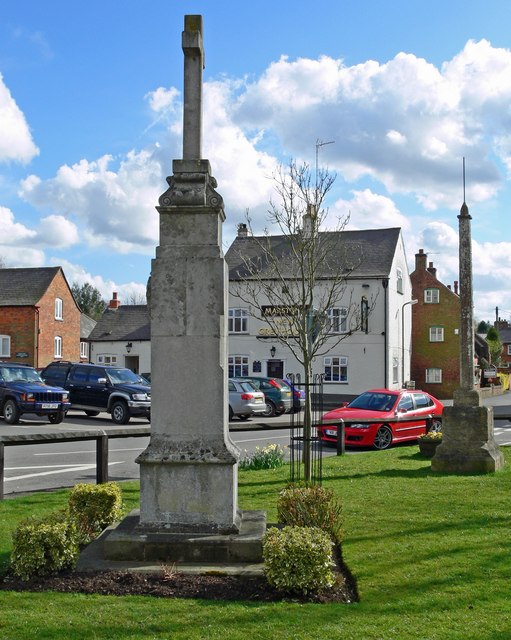
With a population of around 1,000 people, Rolleston has a close-knit community that takes pride in its village atmosphere. The local amenities include a village hall, a primary school, and a church, which all serve as central meeting points for residents. The village also has a pub, providing a place for socializing and enjoying traditional English meals.
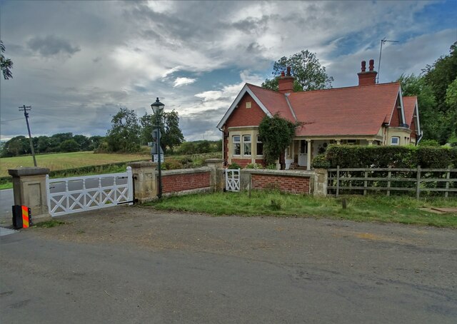
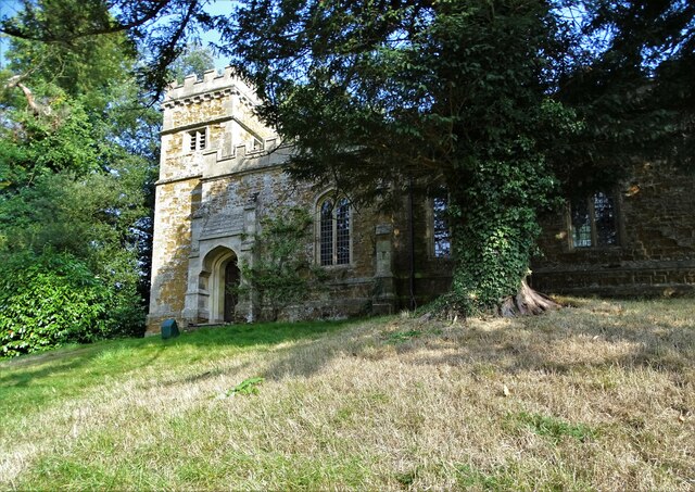
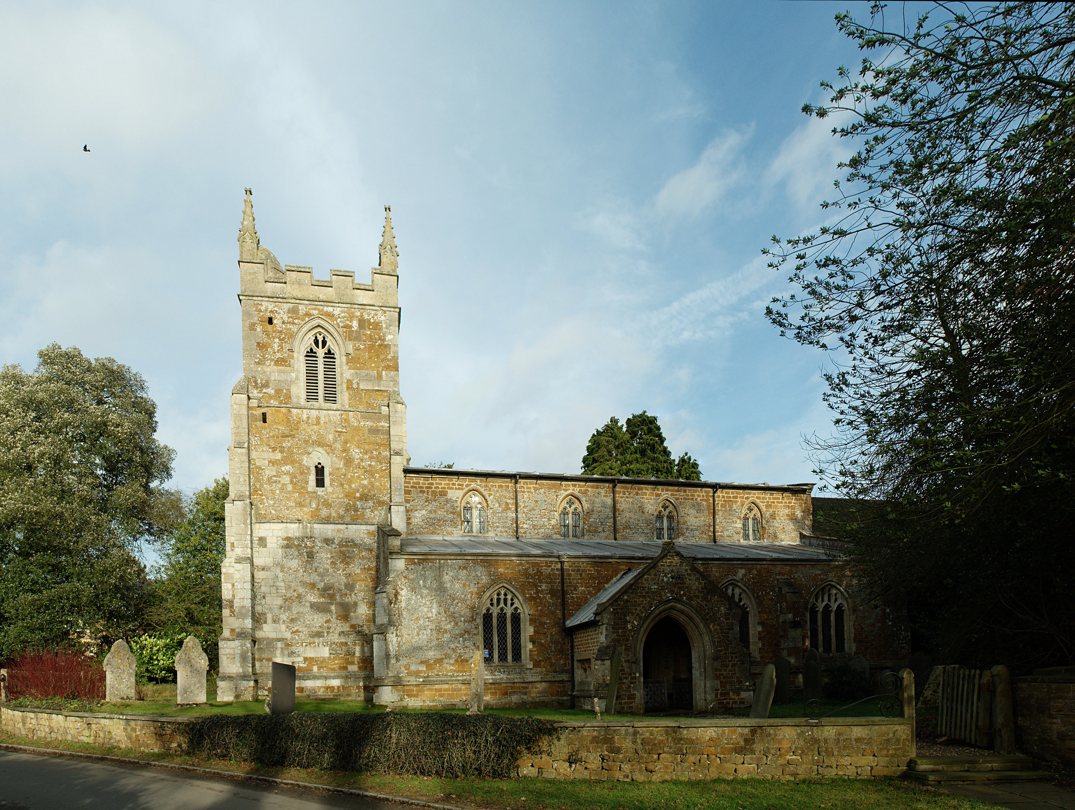
Historically, Rolleston has roots dating back to medieval times, and evidence of this can be seen in some of the village's architecture. The St Mary's Church, for example, is a Grade II listed building that showcases the village's rich heritage.
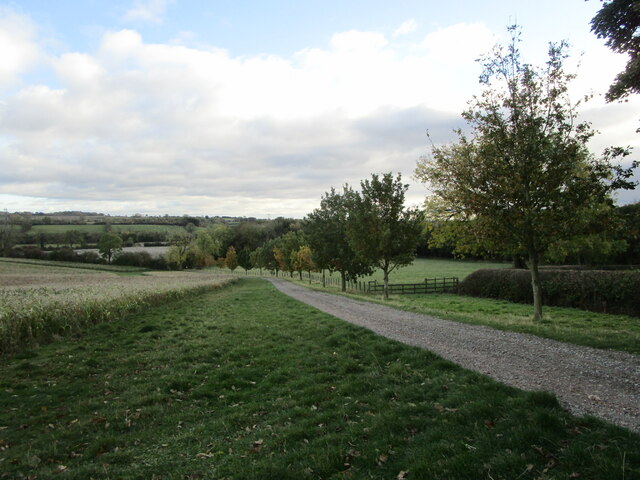
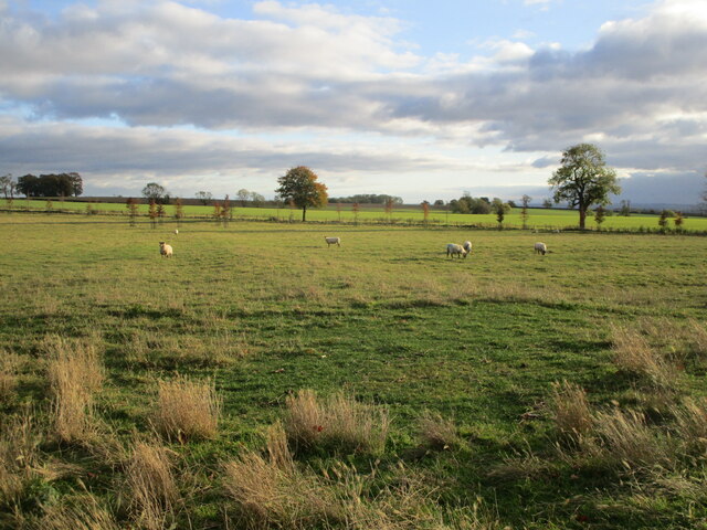
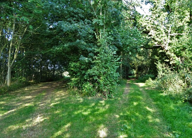
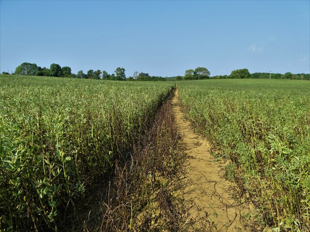
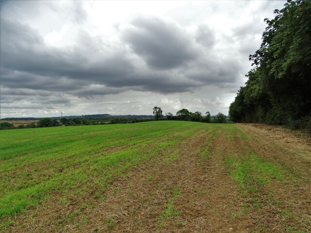
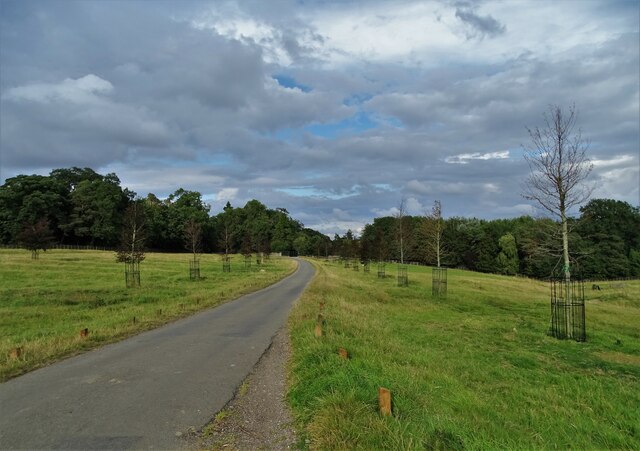
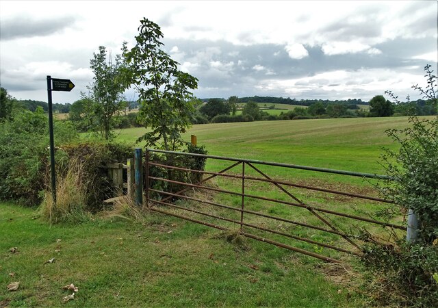
The surrounding countryside offers plenty of opportunities for outdoor activities, such as walking and cycling, with various footpaths and trails crisscrossing the area. The nearby Wistow Rural Centre provides additional recreational facilities, including a maze and a garden center.
Transport links in Rolleston are convenient, with regular bus services connecting the village to Leicester and other nearby towns and villages. The M1 motorway is also easily accessible, providing convenient access to other parts of the country.
Overall, Rolleston is a charming village that offers a peaceful and picturesque lifestyle, making it an appealing place to live or visit for those seeking a rural retreat.
If you have any feedback on the listing, please let us know in the comments section below.
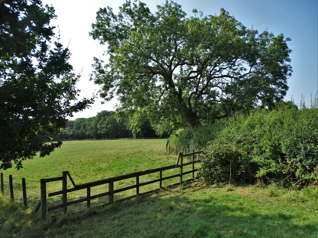
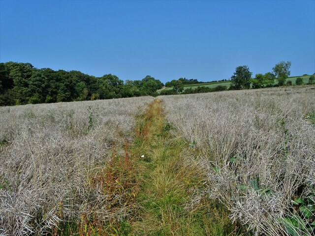
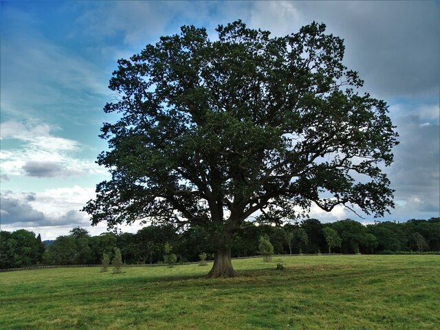
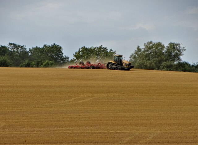
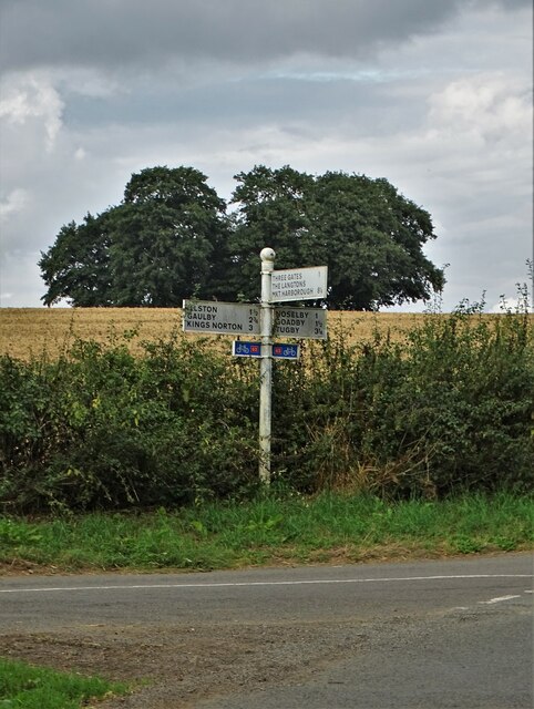
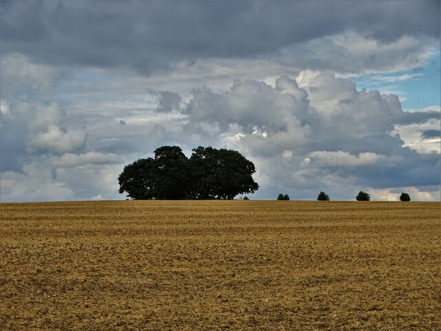
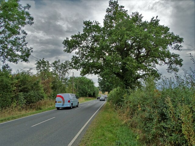
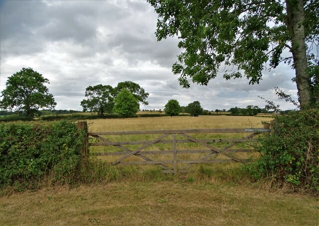
Rolleston Images
Images are sourced within 2km of 52.596807/-0.9217965 or Grid Reference SK7300. Thanks to Geograph Open Source API. All images are credited.
Rolleston is located at Grid Ref: SK7300 (Lat: 52.596807, Lng: -0.9217965)
Administrative County: Leicestershire
District: Harborough
Police Authority: Leicestershire
What 3 Words
///solicitor.insurance.year. Near Houghton on the Hill, Leicestershire
Nearby Locations
Related Wikis

Rolleston, Leicestershire
Rolleston is a parish and estate village near Billesdon in Leicestershire, England, and part of Harborough district. The population of the village is included...

Noseley
Noseley is a village and civil parish in the Harborough district of Leicestershire, England. The civil parish population at the 2011 census was 204...
Noseley Hall
Noseley Hall is a privately owned 18th-century country house situated at Noseley, Billesden, Leicestershire. It is a Grade II* listed building. Anciently...

Church of St John the Baptist, Billesdon
The Church of St John the Baptist is a church in Billesdon, Leicestershire. It is a Grade II* listed building. == History == The church is made up of a...
Skeffington Hall
Skeffington Hall is a 15th-century Manor House which stands in parkland off the main street of the village of Skeffington, Leicestershire, England. It...
Skeffington
Skeffington is a village and civil parish in the Harborough district of Leicestershire, England. It lies 11 miles/18 km east of Leicester on the A47 Uppingham...
Billesdon
Billesdon is a village and civil parish in the Harborough district of Leicestershire, England, with a population of 745 according to the 2001 census, increasing...

Illston on the Hill
Illston on the Hill is a small village and parish seven miles north of Market Harborough in the county of Leicestershire. The population of the civil parish...
Nearby Amenities
Located within 500m of 52.596807,-0.9217965Have you been to Rolleston?
Leave your review of Rolleston below (or comments, questions and feedback).