Roe Green

Settlement in Hertfordshire North Hertfordshire

England

Roe Green

Sandon church
Sandon church Credit: mym

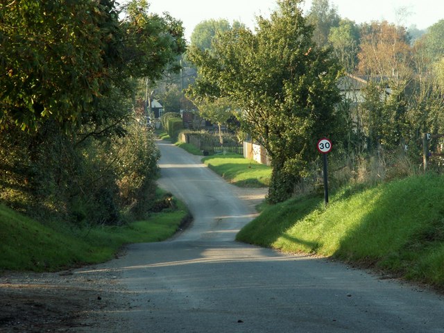
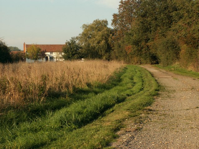
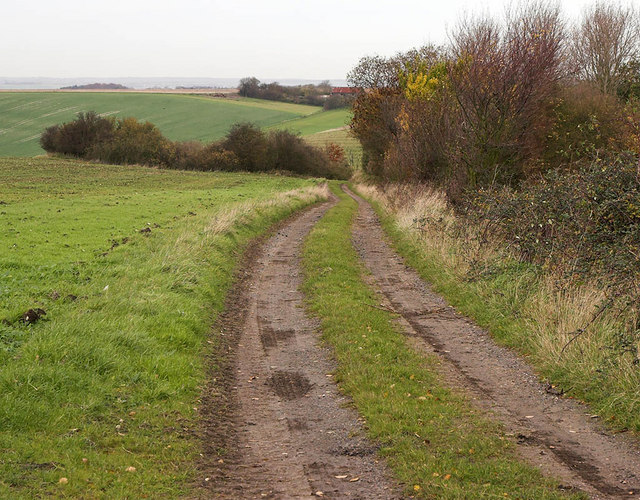
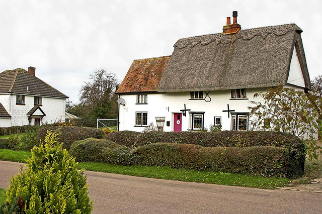
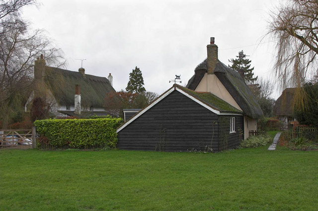
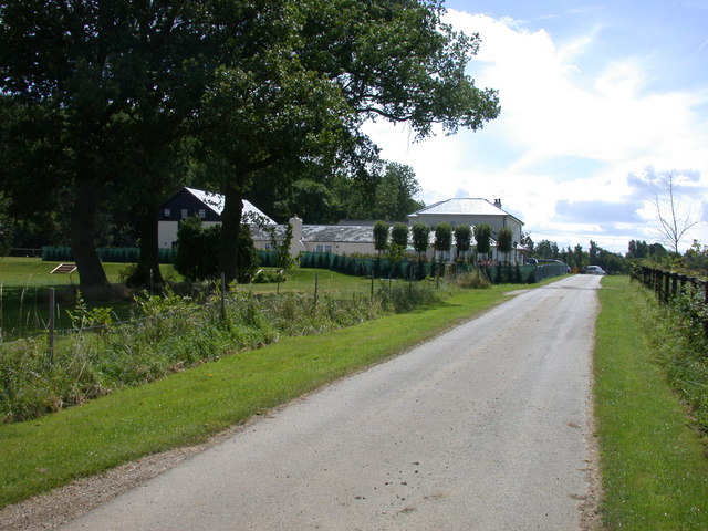
Roe Green is a picturesque village located in Hertfordshire, England. Situated in the parish of Hatfield, this small and tranquil settlement offers a charming and idyllic countryside setting. With a population of around 500 residents, Roe Green boasts a close-knit community atmosphere.

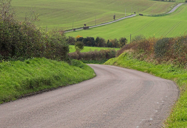
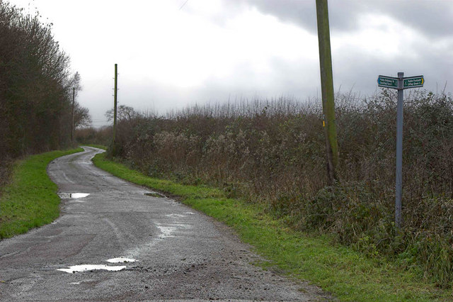
The village is surrounded by beautiful green fields and lush landscapes, providing residents with an abundance of opportunities for outdoor activities such as walking, cycling, and picnicking. Roe Green is known for its stunning views and peaceful ambiance, making it a popular destination for those seeking a break from the hustle and bustle of city life.

Despite its rural location, Roe Green benefits from excellent transport links. The nearby A1(M) motorway provides easy access to London and other major cities in the region. Hatfield railway station, just a short distance away, offers regular train services to London King's Cross, making commuting convenient for residents.

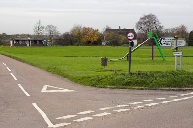
In terms of amenities, Roe Green has a primary school, a village hall, and a local pub, where residents can socialize and unwind. For more extensive shopping and entertainment options, the neighboring towns of Hatfield and St Albans are within easy reach.

Overall, Roe Green offers a peaceful and scenic living environment, with its countryside charm and close proximity to urban centers. It provides residents with a perfect blend of rural tranquility and modern conveniences, making it an ideal place to call home.

If you have any feedback on the listing, please let us know in the comments section below.

Roe Green Images

Images are sourced within 2km of 51.985055/-0.085184 or Grid Reference TL3133. Thanks to Geograph Open Source API. All images are credited.

Sandon church
Sandon church
All Saints Church - Sandon, Hertfordshire This church dates back to the 14th century but was partially restored in 1875. The tower is propped up with unusual brick buttresses.
All Saints Church - Sandon, Hertfordshire
This church dates back to the 14th century but was partially restored in 1875. The tower is propped up with unusual brick buttresses.
The hamlet of Mill End, Herts. This shows the start of Mill End, travelling north.
The hamlet of Mill End, Herts.
This shows the start of Mill End, travelling north.
Rockells Jersey Farm
House at Notley Green, Herts.
Track by Roe Wood Roe Wood is on the right of this shot - which shows the high rolling ground to be seen in this area
Track by Roe Wood
Roe Wood is on the right of this shot - which shows the high rolling ground to be seen in this area
Roe Green Farm Almost hidden behind its own windbreak, Roe Green Farm can be seen.
Roe Green Farm
Almost hidden behind its own windbreak, Roe Green Farm can be seen.
Down The Hill The shots shows the hilly nature of the terrain around these parts. Rural Hertfordshire at its best.
Down The Hill
The shots shows the hilly nature of the terrain around these parts. Rural Hertfordshire at its best.
Roe Green Village This is the Village of Roe Green where the housing is set back 100 mtrs or so from the roads serving the village. The village Cricket Green is seen along with the Pavilion. This is a typical layout for villages in this part of Hertfordshire and nearby Essex.
Roe Green Village
This is the Village of Roe Green where the housing is set back 100 mtrs or so from the roads serving the village. The village Cricket Green is seen along with the Pavilion. This is a typical layout for villages in this part of Hertfordshire and nearby Essex.
Cottage in Sandon This cottage was found located in Payne End a road leading from the Village centre
Cottage in Sandon
This cottage was found located in Payne End a road leading from the Village centre
Thatched Cottages A pleasant surprise on reaching Southern Green, was to find this group of thatched cottages.
Thatched Cottages
A pleasant surprise on reaching Southern Green, was to find this group of thatched cottages.
Road and Footpath Junction This is where the public road becomes a series of footpath's and farm tracks. The signpost shows Offley Green to be behind the camera (to the North West).
Road and Footpath Junction
This is where the public road becomes a series of footpath's and farm tracks. The signpost shows Offley Green to be behind the camera (to the North West).
All Saints, Sandon, Herts
All Saints, Sandon, Herts - East end
All Saints, Sandon, Herts
All Saints, Sandon, Herts - Font
All Saints, Sandon, Herts - Wall monument
Show me another place!

Roe Green is located at Grid Ref: TL3133 (Lat: 51.985055, Lng: -0.085184)

Administrative County: Hertfordshire

District: North Hertfordshire

Police Authority: Hertfordshire

What 3 Words

///mailers.unsettled.collision. Near Buntingford, Hertfordshire

Nearby Locations

Roe Green

Related Wikis

Blagrove Common

Blagrove Common is a 4.0-hectare (9.9-acre) Site of Special Scientific Interest in Green End near Sandon in Hertfordshire. It is managed by the Hertfordshire...

Sandon, Hertfordshire

Sandon is a village and civil parish in the North Hertfordshire district, in the county of Hertfordshire, England. Sandon is located near the towns of...

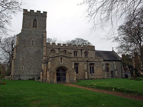
All Saints' Church, Sandon

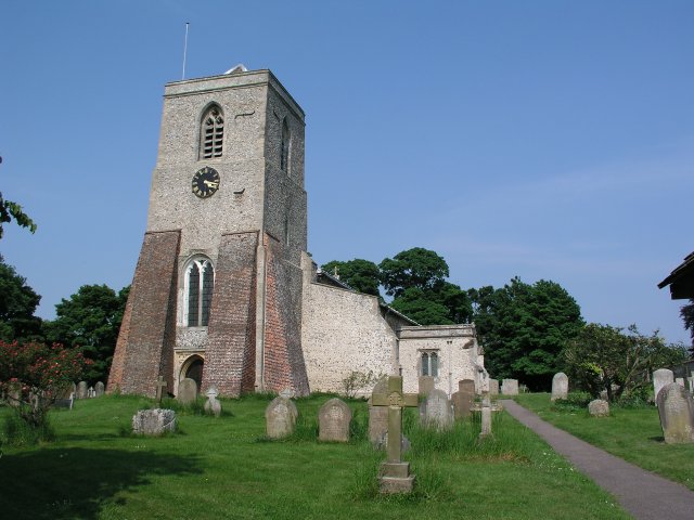
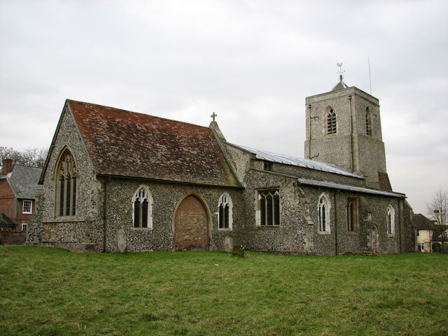
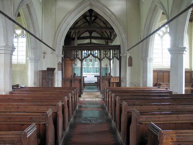
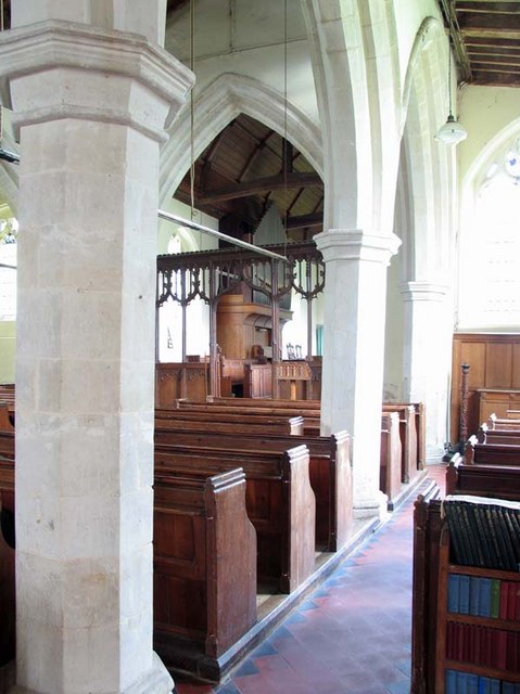
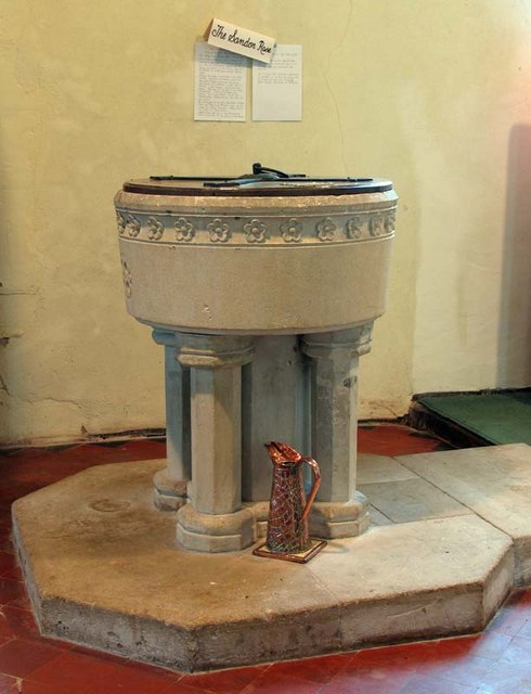
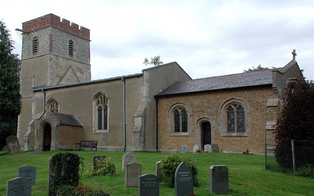
All Saints' Church is a Church of England Parish Church in Sandon, Hertfordshire, England. It is listed Grade I. == History == At the time of the Domesday...

Wallington, Hertfordshire

Wallington is a small village and civil parish in the North Hertfordshire district, in the county of Hertfordshire, England, near the town of Baldock....

Rushden, Hertfordshire

Rushden is a small village and civil parish which forms part of the grouped parish council of Rushden and Wallington in the North Hertfordshire district...

Hawkins Wood

Hawkins Wood is a 10 hectare nature reserve south of Therfield in Hertfordshire. It is managed by the Herts and Middlesex Wildlife Trust.The wood is thought...

Broadfield, Hertfordshire

Broadfield is a hamlet and former civil parish, now in the parish of Cottered, in the East Hertfordshire district, in the county of Hertfordshire, England...

Kelshall

Kelshall is a small village in North East Hertfordshire, England. It is near the town of Royston. It has a village hall and the local church is St Faith...

Nearby Amenities

Located within 500m of 51.985055,-0.085184
Barrier: kissing_gate
Bicycle: no
Foot: yes
Source: GPS, observation
Lat/Long: 51.9892129/-0.0866751
Barrier: kissing_gate
Bicycle: no
Foot: yes
Source: GPS, observation
Lat/Long: 51.9886065/-0.0876055
Barrier: kissing_gate
Bicycle: no
Foot: yes
Source: GPS, observation
Lat/Long: 51.9881887/-0.0880785
Barrier: kissing_gate
Bicycle: no
Foot: yes
Source: GPS, observation
Lat/Long: 51.9876996/-0.0885635
Barrier: kissing_gate
Foot: yes
Source: GPS, observation
Lat/Long: 51.9866638/-0.0907087
Roe Green
Place: hamlet
Lat/Long: 51.9866223/-0.0871316
Post Box
Roe Green
Collection Times: Mo-Fr 17:30; Sa 08:00
Post Box Mounting: brick_pillar
Post Box Type: wall
Ref: SG9 106
Royal Cypher: EIIR
Royal Cypher Wikidata: Q33102113
Lat/Long: 51.9867658/-0.0860652
Public Bookcase
Booth: K6
Disused Amenity: telephone
Man Made: telephone_box
Public Bookcase Type: phone_box
Lat/Long: 51.9867311/-0.0861258
Material: wood
Power: pole
Lat/Long: 51.9866709/-0.0806378
Material: wood
Power: pole
Lat/Long: 51.9839132/-0.083342
Material: wood
Power: pole
Lat/Long: 51.9817888/-0.0851016
Material: wood
Power: pole
Lat/Long: 51.9832284/-0.0839745
Material: wood
Power: pole
Lat/Long: 51.9849275/-0.0838785
Material: wood
Power: pole
Lat/Long: 51.9846269/-0.0826286
Material: wood
Power: pole
Lat/Long: 51.9861291/-0.0811635
Material: wood
Power: pole
Lat/Long: 51.9825477/-0.0846826
Power: pole
Lat/Long: 51.9856648/-0.0860022
Material: wood
Power: pole
Lat/Long: 51.9806225/-0.085815
Material: wood
Power: pole
Lat/Long: 51.985281/-0.0852732
Material: wood
Power: pole
Lat/Long: 51.9850851/-0.0821828
Material: wood
Power: pole
Lat/Long: 51.9812856/-0.085439
Material: wood
Power: pole
Lat/Long: 51.9877611/-0.0795971
Source: survey
Lat/Long: 51.9870275/-0.0832634
Barrier: kissing_gate
Bicycle: no
Foot: yes
Source: GPS, observation
Lat/Long: 51.9892423/-0.0865151
Barrier: kissing_gate
Foot: yes
Source: GPS
Lat/Long: 51.9858976/-0.0918387
Barrier: kissing_gate
Foot: yes
Source: GPS, observation
Lat/Long: 51.9892374/-0.0865318
Advertising: board
Operator: Sandon Parish Council
Lat/Long: 51.986752/-0.0861006
Leisure: playground
Lat/Long: 51.9866681/-0.0867725
The data included in this document is from www.openstreetmap.org. The data is made available under ODbL.

Have you been to Roe Green?

Leave your review of Roe Green below (or comments, questions and feedback).