Blackhill
Settlement in Durham
England
Blackhill

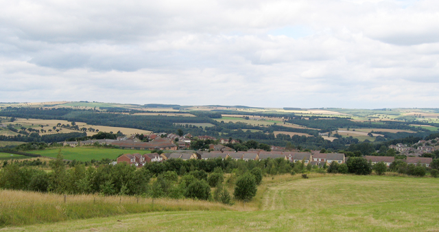
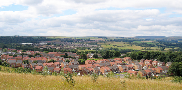
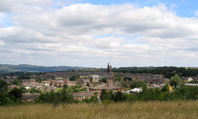
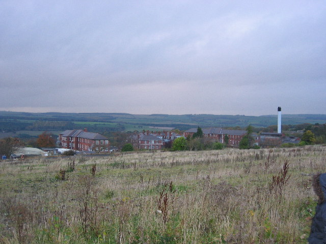
Blackhill is a small village located in County Durham, in the northeastern part of England. Situated on the outskirts of Consett, Blackhill is nestled in the beautiful landscape of the Pennines. The village is part of the wider Consett area, which has a rich industrial history.
Blackhill is known for its close-knit community and peaceful atmosphere. The village is characterized by rows of terraced houses built during the industrial era, giving it a distinct charm. Many of these houses were originally constructed for workers in the nearby coal mines and steelworks that were once thriving industries in the area.
Although the coal mines and steelworks have long closed, Blackhill has managed to retain its sense of identity and community spirit. The village offers a range of amenities to its residents, including several local shops, pubs, and a community center. The nearby town of Consett provides further facilities and services.
Nature enthusiasts are drawn to Blackhill for its proximity to stunning countryside, with the North Pennines Area of Outstanding Natural Beauty just a stone's throw away. The area offers numerous opportunities for outdoor activities, such as hiking, cycling, and wildlife spotting.
Blackhill is well-connected to other parts of County Durham and the wider region. The A691 road passes through the village, providing easy access to nearby towns and cities, including Durham itself, which is approximately 10 miles away.
Overall, Blackhill offers a tranquil living environment with a strong community spirit, making it an attractive place to reside in County Durham.
If you have any feedback on the listing, please let us know in the comments section below.
Blackhill Images
Images are sourced within 2km of 54.859835/-1.849635 or Grid Reference NZ0951. Thanks to Geograph Open Source API. All images are credited.


Blackhill is located at Grid Ref: NZ0951 (Lat: 54.859835, Lng: -1.849635)
Unitary Authority: County Durham
Police Authority: Durham
What 3 Words
///random.share.pinks. Near Consett, Co. Durham
Nearby Locations
Related Wikis
Blackhill railway station
Blackhill railway station served the village of Blackhill, County Durham, England from 1867 to 1955 on the Derwent Valley Line. == History == The station...
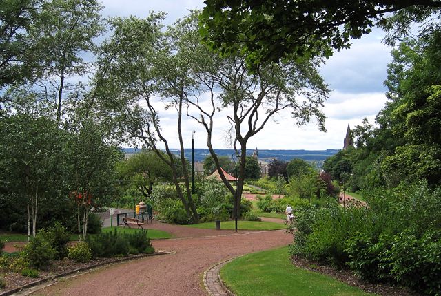
Blackhill and Consett Park
Blackhill and Consett Park is a park in Consett, County Durham, England. The park along with Benfieldside Cemetery and a number of buildings comprise the...

Bridgehill
Bridgehill is an area of Consett in County Durham, England. It is situated near Benfieldside, Blackhill, Shotley Grove, and the River Derwent. == References... ==

Benfieldside
Benfieldside is a parish in County Durham, in England. Although not a village in its own right (ecclesiastically it incorporates Shotley Bridge, Bridgehill...
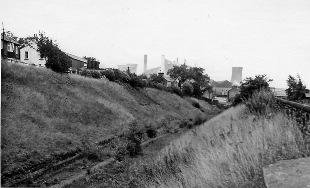
Consett Power Station
Consett Power Station refers to numerous, now demolished coal-fired power stations situated on various sites around Consett in County Durham, North East...
Shotley Grove
Shotley Grove is a small settlement on the river Derwent, about 1 mile upstream of Shotley Bridge in County Durham, England. Today Shotley Grove is a pleasant...

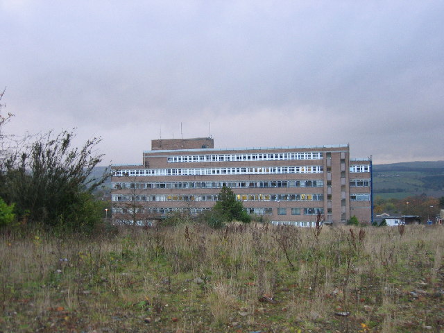
Shotley Bridge Hospital
Shotley Bridge Hospital is a healthcare facility in Shotley Bridge, County Durham, England. It is managed by the County Durham and Darlington NHS Foundation...
Shotley Bridge
Shotley Bridge is a village, adjoining the town of Consett to the south in County Durham, England, 15 miles North West of Durham City. It is located on...
Nearby Amenities
Located within 500m of 54.859835,-1.849635Have you been to Blackhill?
Leave your review of Blackhill below (or comments, questions and feedback).