Roche
Settlement in Cornwall
England
Roche
Roche is a small village located in Cornwall, England. Nestled within the beautiful countryside, Roche is situated approximately 10 miles northeast of the popular tourist destination of St. Austell.
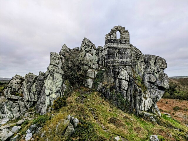
One of the most prominent features of Roche is the iconic Roche Rock, a towering granite outcrop that emerges dramatically from the surrounding landscape. This natural formation has long been a symbol of the village and is often a subject of admiration and intrigue for visitors. The rock is also home to the ruins of St. Michael's Chapel, further enhancing its historical and cultural significance.
The village itself is a charming and picturesque place, with traditional stone houses lining its streets. It has a close-knit community feel, and residents often take pride in maintaining the village's character and heritage.
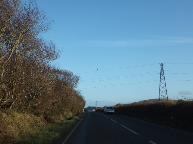
Roche also offers a range of amenities, including a primary school, local shops, and a pub, which serves as a social hub for both locals and tourists. The village is well-connected to nearby towns and cities, with regular bus services and easy access to the A30 road.
Surrounded by rolling hills and lush countryside, Roche provides an ideal base for exploring the natural beauty of Cornwall. The nearby Luxulyan Valley, a UNESCO World Heritage site, offers stunning walks and a glimpse into Cornwall's industrial past.
Overall, Roche offers a peaceful and idyllic setting, rich in history and natural beauty, making it a popular destination for those seeking a rural retreat in Cornwall.
If you have any feedback on the listing, please let us know in the comments section below.
Roche Images
Images are sourced within 2km of 50.4072/-4.83405 or Grid Reference SW9860. Thanks to Geograph Open Source API. All images are credited.


Roche is located at Grid Ref: SW9860 (Lat: 50.4072, Lng: -4.83405)
Unitary Authority: Cornwall
Police Authority: Devon and Cornwall
What 3 Words
///dabbling.caked.poppy. Near Roche, Cornwall
Related Wikis

Roche, Cornwall
Roche (, "roach"; Cornish: Tregarrek, meaning homestead of the rock) is a civil parish and village in mid-Cornwall, England, United Kingdom. The village...
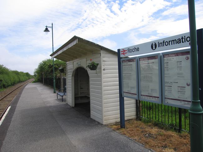
Roche railway station
Roche railway station (Cornish: Tregarrek) serves the village of Roche in Cornwall, England. The station is situated on the Atlantic Coast Line, 290 miles...
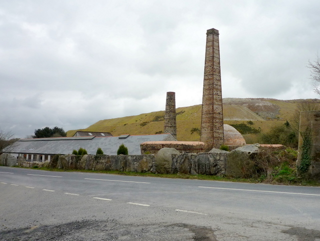
Carbis
Carbis is a hamlet 0.9 miles (1.4 km) east of Roche in Cornwall, England. Carbis lies at about 495 feet (151 m) above sea level. Rosemellyn China Clay...

Victoria, Cornwall
Victoria is a hamlet in Cornwall, England, UK. It is located in the civil parish of Roche, 1 mile (1.6 km) north of Roche village and 6 miles (9.7 km)...
Nearby Amenities
Located within 500m of 50.4072,-4.83405Have you been to Roche?
Leave your review of Roche below (or comments, questions and feedback).