Rochdale
Settlement in Lancashire
England
Rochdale
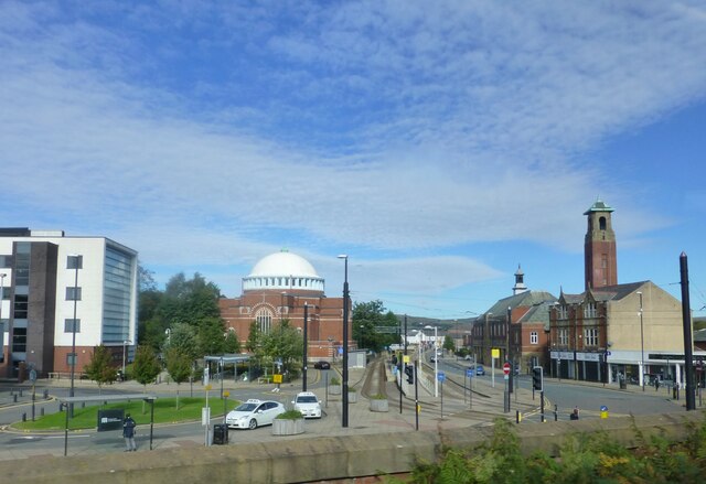
Rochdale is a town located in the county of Lancashire, in the North West region of England. Situated at the foothills of the South Pennines, it lies along the River Roch and is approximately 9 miles north-northeast of the city of Manchester. With a population of around 95,000 residents, Rochdale is the largest town in the Metropolitan Borough of Rochdale.
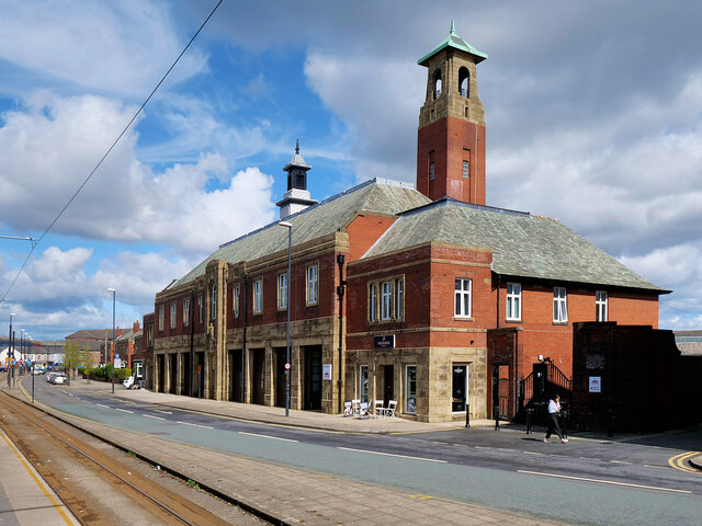
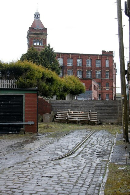
The town has a rich industrial heritage, with its roots dating back to the Middle Ages. It was a prominent center for the textile industry during the 19th century, particularly known for its cotton mills. Today, Rochdale is known for its diverse economy, encompassing sectors such as manufacturing, retail, healthcare, and education. It is also home to a number of notable landmarks, including Rochdale Town Hall, a Grade I listed building renowned for its Victorian Gothic architecture.
Rochdale boasts a vibrant cultural scene, with various museums, art galleries, and theaters offering a range of entertainment options. The town is also known for its strong sporting traditions, with football being a popular pastime. The local football club, Rochdale AFC, competes in the English Football League One.
Rochdale offers a mix of urban and rural landscapes, with beautiful countryside surrounding the town. The nearby South Pennines provide opportunities for outdoor activities such as hiking and cycling. The town benefits from good transport links, including rail connections to Manchester and Leeds, and is situated close to major motorways, making it easily accessible for commuters and visitors alike.
If you have any feedback on the listing, please let us know in the comments section below.
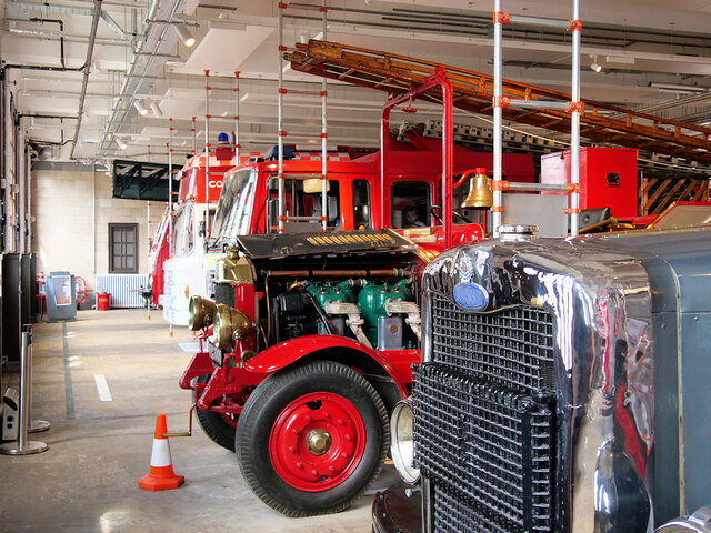
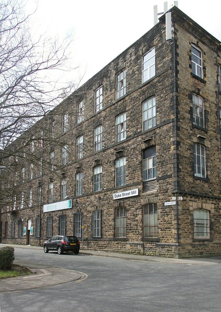
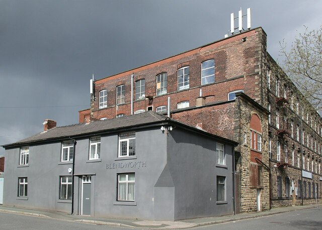
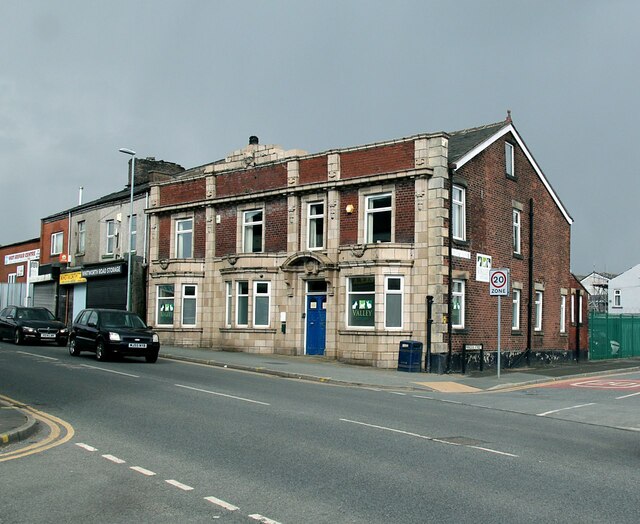
Rochdale Images
Images are sourced within 2km of 53.616956/-2.156716 or Grid Reference SD8913. Thanks to Geograph Open Source API. All images are credited.
Rochdale is located at Grid Ref: SD8913 (Lat: 53.616956, Lng: -2.156716)
Unitary Authority: Rochdale
Police Authority: Greater Manchester
What 3 Words
///sprint.keeps.tulip. Near Rochdale, Manchester
Nearby Locations
Related Wikis

Metropolitan Borough of Rochdale
The Metropolitan Borough of Rochdale is a metropolitan borough of Greater Manchester in England. Its largest town is Rochdale and the wider borough covers...

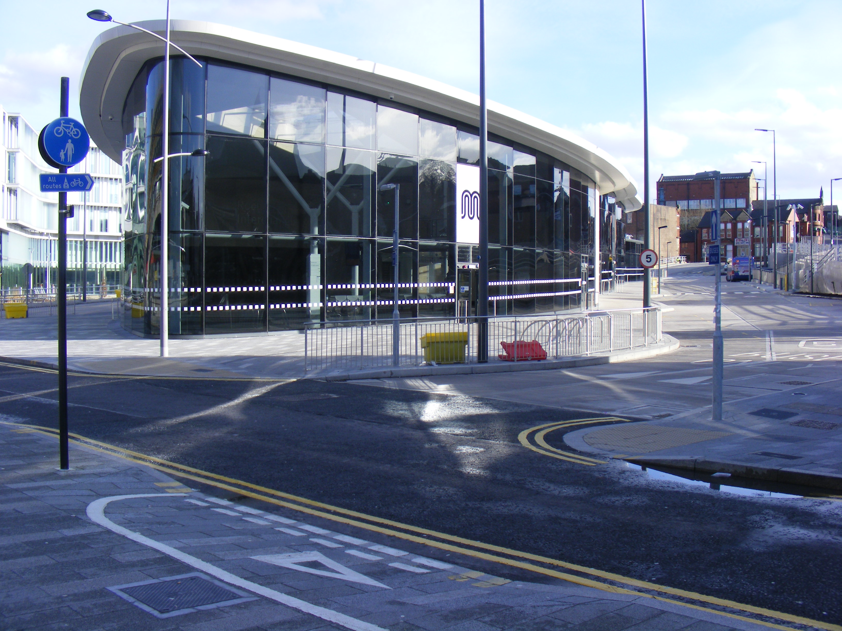
Rochdale Town Centre tram stop
Rochdale Town Centre is a tram stop and the terminus on the Oldham and Rochdale Line (ORL) of Greater Manchester's light-rail Metrolink system. It was...
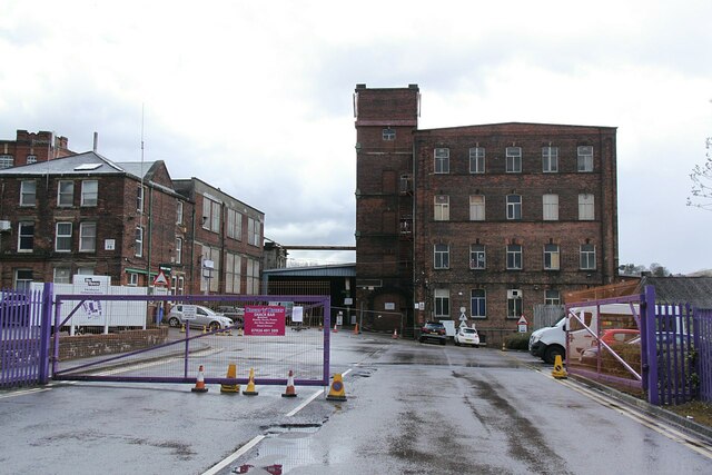
Rochdale Interchange
Rochdale Interchange is a transport hub located in the town of Rochdale in Greater Manchester, England, run by Transport for Greater Manchester. It was...

Number One Riverside
Number One Riverside is a multi-use public building in Rochdale, Greater Manchester, England. It incorporates Rochdale Metropolitan Borough Council civic...

Rochdale Cenotaph
Rochdale Cenotaph is a First World War memorial on the Esplanade in Rochdale, Greater Manchester, in the north west of England. Designed by Sir Edwin Lutyens...
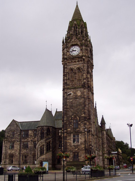
Rochdale Town Hall
Rochdale Town Hall is a Victorian-era municipal building in Rochdale, Greater Manchester, England. It is "widely recognised as being one of the finest...
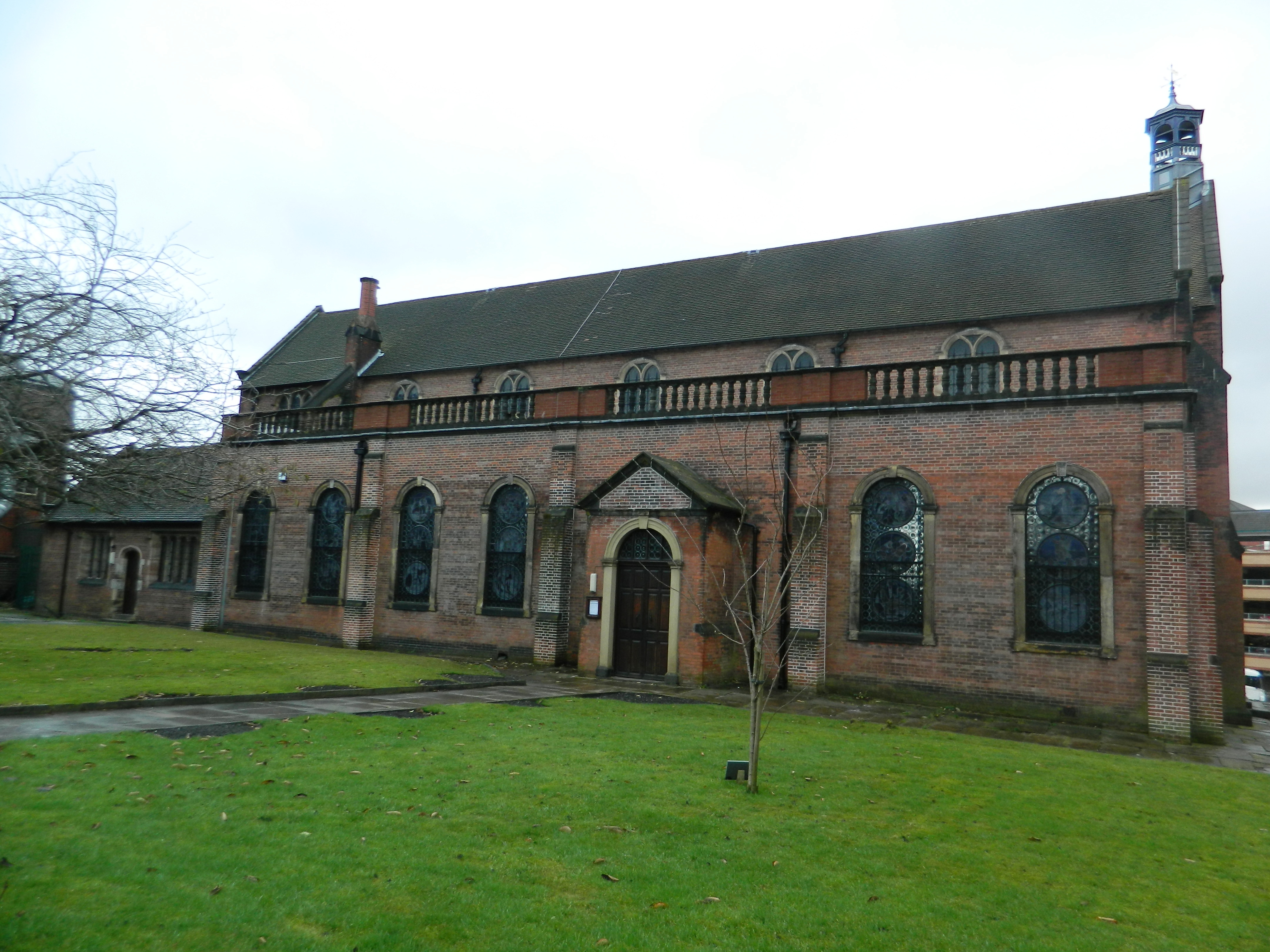
Church of St Mary in the Baum, Rochdale
The Church of St Mary in the Baum or Church of St Mary-in-the-Baum is a church in the town of Rochdale, Greater Manchester, England. Commissioned in 1738...
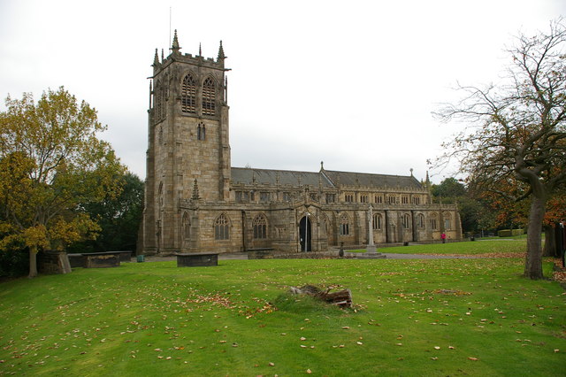
Rochdale (ancient parish)
Rochdale was an ecclesiastical parish of early-medieval origin in northern England, administered from the Church of St Chad, Rochdale. At its zenith, it...
Nearby Amenities
Located within 500m of 53.616956,-2.156716Have you been to Rochdale?
Leave your review of Rochdale below (or comments, questions and feedback).