Riverside
Settlement in Devon
England
Riverside

Riverside is a charming village located in the county of Devon, England. Situated in the picturesque South Hams district, it is nestled along the banks of the River Dart. With its idyllic countryside setting and close proximity to the Dartmoor National Park, Riverside offers a tranquil and scenic escape for locals and tourists alike.
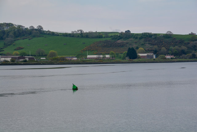
The village is renowned for its natural beauty, with lush green fields, rolling hills, and the meandering river creating a breathtaking backdrop. Visitors can enjoy leisurely walks along the riverbank, taking in the stunning views and observing the abundant wildlife that calls this area home.
Riverside is also famous for its historic charm. The village boasts a collection of charming cottages and traditional buildings, many of which date back to the 17th and 18th centuries. The village's rich history can be explored further at the local museum, which showcases artifacts and exhibits detailing Riverside's past.
For outdoor enthusiasts, Riverside offers a range of activities to enjoy. Fishing is a popular pastime, with the River Dart providing ample opportunities to catch salmon and trout. The surrounding countryside is also perfect for hiking, cycling, and horseback riding, with numerous trails and paths to explore.
In terms of amenities, Riverside is well-served by a range of local shops, pubs, and cafes, providing residents and visitors with everything they need for a comfortable stay. Additionally, the nearby town of Totnes offers a wider range of amenities, including supermarkets and entertainment facilities.
Overall, Riverside is a picturesque and peaceful village that offers a true taste of rural Devon. Its natural beauty, rich history, and range of outdoor activities make it a popular destination for those seeking a tranquil escape in the heart of the countryside.
If you have any feedback on the listing, please let us know in the comments section below.
Riverside Images
Images are sourced within 2km of 50.404365/-4.202005 or Grid Reference SX4358. Thanks to Geograph Open Source API. All images are credited.


Riverside is located at Grid Ref: SX4358 (Lat: 50.404365, Lng: -4.202005)
Unitary Authority: Plymouth
Police Authority: Devon and Cornwall
What 3 Words
///device.beast.horses. Near Saltash, Cornwall
Nearby Locations
Related Wikis

Saltash Passage
Saltash Passage (or Riverside) is on the Devon side of the River Tamar, opposite Saltash. It is part of St Budeaux, an area of Plymouth in Devon. Saltash...

Saltash Ferry
The Saltash Ferry was a ferry across the River Tamar between Saltash, Cornwall and Plymouth, Devon. It was replaced in 1961 by the Tamar Bridge. ��2�...

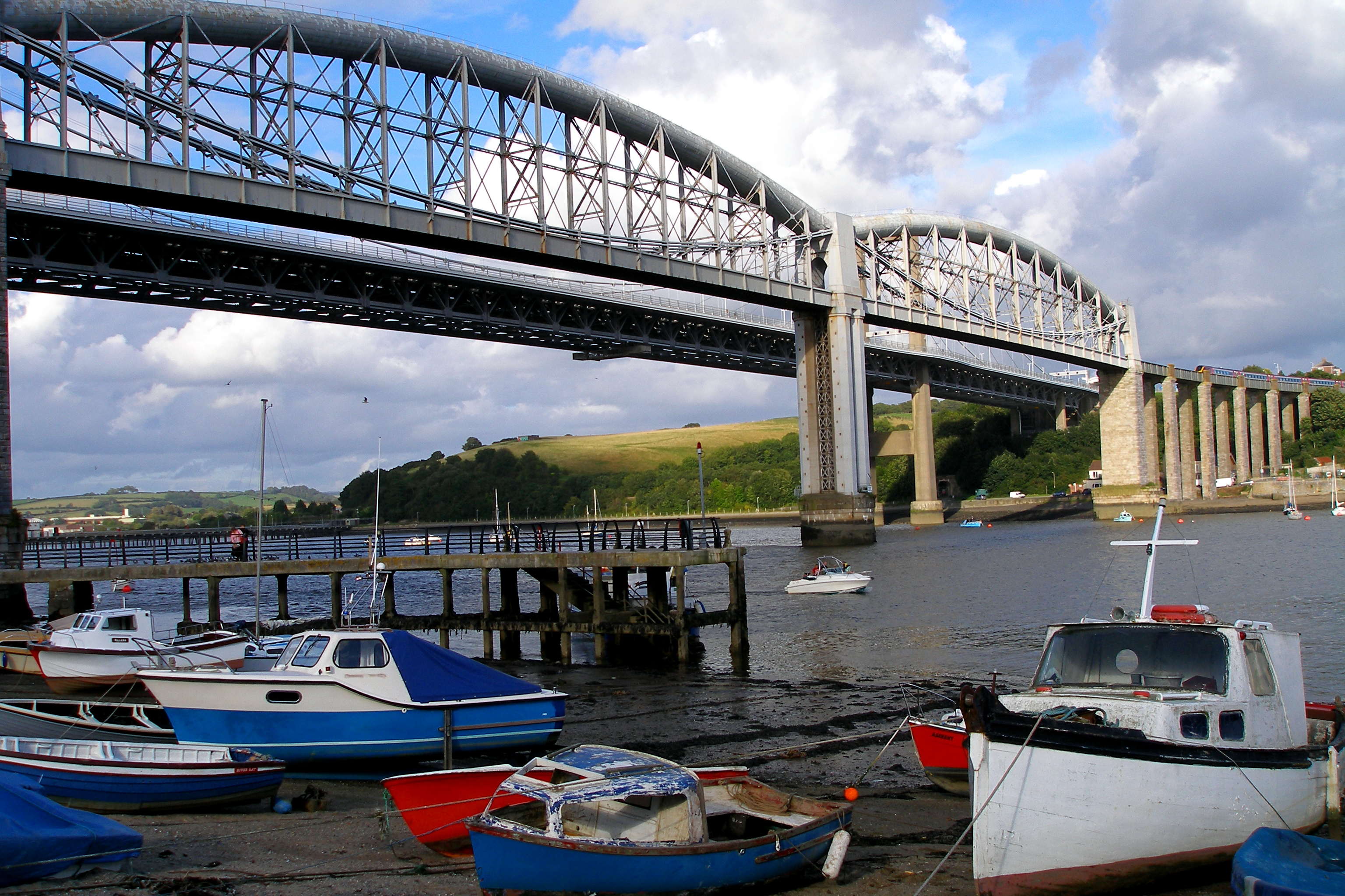
Royal Albert Bridge
The Royal Albert Bridge is a railway bridge which spans the River Tamar in England between Plymouth, Devon and Saltash, Cornwall. Its unique design consists...
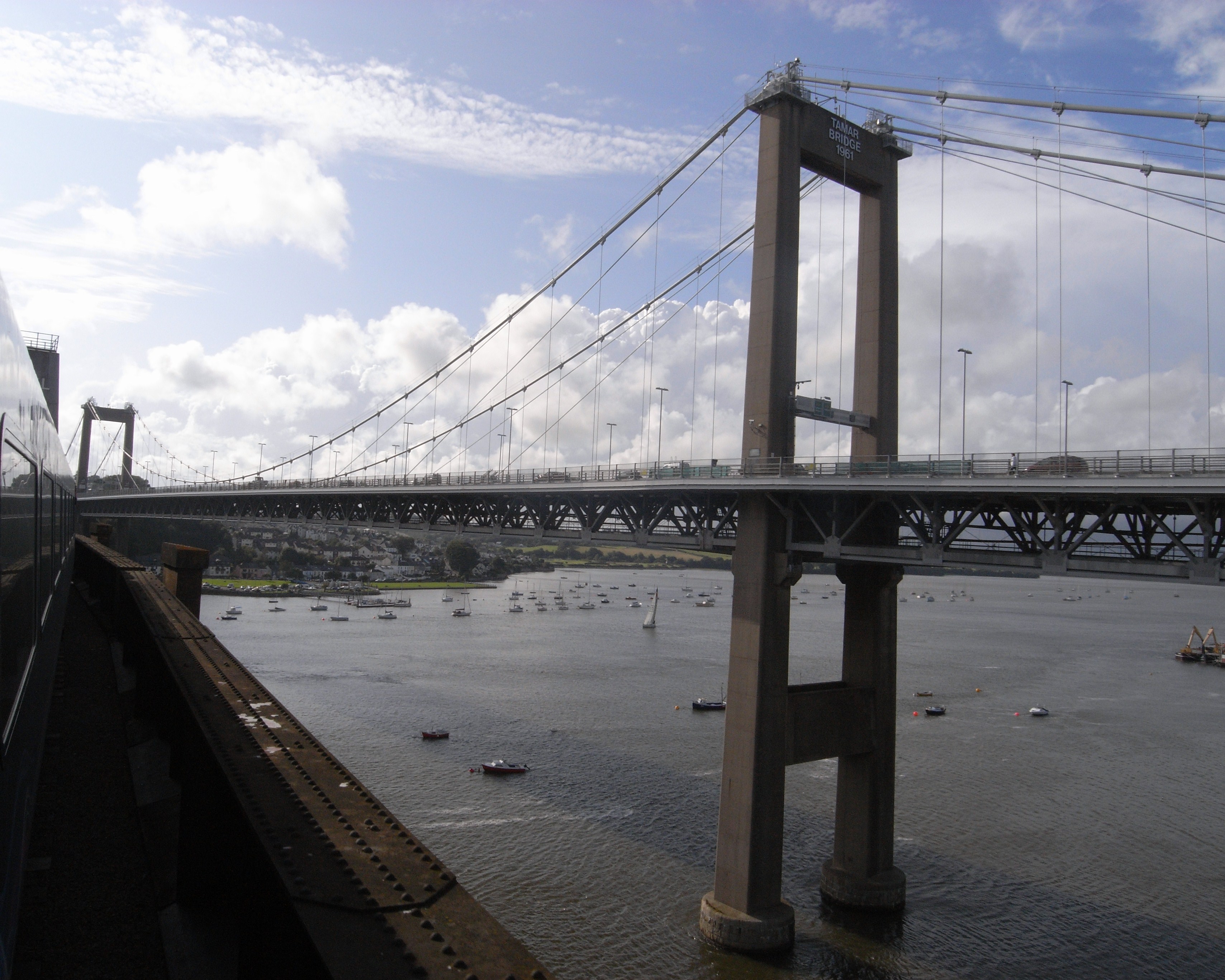
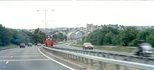
Tamar Bridge
The Tamar Bridge is a suspension bridge over the River Tamar between Saltash, Cornwall and Plymouth, Devon in southwest England. It is 335 metres (1,099...
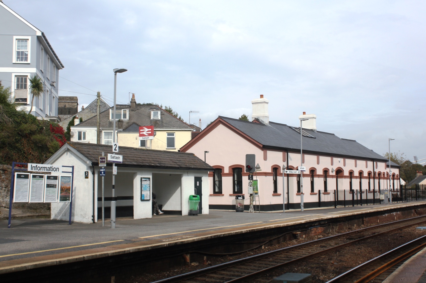
Saltash railway station
Saltash railway station (Cornish: Essa) serves the town of Saltash in Cornwall, England. It is on the south side of the town between the Royal Albert Bridge...
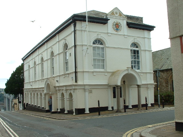
Saltash Guildhall
Saltash Guildhall is a municipal building in Fore Street, Saltash, Cornwall, England. The structure, which was the meeting place of Saltash Borough Council...

Tamar–Tavy Estuary
The Tamar–Tavy Estuary is a Site of Special Scientific Interest (SSSI) covering the tidal estuaries of the River Tamar and the River Tavy on the border...
Saltash
Saltash (Cornish: Essa) is a town and civil parish in south Cornwall, England. It had a population of 16,184 in 2011 census. Saltash faces the city of...
Related Videos

Saltash to Lynher Valley | Circular Walk | Cornwall
We headed down to Saltash for a quick easy local hike but it turned out to be an unexpected adventure.
Saltash - The Gateway to Cornwall
In this video, I explore the beautiful town of Saltash in Cornwall, located right on the Cornish border and known as The Gateway to ...


Lockdown Vlog #6 - A walk around the Tamar Bridge Area
Cold, wet and windy as hell we take a walk around the Tamar Bridge area looking under the bridge itself with views of the work ...
Nearby Amenities
Located within 500m of 50.404365,-4.202005Have you been to Riverside?
Leave your review of Riverside below (or comments, questions and feedback).