Rivers Corner
Settlement in Dorset
England
Rivers Corner
The requested URL returned error: 429 Too Many Requests
If you have any feedback on the listing, please let us know in the comments section below.
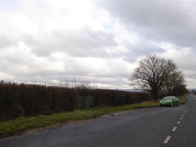
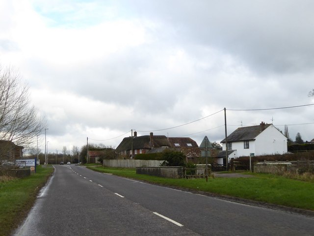
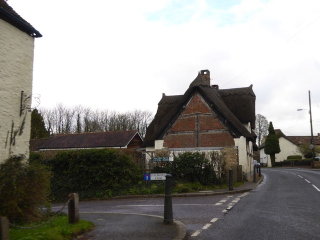
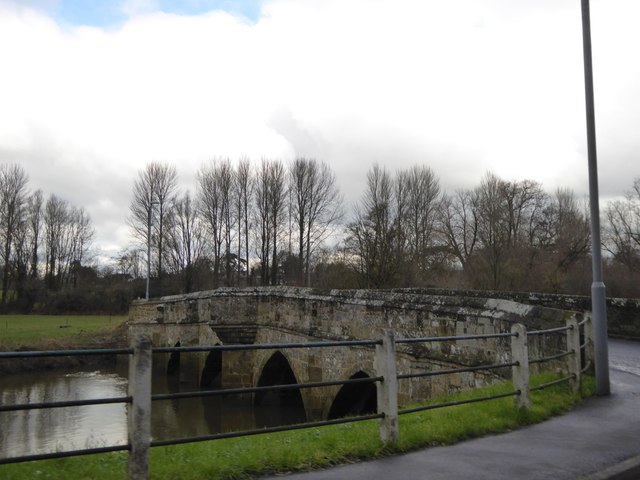
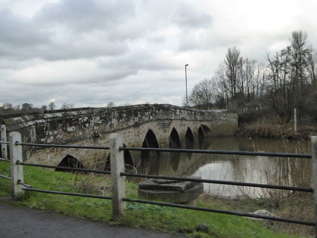
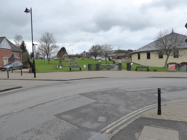
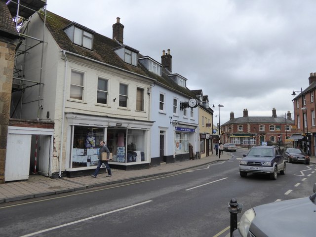
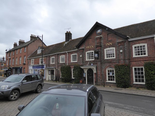
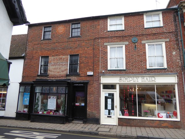
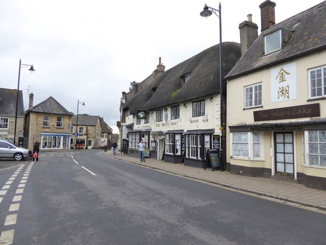
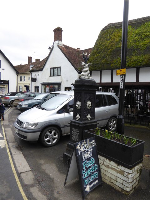
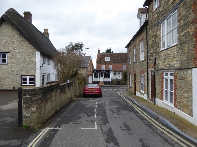
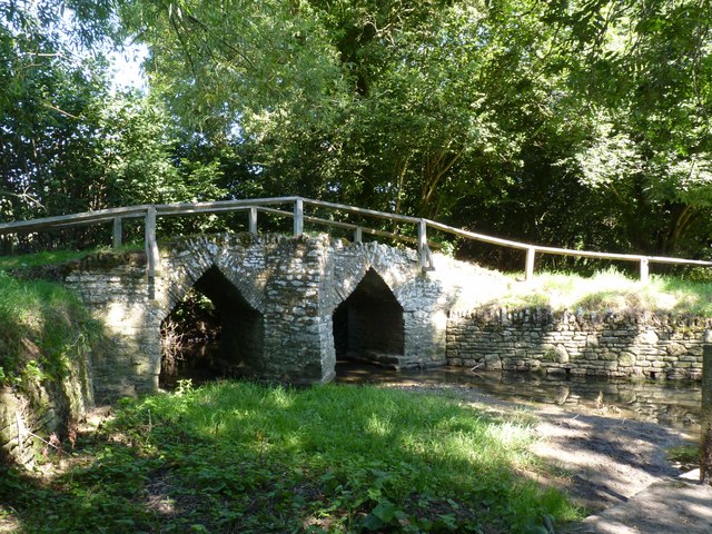
Rivers Corner Images
Images are sourced within 2km of 50.913094/-2.3191546 or Grid Reference ST7712. Thanks to Geograph Open Source API. All images are credited.

Rivers Corner is located at Grid Ref: ST7712 (Lat: 50.913094, Lng: -2.3191546)
Unitary Authority: Dorset
Police Authority: Dorset
Also known as: Rivers' Corner
What 3 Words
///grumbles.megawatt.sofas. Near Sturminster Newton, Dorset
Nearby Locations
Related Wikis

Sturminster Newton Castle
Sturminster Newton Castle is a site consisting of the remains of a medieval manor house within an Iron Age hillfort, near Sturminster Newton in Dorset...

Banbury Hill
Banbury Hillfort, or Banbury Hill Camp, is an Iron Age hillfort, about 1.25 miles (2.0 km) south of Sturminster Newton and 1 mile (1.6 km) north-west of...
Sturminster Newton Hundred
Sturminster Newton Hundred or Sturminster Newton Castle Hundred was a hundred in the county of Dorset, England, containing the following parishes: Hinton...

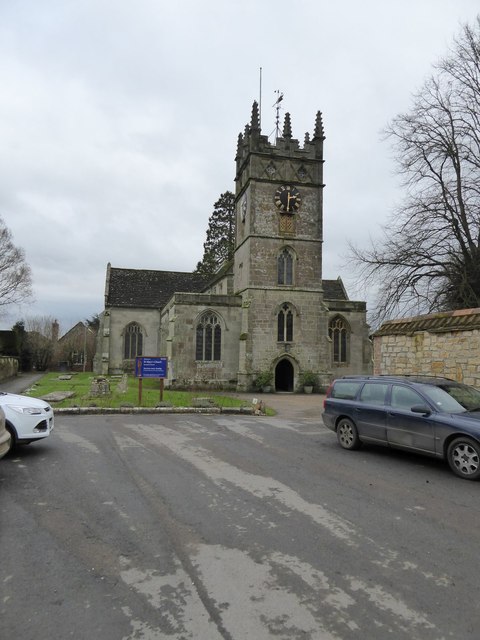
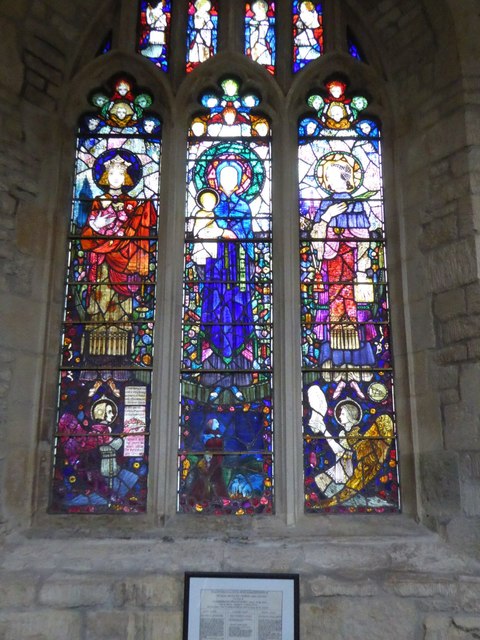
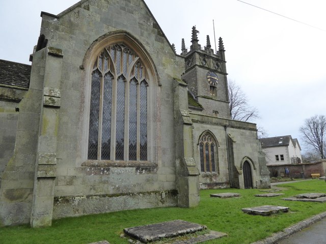
St Mary's Church, Sturminster Newton
St Mary's Church is a Church of England Parish Church in Sturminster Newton, Dorset. The present church dates from a rebuild in 1486 by the abbots of Glastonbury...
Nearby Amenities
Located within 500m of 50.913094,-2.3191546Have you been to Rivers Corner?
Leave your review of Rivers Corner below (or comments, questions and feedback).