Blackford
Settlement in Perthshire
Scotland
Blackford

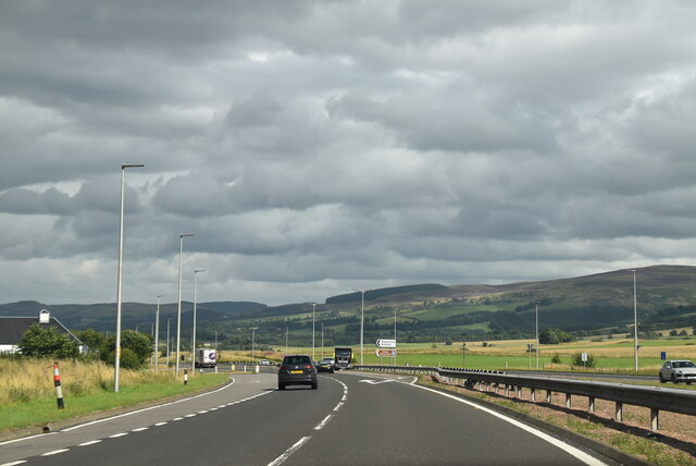
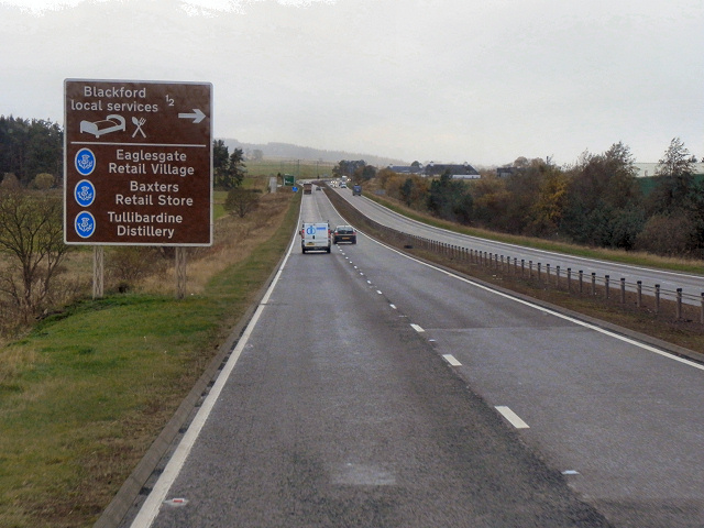
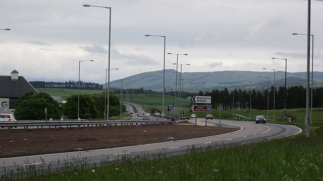
Blackford is a small village located in the county of Perthshire, Scotland. Situated approximately 5 miles south of the town of Auchterarder, it lies within the Strathearn Valley and is surrounded by picturesque countryside. The village has a population of around 1,000 people.
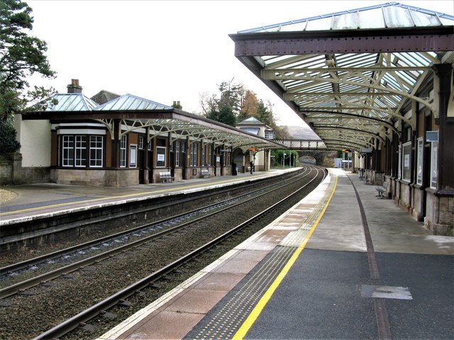
Blackford is known for its rich history, with evidence of human settlement dating back to prehistoric times. The area was historically an important agricultural center, and remnants of old farmsteads and the original village can still be seen today. The village grew during the 19th century with the establishment of a railway station, which connected Blackford to other major towns in the region.
Today, Blackford retains its rural charm and offers a peaceful and scenic environment for residents and visitors alike. The village is home to a variety of amenities, including a primary school, a village hall, a post office, and a few local shops. There is also a pub and a hotel, providing options for dining and accommodation.
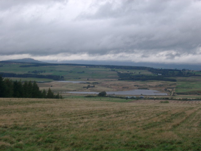
Surrounded by beautiful countryside, Blackford offers excellent opportunities for outdoor activities such as hiking, cycling, and fishing. The nearby Ochil Hills provide stunning panoramic views and are popular among nature enthusiasts. Additionally, the village is located near several golf courses, including the world-renowned Gleneagles, attracting golf enthusiasts from around the world.
Overall, Blackford is a charming village in Perthshire, offering a peaceful and scenic environment, rich history, and a range of amenities for both residents and visitors to enjoy.
If you have any feedback on the listing, please let us know in the comments section below.
Blackford Images
Images are sourced within 2km of 56.260057/-3.7805813 or Grid Reference NN8908. Thanks to Geograph Open Source API. All images are credited.


Blackford is located at Grid Ref: NN8908 (Lat: 56.260057, Lng: -3.7805813)
Unitary Authority: Perth and Kinross
Police Authority: Tayside
What 3 Words
///epidemics.measures.panic. Near Auchterarder, Perth & Kinross
Nearby Locations
Related Wikis

Blackford, Perth and Kinross
Blackford (Scottish Gaelic: Srath Gaoithe) is located in Perth and Kinross, Scotland, approximately 5 miles (8 kilometres) from the town of Auchterarder...

Blackford railway station
Blackford railway station served the village of Blackford, Perth and Kinross, Scotland from 1848 to 1956 on the Scottish Central Railway. == History... ==

Tullibardine distillery
Tullibardine distillery is a Scottish distillery since 1949, producing a single malt whisky. The whisky distillery is located in Blackford, Perth and Kinross...
Carsbreck railway station
Carsbreck railway station was a private station opened on the Scottish Central Railway near Carsebreck Loch, the Royal Caledonian Curling pond, between...

Gleneagles (Scotland)
Glen Eagles (Scottish Gaelic: Gleann na h-Eaglais/Gleann Eagas) is a glen which connects with Glen Devon to form a pass through the Ochil Hills of Perth...
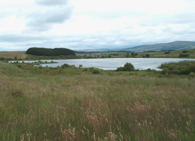
South Tayside Goose Roosts
South Tayside Goose Roosts is a composite wetland site to the west of Perth in central Scotland, covering a total of 331 hectares, which has been protected...
2018 European Golf Team Championships
The 2018 European Golf Team Championships was a golf tournament played in August 2018 at Gleneagles, Scotland. It was the inaugural event and consisted...
Gleneagles railway station
Gleneagles railway station serves the town of Auchterarder in Perth and Kinross, Scotland. == History == The station was opened by the Scottish Central...
Nearby Amenities
Located within 500m of 56.260057,-3.7805813Have you been to Blackford?
Leave your review of Blackford below (or comments, questions and feedback).