Braes of Ogilvie
Downs, Moorland in Perthshire
Scotland
Braes of Ogilvie

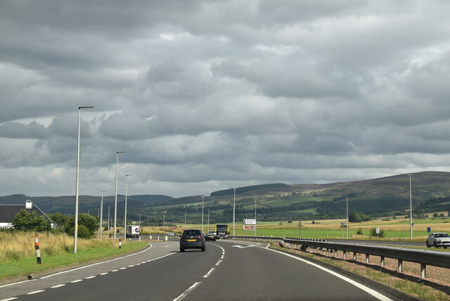
Braes of Ogilvie is a picturesque area located in Perthshire, Scotland. It is characterized by its stunning downs and moorland landscapes, offering visitors a unique experience of the Scottish countryside.
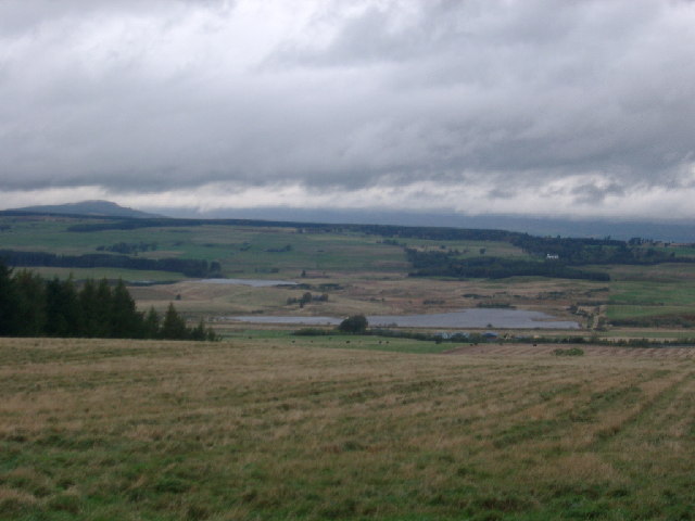
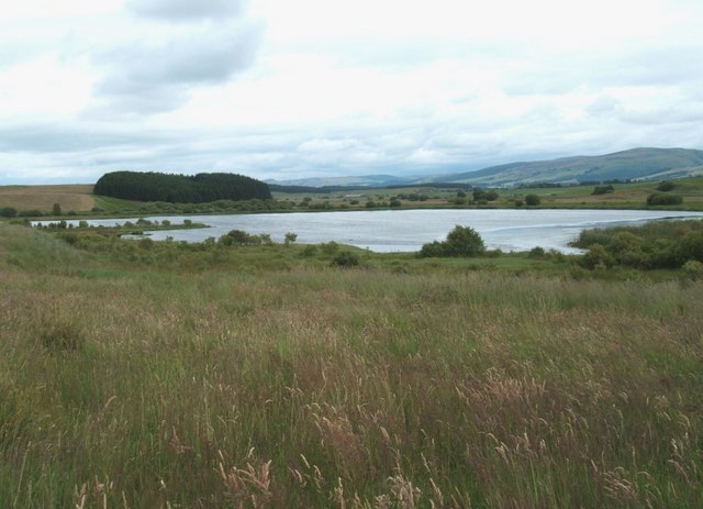
Situated in the eastern part of Perthshire, Braes of Ogilvie is known for its rolling hills and vast open spaces. The downs provide panoramic views of the surrounding area, including the nearby towns and villages. The moorland, on the other hand, offers a more rugged and untamed beauty, with heather-covered hillsides and scattered boulders.
The area is home to various species of wildlife, making it a popular destination for nature enthusiasts and wildlife photographers. Visitors may spot red deer, mountain hares, and a variety of bird species, including golden eagles and peregrine falcons.
Braes of Ogilvie is also rich in history and cultural heritage. The area was once inhabited by ancient settlements and has several archaeological sites scattered throughout. Visitors can explore standing stones and burial cairns, offering a glimpse into the area's past.
Outdoor activities are abundant in Braes of Ogilvie, with opportunities for hiking, cycling, and horseback riding. The numerous trails and pathways provide options for all levels of experience, allowing visitors to immerse themselves in the stunning natural surroundings.
Overall, Braes of Ogilvie is a hidden gem in Perthshire, offering a blend of natural beauty, wildlife, and historical significance. Whether exploring the downs or venturing into the moorland, visitors are sure to be captivated by the charm and tranquility of this remarkable area.
If you have any feedback on the listing, please let us know in the comments section below.
Braes of Ogilvie Images
Images are sourced within 2km of 56.251736/-3.7880396 or Grid Reference NN8908. Thanks to Geograph Open Source API. All images are credited.


Braes of Ogilvie is located at Grid Ref: NN8908 (Lat: 56.251736, Lng: -3.7880396)
Unitary Authority: Perth and Kinross
Police Authority: Tayside
What 3 Words
///doses.uptake.clean. Near Auchterarder, Perth & Kinross
Nearby Locations
Related Wikis

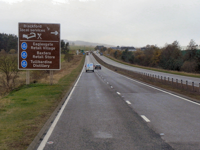
Tullibardine distillery
Tullibardine distillery is a Scottish distillery since 1949, producing a single malt whisky. The whisky distillery is located in Blackford, Perth and Kinross...

Blackford, Perth and Kinross
Blackford (Scottish Gaelic: Srath Gaoithe) is located in Perth and Kinross, Scotland, approximately 5 miles (8 kilometres) from the town of Auchterarder...

Blackford railway station
Blackford railway station served the village of Blackford, Perth and Kinross, Scotland from 1848 to 1956 on the Scottish Central Railway. == History... ==
Carsbreck railway station
Carsbreck railway station was a private station opened on the Scottish Central Railway near Carsebreck Loch, the Royal Caledonian Curling pond, between...
South Tayside Goose Roosts
South Tayside Goose Roosts is a composite wetland site to the west of Perth in central Scotland, covering a total of 331 hectares, which has been protected...

Gleneagles (Scotland)
Glen Eagles (Scottish Gaelic: Gleann na h-Eaglais/Gleann Eagas) is a glen which connects with Glen Devon to form a pass through the Ochil Hills of Perth...

Strathallan
Strathallan is the strath of the Allan Water in Scotland. The strath stretches north and north-east from Stirling through Bridge of Allan, Dunblane and...
2018 European Golf Team Championships
The 2018 European Golf Team Championships was a golf tournament played in August 2018 at Gleneagles, Scotland. It was the inaugural event and consisted...
Nearby Amenities
Located within 500m of 56.251736,-3.7880396Have you been to Braes of Ogilvie?
Leave your review of Braes of Ogilvie below (or comments, questions and feedback).