Ridgacre
Settlement in Worcestershire
England
Ridgacre
Ridgacre is a small village located in Worcestershire, England. Situated approximately 4 miles west of the town of Halesowen, Ridgacre lies within the Metropolitan Borough of Dudley. The village is nestled in a picturesque countryside setting, surrounded by rolling hills and lush green fields.
With a population of around 1,000 residents, Ridgacre maintains a close-knit community feel. The village is primarily residential, consisting of a mix of traditional cottages and modern houses. The architecture in Ridgacre reflects its rich history, with some buildings dating back several centuries.
Despite its small size, Ridgacre offers a range of amenities to its residents. The village has a primary school, providing education for local children. There is also a village hall which serves as a hub for community events and gatherings. Additionally, Ridgacre boasts several local businesses, including a post office and a convenience store, ensuring that residents have access to essential goods and services.
For those seeking outdoor activities, Ridgacre is surrounded by beautiful countryside, offering ample opportunities for walking, cycling, and exploring nature. The nearby Clent Hills, part of the National Trust, provide stunning panoramic views of the surrounding area and are a popular destination for outdoor enthusiasts.
Overall, Ridgacre offers a peaceful and idyllic rural lifestyle, while still providing convenient access to nearby towns and cities. With its charming village atmosphere and natural beauty, Ridgacre is a sought-after location for those looking to enjoy the tranquility of the Worcestershire countryside.
If you have any feedback on the listing, please let us know in the comments section below.
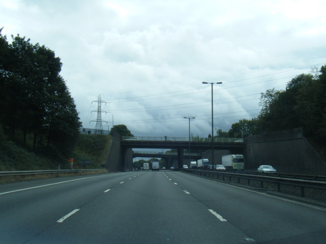
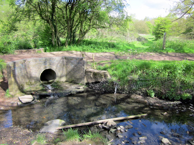
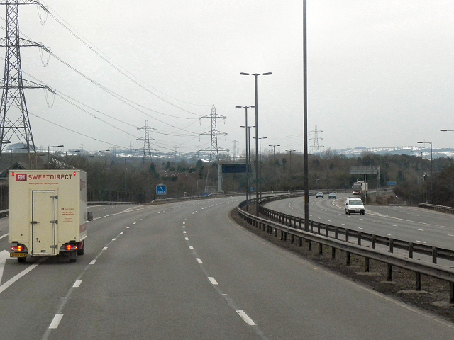
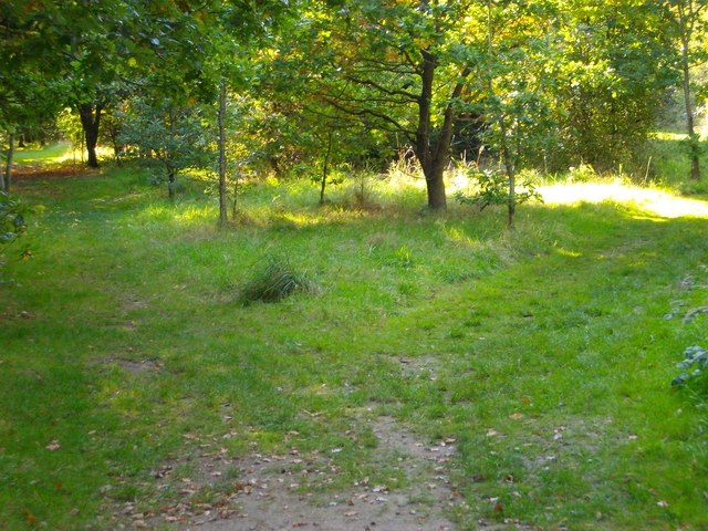
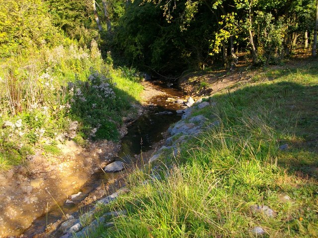
Ridgacre Images
Images are sourced within 2km of 52.458329/-1.989813 or Grid Reference SP0084. Thanks to Geograph Open Source API. All images are credited.


Ridgacre is located at Grid Ref: SP0084 (Lat: 52.458329, Lng: -1.989813)
Unitary Authority: Birmingham
Police Authority: West Midlands
What 3 Words
///turns.reader.town. Near Bartley Green, West Midlands
Nearby Locations
Related Wikis

Quinton, Birmingham
Quinton, is a residential area and ward of Birmingham, England just under 5 miles (8 km) west of the city centre. Formerly part of Halesowen parish, Quinton...

Four Dwellings Academy
Four Dwellings Academy (formerly Four Dwellings High School) is a co-educational school with academy status, located in the Quinton area of Birmingham...
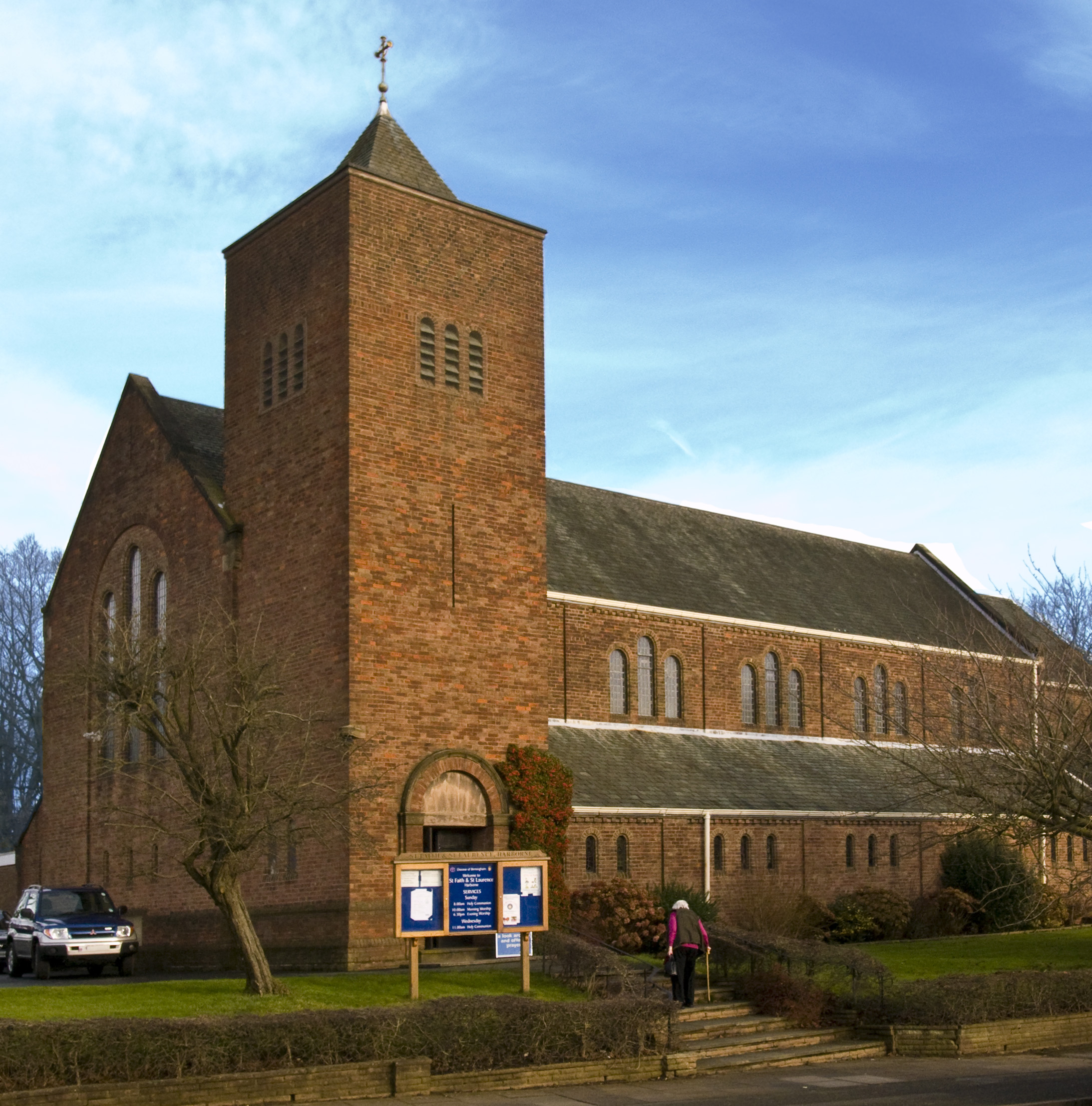
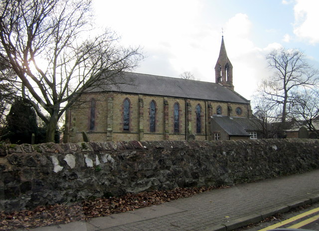
St Faith and St Laurence's Church, Harborne
St. Faith and St. Laurence's Church, Harborne is a parish church in the Church of England in Harborne, Birmingham. It is part of the Anglican Diocese of...
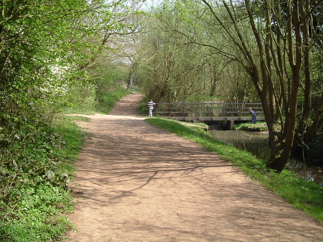
Woodgate Valley Country Park
Woodgate Valley Country Park is a country park within the Bartley Green and Quinton districts of Birmingham. It is the third largest Birmingham Country...
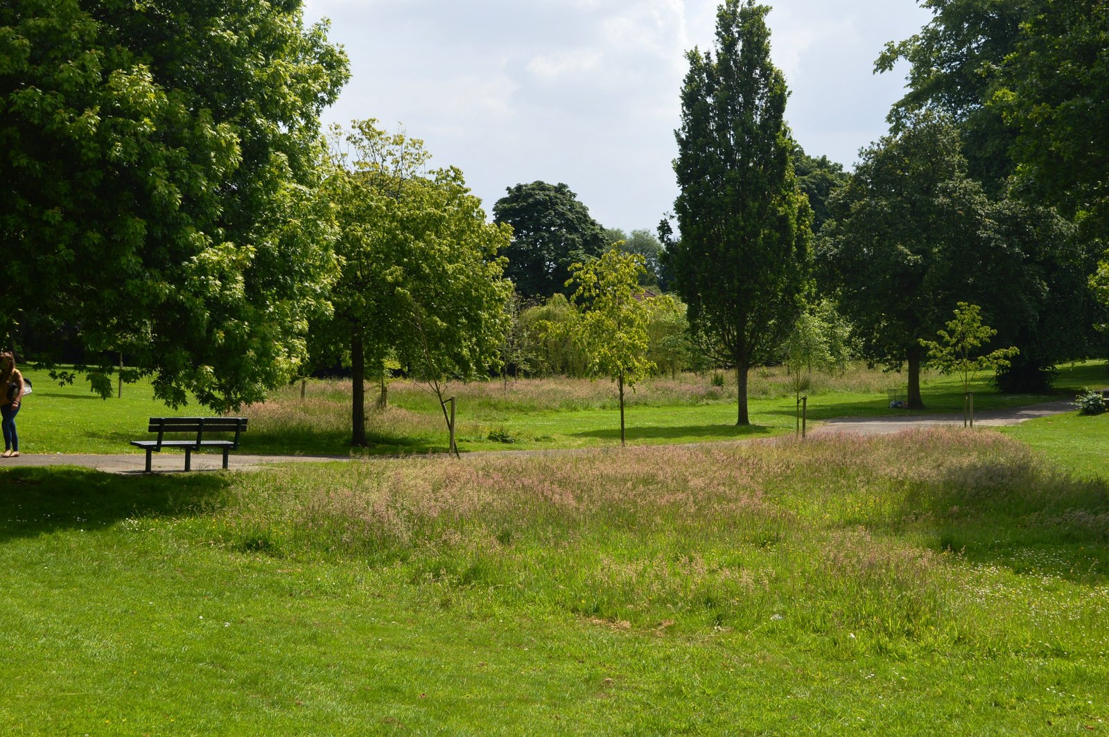
Queens Park, Birmingham
Queens Park was laid out in 1898 in celebration of Queen Victoria's Diamond Jubilee, after which Turks Lane was renamed Queens Park Road. The 10-acre plot...

Beech Lanes
Beech Lanes is a small area of Harborne in Birmingham, England, located on the border with Sandwell.
Christ Church, Quinton
Christ Church, Quinton is a parish church in the Church of England in Quinton, Birmingham. == History == The land for the church was donated by George...

Brandhall
Brandhall is a suburb of Oldbury in the south of the Metropolitan Borough of Sandwell, West Midlands, bordering Birmingham and Halesowen. The development...
Nearby Amenities
Located within 500m of 52.458329,-1.989813Have you been to Ridgacre?
Leave your review of Ridgacre below (or comments, questions and feedback).