Ribbleton
Settlement in Lancashire Preston
England
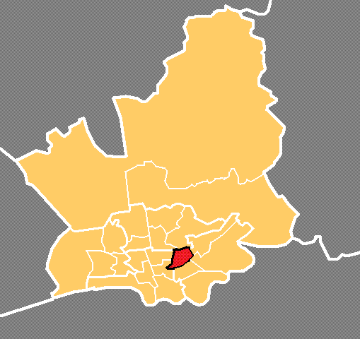
Ribbleton
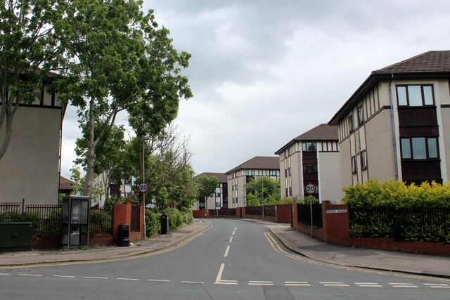
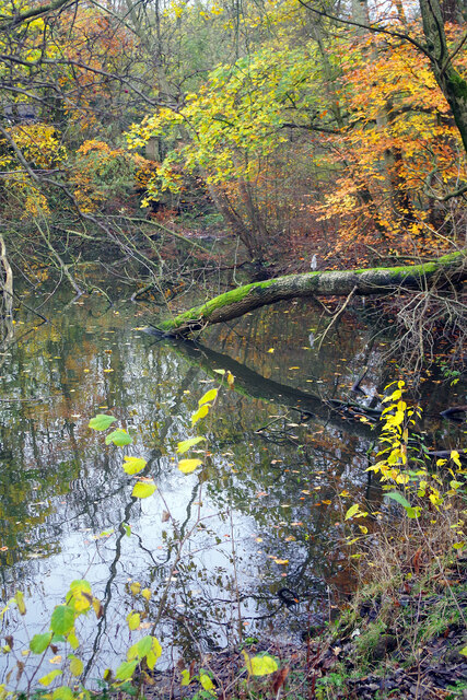
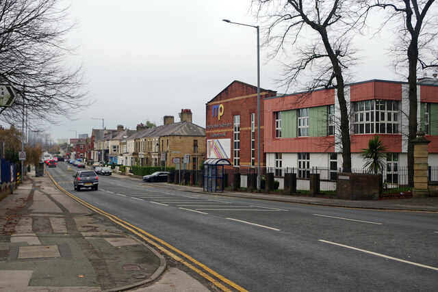
Ribbleton is a suburb located in the city of Preston, Lancashire, in the northwest region of England. It is situated approximately 2 miles from Preston city center and is bordered by the River Ribble to the south. Ribbleton is a predominantly residential area, characterized by a mix of housing types including terraced houses, semi-detached homes, and some newer developments.
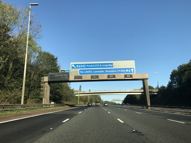
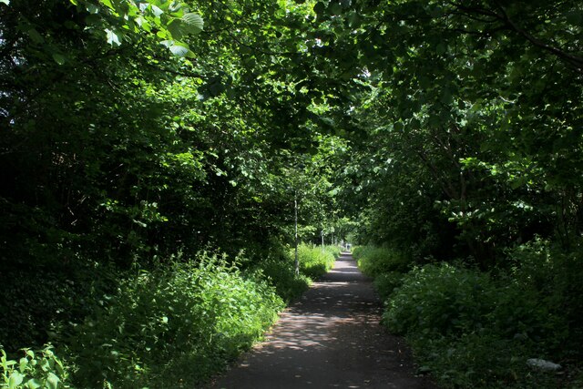
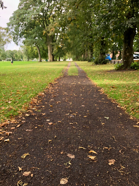
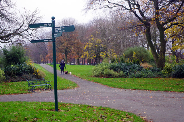
The suburb has several amenities for residents, including a shopping center with a variety of shops and services, schools, parks, and recreational facilities. Ribbleton is well-connected to the rest of Preston and the surrounding areas by road and public transport, with regular bus services running through the area.
Ribbleton has a diverse community, with a mix of different cultures and backgrounds living in the area. The suburb has a strong sense of community spirit, with local events and initiatives bringing residents together. Overall, Ribbleton is a vibrant and welcoming suburb that offers a range of amenities and a sense of community for its residents.
If you have any feedback on the listing, please let us know in the comments section below.
Ribbleton Images
Images are sourced within 2km of 53.772667/-2.667429 or Grid Reference SD5630. Thanks to Geograph Open Source API. All images are credited.


Ribbleton is located at Grid Ref: SD5630 (Lat: 53.772667, Lng: -2.667429)
Administrative County: Lancashire
District: Preston
Police Authority: Lancashire
What 3 Words
///fade.woof.quit. Near Preston, Lancashire
Nearby Locations
Related Wikis

St Mary Magdalene's Church, Ribbleton
St Mary Magdalene's Church is in Ribbleton Avenue, Ribbleton, Preston, Lancashire, England. It is an active Anglican parish church in the deanery of Preston...

Ribbleton
Ribbleton is a suburb and ward of the city of Preston, Lancashire, England. It is located to the east of the city centre, between the A59 New Hall Lane...

St Matthew's, Preston
St Matthew's is an electoral ward in Preston, Lancashire, England. The ward is adjacent to the larger Ribbleton to the east but is considered to be an...
Deepdale, Preston
Deepdale is an electoral ward in Preston, Lancashire, England. The population of the ward as taken at the 2011 census was 6,103. The ward is home to the...
Nearby Amenities
Located within 500m of 53.772667,-2.667429Have you been to Ribbleton?
Leave your review of Ribbleton below (or comments, questions and feedback).