Ribbesford
Settlement in Worcestershire Wyre Forest
England
Ribbesford
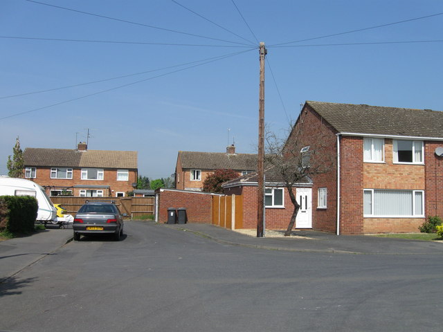
Ribbesford is a small village located in the Wyre Forest District of Worcestershire, England. Situated on the western bank of the River Severn, the village forms part of the civil parish of Bewdley. With a population of around 500 residents, Ribbesford is a quiet and picturesque rural settlement known for its natural beauty and historical significance.
The village is predominantly residential, consisting of a mix of traditional cottages and newer houses. The surrounding countryside offers stunning views, with rolling hills and farmland stretching as far as the eye can see. Ribbesford is also home to St. Leonard's Church, a Grade II listed building that dates back to the 12th century. The church features architectural elements from various periods, including Norman and Gothic styles.
One of the village's main attractions is Ribbesford House, a grand Georgian mansion that was converted into luxury apartments. The house is surrounded by beautifully landscaped gardens, which are open to the public on select occasions. Additionally, the nearby Ribbesford Woods provides ample opportunities for outdoor activities such as walking, cycling, and wildlife spotting.
Ribbesford is conveniently located just a few miles from the historic town of Bewdley, which offers a range of amenities including shops, restaurants, and pubs. The village is well-connected, with good transport links to nearby towns and cities such as Worcester and Birmingham. Overall, Ribbesford offers a peaceful and idyllic setting for those seeking a tranquil retreat in the Worcestershire countryside.
If you have any feedback on the listing, please let us know in the comments section below.
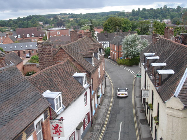
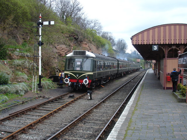
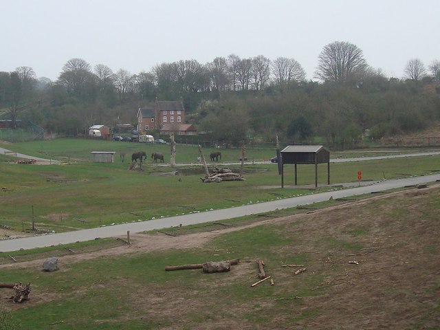
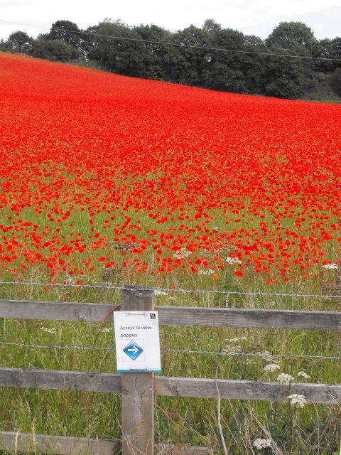
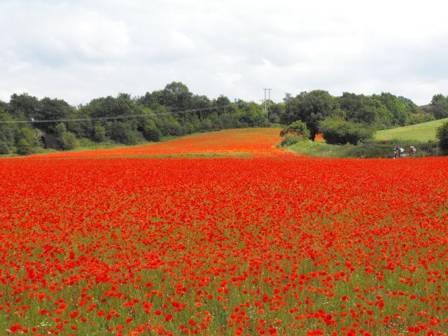
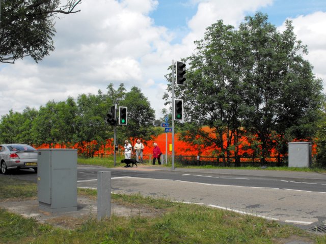
Ribbesford Images
Images are sourced within 2km of 52.363684/-2.314595 or Grid Reference SO7874. Thanks to Geograph Open Source API. All images are credited.
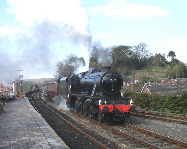

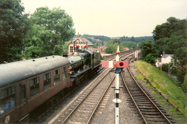
![Trains Pass at Bewdley BR Standard Pacific No 71000 "Duke of Gloucester" [left] and 'Manor' class 4-6-0 No 7812 "Erlestoke Manor" pass at Bewdley station.](https://s0.geograph.org.uk/geophotos/02/39/67/2396756_e38af8eb.jpg)


Ribbesford is located at Grid Ref: SO7874 (Lat: 52.363684, Lng: -2.314595)
Administrative County: Worcestershire
District: Wyre Forest
Police Authority: West Mercia
What 3 Words
///surprise.silently.digested. Near Bewdley, Worcestershire
Nearby Locations
Related Wikis
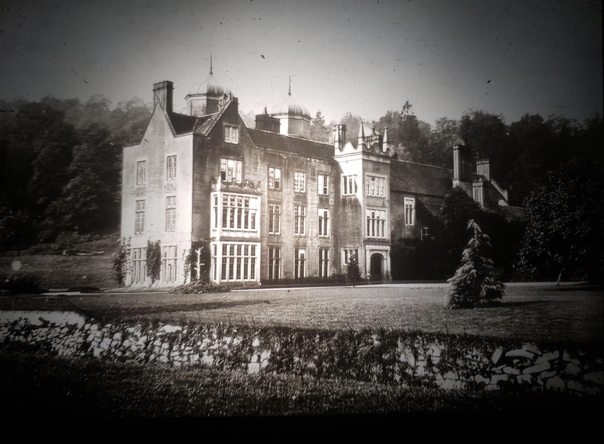
Ribbesford House
Ribbesford House is a historic English mansion in Ribbesford, near Bewdley, Worcestershire. The house and its surrounding estate have a history dating...

Bewdley Town F.C.
Bewdley Town Football Club is a football club based in Bewdley, Worcestershire, England. They are currently members of the Midland League Premier Division...

Ribbesford
Ribbesford is a village and civil parish in the Wyre Forest District of Worcestershire, England. At the 2001 census it had a population of 237.Notable...

A456 road
Known as the Hagley Road in Birmingham, the A456 is a main road in England running between Central Birmingham and Woofferton, Shropshire, south of Ludlow...
Nearby Amenities
Located within 500m of 52.363684,-2.314595Have you been to Ribbesford?
Leave your review of Ribbesford below (or comments, questions and feedback).