Rhyd-y-fro

Settlement in Glamorgan

Wales

Rhyd-y-fro

Carn Llechart Ring cairn dating perhaps to the first half of the second millennium BC.

<span class="nowrap"><a title="https://coflein.gov.uk/en/site/301289/" rel="nofollow ugc noopener" href="https://coflein.gov.uk/en/site/301289/">Link</a><img style="margin-left:2px;" alt="External link" title="External link - shift click to open in new window" src="https://s1.geograph.org.uk/img/external.png" width="10" height="10"/></span>
Carn Llechart Credit: Alan Hughes

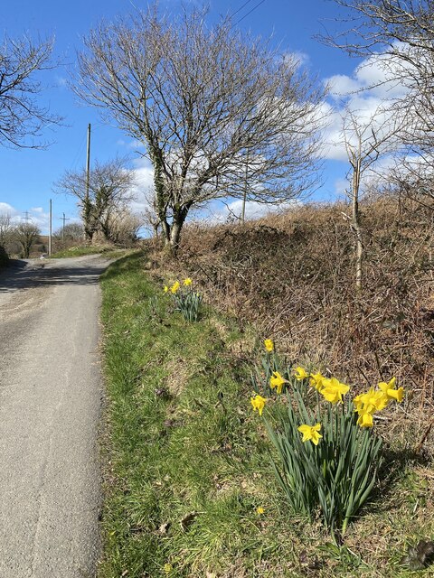
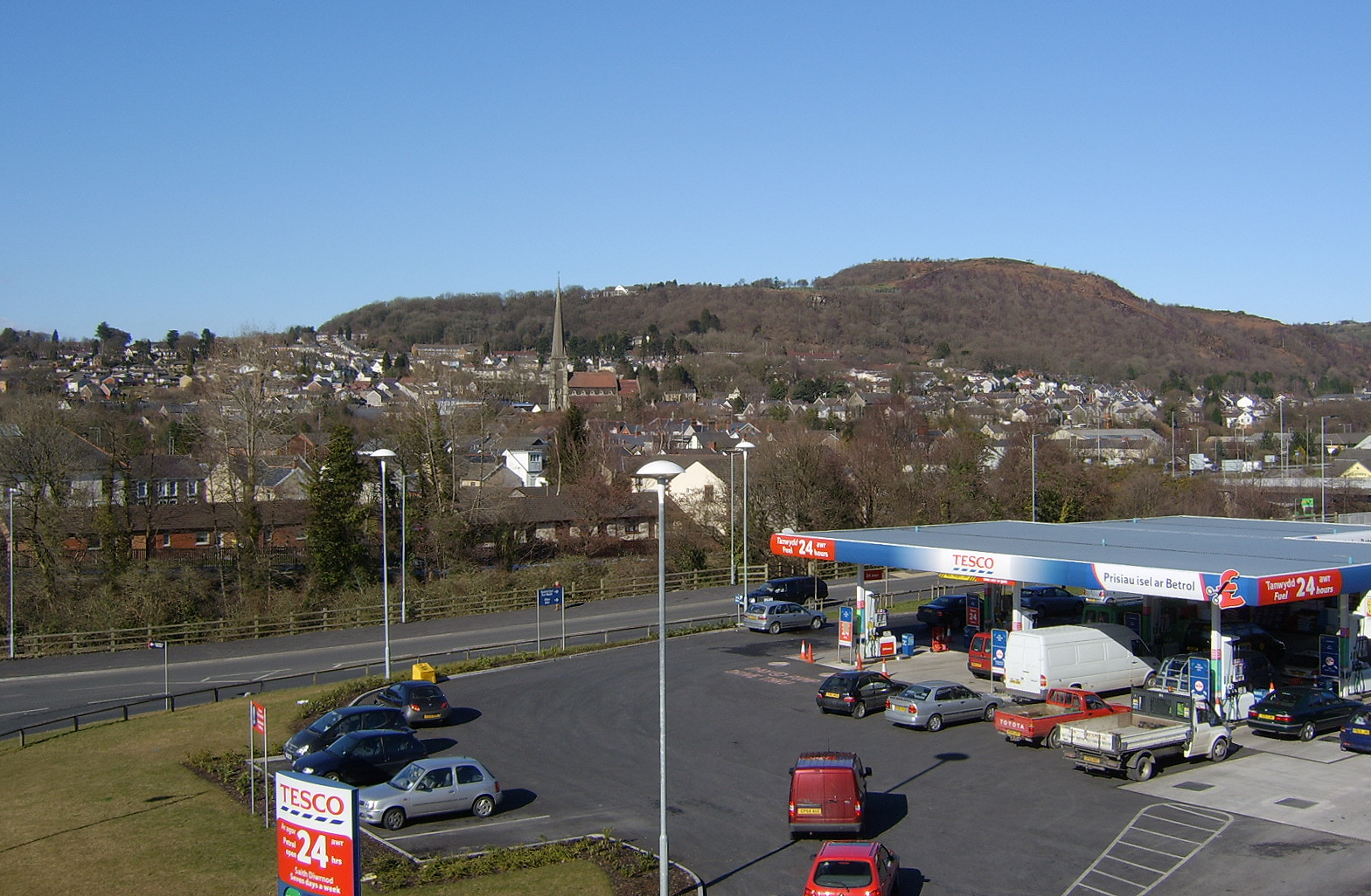
Rhyd-y-fro is a small village located in the county of Glamorgan, Wales. Situated in the picturesque Swansea Valley, Rhyd-y-fro is surrounded by lush green countryside and rolling hills, providing residents with stunning views and a peaceful setting.

The village is home to a close-knit community of approximately 500 residents, who enjoy a quiet and rural lifestyle. Rhyd-y-fro has a primary school, community center, and a few local shops and pubs, providing essential amenities for its residents.

Rhyd-y-fro is well-connected to nearby towns and cities, with easy access to the M4 motorway and regular bus services running through the village. This makes it a convenient location for commuters looking to access larger urban areas such as Swansea or Cardiff.

The village is also a popular destination for outdoor enthusiasts, with plenty of walking and cycling routes nearby, including the scenic Swansea Valley Cycle Path. Overall, Rhyd-y-fro offers a tranquil and idyllic setting for those looking to escape the hustle and bustle of city life.

If you have any feedback on the listing, please let us know in the comments section below.
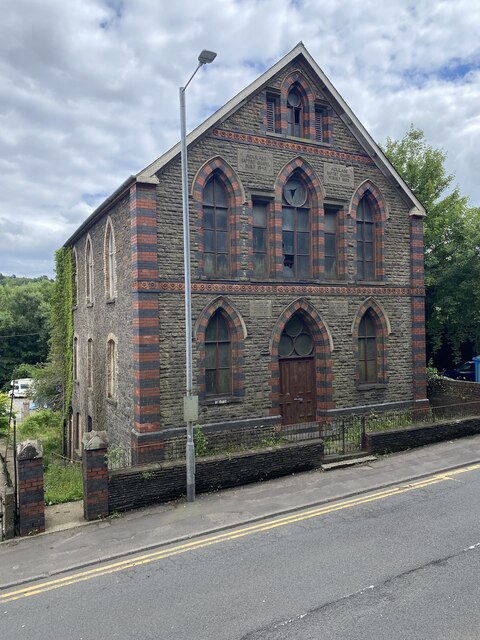
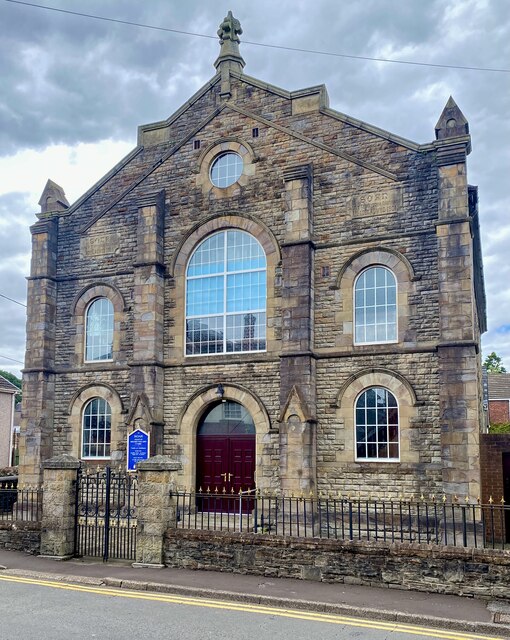
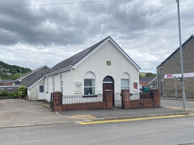
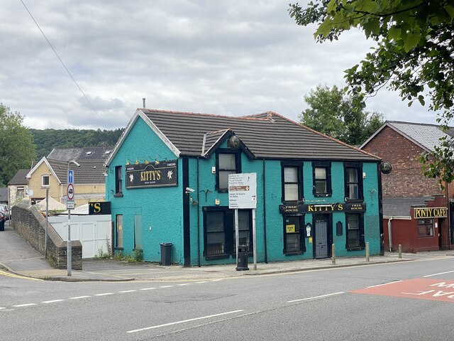
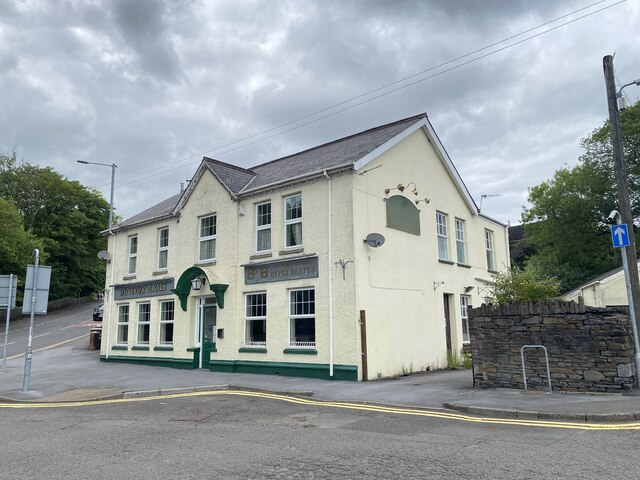
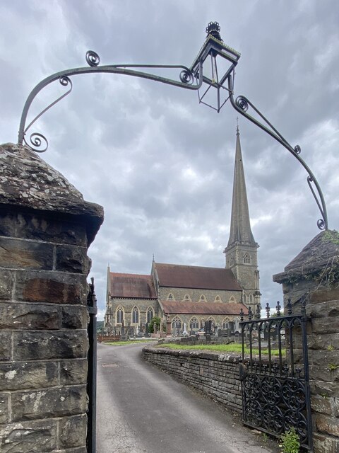
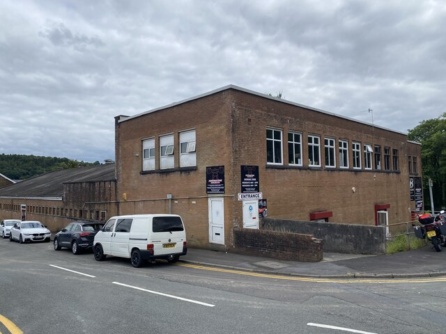
Rhyd-y-fro Images

Images are sourced within 2km of 51.734715/-3.864178 or Grid Reference SN7105. Thanks to Geograph Open Source API. All images are credited.

Carn Llechart Ring cairn dating perhaps to the first half of the second millennium BC.

<span class="nowrap"><a title="https://coflein.gov.uk/en/site/301289/" rel="nofollow ugc noopener" href="https://coflein.gov.uk/en/site/301289/">Link</a><img style="margin-left:2px;" alt="External link" title="External link - shift click to open in new window" src="https://s1.geograph.org.uk/img/external.png" width="10" height="10"/></span>
Carn Llechart
Ring cairn dating perhaps to the first half of the second millennium BC. LinkExternal link
Bronze Age Burial Chamber - Llechart Close to the ring cairn at Carn Llechart <a href="https://www.geograph.org.uk/photo/7217334">SN6906 : Carn Llechart</a>. 

See <span class="nowrap"><a title="https://coflein.gov.uk/en/site/93287?term=Llechart" rel="nofollow ugc noopener" href="https://coflein.gov.uk/en/site/93287?term=Llechart">Link</a><img style="margin-left:2px;" alt="External link" title="External link - shift click to open in new window" src="https://s1.geograph.org.uk/img/external.png" width="10" height="10"/></span>
Bronze Age Burial Chamber - Llechart
Close to the ring cairn at Carn Llechart SN6906 : Carn Llechart. See LinkExternal link
Burial chamber capstone See <span class="nowrap"><a title="https://coflein.gov.uk/en/site/93287?term=Llechart" rel="nofollow ugc noopener" href="https://coflein.gov.uk/en/site/93287?term=Llechart">Link</a><img style="margin-left:2px;" alt="External link" title="External link - shift click to open in new window" src="https://s1.geograph.org.uk/img/external.png" width="10" height="10"/></span> 

See also <a href="https://www.geograph.org.uk/photo/7217410">SN6906 : Bronze Age Burial Chamber - Llechart</a>.
Burial chamber capstone
Standing stone Note the absence of lichen on the lower half of the stone due to sheep rubbing.
Standing stone
Note the absence of lichen on the lower half of the stone due to sheep rubbing.
Large stones Two large stones can be seen in this picture and at least three more are to be found nearby.  It is believed that they are not part of a prehistoric monument but were moved into position by a local farmer in the 1980s.
Large stones
Two large stones can be seen in this picture and at least three more are to be found nearby. It is believed that they are not part of a prehistoric monument but were moved into position by a local farmer in the 1980s.
Large standing stone See also <a href="https://www.geograph.org.uk/photo/7217537">SN6905 : Large stones</a>.
Large standing stone
Grassy bank Easily mistaken for a hillfort rampart, this grassy bank is probably part of an old access road to a disused tip.
Grassy bank
Easily mistaken for a hillfort rampart, this grassy bank is probably part of an old access road to a disused tip.
Gellionnen Chapel
Gellionnen Chapel
Heol Las Approaching the turning to Gellifowy Fach farm.
Heol Las
Approaching the turning to Gellifowy Fach farm.
Adulam Baptist Chapel, Pontardawe Welsh Baptist Chapel built in 1845 and rebuilt in 1889 (1899?). Derelict since 2004 and subject to vandalism since then.

See <span class="nowrap"><a title="https://coflein.gov.uk/en/site/10119?term=Pontardawe%20&pg=2" rel="nofollow ugc noopener" href="https://coflein.gov.uk/en/site/10119?term=Pontardawe%20&pg=2">Link</a><img style="margin-left:2px;" alt="External link" title="External link - shift click to open in new window" src="https://s1.geograph.org.uk/img/external.png" width="10" height="10"/></span>
Adulam Baptist Chapel, Pontardawe
Welsh Baptist Chapel built in 1845 and rebuilt in 1889 (1899?). Derelict since 2004 and subject to vandalism since then. See LinkExternal link
Soar Welsh Presbyterian Church, Pontardawe Built in 1866 and restored in 1901. 

See <span class="nowrap"><a title="https://coflein.gov.uk/en/site/10100/" rel="nofollow ugc noopener" href="https://coflein.gov.uk/en/site/10100/">Link</a><img style="margin-left:2px;" alt="External link" title="External link - shift click to open in new window" src="https://s1.geograph.org.uk/img/external.png" width="10" height="10"/></span>
Soar Welsh Presbyterian Church, Pontardawe
Built in 1866 and restored in 1901. See LinkExternal link
Gosen Apostolic Church See <span class="nowrap"><a title="https://coflein.gov.uk/en/site/13414?term=Pontardawe%20&pg=2" rel="nofollow ugc noopener" href="https://coflein.gov.uk/en/site/13414?term=Pontardawe%20&pg=2">Link</a><img style="margin-left:2px;" alt="External link" title="External link - shift click to open in new window" src="https://s1.geograph.org.uk/img/external.png" width="10" height="10"/></span>
Gosen Apostolic Church
See LinkExternal link
Pontardawe Library The building also serves as the Pontardawe Hwb - a community facility.
Pontardawe Library
The building also serves as the Pontardawe Hwb - a community facility.
Kitty’s, Pontardawe Public house in Pontardawe.
Kitty’s, Pontardawe
Public house in Pontardawe.
Dynevor Arms Public House in Pontardawe.
Dynevor Arms
Public House in Pontardawe.
St Peter’s Church, Pontardawe
Bodybuilding Hardcore Gym Formerly the Pavilion Cinema.

See also <span class="nowrap"><a title="https://coflein.gov.uk/en/site/416827/?term=Pontardawe%20" rel="nofollow ugc noopener" href="https://coflein.gov.uk/en/site/416827/?term=Pontardawe%20">Link</a><img style="margin-left:2px;" alt="External link" title="External link - shift click to open in new window" src="https://s1.geograph.org.uk/img/external.png" width="10" height="10"/></span>
Bodybuilding Hardcore Gym
Formerly the Pavilion Cinema. See also LinkExternal link
Show me another place!

Rhyd-y-fro is located at Grid Ref: SN7105 (Lat: 51.734715, Lng: -3.864178)

Unitary Authority: Neath Port Talbot

Police Authority: South Wales

What 3 Words

///stems.trader.mile. Near Clydach, Swansea

Related Wikis

Hubert Jones

Group Captain Hubert Wilson Godfrey Jones Penderel (7 October 1890 – 14 May 1943) was a British World War I flying ace credited with seven aerial victories...

Pontardawe (electoral ward)

Pontardawe is the name of an electoral ward of Neath Port Talbot county borough, Wales. It is a division of the Pontardawe community and falls within the...

A474 road

The A474 is a suburban main route in south Wales. == Route == Settlements served by the A474 include: Briton Ferry Neath Neath Abbey Cadoxton Rhyddings...

Pontardawe

Pontardawe (Welsh pronunciation: [pɔntarˈdawɛ]) is a town and a community in the lower Swansea Valley (Welsh: Cwmtawe). it had a population of approximately...

Nearby Amenities

Located within 500m of 51.734715,-3.864178
Rhyd-y-fro
Place: village
Wikidata: Q13131059
Lat/Long: 51.7370728/-3.866783
Barrier: kissing_gate
Foot: yes
Lat/Long: 51.7338258/-3.8571556
Barrier: kissing_gate
Foot: yes
Lat/Long: 51.7360499/-3.8577318
Fixme: continue
Lat/Long: 51.7366489/-3.8580889
Post Box
Collection Times: Mo-Fr 09:00; Sa 07:00
Old Ref: SA8 652
Post Box Type: lamp
Ref: SA8 652D
Royal Cypher: EIIR
Royal Cypher Wikidata: Q33102113
Lat/Long: 51.7335127/-3.8640445
Power: pole
Lat/Long: 51.7326184/-3.8705966
Direction: 235
Generator Method: photovoltaic
Generator Output Electricity: yes
Generator Solar Modules: 15
Generator Source: solar
Generator Type: solar_photovoltaic_panel
Location: roof
Power: generator
Lat/Long: 51.734907/-3.8655587
Direction: SSE
Generator Method: photovoltaic
Generator Output Electricity: yes
Generator Solar Modules: 12
Generator Source: solar
Generator Type: solar_photovoltaic_panel
Location: roof
Power: generator
Lat/Long: 51.7328476/-3.8606188
The data included in this document is from www.openstreetmap.org. The data is made available under ODbL.

Have you been to Rhyd-y-fro?

Leave your review of Rhyd-y-fro below (or comments, questions and feedback).