Coed Cefnllan-isaf

Wood, Forest in Glamorgan

Wales

Coed Cefnllan-isaf

Heol Las Approaching the turning to Gellifowy Fach farm.
Heol Las Credit: Alan Hughes

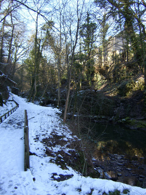
Coed Cefnllan-isaf, located in Glamorgan, Wales, is a stunning wood or forest that spans across a vast area. It is a place of great natural beauty and is well-preserved, attracting visitors from all over the region. The forest is characterized by its dense vegetation, diverse flora, and serene ambiance.

The woodland is predominantly composed of native deciduous trees, such as oak, beech, and ash, which provide a rich habitat for a variety of wildlife species. The forest floor is carpeted with a plethora of wildflowers, ferns, and mosses, creating a vibrant and enchanting atmosphere. The trees tower majestically above, forming a lush canopy that allows rays of sunlight to filter through, illuminating the woodland floor.

Coed Cefnllan-isaf is not only a haven for nature enthusiasts but also offers opportunities for recreational activities. There are well-maintained trails that wind through the forest, allowing visitors to explore and immerse themselves in the tranquil surroundings. The forest is also home to a diverse array of bird species, making it an ideal spot for birdwatching.

The forest is managed and protected by local authorities, ensuring its preservation for future generations. Additionally, there are educational programs and guided tours available to educate visitors about the importance of conservation and the various species that call the forest home.

Coed Cefnllan-isaf is a truly remarkable woodland, providing a peaceful retreat for those seeking solace in nature. Its breathtaking beauty, diverse ecosystem, and recreational opportunities make it a must-visit destination for nature lovers and outdoor enthusiasts alike.

If you have any feedback on the listing, please let us know in the comments section below.

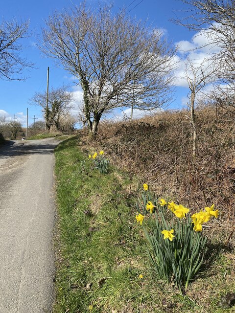
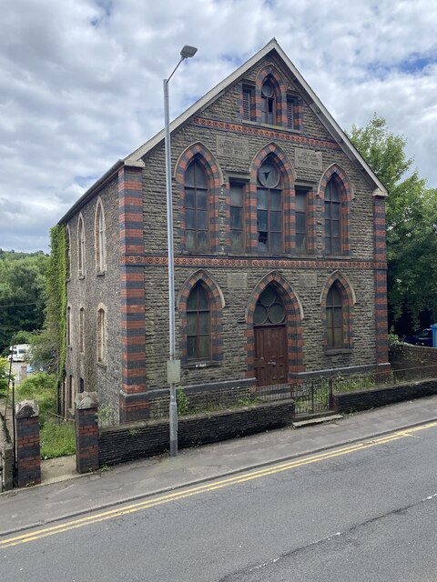
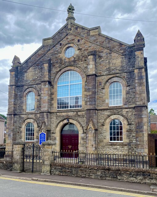
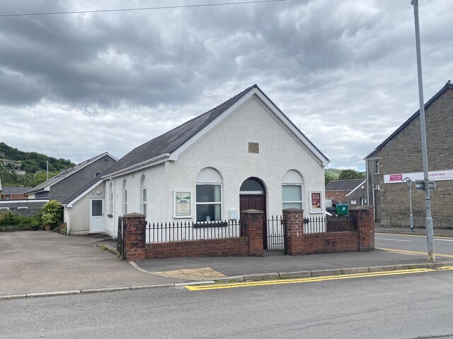
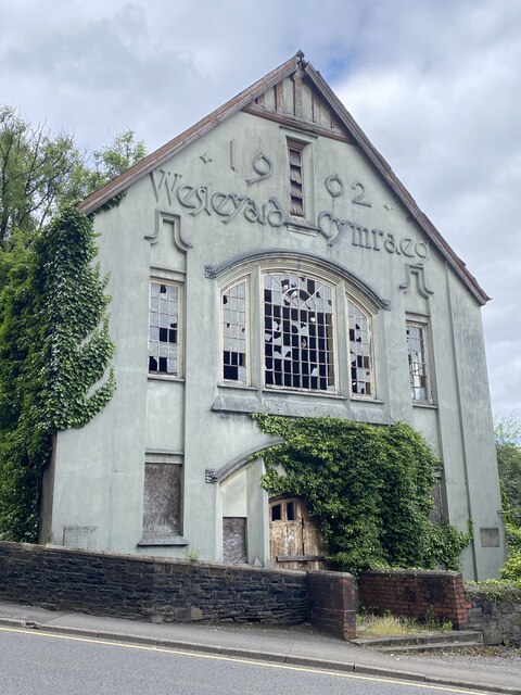
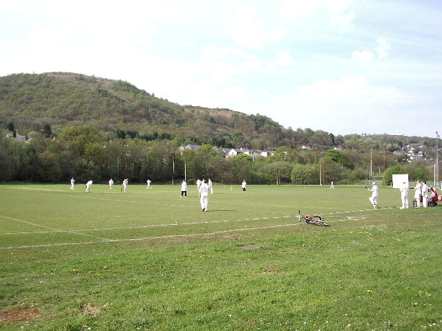
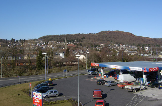
Coed Cefnllan-isaf Images

Images are sourced within 2km of 51.731707/-3.8573533 or Grid Reference SN7105. Thanks to Geograph Open Source API. All images are credited.

Heol Las Approaching the turning to Gellifowy Fach farm.
Heol Las
Approaching the turning to Gellifowy Fach farm.
Adulam Baptist Chapel, Pontardawe Welsh Baptist Chapel built in 1845 and rebuilt in 1889 (1899?). Derelict since 2004 and subject to vandalism since then.

See <span class="nowrap"><a title="https://coflein.gov.uk/en/site/10119?term=Pontardawe%20&pg=2" rel="nofollow ugc noopener" href="https://coflein.gov.uk/en/site/10119?term=Pontardawe%20&pg=2">Link</a><img style="margin-left:2px;" alt="External link" title="External link - shift click to open in new window" src="https://s1.geograph.org.uk/img/external.png" width="10" height="10"/></span>
Adulam Baptist Chapel, Pontardawe
Welsh Baptist Chapel built in 1845 and rebuilt in 1889 (1899?). Derelict since 2004 and subject to vandalism since then. See LinkExternal link
Soar Welsh Presbyterian Church, Pontardawe Built in 1866 and restored in 1901. 

See <span class="nowrap"><a title="https://coflein.gov.uk/en/site/10100/" rel="nofollow ugc noopener" href="https://coflein.gov.uk/en/site/10100/">Link</a><img style="margin-left:2px;" alt="External link" title="External link - shift click to open in new window" src="https://s1.geograph.org.uk/img/external.png" width="10" height="10"/></span>
Soar Welsh Presbyterian Church, Pontardawe
Built in 1866 and restored in 1901. See LinkExternal link
Gosen Apostolic Church See <span class="nowrap"><a title="https://coflein.gov.uk/en/site/13414?term=Pontardawe%20&pg=2" rel="nofollow ugc noopener" href="https://coflein.gov.uk/en/site/13414?term=Pontardawe%20&pg=2">Link</a><img style="margin-left:2px;" alt="External link" title="External link - shift click to open in new window" src="https://s1.geograph.org.uk/img/external.png" width="10" height="10"/></span>
Gosen Apostolic Church
See LinkExternal link
Pontardawe Library The building also serves as the Pontardawe Hwb - a community facility.
Pontardawe Library
The building also serves as the Pontardawe Hwb - a community facility.
Kitty’s, Pontardawe Public house in Pontardawe.
Kitty’s, Pontardawe
Public house in Pontardawe.
Dynevor Arms Public House in Pontardawe.
Dynevor Arms
Public House in Pontardawe.
St Peter’s Church, Pontardawe
Bodybuilding Hardcore Gym Formerly the Pavilion Cinema.

See also <span class="nowrap"><a title="https://coflein.gov.uk/en/site/416827/?term=Pontardawe%20" rel="nofollow ugc noopener" href="https://coflein.gov.uk/en/site/416827/?term=Pontardawe%20">Link</a><img style="margin-left:2px;" alt="External link" title="External link - shift click to open in new window" src="https://s1.geograph.org.uk/img/external.png" width="10" height="10"/></span>
Bodybuilding Hardcore Gym
Formerly the Pavilion Cinema. See also LinkExternal link
Ivy Bush Hotel
Ivy Bush Hotel
School Lane, Pontardawe
Police Station, Pontardawe
Pontardawe Arts Centre Formerly Pontardawe Public Hall and Institute, built in 1908 and opened by Adelina Patti.

See <span class="nowrap"><a title="https://coflein.gov.uk/en/site/414794/?term=Pontardawe%20" rel="nofollow ugc noopener" href="https://coflein.gov.uk/en/site/414794/?term=Pontardawe%20">Link</a><img style="margin-left:2px;" alt="External link" title="External link - shift click to open in new window" src="https://s1.geograph.org.uk/img/external.png" width="10" height="10"/></span>
Pontardawe Arts Centre
Formerly Pontardawe Public Hall and Institute, built in 1908 and opened by Adelina Patti. See LinkExternal link
Wesleyaid Cymraeg Horeb Welsh Wesleyan Chapel.

The building was noted for its "spray of wild typography on the upper façade", marking out the words "1902 - Wesleyaid Cymraeg".
Wesleyaid Cymraeg
Horeb Welsh Wesleyan Chapel. The building was noted for its "spray of wild typography on the upper façade", marking out the words "1902 - Wesleyaid Cymraeg".
Cricket on Pontardawe Recreation Ground Pontardawe Recreation Ground is on the flood plain of the River Tawe, which is behind the trees on the right of the photograph.  The Swansea Canal runs below the houses.
Cricket on Pontardawe Recreation Ground
Pontardawe Recreation Ground is on the flood plain of the River Tawe, which is behind the trees on the right of the photograph. The Swansea Canal runs below the houses.
Pontardawe A view of Pontardawe looking north from the footbridge over the A4067. The landmark spire of St Peter's is just left of centre.
Pontardawe
A view of Pontardawe looking north from the footbridge over the A4067. The landmark spire of St Peter's is just left of centre.
Cwmdu Glen, Pontardawe The footpath through Cwmdu (the Upper Clydach gorge) at Pontardawe.
Cwmdu Glen, Pontardawe
The footpath through Cwmdu (the Upper Clydach gorge) at Pontardawe.
Alltwen Hill Looking south and uphill along the old main road from Pontardawe to Neath.
Alltwen Hill
Looking south and uphill along the old main road from Pontardawe to Neath.
Show me another place!

Coed Cefnllan-isaf is located at Grid Ref: SN7105 (Lat: 51.731707, Lng: -3.8573533)

Unitary Authority: Neath Port Talbot

Police Authority: South Wales

What 3 Words

///attention.crumble.knocking. Near Clydach, Swansea

Related Wikis

Hubert Jones

Group Captain Hubert Wilson Godfrey Jones Penderel (7 October 1890 – 14 May 1943) was a British World War I flying ace credited with seven aerial victories...

Pontardawe (electoral ward)

Pontardawe is the name of an electoral ward of Neath Port Talbot county borough, Wales. It is a division of the Pontardawe community and falls within the...

A474 road

The A474 is a suburban main route in south Wales. == Route == Settlements served by the A474 include: Briton Ferry Neath Neath Abbey Cadoxton Rhyddings...

Pontardawe

Pontardawe (Welsh pronunciation: [pɔntarˈdawɛ]) is a town and a community in the lower Swansea Valley (Welsh: Cwmtawe). it had a population of approximately...

Nearby Amenities

Located within 500m of 51.731707,-3.8573533
Barrier: kissing_gate
Foot: yes
Lat/Long: 51.7338258/-3.8571556
Fixme: continue
Lat/Long: 51.7350492/-3.8526101
Barrier: kissing_gate
Foot: yes
Lat/Long: 51.7352727/-3.8562808
Barrier: kissing_gate
Foot: yes
Lat/Long: 51.7360499/-3.8577318
Post Box
Collection Times: Mo-Fr 16:45; Sa 11:15
Post Box Type: lamp
Ref: SA8 651
Royal Cypher: EIIR
Royal Cypher Wikidata: Q33102113
Lat/Long: 51.7278863/-3.8605449
Direction: SSE
Generator Method: photovoltaic
Generator Output Electricity: yes
Generator Solar Modules: 9
Generator Source: solar
Generator Type: solar_photovoltaic_panel
Location: roof
Power: generator
Lat/Long: 51.7276827/-3.8579232
Direction: 85
Generator Method: photovoltaic
Generator Output Electricity: yes
Generator Solar Modules: 5
Generator Source: solar
Generator Type: solar_photovoltaic_panel
Location: roof
Power: generator
Lat/Long: 51.7290565/-3.8607237
Direction: 175
Generator Method: photovoltaic
Generator Output Electricity: yes
Generator Solar Modules: 9
Generator Source: solar
Generator Type: solar_photovoltaic_panel
Location: roof
Power: generator
Lat/Long: 51.7290334/-3.860883
Direction: SSE
Generator Method: photovoltaic
Generator Output Electricity: yes
Generator Solar Modules: 12
Generator Source: solar
Generator Type: solar_photovoltaic_panel
Location: roof
Power: generator
Lat/Long: 51.7328476/-3.8606188
The data included in this document is from www.openstreetmap.org. The data is made available under ODbL.

Have you been to Coed Cefnllan-isaf?

Leave your review of Coed Cefnllan-isaf below (or comments, questions and feedback).