Blackcastle
Settlement in Midlothian
Scotland
Blackcastle
Blackcastle is a small village located in the county of Midlothian, Scotland. Situated approximately 11 miles south of the capital city, Edinburgh, it is nestled in the picturesque countryside and is part of the wider community council area of Newtongrange.
The village takes its name from the historic Blackcastle farm that once stood in the area. Today, it is primarily a residential area, offering a peaceful and tranquil environment for its residents. The village is characterized by its charming traditional stone-built houses, which add to its overall aesthetic appeal.
Despite its small size, Blackcastle has a close-knit community and a strong sense of community spirit. It benefits from a range of local amenities, including a primary school, a convenience store, and a post office, ensuring that residents have easy access to essential services. The village is well-connected to the surrounding areas by a network of roads, providing convenient transportation links.
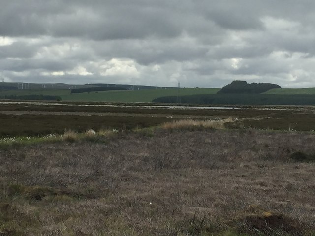
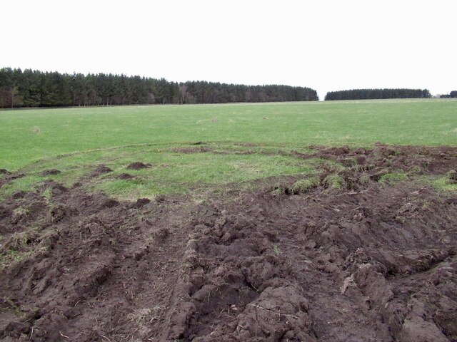
Blackcastle is surrounded by beautiful countryside, making it an ideal location for those who enjoy outdoor activities. The nearby Pentland Hills Regional Park offers stunning scenery and a variety of walking and cycling trails for nature enthusiasts to explore. Additionally, the village is just a short drive away from the popular Vogrie Country Park, which features expansive woodlands, a Victorian mansion, and various recreational facilities.
In conclusion, Blackcastle is a charming village in Midlothian, Scotland, offering a peaceful and community-oriented lifestyle. With its beautiful surroundings and convenient amenities, it provides a delightful place to call home.
If you have any feedback on the listing, please let us know in the comments section below.
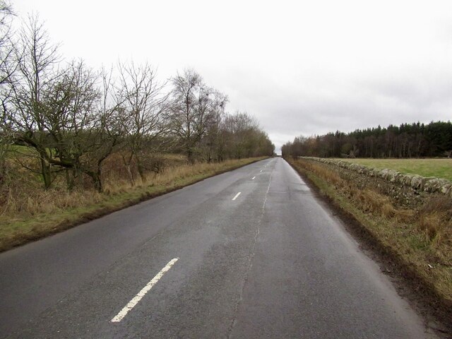
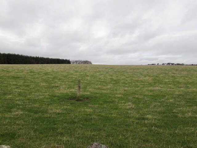
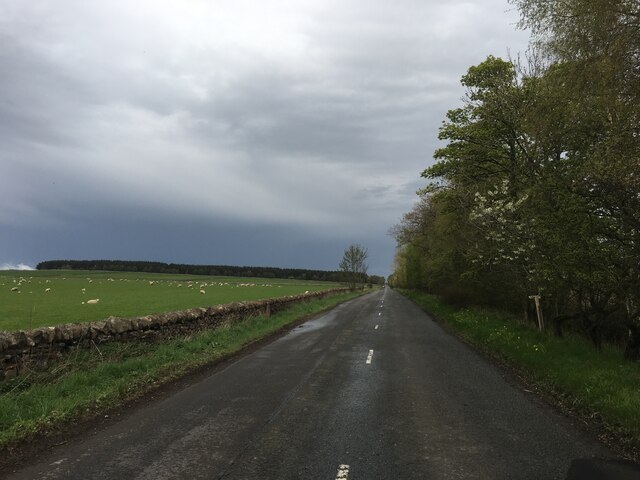
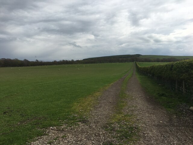
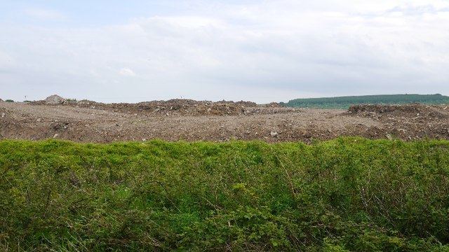
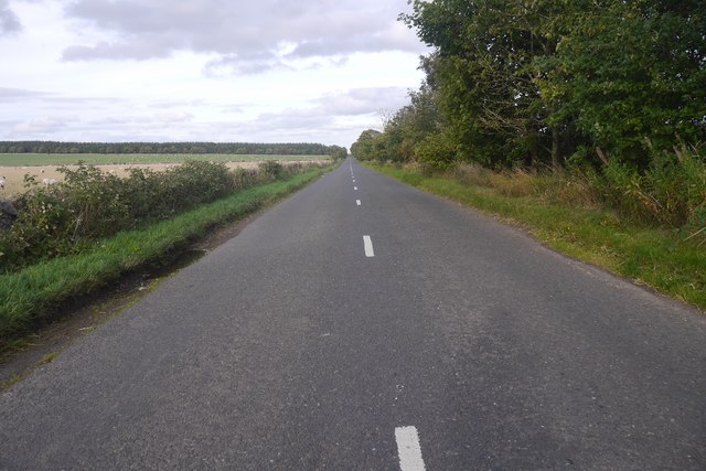
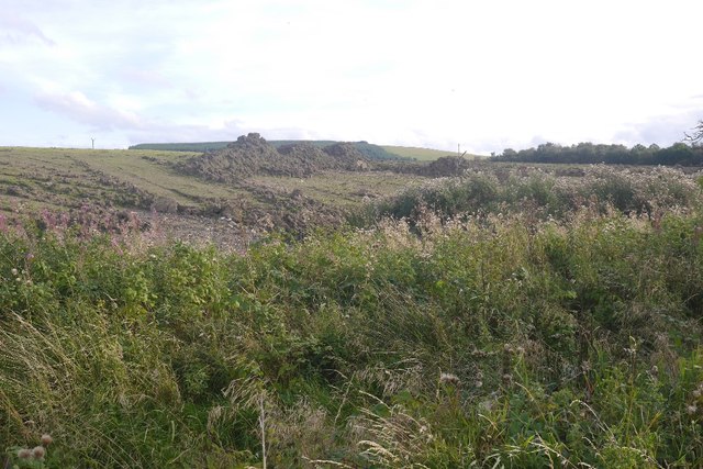
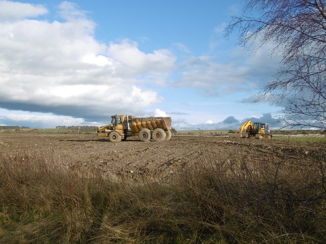
Blackcastle Images
Images are sourced within 2km of 55.82063/-2.9432024 or Grid Reference NT4159. Thanks to Geograph Open Source API. All images are credited.


Blackcastle is located at Grid Ref: NT4159 (Lat: 55.82063, Lng: -2.9432024)
Unitary Authority: Midlothian
Police Authority: The Lothians and Scottish Borders
What 3 Words
///dustbin.sponge.detail. Near Gorebridge, Midlothian
Nearby Locations
Related Wikis

Cakemuir Castle
Cakemuir Castle is an historic house situated 4 miles (6.4 km) southeast of Pathhead, in the Lammermuir Hills, Midlothian, Scotland. The name may be connected...

Tynehead railway station
Tynehead railway station served the village of Pathhead, Midlothian, Scotland from 1848 to 1969 on the Waverley Line. == History == The station opened...
Fala Flow
Fala Flow is an area of upland blanket bog on the edge of the Lammermuir Hills, in Midlothian, Scotland. Located north of the village of Fala, around 15...

Falahill
Falahill is a village in the Scottish Borders, in the Moorfoot Hills, at NT387563, in the Parish of Heriot, and close to the border with Midlothian. Nearby...
Nearby Amenities
Located within 500m of 55.82063,-2.9432024Have you been to Blackcastle?
Leave your review of Blackcastle below (or comments, questions and feedback).