Cakemuir Castle
Heritage Site in Midlothian
Scotland
Cakemuir Castle
Cakemuir Castle, located in Midlothian, Scotland, is a historical heritage site that holds significant architectural and historical importance. The castle is situated on a gentle slope overlooking the village of Cakemuir, which is approximately 15 miles southeast of Edinburgh.
Dating back to the late 15th century, Cakemuir Castle was originally built as a stronghold for the influential and noble Cakemuir family. The castle was constructed using local sandstone and featured a four-story tower house design, which was typical of the Scottish Renaissance architecture.
Throughout its history, the castle has witnessed various alterations and additions, reflecting changes in architectural styles and the needs of its inhabitants. Notably, in the 17th century, a grand entrance wing was added, giving the castle a more palatial appearance.
Unfortunately, Cakemuir Castle fell into disrepair during the 18th century and was abandoned, leaving it in a state of ruins. Despite its dilapidated condition, the castle's historical significance has been recognized, and efforts have been made to preserve and protect the site.
Today, Cakemuir Castle stands as a picturesque ruin, with remnants of its tower house and entrance wing still visible. The site is open to the public, allowing visitors to explore the castle's architecture and imagine its former grandeur. Surrounded by scenic landscapes, the castle offers stunning views of the surrounding countryside, making it a popular destination for history enthusiasts and photographers alike.
If you have any feedback on the listing, please let us know in the comments section below.
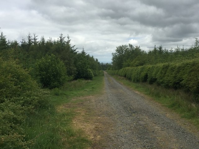
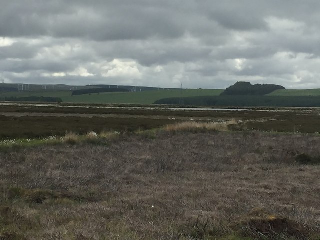
Cakemuir Castle Images
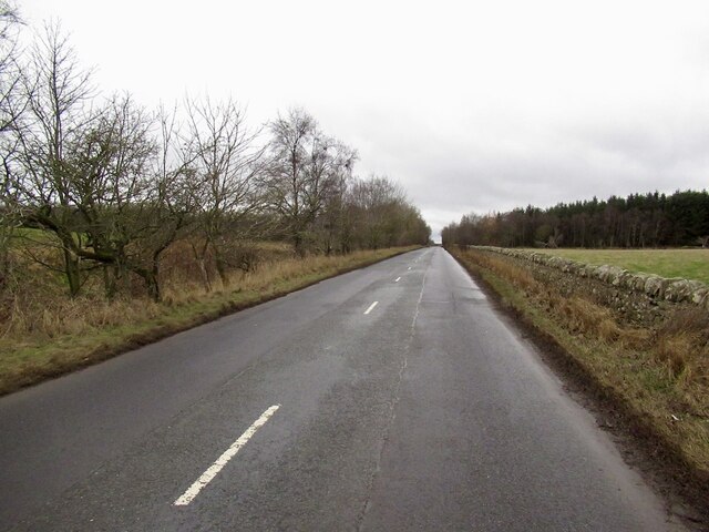
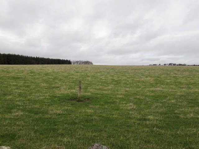
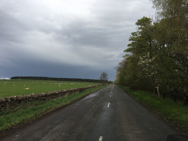
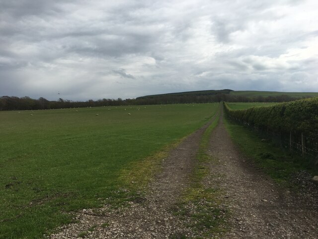
Images are sourced within 2km of 55.825/-2.933 or Grid Reference NT4159. Thanks to Geograph Open Source API. All images are credited.


Cakemuir Castle is located at Grid Ref: NT4159 (Lat: 55.825, Lng: -2.933)
Unitary Authority: Midlothian
Police Authority: The Lothians and Scottish Borders
What 3 Words
///coaching.condensed.pirates. Near Gorebridge, Midlothian
Nearby Locations
Related Wikis

Cakemuir Castle
Cakemuir Castle is an historic house situated 4 miles (6.4 km) southeast of Pathhead, in the Lammermuir Hills, Midlothian, Scotland. The name may be connected...
Fala Flow
Fala Flow is an area of upland blanket bog on the edge of the Lammermuir Hills, in Midlothian, Scotland. Located north of the village of Fala, around 15...

Tynehead railway station
Tynehead railway station served the village of Pathhead, Midlothian, Scotland from 1848 to 1969 on the Waverley Line. == History == The station opened...

Fala, Midlothian
Fala is a hamlet in the south-eastern corner of Midlothian, Scotland, and about 15 miles from Edinburgh. == Location == The parish of the same name is...
Have you been to Cakemuir Castle?
Leave your review of Cakemuir Castle below (or comments, questions and feedback).