Addington
Settlement in Surrey
England
Addington
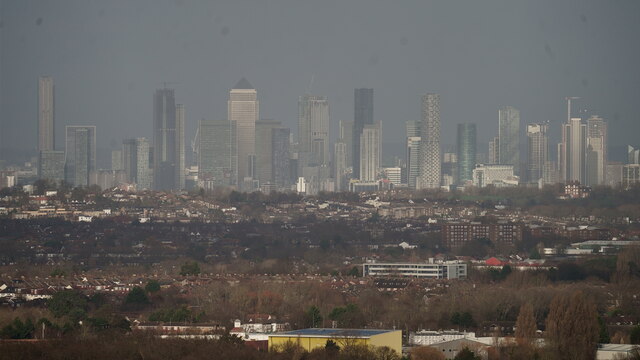
Addington is a small village located in the county of Surrey, England. Situated approximately 12 miles south-east of the bustling city of London, Addington offers residents a peaceful and rural setting while still being within close proximity to major urban centers.
The village is characterized by its picturesque landscapes, with rolling hills, expansive fields, and charming countryside views. It is nestled in the borough of Croydon and is bordered by other well-known areas such as Selsdon, Shirley, and West Wickham.
Addington is known for its rich history, dating back to the Domesday Book of 1086. The village is home to several historic landmarks, including the Grade I listed Addington Palace. This stunning Georgian mansion was once the residence of six Archbishops of Canterbury and is now a popular venue for weddings, events, and conferences.
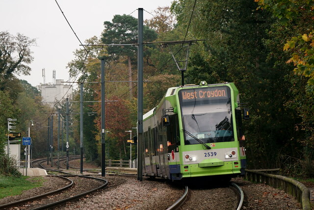
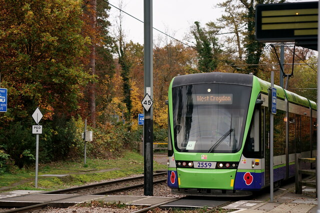
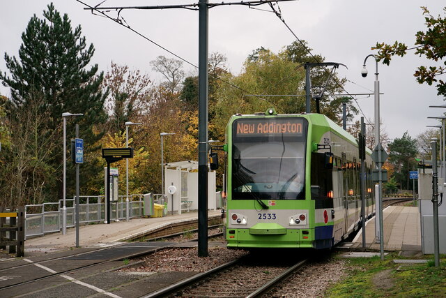
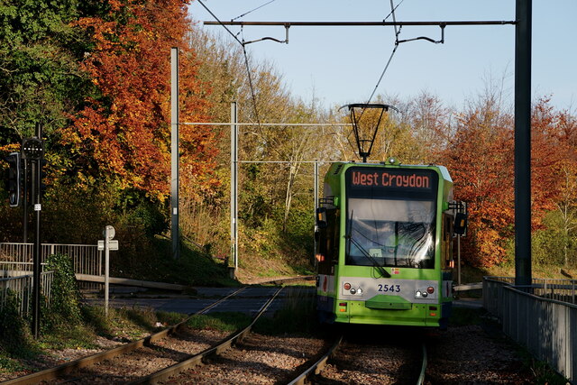
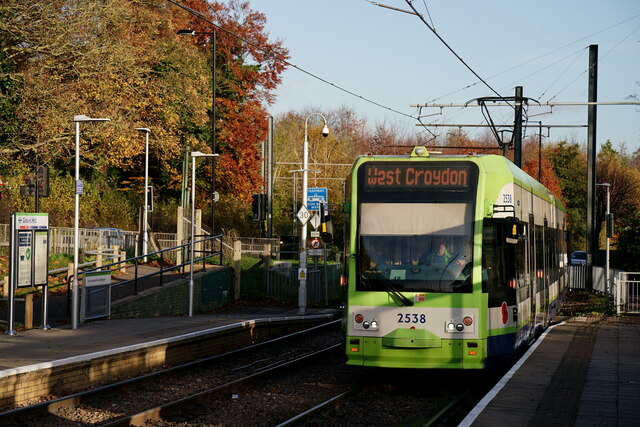
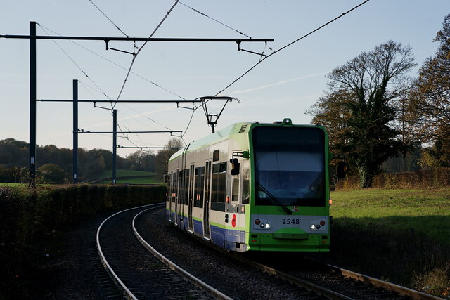
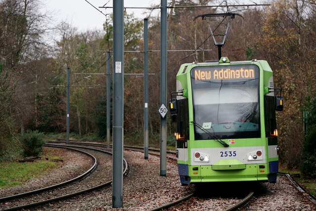
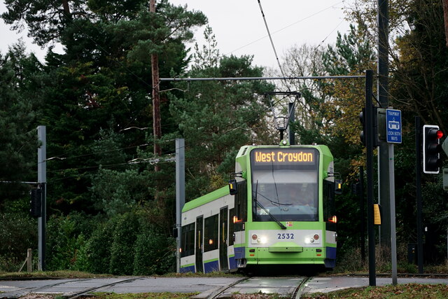
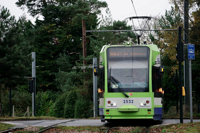
In addition to its historical significance, Addington offers a range of amenities for its residents. The village has a primary school, a local pub, a village hall, and a cricket club. It also benefits from excellent transport links, with nearby tram and bus services providing easy access to Croydon and the wider region.
Nature enthusiasts can enjoy the beautiful Addington Hills, a local nature reserve that is part of the wider Green Belt. This tranquil space offers walking trails, woodlands, and stunning views of the surrounding countryside.
Overall, Addington, Surrey is a charming village that combines rural charm with convenient access to urban amenities, making it an attractive place to live for those seeking a peaceful and scenic setting.
If you have any feedback on the listing, please let us know in the comments section below.
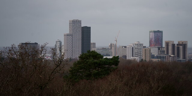
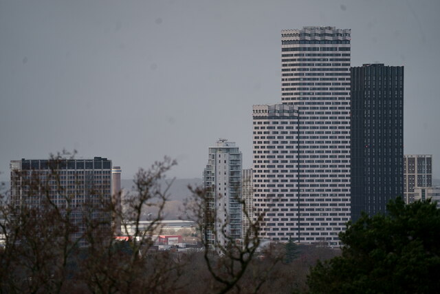
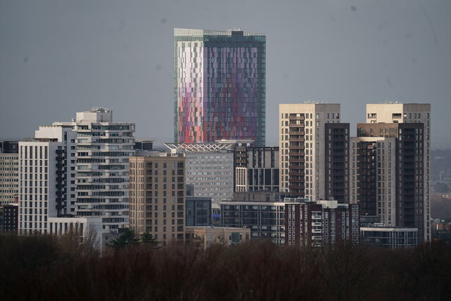
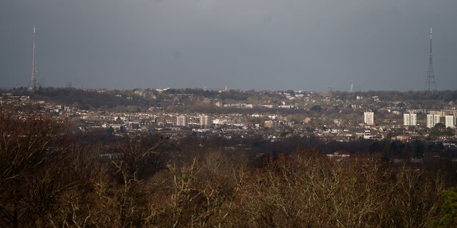
Addington Images
Images are sourced within 2km of 51.35985/-0.033665 or Grid Reference TQ3764. Thanks to Geograph Open Source API. All images are credited.


Addington is located at Grid Ref: TQ3764 (Lat: 51.35985, Lng: -0.033665)
Unitary Authority: Croydon
Police Authority: Metropolitan
What 3 Words
///hits.pokers.often. Near West Wickham, London
Nearby Locations
Related Wikis

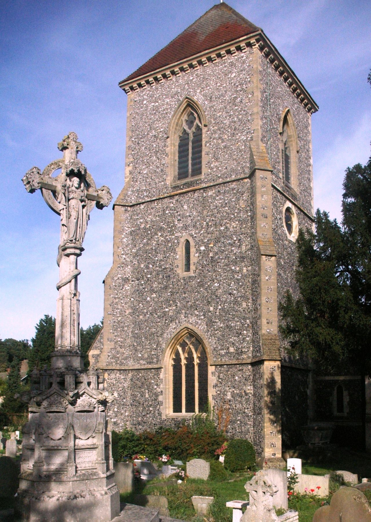
St Mary's Church, Addington
The Church of St Mary the Blessed Virgin is an Anglican church in Addington, in the Borough of Croydon, London. It is associated with the Archbishops of...
Addington, London
Addington is a village and area in south London, England, within the London Borough of Croydon. It is south of Spring Park, west of Coney Hall, north of...
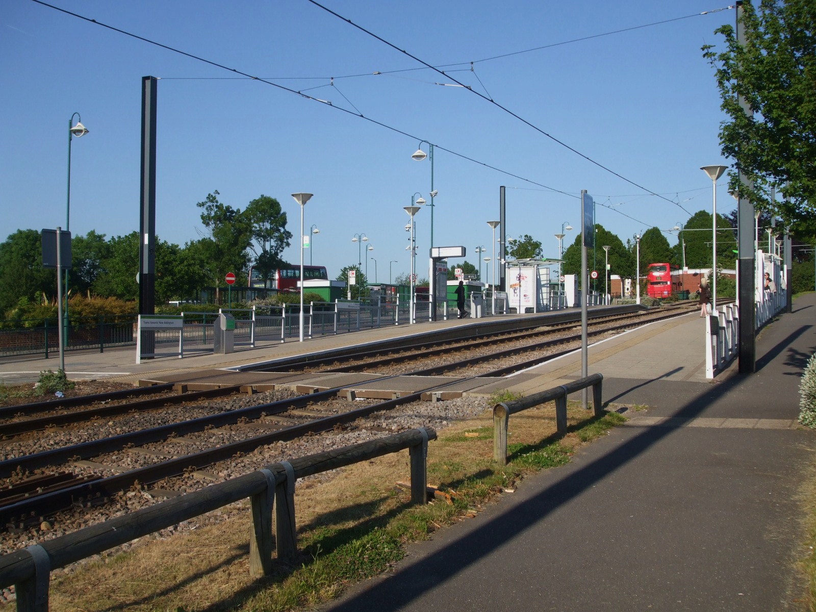
Addington Village Interchange
Addington Village Interchange is a light rail stop and associated bus station serving Addington in the London Borough of Croydon in the southern suburbs...
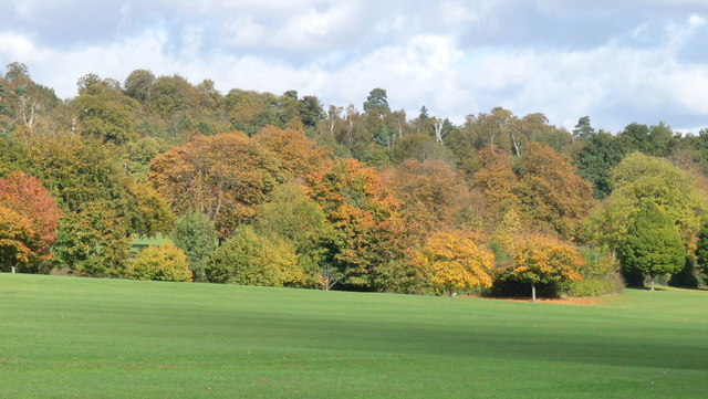
Addington Park
Addington Park is a park situated in Addington in the London Borough of Croydon. The park covers an area of 24.5 acres (9.9 ha). == History == The park...

Addington Palace
Addington Palace is an 18th-century mansion in Addington located within the London Borough of Croydon. It was built close to the site of an earlier manor...

Gravel Hill tram stop
Gravel Hill tram stop is a light rail stop serving Addington, in the London Borough of Croydon in the southern suburbs of London. It is the main destination...

River Beck
The River Beck is one of the tributaries of the River Ravensbourne in south London. The source of the River Beck is in Spring Park (grid reference TQ377647...
John Ruskin College
John Ruskin College is a further education college in South Croydon offering full-time vocational courses and apprenticeships as well as part-time courses...
Nearby Amenities
Located within 500m of 51.35985,-0.033665Have you been to Addington?
Leave your review of Addington below (or comments, questions and feedback).