Threehalfpenny Wood
Wood, Forest in Surrey
England
Threehalfpenny Wood
Threehalfpenny Wood is a picturesque woodland located in Surrey, England. Situated in the southeastern part of the county, it covers an area of approximately 50 acres. The woodland is known for its diverse range of tree species and abundant wildlife, making it a popular destination for nature enthusiasts and hikers.
The name "Threehalfpenny Wood" is believed to have originated from the historic practice of charging visitors a small fee of three and a half pence to enter the wood. Today, access to the woodland is free and it is maintained by the local council.
The woodland is predominantly composed of native tree species, including oak, beech, and birch. These trees provide a dense canopy, creating a tranquil and shady environment. A network of well-maintained footpaths and trails wind through the wood, allowing visitors to explore its beauty at their own pace.
Threehalfpenny Wood is home to a wide variety of wildlife, including mammals such as deer, foxes, and squirrels. Birdwatchers can spot species like woodpeckers, owls, and various songbirds. Wildflowers, ferns, and mosses thrive in the woodland, adding bursts of color and texture to the landscape.
The wood is equipped with basic facilities such as picnic areas, benches, and information boards, making it an ideal spot for families and individuals looking to enjoy a peaceful day out in nature. With its natural beauty and serene atmosphere, Threehalfpenny Wood offers visitors a chance to escape the hustle and bustle of everyday life and connect with the tranquility of the Surrey countryside.
If you have any feedback on the listing, please let us know in the comments section below.
Threehalfpenny Wood Images
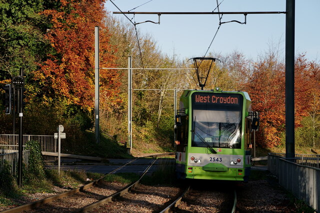
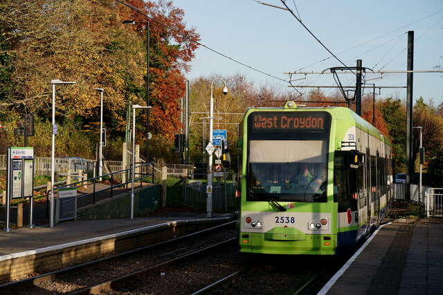
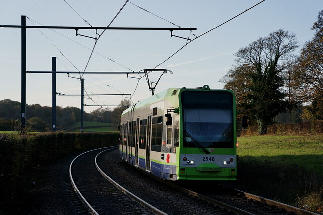
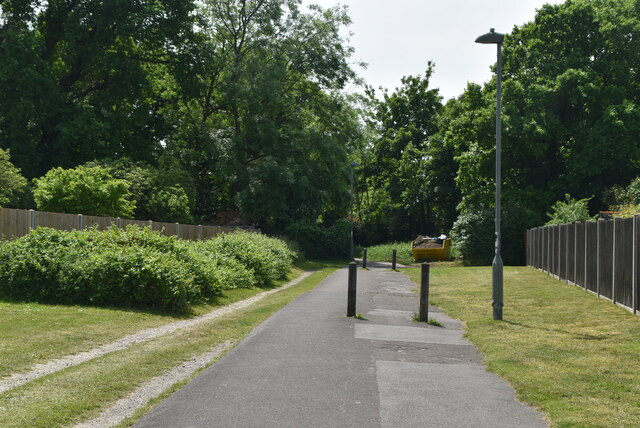
Images are sourced within 2km of 51.363502/-0.023447423 or Grid Reference TQ3764. Thanks to Geograph Open Source API. All images are credited.


Threehalfpenny Wood is located at Grid Ref: TQ3764 (Lat: 51.363502, Lng: -0.023447423)
Unitary Authority: Croydon
Police Authority: Metropolitan
What 3 Words
///ruins.kept.copper. Near West Wickham, London
Nearby Locations
Related Wikis

River Beck
The River Beck is one of the tributaries of the River Ravensbourne in south London. The source of the River Beck is in Spring Park (grid reference TQ377647...
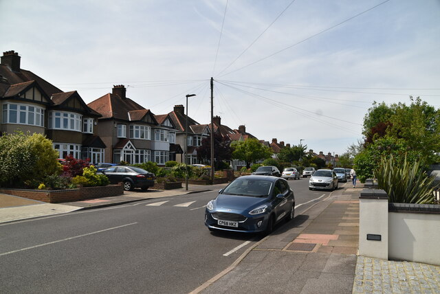
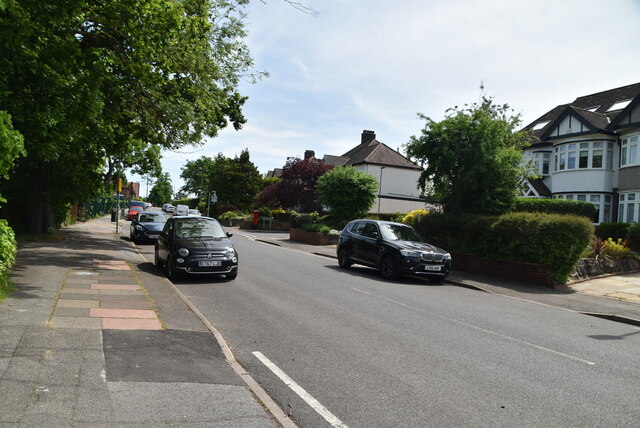
Addington, London
Addington is a village and area in south London, England, within the London Borough of Croydon. It is south of Spring Park, west of Coney Hall, north of...

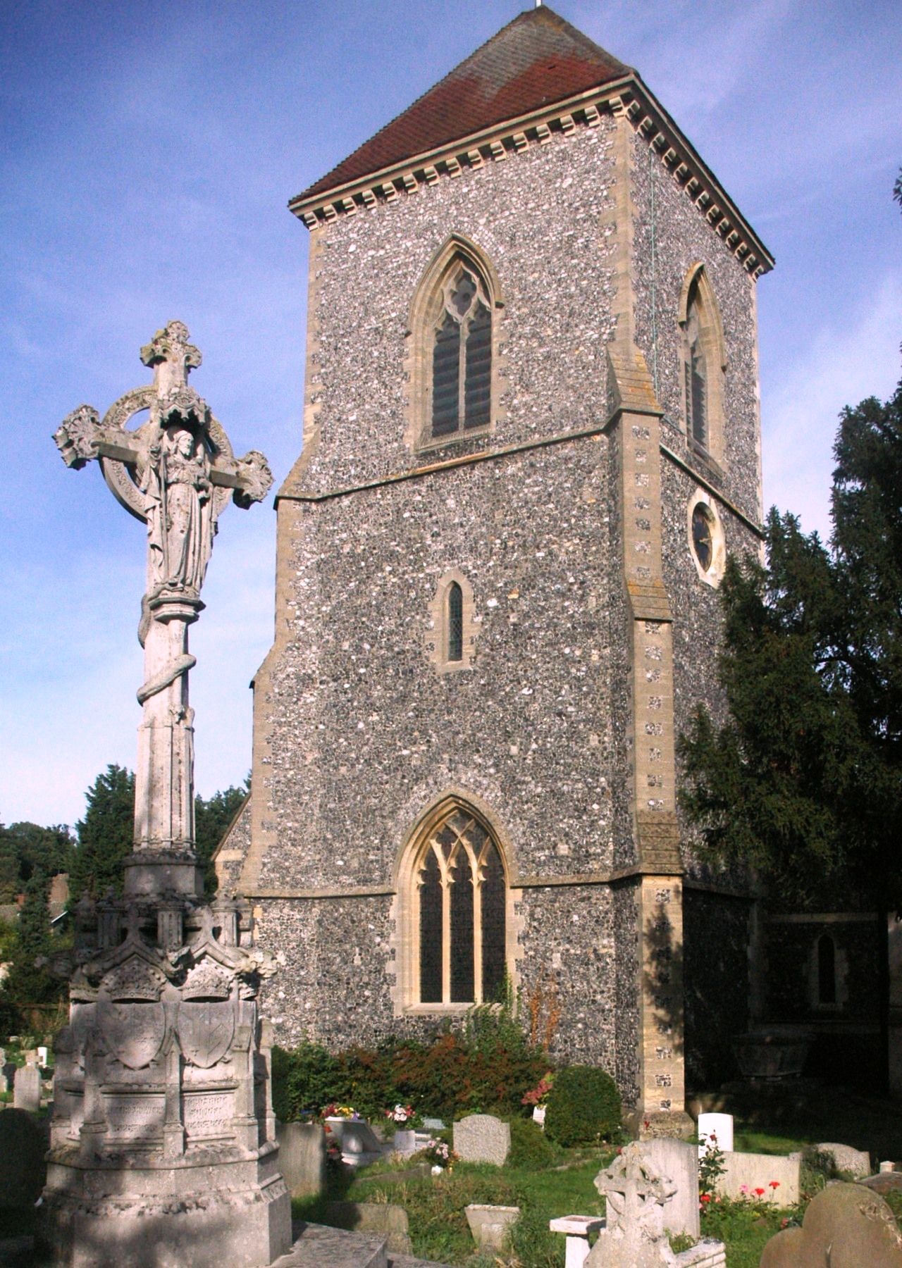
St Mary's Church, Addington
The Church of St Mary the Blessed Virgin is an Anglican church in Addington, in the Borough of Croydon, London. It is associated with the Archbishops of...
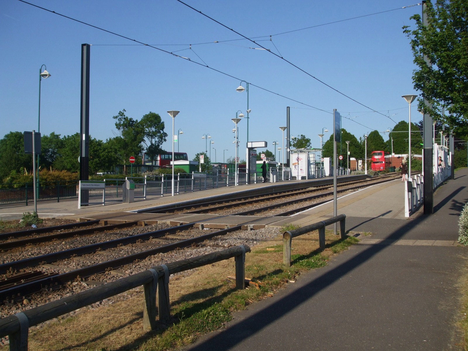
Addington Village Interchange
Addington Village Interchange is a light rail stop and associated bus station serving Addington in the London Borough of Croydon in the southern suburbs...
Nearby Amenities
Located within 500m of 51.363502,-0.023447423Have you been to Threehalfpenny Wood?
Leave your review of Threehalfpenny Wood below (or comments, questions and feedback).